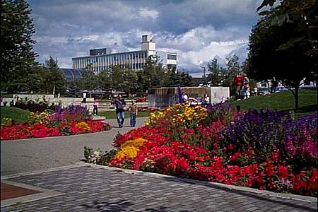
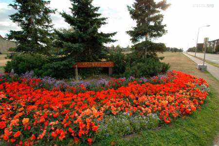
Anchorage Parks & Trails
Taste of the Wilderness
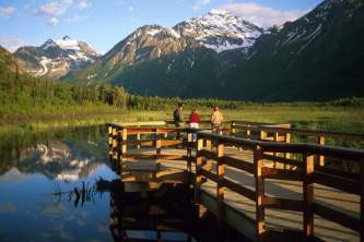
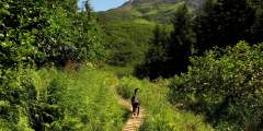
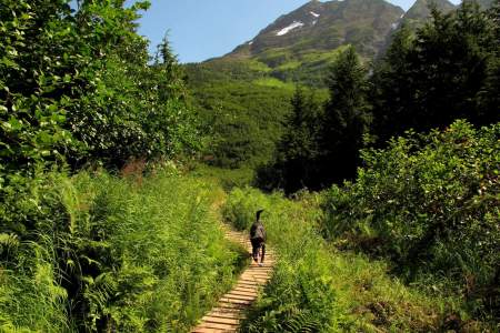
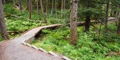
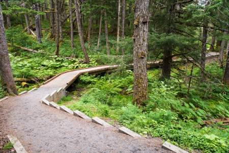
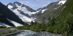
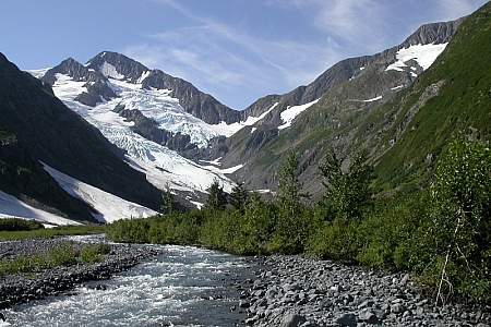
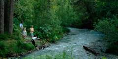
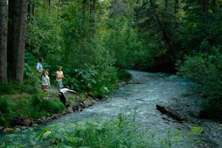
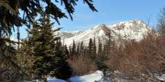
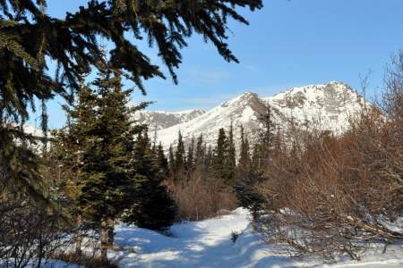
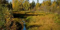
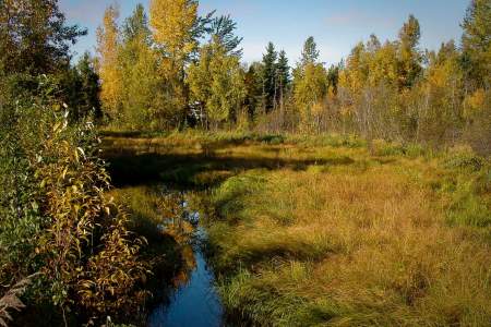
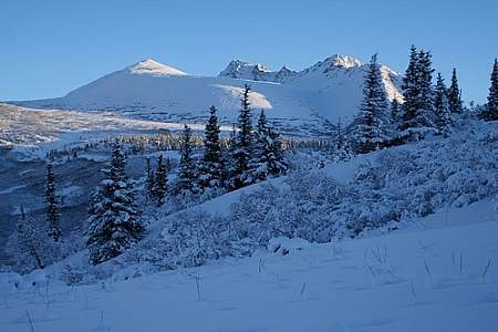
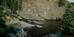
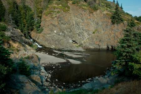
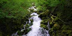
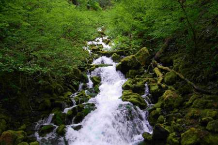
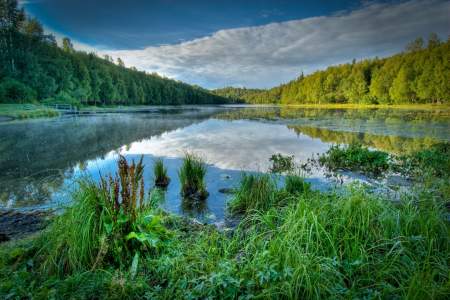
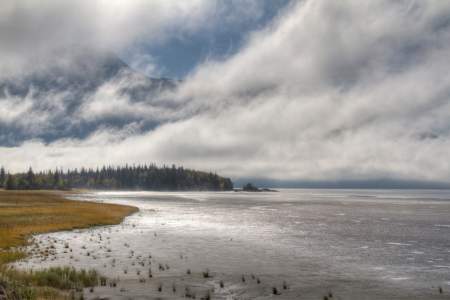
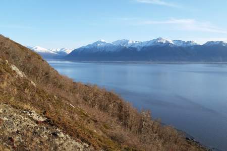
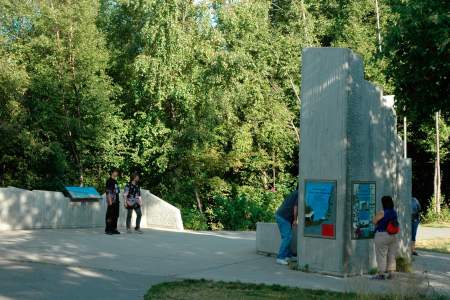
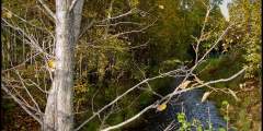
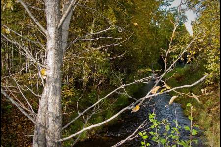
For a feel of authentic Alaskan wilderness, head to the Eagle River Nature Center. You’ll need to carve out some time-3 hours or so—since it’s a 40 – minute drive each way. There you’ll find a dramatic mountain valley with sky-piercing granite cliffs, a swift glacial river, and waterfalls further up the valley.
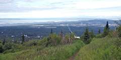
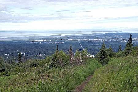
City Views
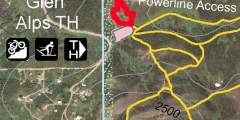
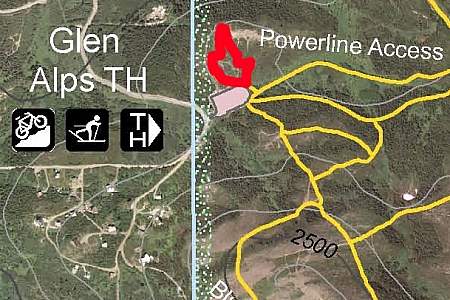
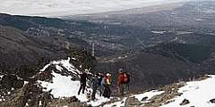
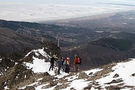
If you don’t have a lot of time but want a steep mountain trail with great city views, hike Flattop Mountain at Glen Alps-Alaska’s most-climbed mountain. It’s a 20-minute drive to the trail head and a heart-pumping 45-60 minutes to the top.
In-Town Woods
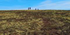
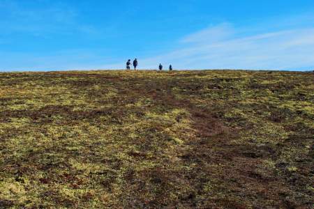
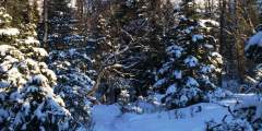
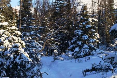
To immerse yourself in the woods in town, head to Kincaid Park. It’s only 15 minutes away, and you’ll find more than 80 miles of trails through the trees, some overlooking the Inlet. A quick warning: Many of the trails are hilly.
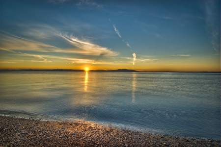
Leisurely Stroll
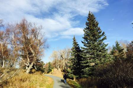
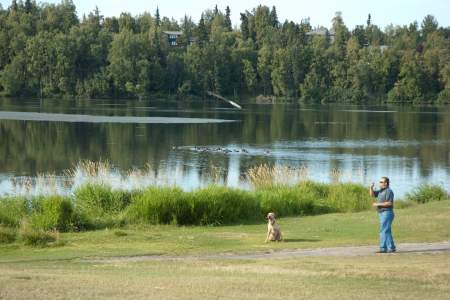
If you want a leisurely stroll with sweeping vistas across the Inlet (and you don’t mind crowds), check out the Coastal Trail. It’s 12 miles from downtown to Kincaid Park along mostly flat terrain. Don't corner moose into fences or houses.
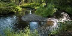
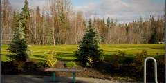
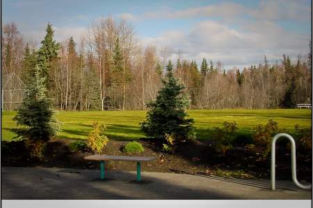
Peace & Quiet in Midtown
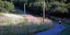
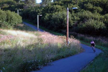
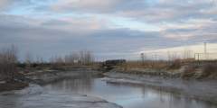
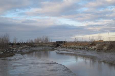
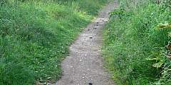
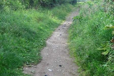
If you have only a short time and you’re somewhere near the Chester Creek Trail, take a walk onto it. The trail follows a winding creek through tall trees-perfect for finding solitude even if you have only a half-hour.
If you're really into hiking, invest in the excellent book, 55 Ways to the Wilderness in South Central Alaska. It remains the classic after more than 20 years in print.
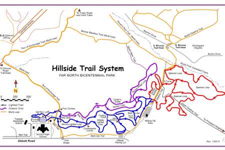
Show Map
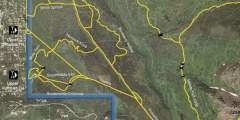
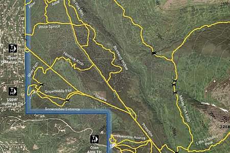
Anchorage Hiking Trails
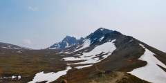
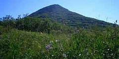
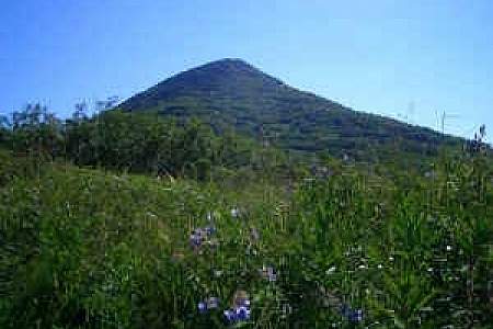
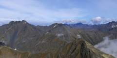
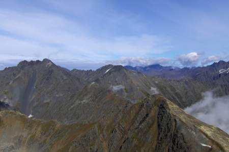
You don’t have to be a mountaineer to reach the summit of O’Malley Peak — the prominent spire rising from the Front Range above Anchorage — but don’t mistake it for an easy climb. Some of the 5‑mile-long trail climbs quite steeply; other parts add very loose gravel to the incline. Still, these conditions don’t make this hike excessively dangerous, just satisfyingly laborious.
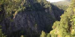
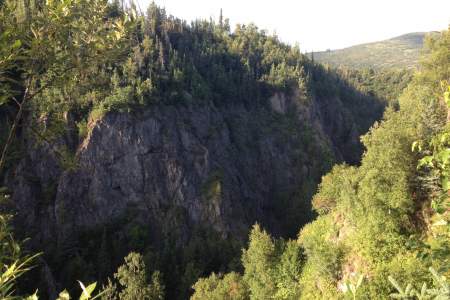
The Campbell Creek Gorge overlook is one of Anchorage’s best kept secrets. It’s just a 25-minute uphill hike — even shorter on bike— from both the Hillside Ski Chalet parking area and North Bivouc Trailhead, or a slightly longer 1‑hour hike from Campbell Airstrip. From the tree-covered overlook, you can gaze hundreds of feet down a sheer cliff to Campbell Creek as it crashes through a narrow, brush-infested canyon.
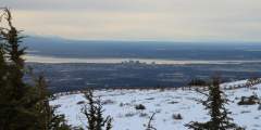
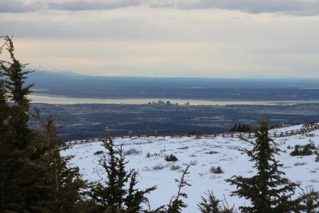
This trail has its own sitting area and viewing deck with views of Anchorage, the Alaska Range, and Cook Inlet. It is really good for seeing sunsets in the evening but it is also windy. The whole route is wheelchair accessible. This is a good short hike for the family to see the view over Anchorage, but not a good trail for the training runner.
If you want a great workout — to stunning mountain views high above the valley floor below — but want to save your knees on the way down, this trail is for you. It leaves from the Alyeska Resort tram building and climbs steep switchbacks 2.2 miles and 2000 feet to the mid-mountain restaurant where you can catch a free aerial tram ride back down to the hotel.
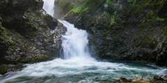
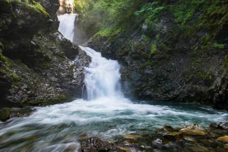
Who can say no to a cool waterfall only a half-hour’s drive from town? One of the most popular “first hikes” for families with small children, the one-mile trail to Thunderbird Falls traverses a handsome birch forest along the Eklutna River canyon to reach a deck with views of a 200-foot waterfall. During winter, the falls can freeze, forming fabulous columns of blue ice.
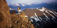
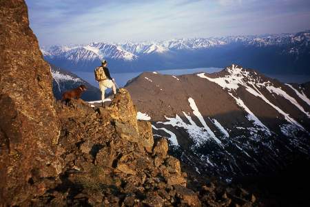
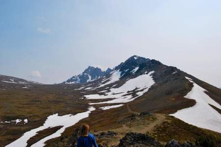
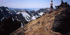
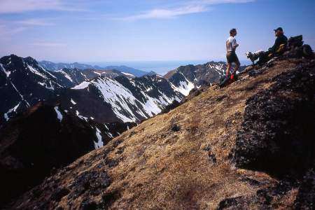
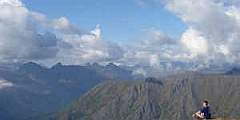
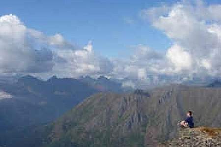
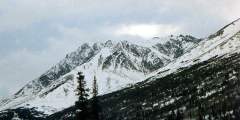
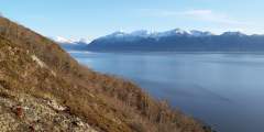
You’ll have a hard time losing your way on this 2.5‑mile climb of 4,301-foot-high McHugh Peak. You’ll also have a hard time forgetting the view from the summit, which extends up the length of Turnagain Arm and across Knik Arm to the Alaska Range. It’s even more satisfying knowing that you found your way to the summit with only minimal help from the trail.
Kincaid Park offers the easiest way to get deep in the woods right in town. It’s a mecca for outdoor sports of all kinds in a wilderness-like setting on the site of a former Cold War missile base. This 1,500-acre park sprawls over an ancient and rugged moraine at the southwest tip of the Anchorage Bowl at the west end of Raspberry Road. From its panoramic views of Denali and the vast Cook Inlet to its intimate deep woods enclaves, the park is ...more
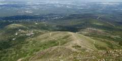
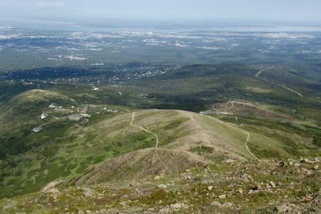
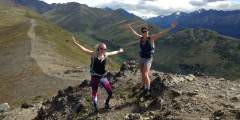
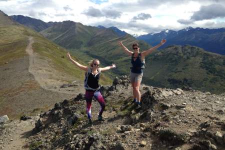
Flattop is Alaska’s most visited peak. Ascend the 1.5 — mile, 1,350 vertical foot trail to the rocky, football field-sized summit in about an hour and take in panoramic views from Denali (Mt. McKinley) to the Aleutian Islands. If you want vistas without the hike, walk the short path from the parking lot to the overlook.
If people suggest climbing Flattop, tell them you’d rather climb Rendezvous Peak. Flattop is arguably Alaska’s most popular (and therefore, most crowded) mountain; Rendezvous is far less crowded and offers better views from the summit. See them by hiking up 1,500 feet to the 4,050-foot summit.
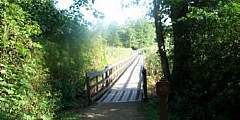
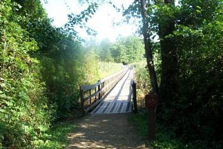
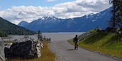
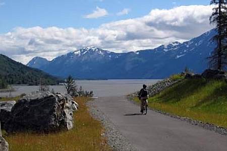
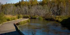
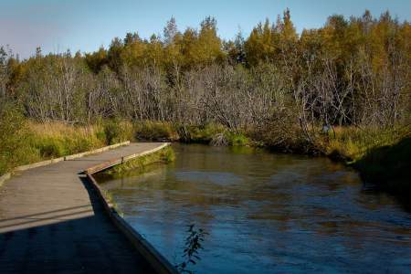
Winner Creek Trail in Girdwood (45 minutes south of Anchorage) is one of our favorite trails to take visiting friends and family. It’s an easy 3‑mile hike or bike ride on a wide, well-developed trail with a gentle elevation gain that winds through America’s northernmost rainforest, crosses a wooden bridge over a thundering blue-water gorge. 2022: Hand tram currently closed, may replace with bridge. Local weighing in.)
This 7‑mile hike, which begins in the mountains just above Anchorage, takes you to the numerous Williwaw Lakes, all of which are clustered below the sheer north face of Mount Williwaw — the highest peak in the Front Range.
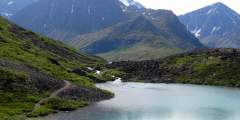
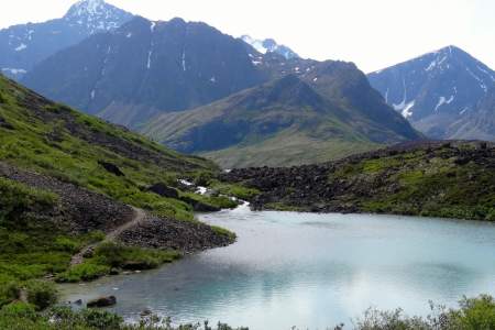
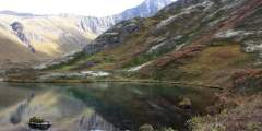
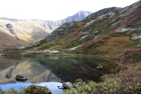
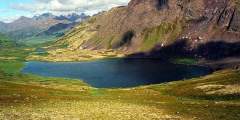
Rarely do two lakes lie within a few feet of each other. Fortunately, the trail to see this geological rarity begins just a 30-minute drive north of Anchorage. From the trailhead for South Fork Eagle River Trail, it’s a gradual 4.8‑mile (one-way) climb up a wide valley, leading to a narrow isthmus between the green waters of Eagle Lake and the blue waters of Symphony Lake.
This short day hike — with an easily accessible trailhead a few hundred meters from the Begich Boggs Visitor Center — offers you big views of the Byron Glacier.
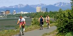
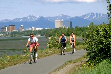
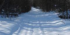
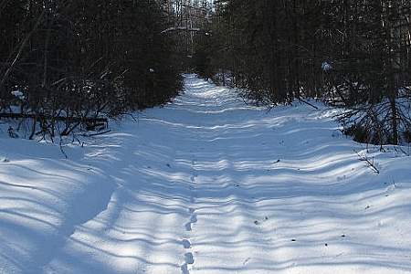
The Tony Knowles Coastal Trail is one of four greenbelt trails located in Anchorage. Even though the trail spans 11.0 miles each way (from Kincaid Park to just north of where 2nd Avenue ends in the Cook Inlet), it is easily picked up from several points in the city, so you can enjoy any segment and hike as little or much of the trail as you desire. In the winter, the trail is groomed for cross country skiing.
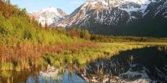
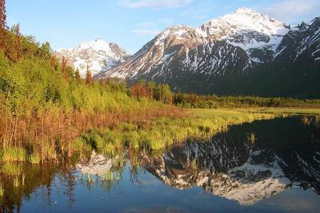
Forty minutes from downtown Anchorage lies Eagle River Nature Center, a gateway to Chugach State Park and a glacial river valley as wild and dramatic as any in Alaska. Enjoy an easy, 3‑mile nature walk on the Albert Loop or trek up-valley 5 miles to see plunging waterfalls and 3,000-foot cliffs. In winter, traverse the trails on cross-country skis or snowshoes.
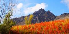
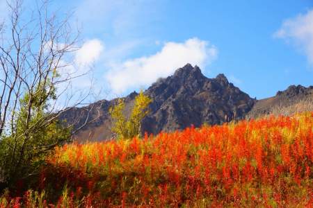
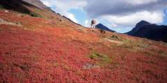
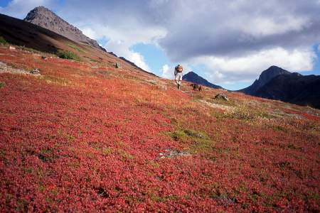
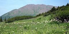
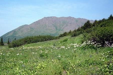
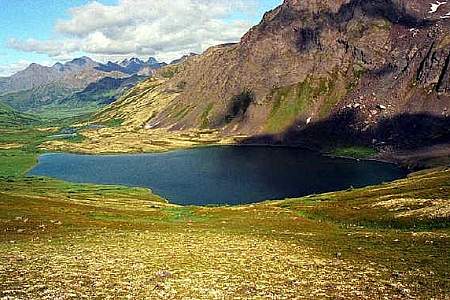
This trail quickly gains elevation on its way to an alpine meadow framed by the dramatic Twin Peaks and Goat Rock, but climbs to magnificent views overlooking the entire valley. Dall Sheep are often spotted above the timberline. From here there is a spectacular view of the lake below. This is also a good place for berry picking in the fall. Because of the crushed rocks, the trail is hardly ever muddy.


Explore Further

Expert Advice