Why Take This Hike
This 4.4-mile hike is one that many people can do, and doesn’t involve extensive planning or packing. And because it’s just a short drive from Anchorage, many people do indeed take it on—some at the last minute or as an after-work excursion. Its popularity makes sense: the hike ends at a large lake, in the shadow of two near-sheer faces of 5,000-foot peaks. There on a late summer evening, it’s possible to lay in the long light, listening to the waters lapping on the rocks below.
The Details
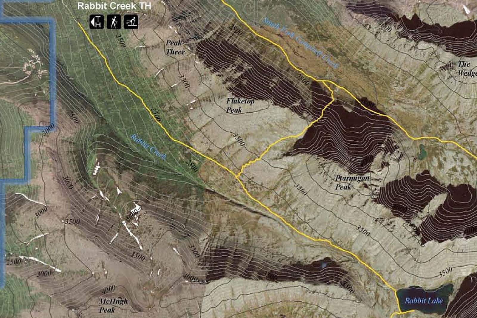
If you don’t have much experience driving in mountainous country, it should prove exciting to motor along Canyon Road, high in the southeast corner of Anchorage. Winding up a shelf just below Flattop Mountain on the left and McHugh Peak across the valley to the right, this paved road eventually gives way to dirt as it climbs into the foothills of The Front Range. Not until just below tree line does the road end at the parking area for Rabbit Creek Trail.
Beyond the gate at the upper end of the parking area, this trail begins on the continuation of that dirt road. In fact, almost the entire trail is continuation of Canyon Road as it winds its way up the valley to the lake.
Traveler's Tip!
Get out on the water by renting an inflatable raft from AK Paddlesports that will fit into your backpack!
AK Paddlesports
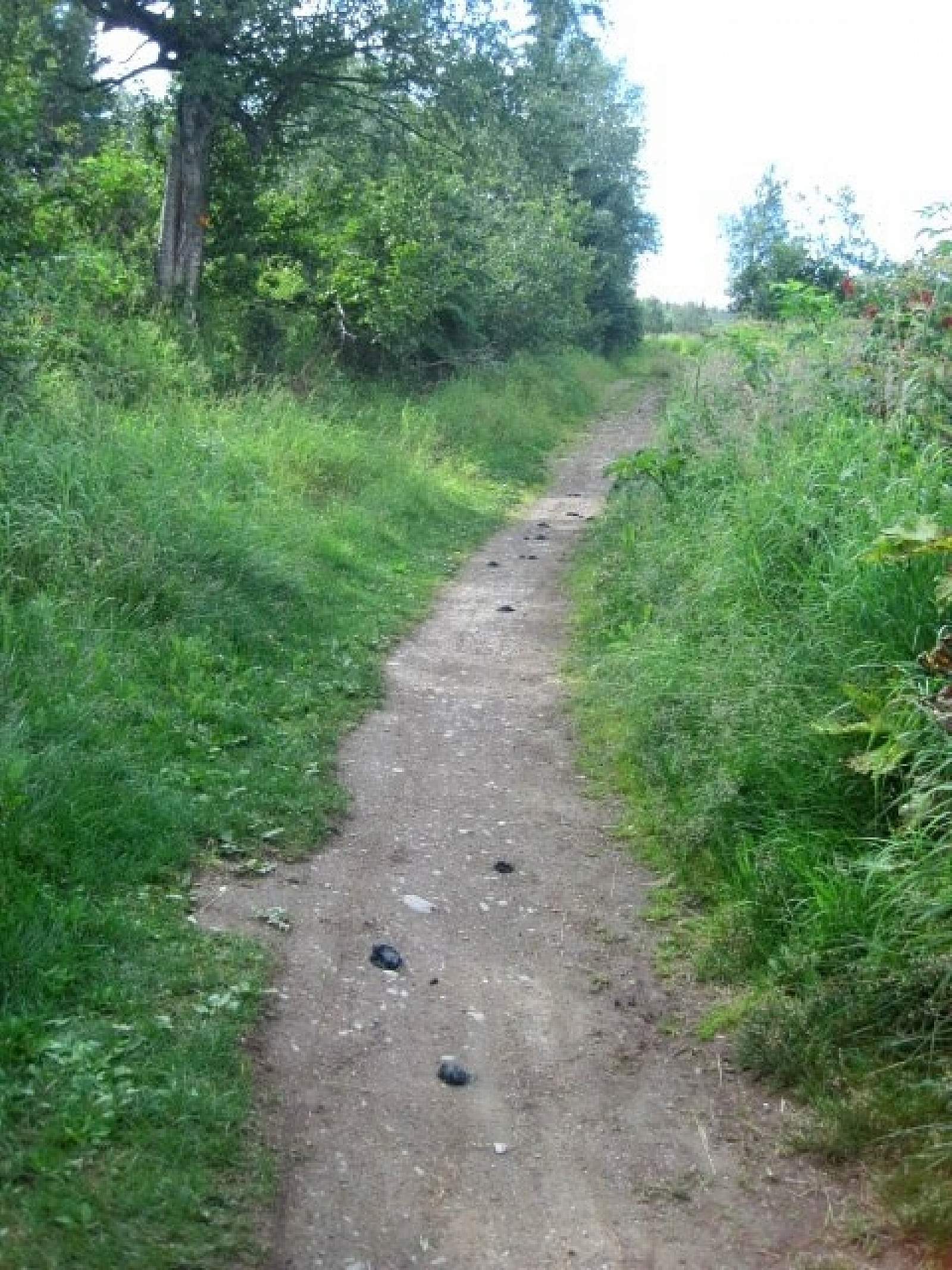
But don’t expect an entirely easy-going journey. About 1 mile above the gate, the trail becomes a bit tortured. Here’s why: A few years ago, a man bought land around this area. Wanting to limit people’s right-of-way (and force Chugach State Park to buy his land at a greatly exaggerated price) he tore up the road on his property with a backhoe, and the effects remain. As erosion continues its slow and ceaseless work, the road slowly continues to level out, but you should still expect mud holes and rocks along this short section of trail.
The trail then continues up the valley in a long and gradual climb to the top of a high knoll. Near the top of this climb, you’ll pop above the last trees. A few minutes later, standing atop the knoll, you’ll have a wide view of Rabbit Lake, still some 2 miles away. It fills almost the entire upper end of the valley below the rock-walled summits of North Suicide Peak and South Suicide Peak. (Both mountains are popular climbs for experienced scramblers, despite the inhospitable names.)
Drop onto the flats on the far side of this knoll and follow Rabbit Creek up the valley to reach Rabbit Lake. Come prepared for weather changes along these last few miles—it pours through Windy Gap at the head of the valley between the two Suicide peaks and can change very rapidly. Some days you might begin this hike under calm and brilliant sunshine and end it by pushing head-on into a chilly, rain-spitting wind.
No matter what the conditions, the hike usually doesn’t take long. This means that—weather permitting—you’ll have plenty of time to relax on the open rise, looking out over the lake before you and the gurgling outlet of Rabbit Creek just below to the right.
While relaxing, take a moment to digest that you’ve climbed around 1,300 feet from the parking area and now sit some 3,000 feet above sea level. Apart from the one big climb over the knoll, you may not have noticed how consistently you’ve climbed.
If you still have some energy, don’t stop here. Just over the low pass on the far side of Rabbit Creek lies McHugh Creek Trail. This leads you a short way down to McHugh Lake, and then all the way down that valley to the McHugh Creek Picnic Area. In the opposite direction, you’ll find a rough trail leading down the left (north) side of Rabbit Lake to its far end. There, at the base of North Suicide Peak, is a narrow beach—a fine place for a private picnic.
(For more, see Walk-About Guide to Alaska, Volume Two by Shawn R. Lyons)