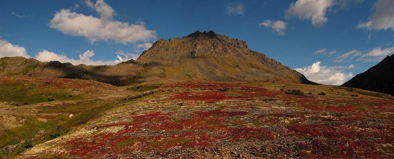
Why Take This Hike
Reaching the summit of Avalanche Mountain takes a considerable amount of effort: a 5.5-mile hike up Powerline Trail followed by a 1.5-mile off-trail scramble. But this 3,200-foot climb—which begins at the Glen Alps parking area, just 10 miles from downtown Anchorage—takes no mountaineering skills. If you feel at all comfortable hiking and climbing over some loose stones and boulders, you should find this to be a very gratifying adventure.
The Details
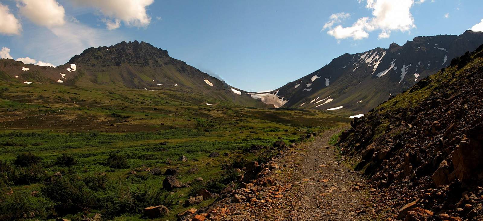
From Glen Alps, hike the 0.25 miles out to Powerline Pass Trail and turn to follow it up the valley. Even this early in the journey you can see Powerline Pass on the horizon—the saddle with the barely visible power line tower at its crest. You can also see the slope, rising to the left of the pass, that you’ll climb to reach the summit ridge of Avalanche Mountain. But though you can already almost see your destination, it will take some time to get there.
Many people actually prefer to bike as far as they can to Powerline Pass; some even manage to bike the very rocky final 0.5 miles up to the pass. Most, however, bike only to where the creek outlet for Green Lake (just off to the right) crosses the trail. If you’ve come this far on two wheels, you might consider stashing your bike here; soon after crossing the creek, the trail turns too steep and rocky for easy biking.
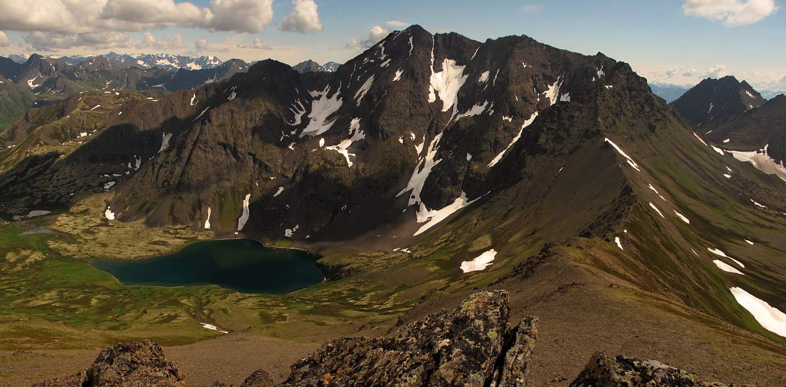
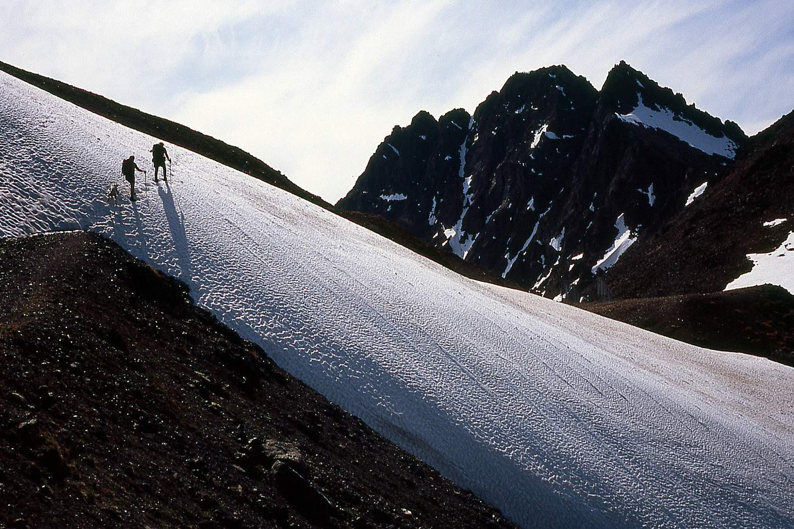
Very few people reach this upper cirque of the Powerline Valley, so you just might find yourself alone by the time you reach Green Lake. Look for hawks circling above—you might even see an eagle. Then take a moment to relish standing amid the circle of high peaks rising on all sides. Before long you will climb onto that circle.
Upon reaching the power station in Powerline Pass, the actual climb of Avalanche Mountain begins. Turn left at the station and start up the broad face of mixed tundra and scree that angles upward off that side of the trail. Though any route will suffice, you’ll generally find firmer footing by staying close to the left side of the slope.
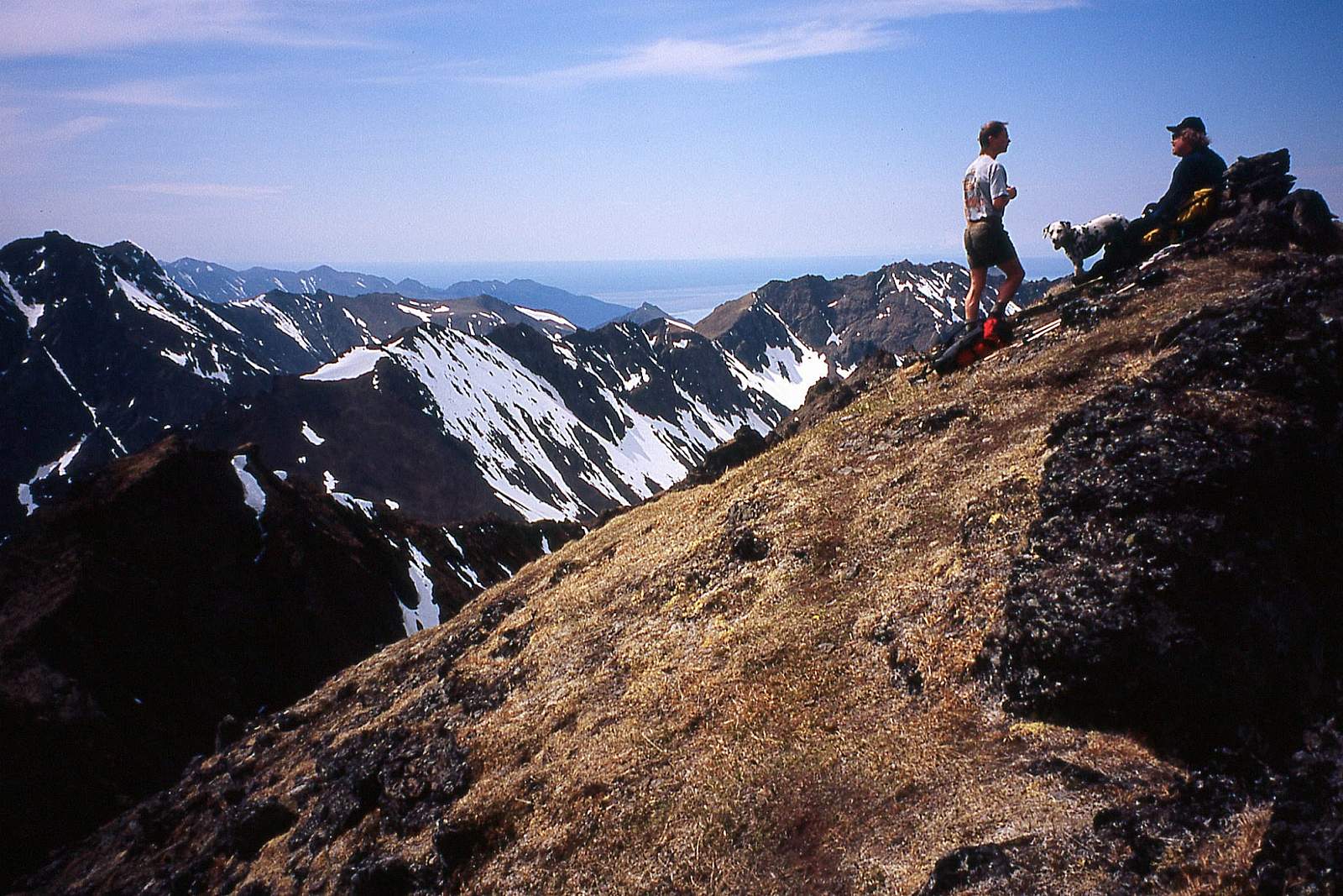
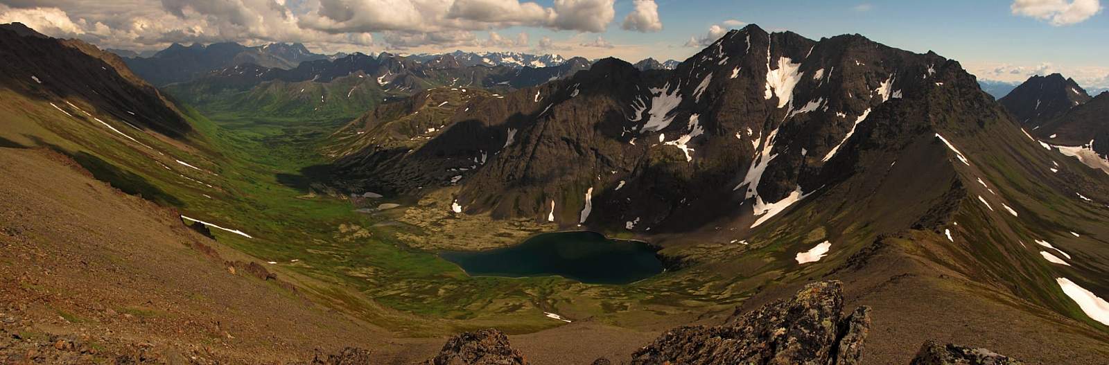
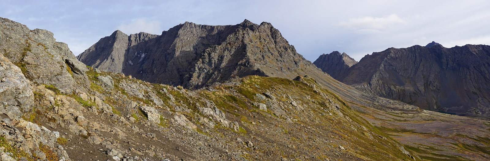
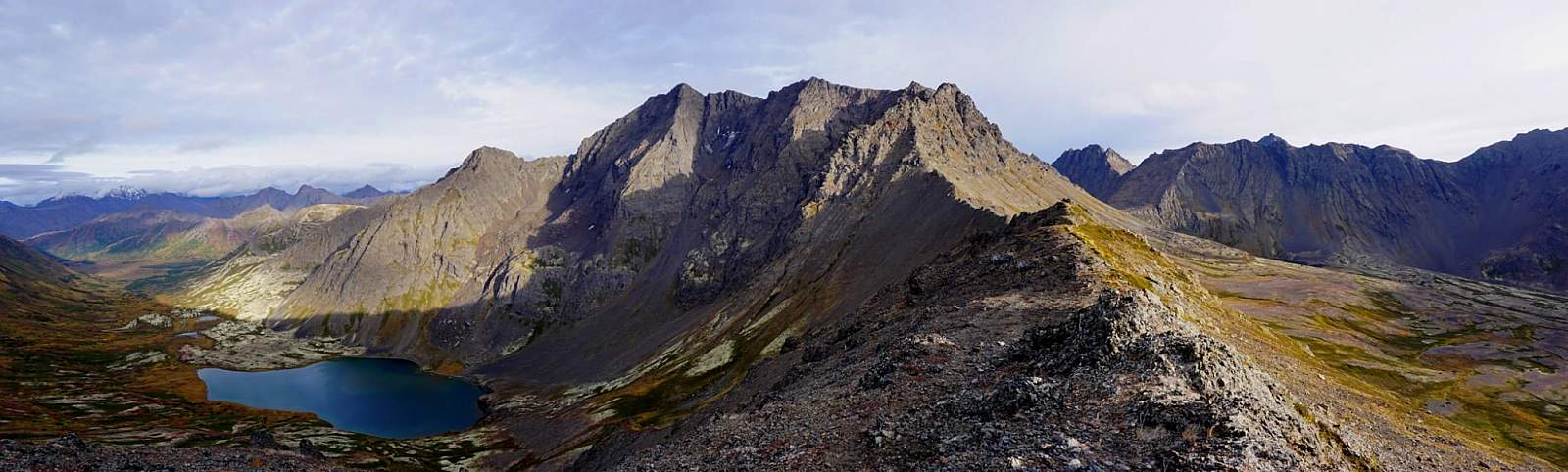
At the top of this broad face the slope narrows to a ridge. Continue up the ridge as it winds over various hillocks toward the summit. You’ll pass over a number of false summits, which can lead to sighs of frustration. But instead of sighing, appreciate the views—especially the one on the left looking directly down the mountain’s north face to Ship Lake.
Through such awe-inspiring distractions, the mile-long climb along the ridge passes rather quickly. Then it only takes one last, short scramble to stand on the spired summit of Avalanche Mountain (5,050 feet). From there, gaze out at the broad Ship Creek Valley to the east and follow the Chugach Mountains as they disappear into a haze of snow-capped summits on the distant horizon beyond.
(For more, see Walk-About Guide to Alaska, Volume Two by Shawn R. Lyons)