Why Take This Hike?
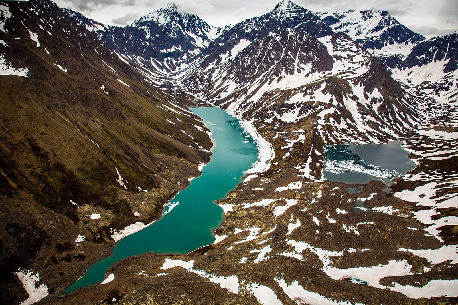
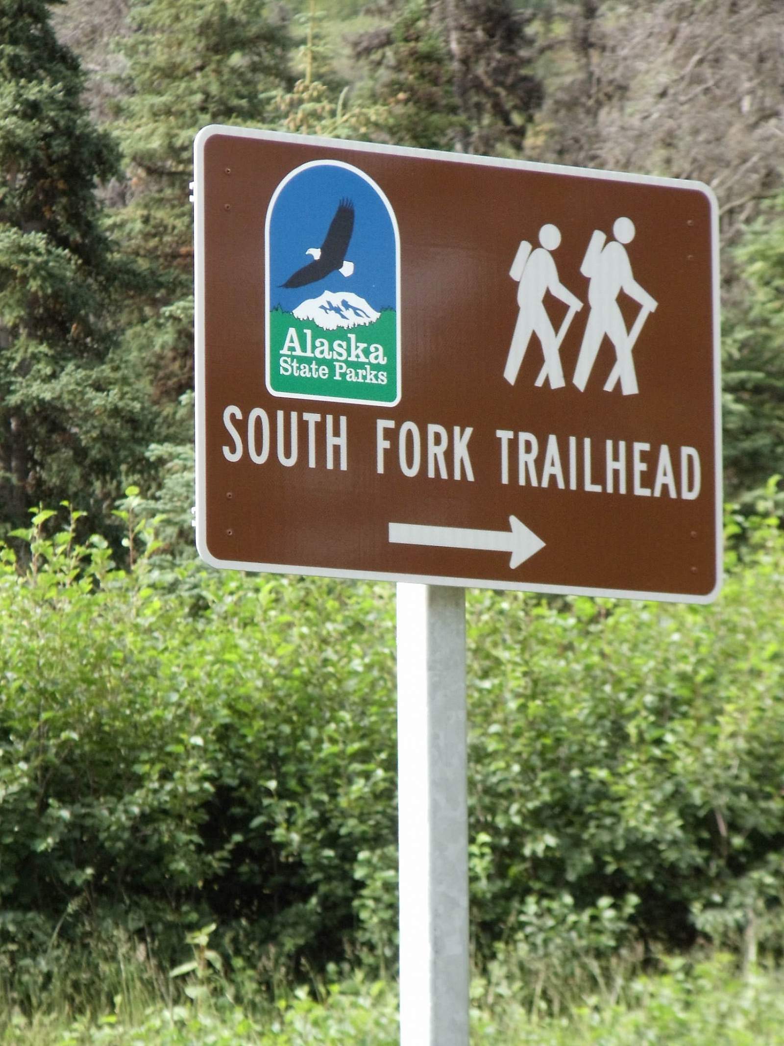
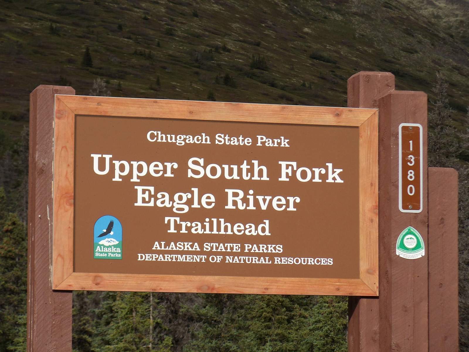
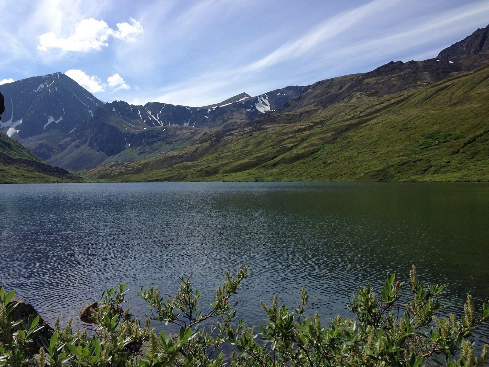
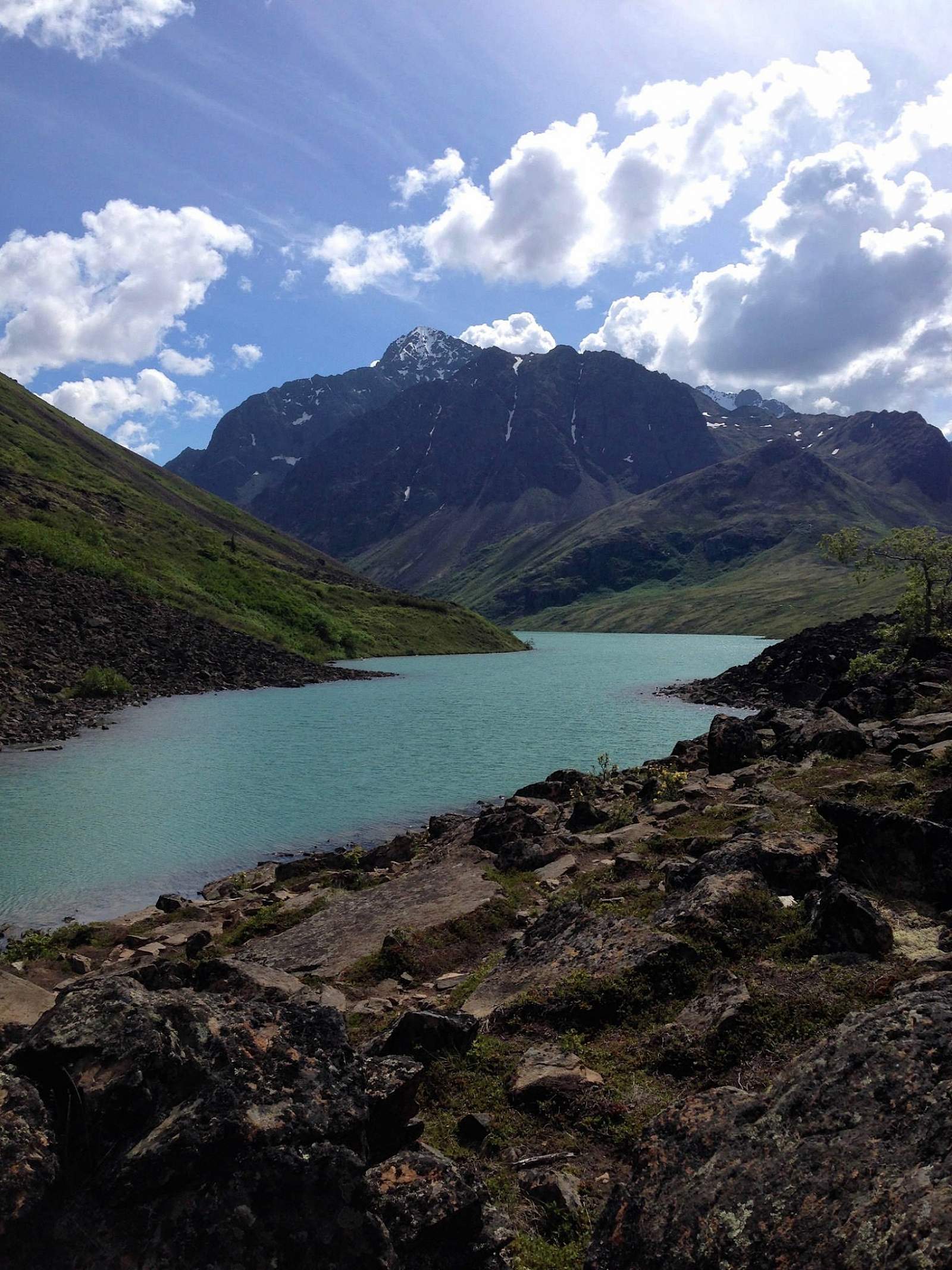
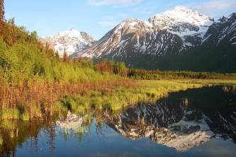
Rarely do two lakes lie within a few feet of each other. Fortunately, the trail to see this geological rarity begins just a 30-minute drive north of Anchorage. From the trailhead for South Fork Eagle River Trail, it’s a gradual 4.8-mile (one-way) climb up a wide valley, leading to a narrow isthmus between the green waters of Eagle Lake and the blue waters of Symphony Lake.
Traveler's Tip!
Get out on the water by renting an inflatable raft from AK Paddlesports that will fit into your backpack!
AK PADDLESPORTS
The Details
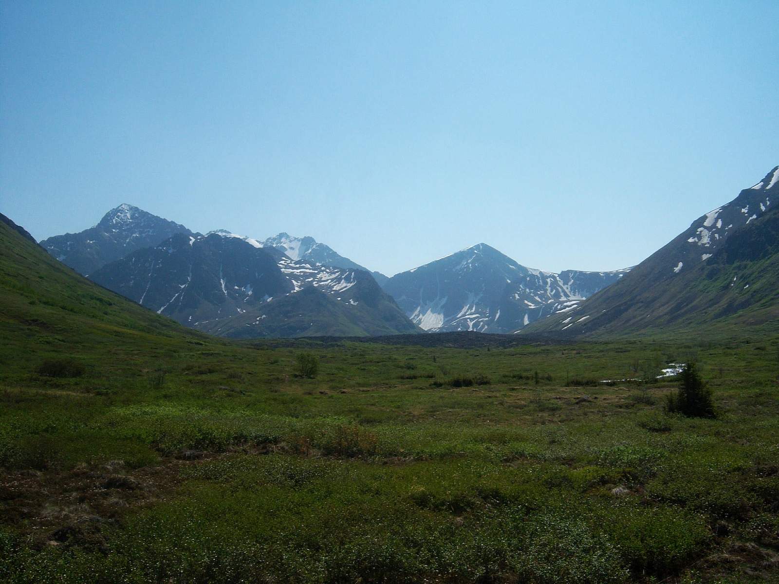
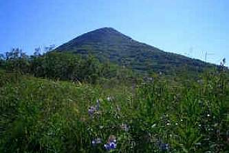
From the South Fork Eagle River Trail parking area, it takes just a few minutes to climb above the trees to more open country. Once on the bench, high on the valley’s east side, the trail turns up the valley. You won’t yet see the lakes, but you will see the mountain near where they lie—Cantata Peak, the dominant mass that fills the valley’s upper end.
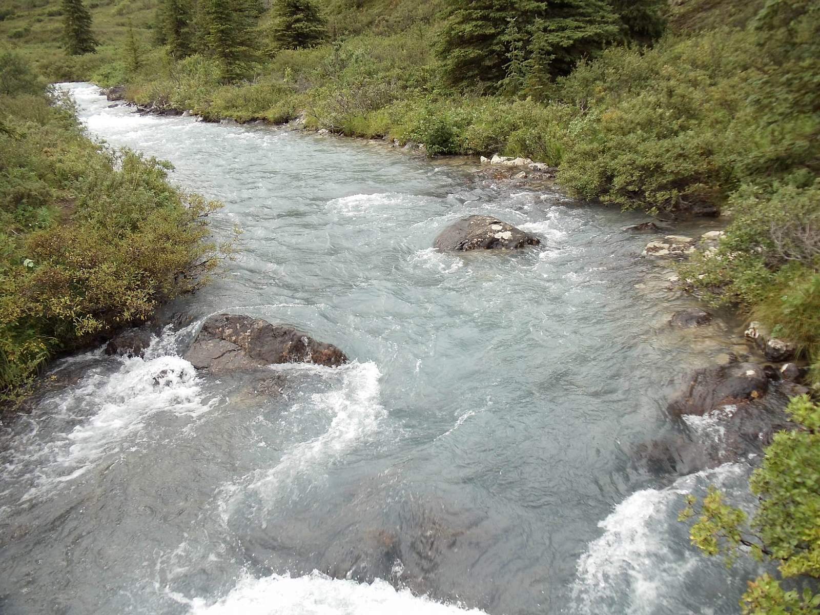
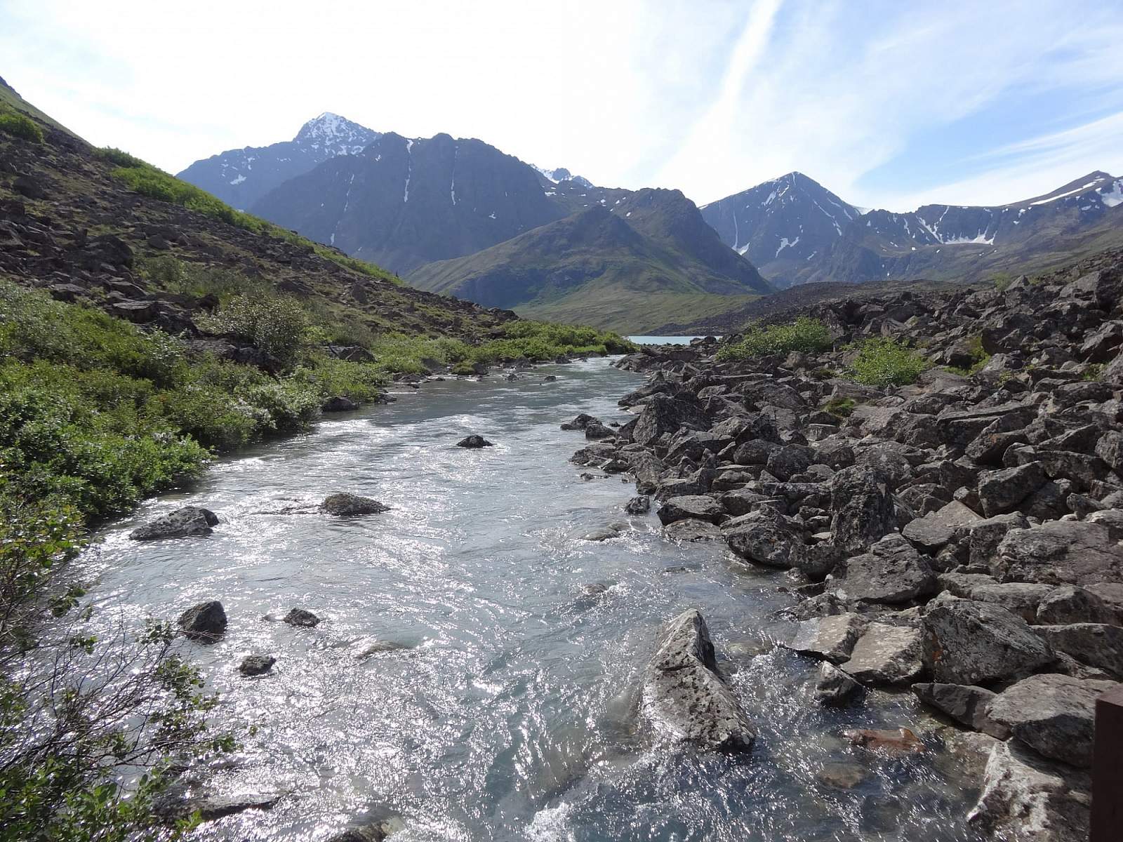
After 1 mile of hiking up the bench, the trail drops into the valley and crosses a wide and substantial bridge over the South Fork Eagle River (which drains both lakes). After winding its way up and down over bumps and ridges and through stands of spruce and aspen, the trail crosses to the far side of the valley. There, it passes the unmarked Hanging Valley Trail on the left and turns right to head straight up the valley.
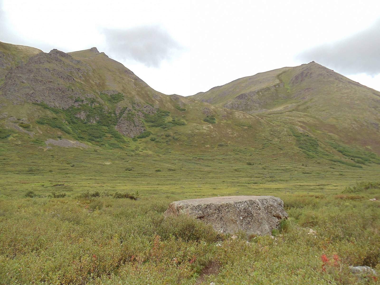
Before long you’ll reach a boulder some 5 feet high, in a clearing on the right. This makes a fine place for a quick break. It also makes a good vantage point from which to scout: From its top, particularly tall people may be able to see the waters of Eagle Lake.
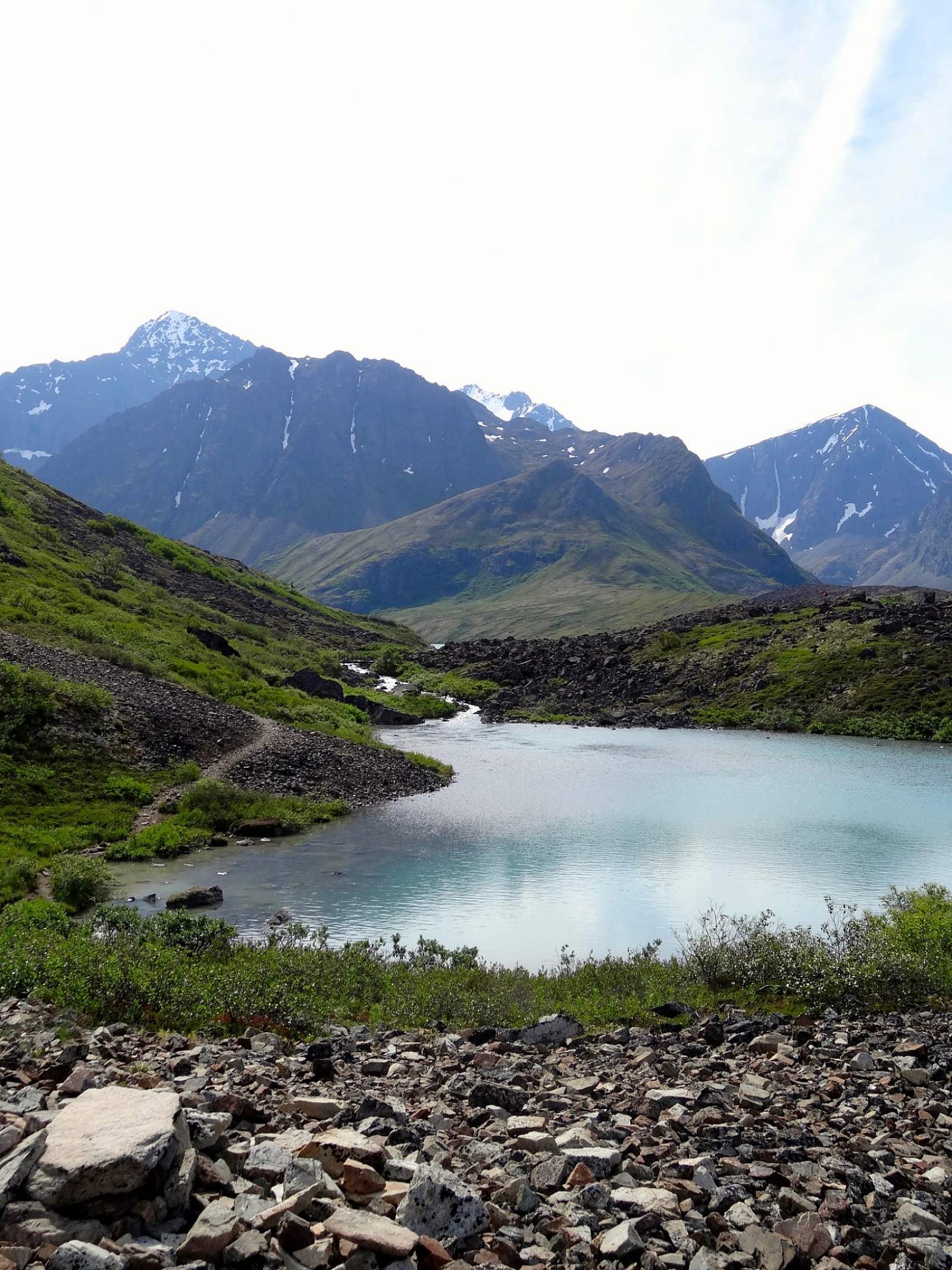
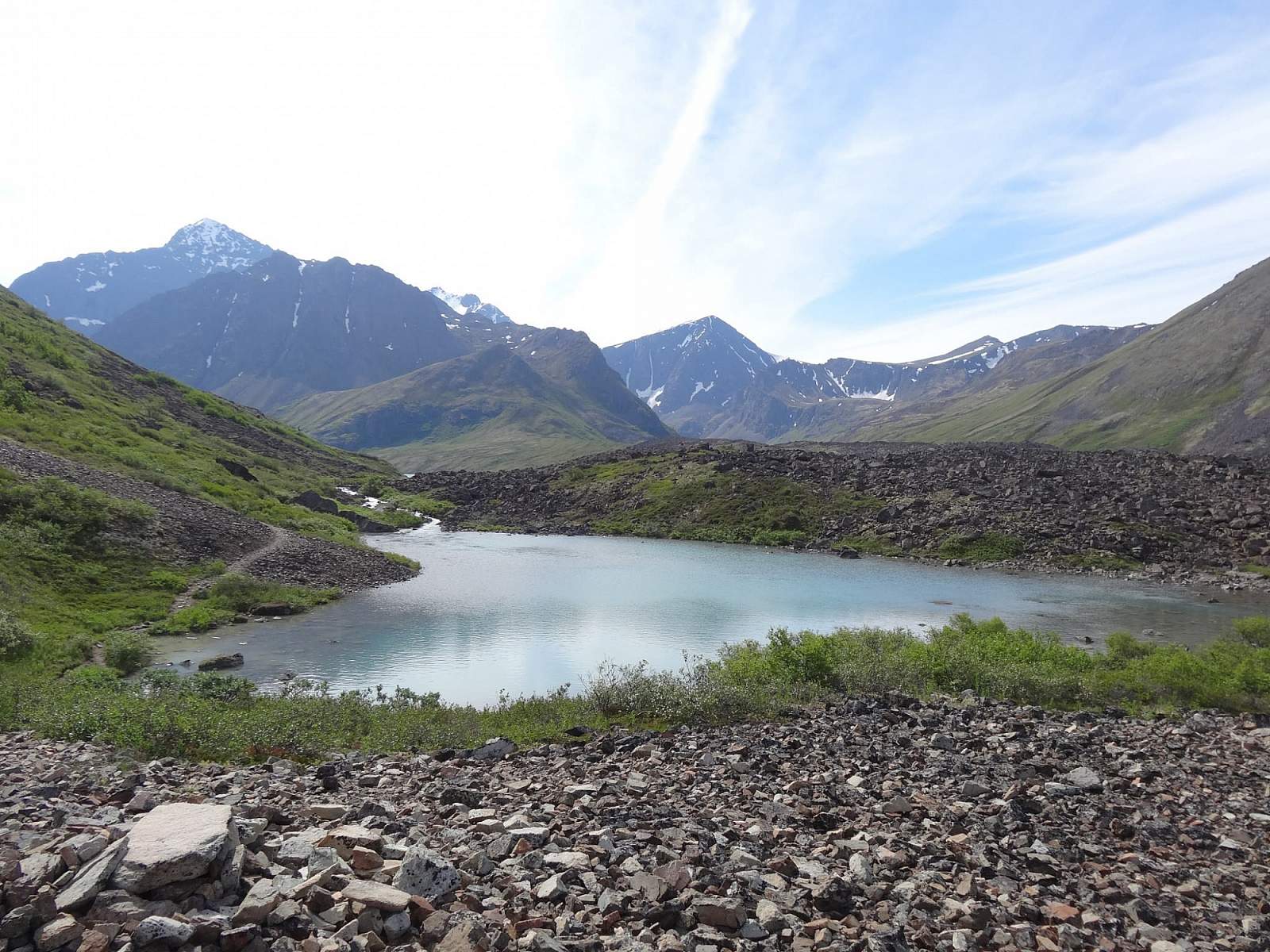
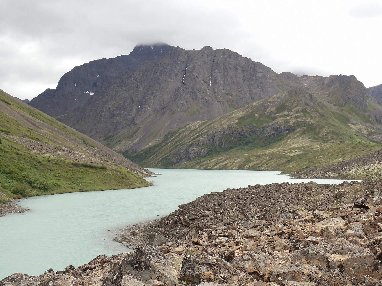
The trail climbs very gradually through some rough, rocky, and wet terrain; your next landmark is the small bridge that crosses the outlet of Eagle Lake. Across that bridge, the trail enters a large moraine field—piles of boulders left behind in a glacier’s passing. Here the footing turns especially tricky, and you may even lose the trail as it winds around and over the chaos of stones. If that happens, just keep Eagle Lake within view on your left and head toward Cantata Peak.
Eventually, you’ll leave the boulders behind and reach the unfinished cabin at the near end of the isthmus between the two lakes. While this is the official end of the trail, you don’t have to stop. Follow it down the dirt- and grass-covered isthmus toward the base of Cantata Peak. On calm days you can hear both the green and blue waters lapping on the rocks below.
How to explain this musical stereophonic effect to friends back home will prove an exercise in creativity. If you can bring even the smallest spark of wonder to their eyes, pat yourself on the back: You’ve transported someone else into the magic of your own experience.
(For more, see Walk-About Guide to Alaska, Volume Three by Shawn R. Lyons)