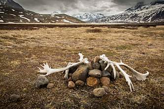
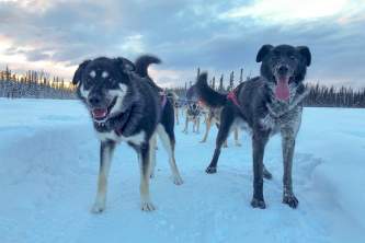
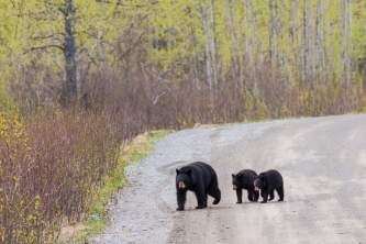
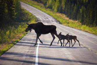
Come to Southcentral if you want to visit Denali National Park (Mt. Denali) and Kenai Fjords. This is the best region to see Alaska's big 5 wildlife: moose, bears, caribou, wolves, and dall sheep.
Southcentral & Interior
Getting Around
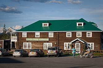
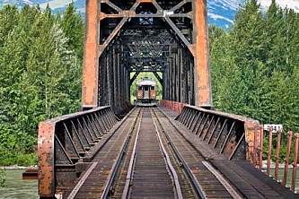
Southcentral Alaska is the land tour hub -- whether you're flying into Anchorage and driving, taking the train, or traveling by motorcoach on a post-cruise tour.Little Known Fact
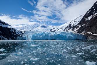
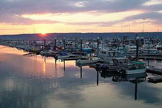
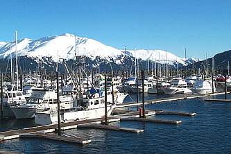
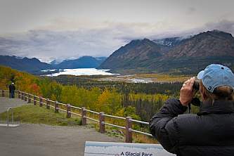
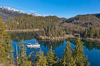
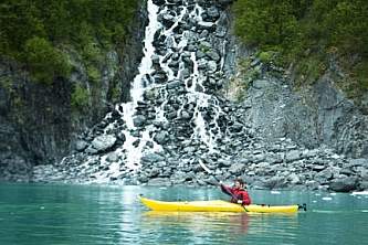
You'll see as many glaciers on a day cruise from Seward or Whittier as you would on a big ship 7-day Inside Passage cruise.Iconic Alaskan highlights abound in these essential regions: Anchorage, Denali, and the Kenai Fjords all lie within its boundaries. For the independent traveler, it’s easy to see them all. After all, Anchorage has Alaska’s biggest airport, with direct connections around the world; roads make it easy to travel everywhere by bus and car; and it’s the only part of the state where the railroad connects some of the major national parks.
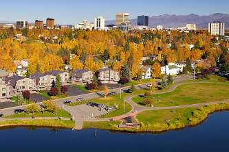
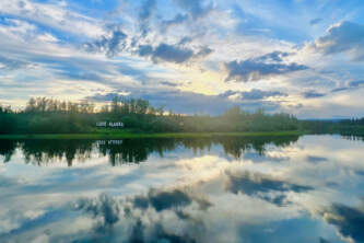
These two regions are home to over half of Alaska’s population; see for yourself what draws residents and visitors alike. Most independent travelers begin their vacation amid the great restaurants, shops, and attractions in Anchorage. This vibrant city is worth a couple days; you can also make it your base while exploring surrounding areas, especially since Alaska’s lush wilderness lies just outside the city’s edge.
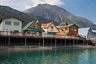
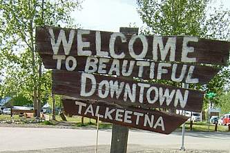
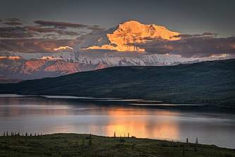
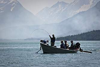
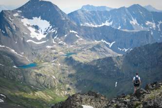
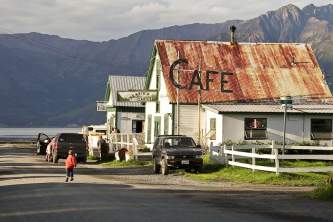
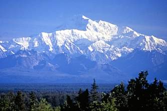
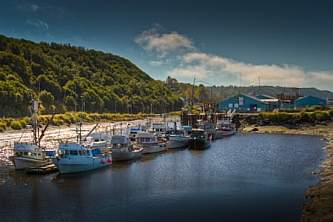
Head north from the city for Denali National Park and Mt. Denali—North America’s tallest peak—as well as charming small towns like Talkeetna. A short drive south lies the Kenai Peninsula, dubbed Alaska's Playground for its trails, wildlife, small towns, and nonstop scenery.
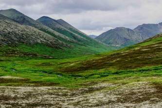
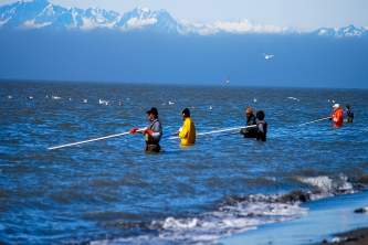
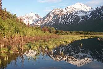
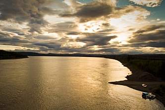
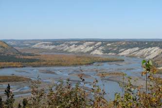
No matter how you travel, you will see rolling tundra, river valleys, ocean fjords, glacial lakes and rivers, as well as wildlife like moose, bears, Dall sheep, and bald eagles.
Most Visited
Off the Beaten Path
Sample Itineraries