Mat-Su Valley Points of Interest
Show Map
Points of Interest
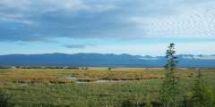
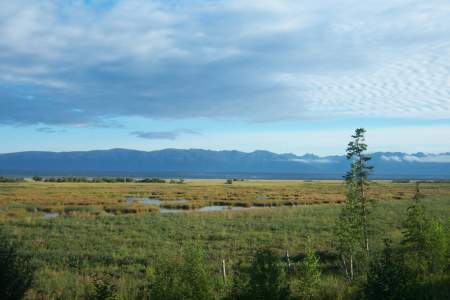
Visible outside the windows of the Mat-Su Convention and Visitors Bureau, this state wildlife refuge is the result of the 1964 earthquake. Literally overnight, the land dropped by 6 to 20 feet; hay fields and pastureland became salt flats and marshland. Once home to cows and grains, the land is now prime habitat for moose, birds, and fish. Some 20,000 acres are protected in the refuge, which is a popular recreation and wildlife-viewing… ...more
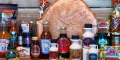
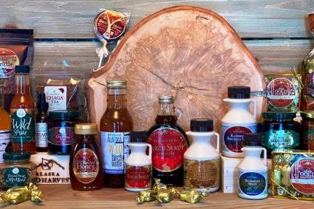
Sample delicious syrup and sweets made from birch trees at Kahiltna Birchworks in Talkeetna — the world’s largest producer of birch syrup. Stop in to shop, or for a tour of the facility at mile 1.1 of the Talkeetna Spur Rd, just off the Parks Highway. You’ll also find Alaskan food products (many wild harvested), botanicals, and functional art like pottery, tiles, birch bark and wood crafts. Products are also available online.
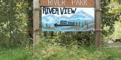
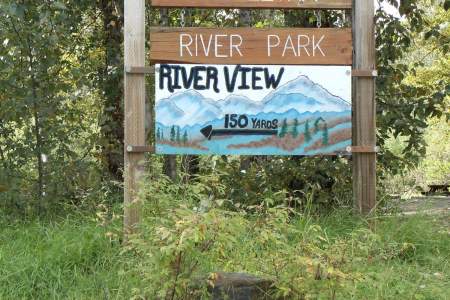
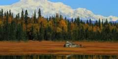
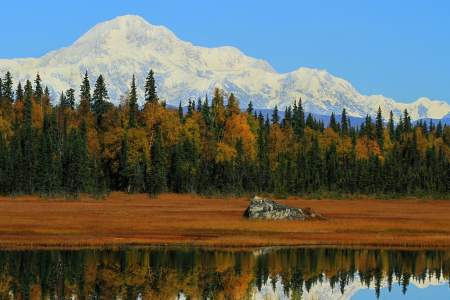
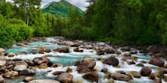
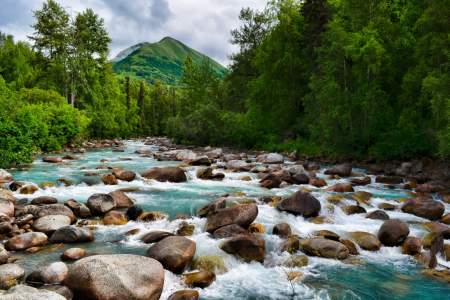
Where else can you walk to the end of Main Street and find yourself at the confluence of three wild rivers, overlooking a 20,000-foot peak? Close to downtown, this large, river-centered park offers wide open, untouched spaces, along with great panoramic view of the Alaska Range.
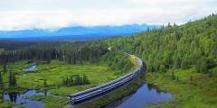
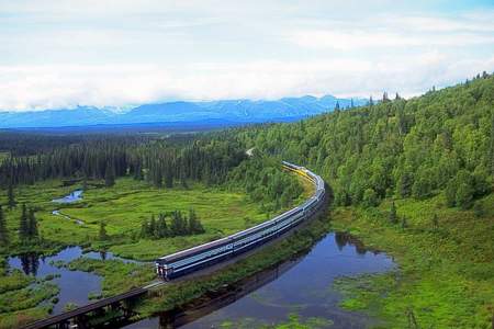
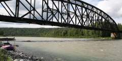
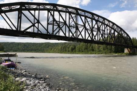
In Summer (May — September), The Denali Star Train services Anchorage, Wasilla, Talkeetna, Denali and Fairbanks. In Winter (October — April) the Aurora Winter Train operates as a flag top train between Anchorage and Fairbanks. It stops here heading North on Saturday, and South on Sunday.
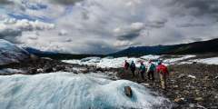
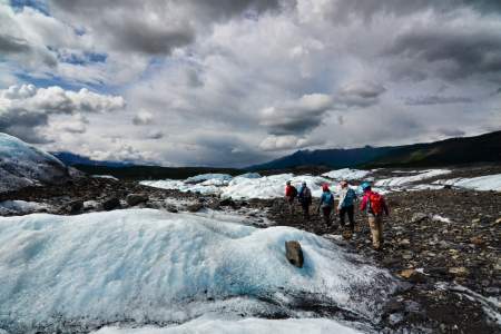
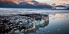
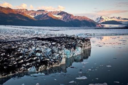
Some 15,000 years ago, this glacier reached another 50 miles west to the Palmer area. It now has a four-mile wide towering face that you can walk right up to and touch. Keep an eye out for summertime ice-climbers at this most impressive roadside glacier. Directions: Head north from Anchorage on the Glenn Highway. At mile 102, you can drive down to Glacier Park (888−253−4480), then hike 15 – 20 minutes to the face of glacier.Distance: 102 miles ...more
In the Talkeetna Mountains between the towns of Willow and Palmer, Hatcher Pass is a local favorite for recreation or a scenic drive. Hike in alpine tundra dotted with wildflowers and ptarmigan, ski fresh, deep powder, or visit Independence Mine Historical State Park.