Guide to Hatcher Pass, Alaska & Scenic Drive
A flyover of Hatcher Pass Road in late May
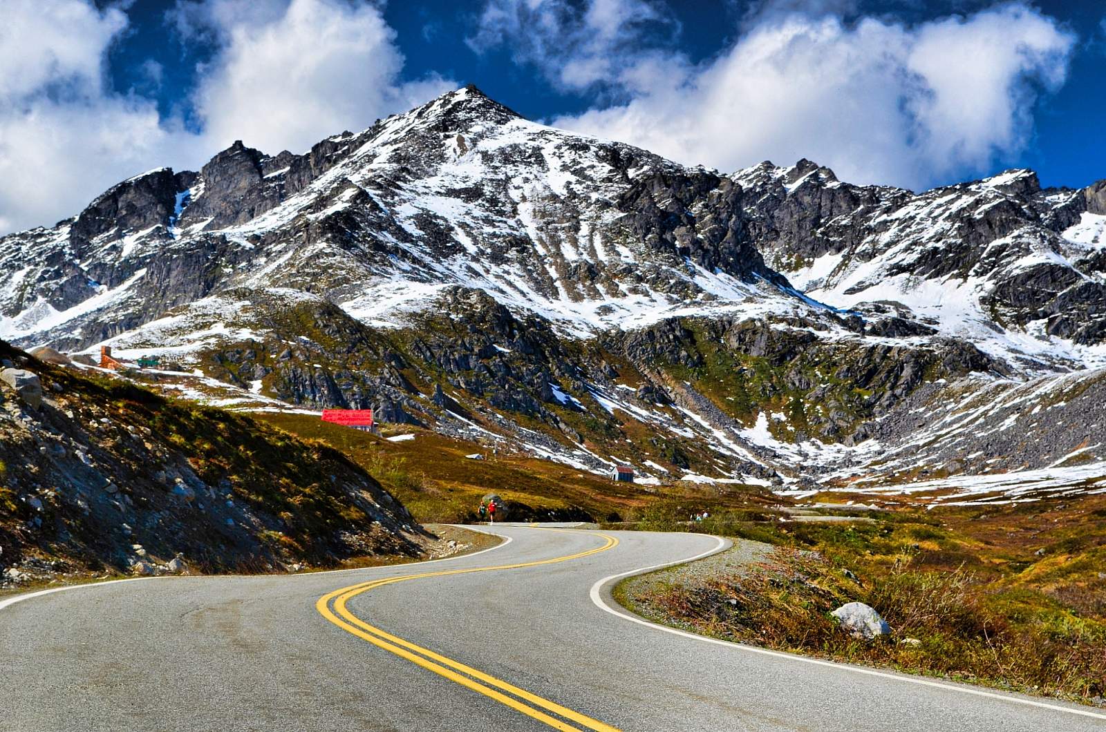
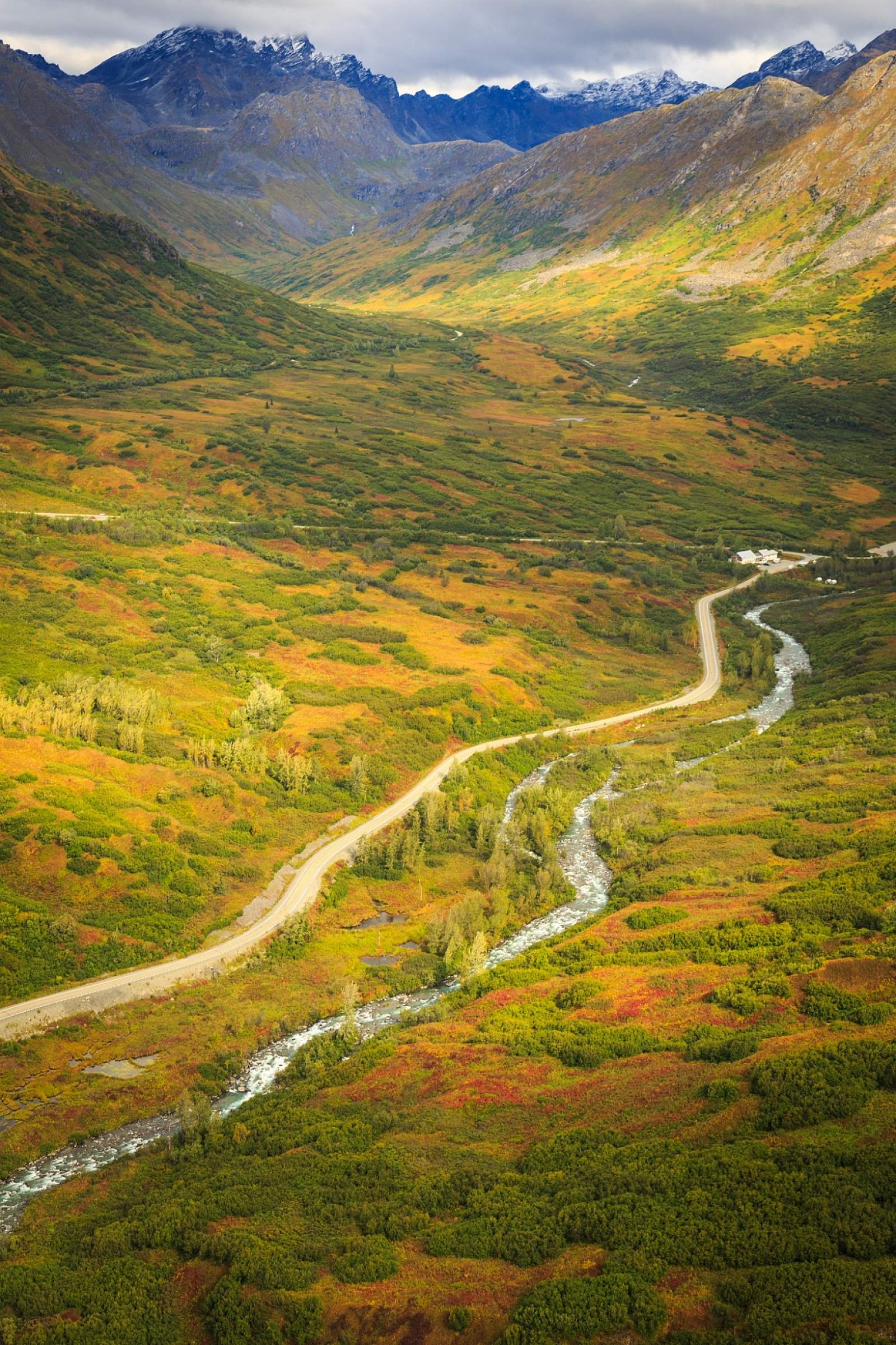
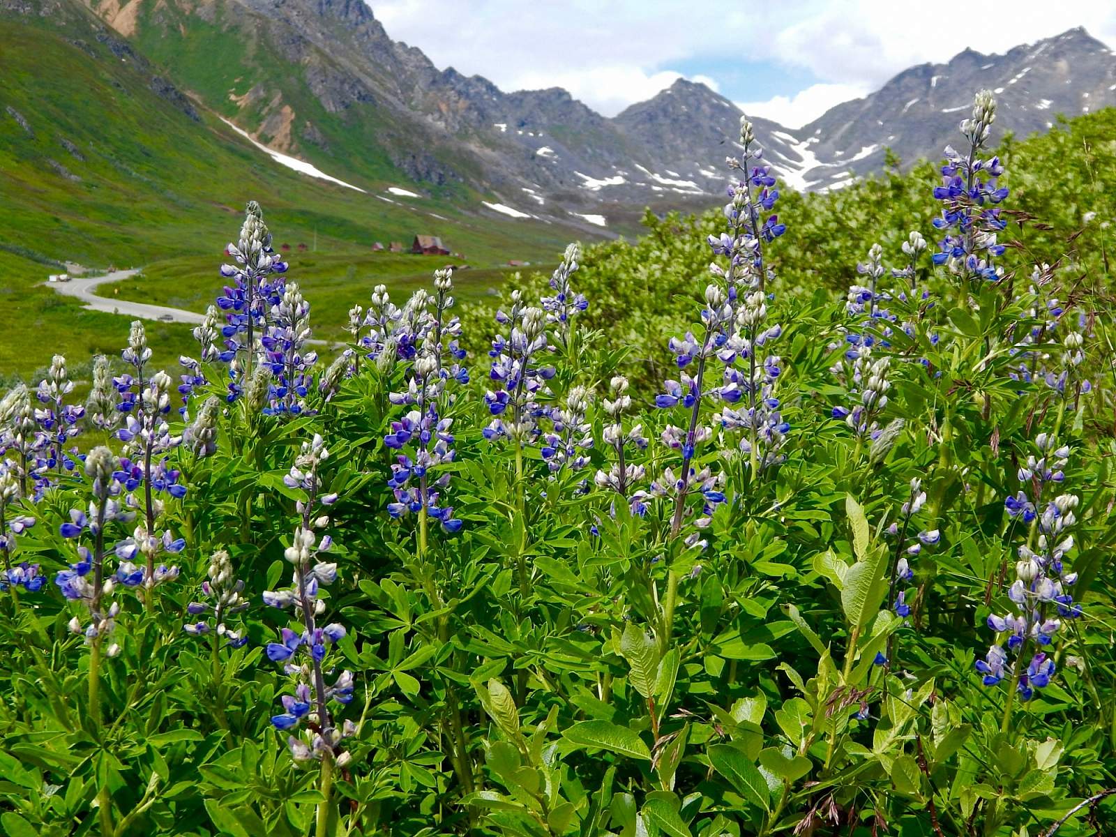
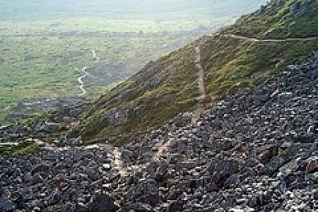
Hatcher Pass Scenic Drive (1:30)Set in the Talkeetna Mountains, between the towns of Willow and Palmer, Hatcher Pass is a favorite local hot spot for recreation or a scenic drive. Hike in alpine tundra dotted with wildflowers and ptarmigan; ski fresh, deep powder; or visit Independence Mine Historical State Park. And it’s all just a 90-minute drive from Anchorage. Follow the guide below for the best stops along this scenic road.
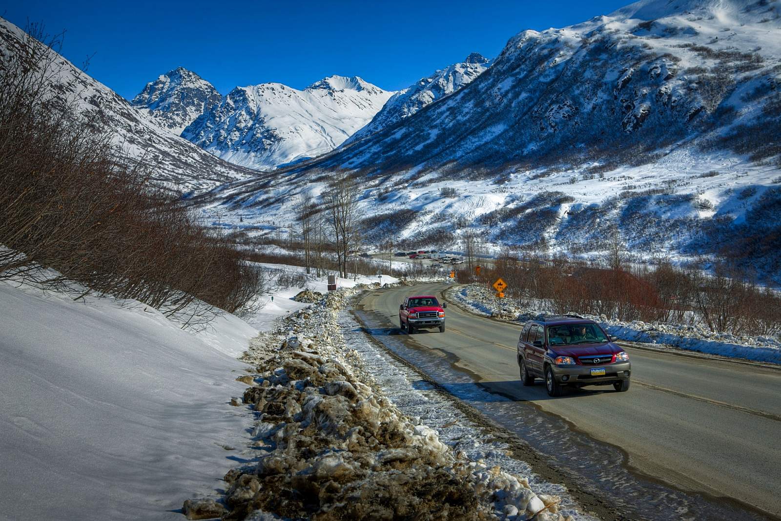
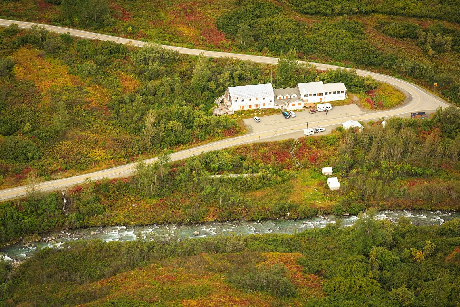
You can get here via Hatcher Pass Road (aka Fishhook Road), which winds through the mountains for roughly 60 miles between Palmer and Willow. Most visitors don’t drive the road all the way through. Instead, travel to the top of the pass and Independence Mine, where you can learn about gold mining in the area between 1938 and 1950. Join Salmon Berry Tours on a fascinating 45-minute walking tour that explores the historic mine buildings.
If you do not have a vehicle, AK Tripping offers private transportation with an experienced local driver for groups of up to 4 in a comfortable Toyota Highlander.
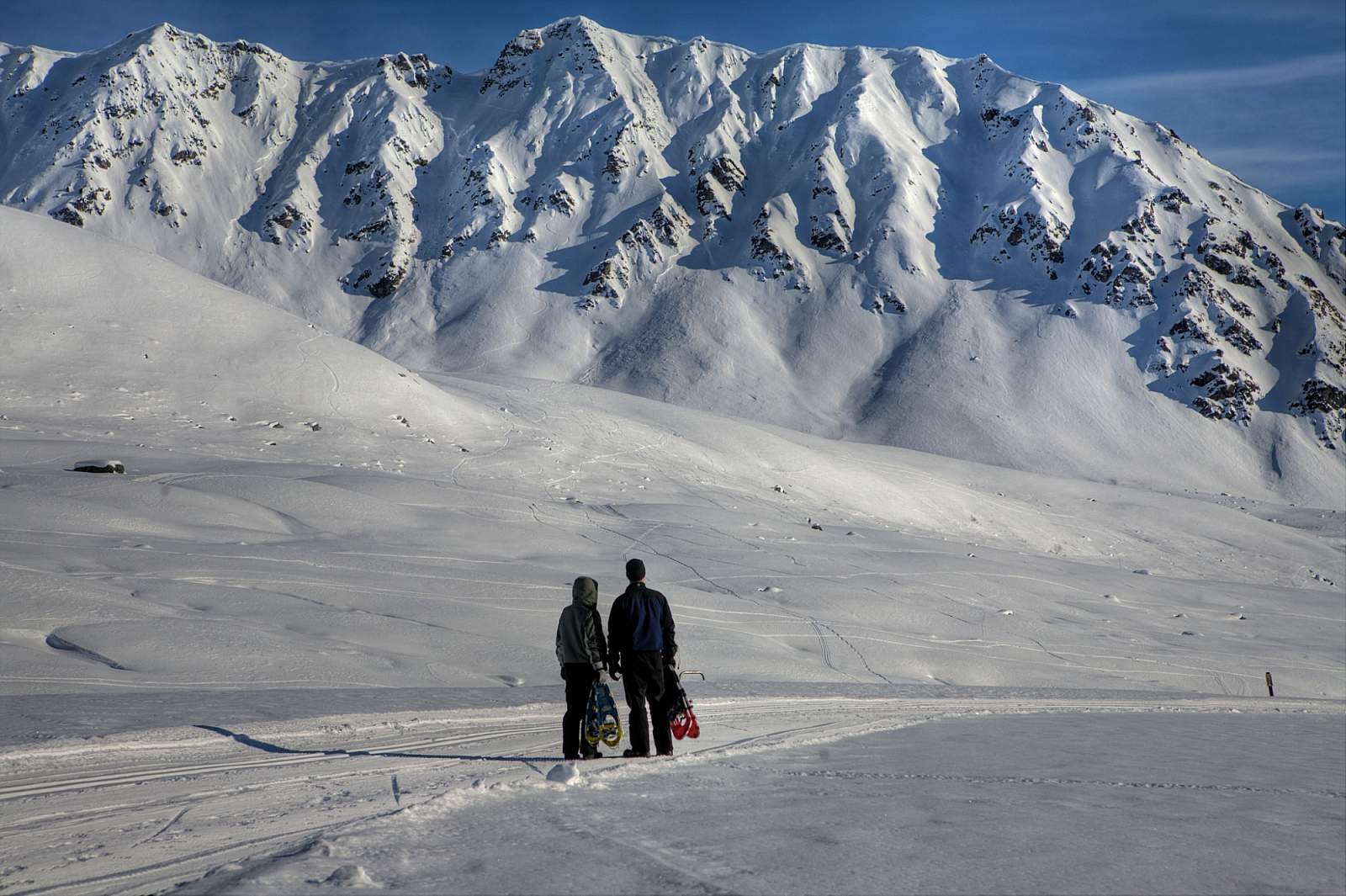
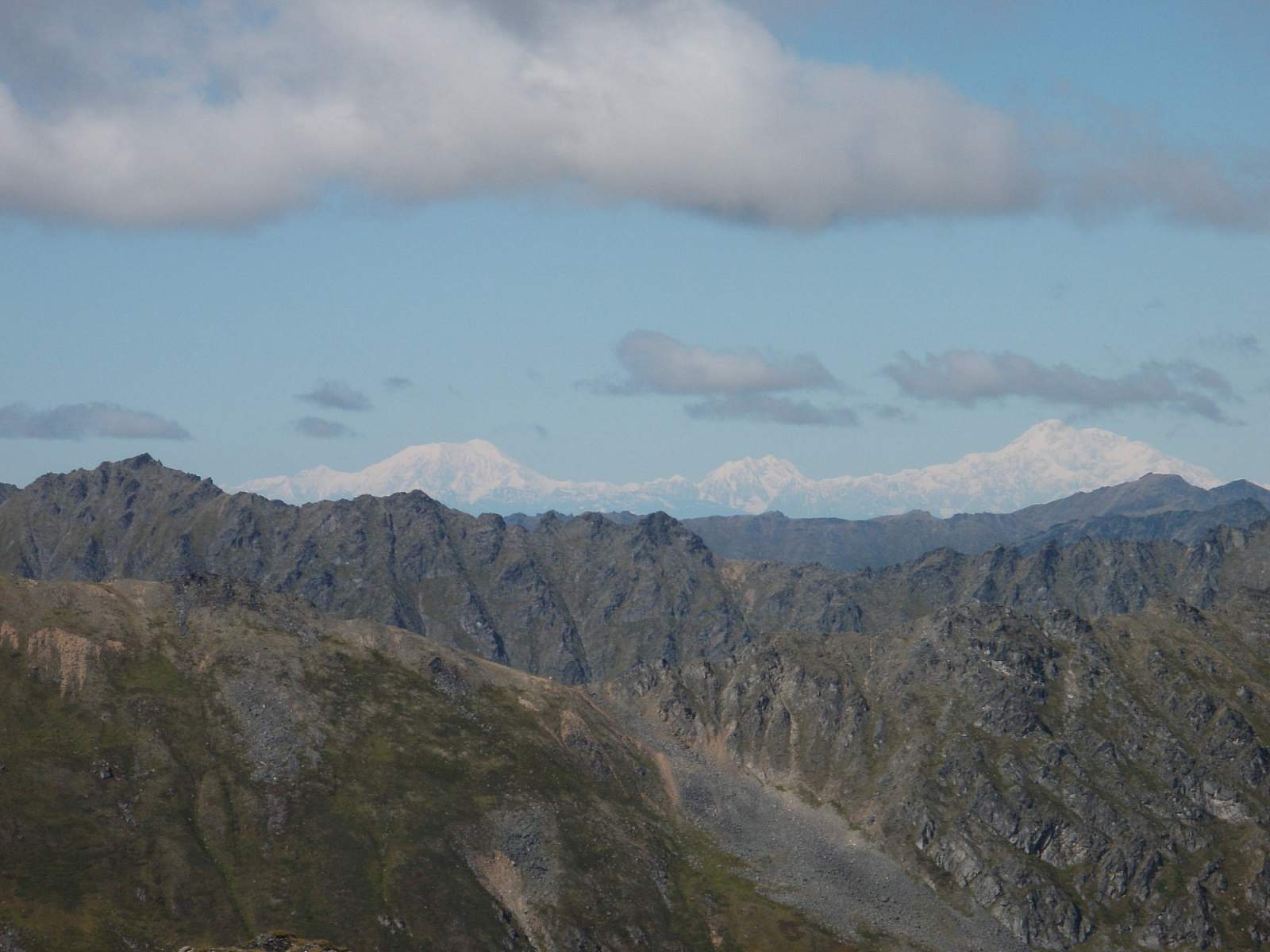
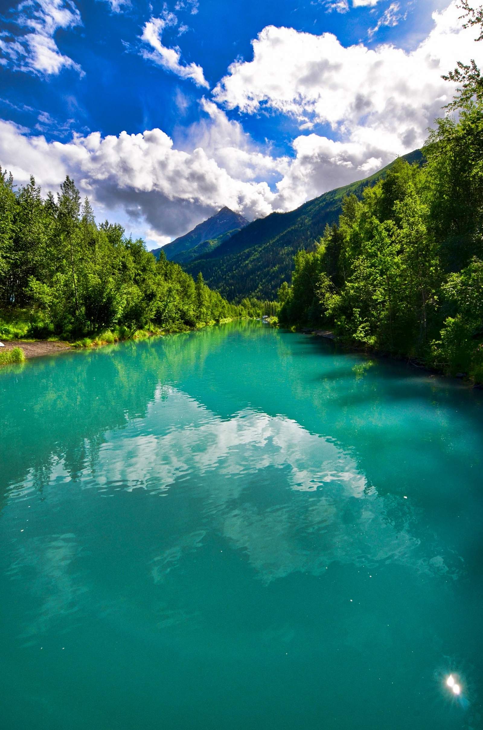
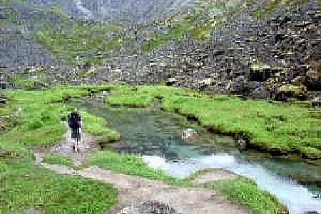
The area also provides access to fantastic hiking trails, and it’s the perfect place to enjoy a scenic picnic lunch at 4,000 feet. Look for paragliders launching off steep hillsides, and keep an eye out for whistling marmots, pikas, falcons, and golden eagles. In late summer, you’ll find terrific blueberry picking up here as well. And in good weather, you can see the Chugach Range, Alaska Range, and Palmer’s Pioneer Peak.
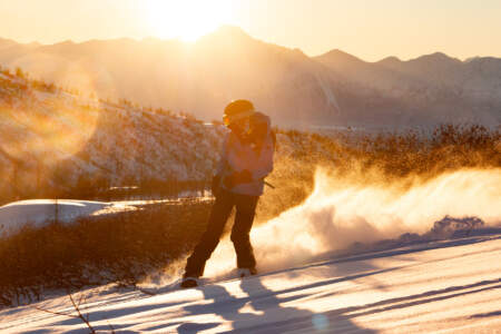
In winter, the state maintains the road to Independence Bowl, offering easy access to snowy mountains. The pass gets some of the earliest snow in the state, and the skiing is so good that it used to be the training grounds for the Junior Olympic ski team.
ATV Tours in Hatcher Pass
See the beautiful scenery of Hatcher Pass on an ATV! Tours depart from Willow.
Over the Pass
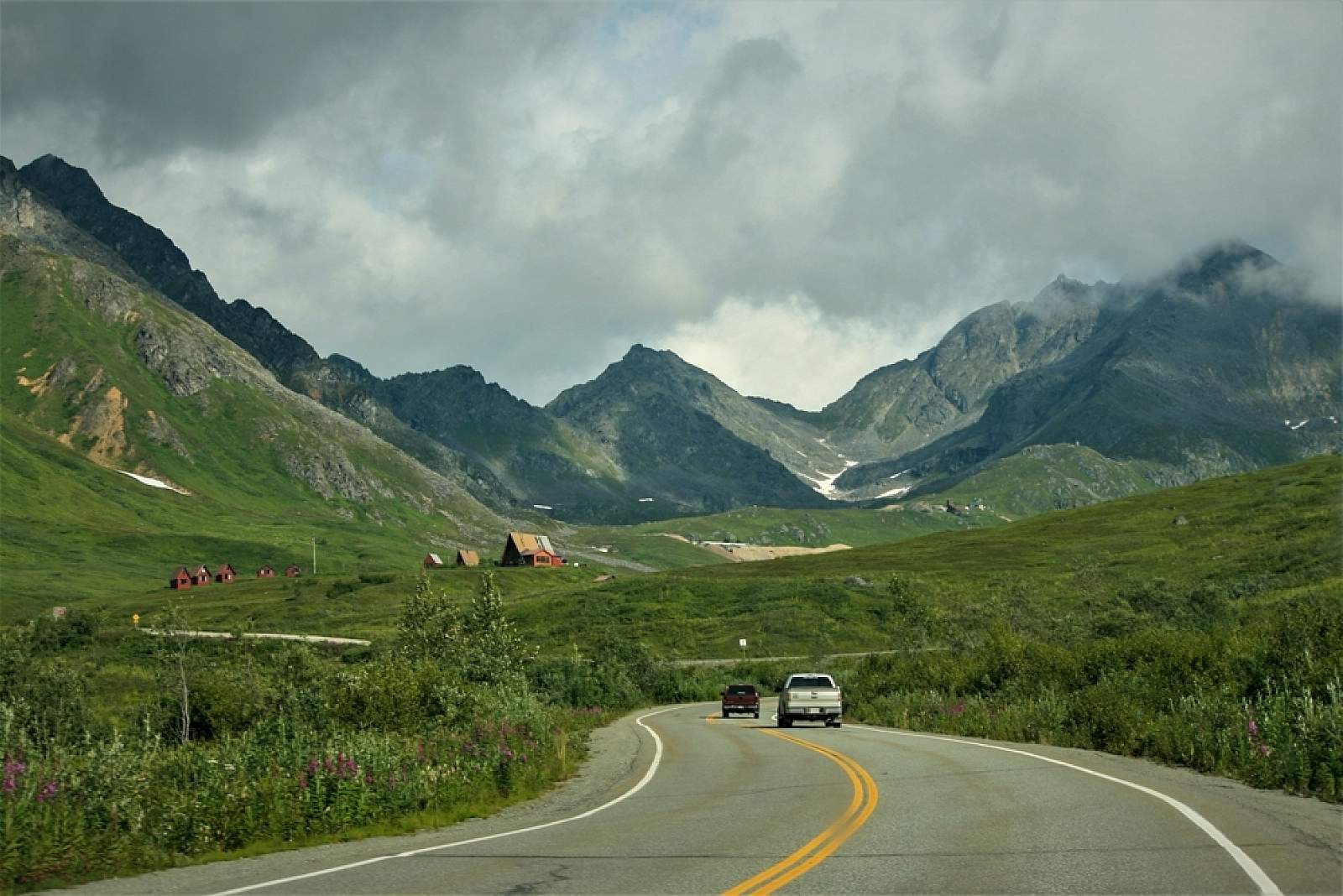
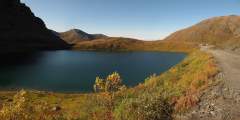
In summer months, usually around July 4th, the road opens over the pass, so travelers with high-clearance vehicles can travel all the way through to Willow. The road is gravel for 22 miles and can be rough with ruts—especially after big rains.

Photos

Show Map
Scenic Drive Points
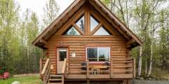
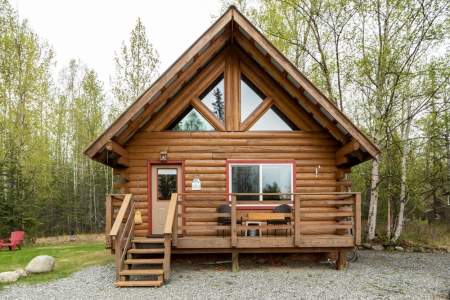
Enjoy your own private log cabin in the wilderness, with all the modern conveniences, just an hour north of Anchorage and minutes from Wasilla and Palmer. Nestled at the entrance to Hatcher Pass in the Talkeetna Mountains, your cozy log cabin makes an ideal base camp for all your Alaskan adventures!

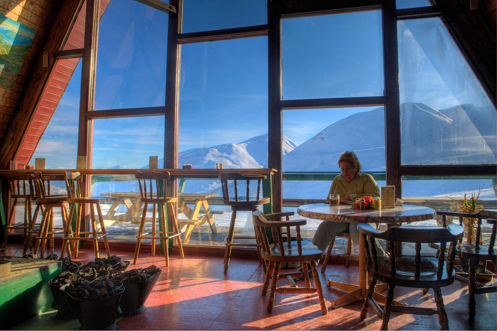
At the Government Peak Recreation area you will find an extensive trail system for nordic skiing, walking, hiking, fat tire biking, and mountain biking. The newest addition is a Chalet that is available to warm winter visitors. It’s also available for rent.
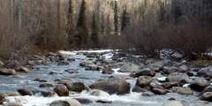
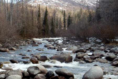
After following along the Little Susitna River on the Palmer Fishhook Road, you will see a pullout on the side of the road.
Government Peak Picnic Area, at Mile 11 of Hatcher Pass Road near Palmer, offers 8 wooded sites in Alaska’s Mat-Su Valley. Managed by the Mat-Su Borough, it features vault toilets, fire rings, and scenic views of spruce forests and alpine meadows. It’s a peaceful base for hiking Government Peak, exploring Hatcher Pass trails, or enjoying the mountain scenery close to Palmer’s amenities.
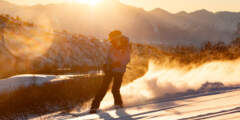
Skeetawk is derived from the Dena’ina word Shk’ituk’t, which means “where we slide down” — a perfect description for this community ski area set in the Talkeetna mountains, 90 minutes north of Anchorage and 25 minutes from downtown Palmer. Hatcher Pass has always been a place backcountry skiers flocked to, but Skeetawk makes the great terrain available to even more snowsports lovers.
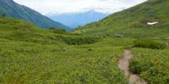
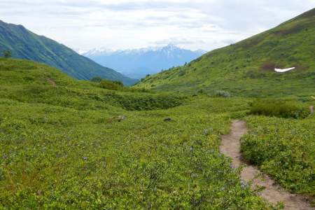
A straightforward trip with big scenery payoffs, like the picturesque Mint Hut and a valley dotted with hanging glaciers. This trip is a great first backpacking trip in Alaska with simple logistics. It’s 16 miles with options for additional miles and side trips.
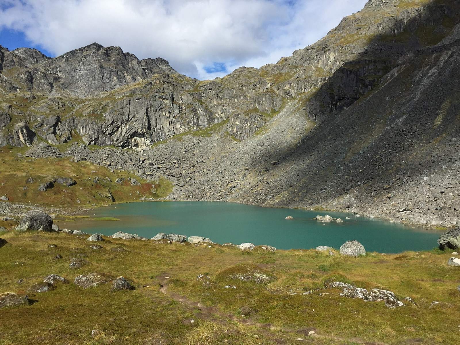
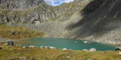
This is a popular, 4.3‑mile-long (8.6 round-trip) trail located 2 hours north of Anchorage in the Hatcher Pass area. It’s also gorgeous. At one point it climbs directly alongside a sheet of waterfalls falling from a wide granite ledge. As the trail winds its way to these falls, it passes the lake into which the falls drain. And after the falls, the trail ends at the tarn from which the falls drain. In other words, hike this trail and you’ll see a ...more
The Fishhook Trailhead parking lot is located at mile 16.5 of Hatcher Pass Road. This area is actively used year round. In the summer it’s a great area to hike and in late summer the slopes are abundant with blueberries. This trailhead also leads to Marmot Mountain, were paragliders launch from the top and land in the parking lot. In the winter, the area draws individuals to sled, ski and snowmachine. This trailhead intersects with The Hatcher ...more
Just past Archangel Road, you will see a pullout on the left. In the winter months, this is an extremely popular spot among backcountry skiers and snowboarders. However, this steep, unmaintained freestyle is not recommended for novices. During the summer months the trails are used for mountain biking.
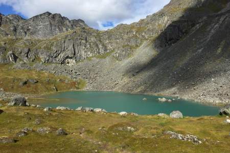
This 2 mile round trip hike begins right at the Summit Lake Recreation Area parking lot at the crest of Hatcher Pass.
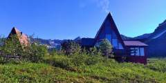
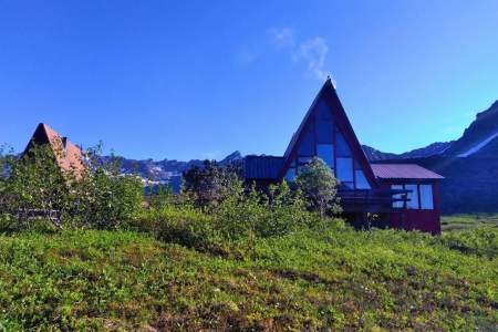
Iconic and remote Alaskan adventure lodge in the Talkeetna Mountains, accessible by road just 60 miles north of Anchorage. Open year-round, you’ll stay in rustic, comfortable cabins with access to some of the best hiking and skiing in the world, just outside your door. The lodge and cabins sit dramatically above treeline, offering breathtaking mountain views and endless adventure opportunities.
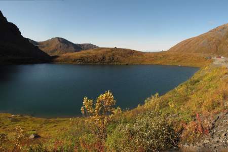
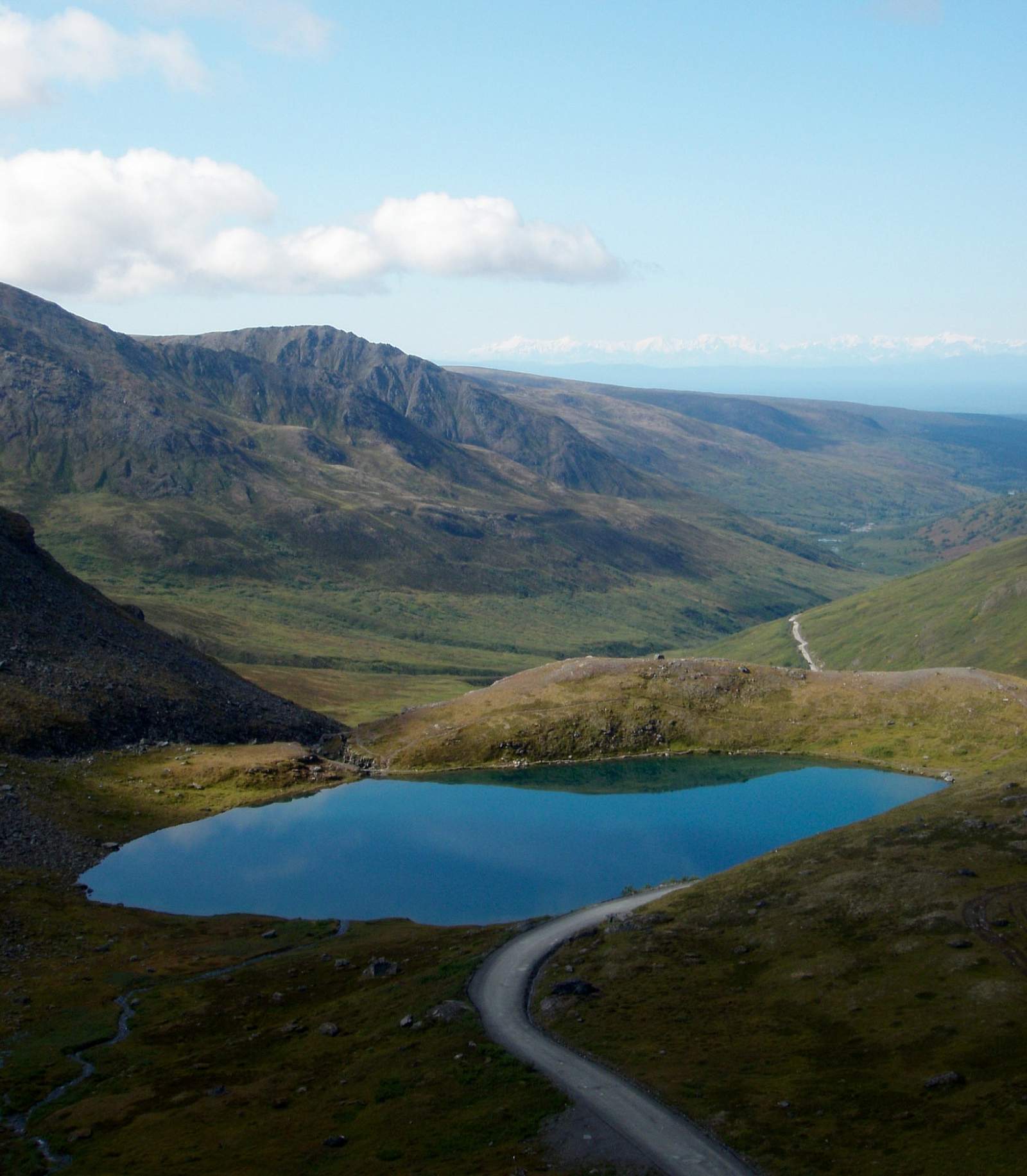
Summit Lake, located some 60 miles north of Anchorage at the crest of Hatcher Pass, offers a short, memorable lakeside ramble. Here you can explore the surrounding gullies and slopes or just sit and watch hang gliders drift out over the long Willow Creek Valley, which extends for miles from the west side of the pass.
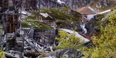
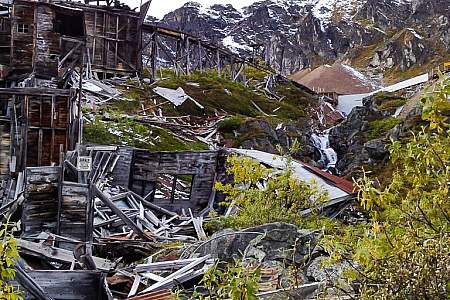
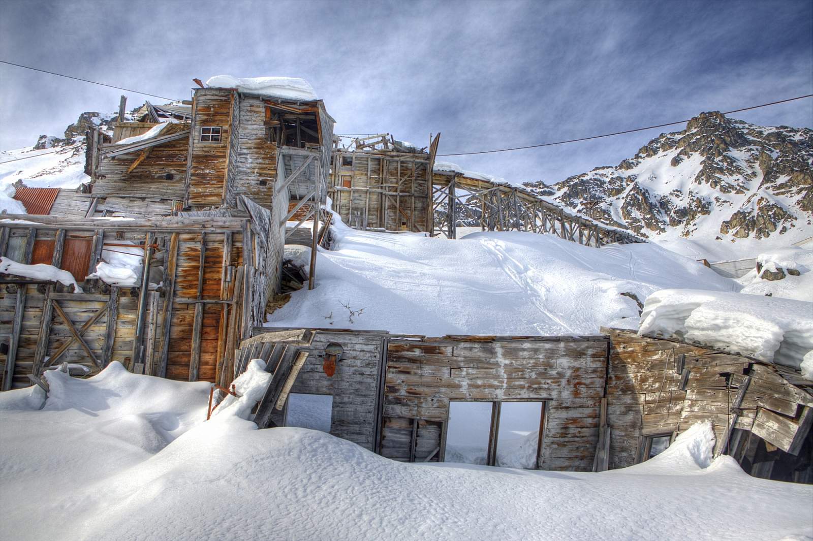
At its peak, the Independence hard-rock gold mine was home to 206 workers and 16 families who lived high above tree line. Digging and blasting, these workers recovered 140,000 ounces of gold before the mine shut down in the wake of World War II. There are 1.5 miles of paved walkways throughout the site, with informational placards for a self-guided tour.
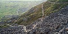
As you approach the Independence Mine Parking Lot, the trail can be seen to the far right end. It crosses over a small bridge, and winds up past an old abandoned mining cabin, and then up a debris field and finally to the lake. Round trip, the hike is almost 2 miles, and the elevation gain is approximately 600 feet. The trail can be muddy and wet for the first .25 miles, but it’s worth the hike to see Gold Cord Lake, and a great view of the Mine ...more