Talkeetna & Denali State Park Trails
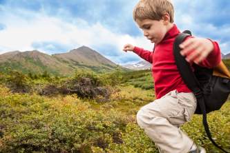
For exploration on foot, Talkeetna and the surrounding wilderness have something for everyone. You can take a short walk through the Historic District where you can shop, dine, or have a drink in buildings from the town's mining and railroad past. There are other short walks nearby, or take a guided or self-guided hike on Talkeetna's best trail at Talkeetna Lakes Park.
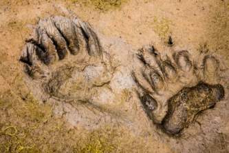
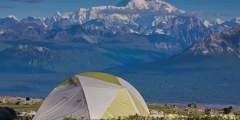
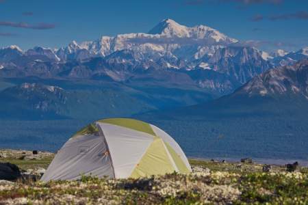
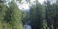
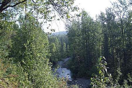
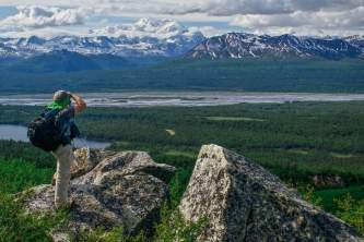
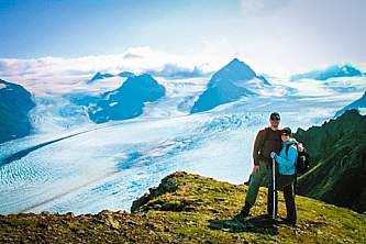
For more spectacular scenery, more wildlife, and a phenomenal trail system, head an hour north to Denali State Park for guided or self-guided hikes and walks. The South Denali area is best known for spectacular views of Denali, abundant wildlife, and the world’s northernmost boreal forest. The combination of rich soils, healthy salmon runs, and a mild climate make the South Denali area particularly lush and fertile. The woods overflow with wildflowers, berries, and oversized plants. Lowland trails take you along salmon streams where bears feed, crystal-clear lakes where loons and Trumpeter Swans nest, and mossy old-growth forest.
Take a walk along Byers Lake, or hike one of the four trails ascending Kesugi Ridge for panoramic views of the Alaska Range and the continent's highest peak, Denali (Mt. McKinley).
Before you hit the trails, stop by the Talkeetna Gear Shop. Their friendly, knowledgeable staff are happy to share local insight and adventure advic and they’ll even set you up with a free trail map to help you explore the area’s best routes and scenic spots.
Plan your journey with the Alaska Map
This state map includes top destinations and attractions, driving guides, & more!
Order the map
Denali State Park Trails
During periods of clear weather, this route through Denali State Park offers similar terrain and scenery to Denali National Park — including unparalleled views of Denali — without the cumbersome permitting process. This trail system offers many options for starting and ending points, as there are four trailheads along its length.

The Curry Ridge Trail is a newly constructed trail (2016) that departs from the Kesugi K’en Campground and climbs moderately (1100 ft in about 3.5 miles) up Curry Ridge. On a clear day, hikers are rewarded with stunning views of Mt. Denali in the distance.
This trail is the northernmost trail that provides access to Kesugi Ridge. On a clear day, Little Coal Creek Trail takes you to amazing views of Denali (Mt. McKinley). It also gives you those views in the shortest amount of time, about 1.5 hours, of any of the access trails to Kesugi Ridge.
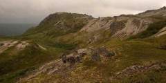
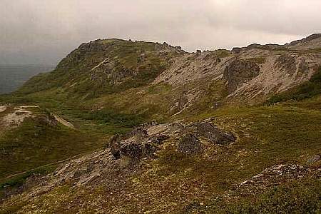
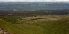
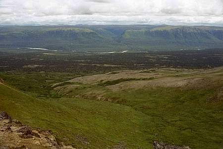
This is one of four trails that lead to the high Kesugi Ridge along the Parks Highway about an hour north of Talkeetna. The trail begins in a forested area and ends up above the tree line looking down on muliple drainages. The view at the top is wonderful, so bring a camera! It takes about 2 hours on average to get above treeline.
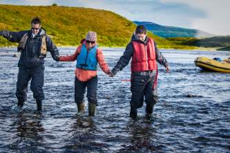
This is the southernmost trail that leads to Kesugi Ridge. On average, it takes a hiker 4 hours to get above the treeline. This trail is often closed due to flooding as well as bear activity for the safety of its hikers. Please check with Alaska’s Department of Natural Resources to make sure that the trail is open to hikers before starting this trip.
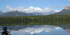
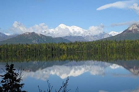
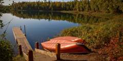
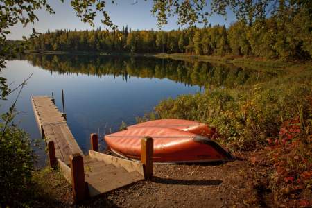
This is one of four trails that lead to Kesugi Ridge. From the Denali State Park campground at Byers Lake, this gentle stroll is the perfect way to spend a few hours. Wander through spruce and birch trees on the north side of the lake and enjoy big views of the Alaska Range and Denali (formerly Mt. McKinley) from the east side.
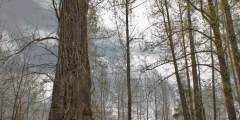
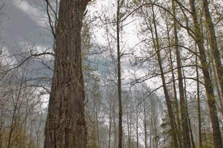
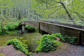
This trail follows Troublesome Creek .3 miles down to where it enters the broad, glacial gravel bar of the Chulitan River. Marvel at the Ent-like Grandaddy Cottonwood, just five minutes down the trail. The trail’s end has been swept away by floods, so it can be confusing, but the adventurous can keep going onto the Chulitna’s gravel bar to look for wildlife, tracks, or views of Denali. The large-leaved plants along the trail are Cow Parsnip and ...more
Talkeetna Trails
This recreation area is just a mile and a half from town, but it feels like wilderness — with deep woods and several lakes, it’s a great place to hike, run, canoe, fish, or look for wildlife. In winter, cross-country ski, walk, or fat bike on the multi-use trails.
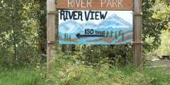
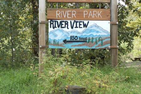
Where else can you walk to the end of Main Street and find yourself at the confluence of three wild rivers, overlooking a 20,000-foot peak? Close to downtown, this large, river-centered park offers wide open, untouched spaces, along with great panoramic view of the Alaska Range.
Year round, multiuse trails that form a loop between the town of Talkeetna, the Talkeetna River and the rolling hills that lie east of town
Get a real taste of Talkeetna by walking a full loop around town. Start by strolling along the Susitna River (downstream) until you come to the end of the village airstrip. Then walk up D Street, which will bring you right back to Main Street. It’s a popular route, so in the summer you may well see people camping, while in the winter people come here for snowshoeing, skiing, dog mushing, and snowmachining.
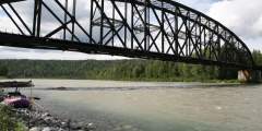
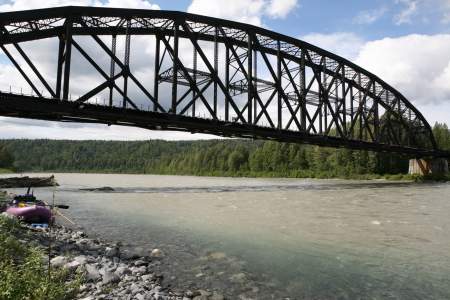
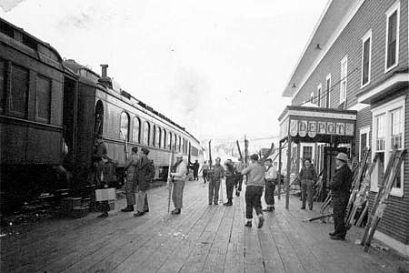
Stand on the beach at Talkeetna Riverfront Park and you may notice folks fishing on the point across the river. You can get there too. Start by walking up the Talkeetna river and crossing over the massive railroad bridge. Imagine yourself back in the 1920s; Talkeetna was the most populous city in Alaska, and the Railroad commission chose it to be the headquarters for building the rail line between Seward and Anchorage.

If you have some serious time and serious energy, take an adventure: hike the 20 miles out the Chase Trail to see what’s left of a luxury hotel built as a layover for the railroad journey between Seward and Fairbanks.
You’ll find even more playgrounds that take advantage of the unique assets of their locations. Here’s a list of our top picks!

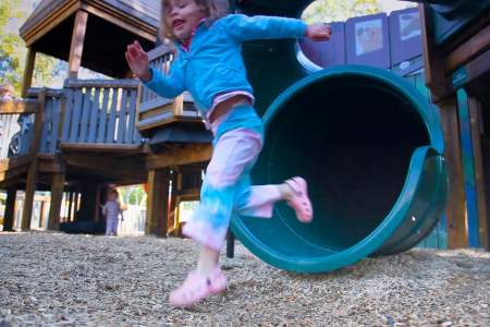
Talkeetna may have one of Alaska’s best adult playgrounds, as it hosts mountain climbers and adventurers from all over the world, but that doesn’t mean kids don’t fit in, too. A group of mothers got together in 2008 and built this playground, worthy of a frontier town. Constructed from rough-hewn timbers, the play area incorporates mazes, cabins, swings, slides, and even art from local children.
Before you get to town, you’ll get your first glimpse of Denali (Mt. McKinley). About 13 miles down the Talkeetna Spur Road just across from the entrance to the Talkeetna Alaskan Lodge, there’s a pull-out on the left. You’ll get great views with the Susitna River and foothills in the foreground. The peaks in the foreground are 3,000 – 4,000 feet high, roughly the vertical gain of most ski resorts in the American West. And behind them looms Denali, ...more
Explore Further
Expert Advice