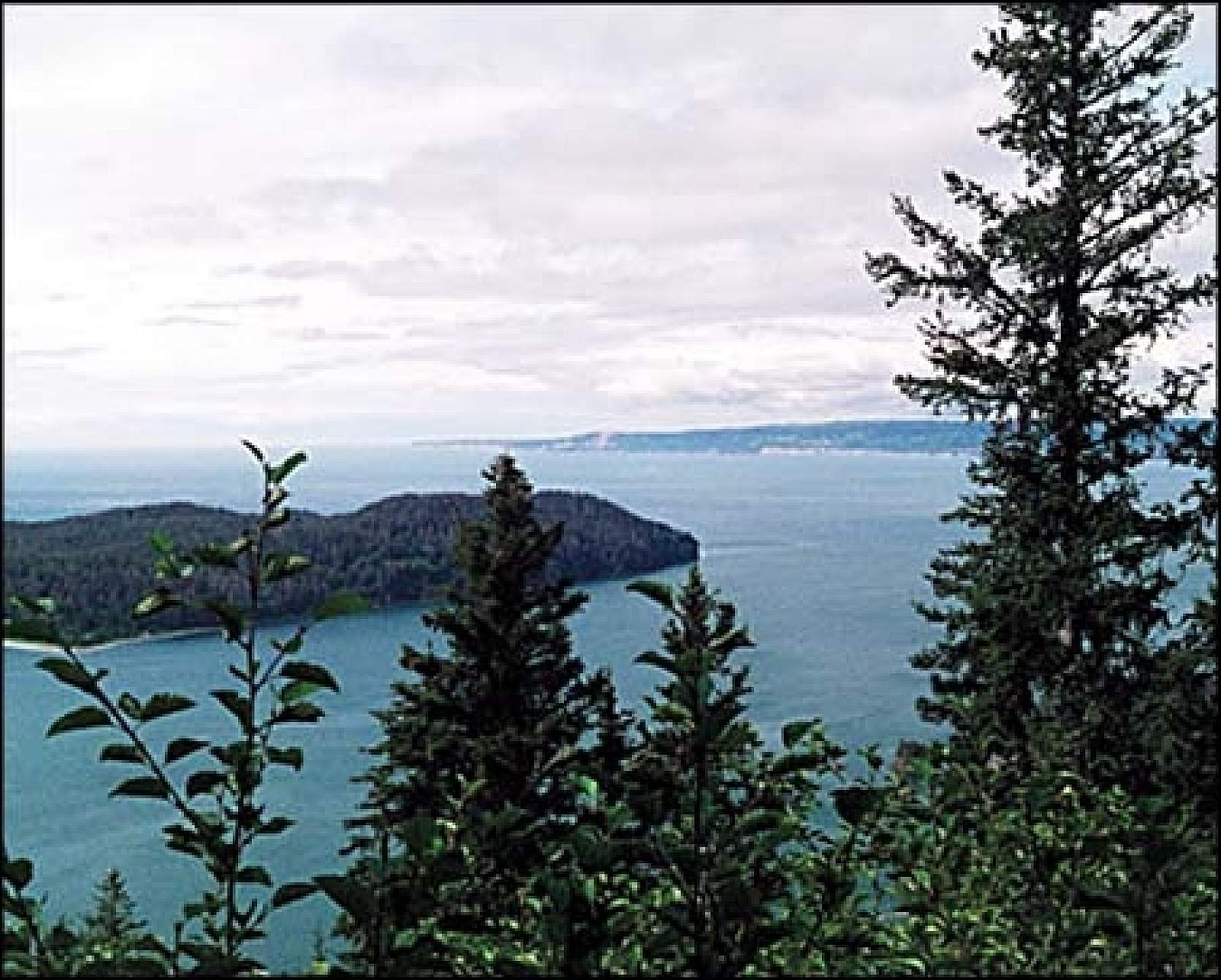
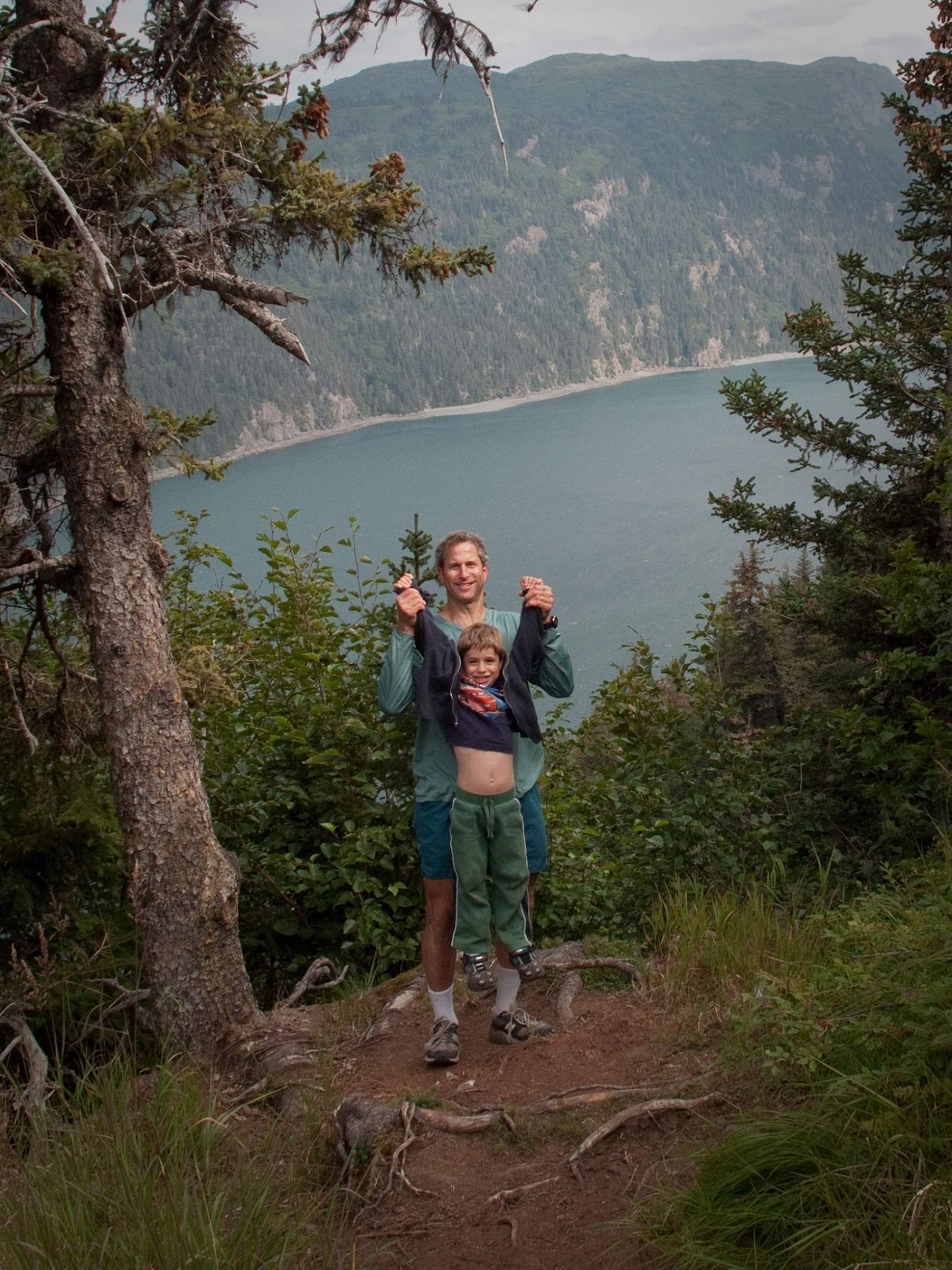
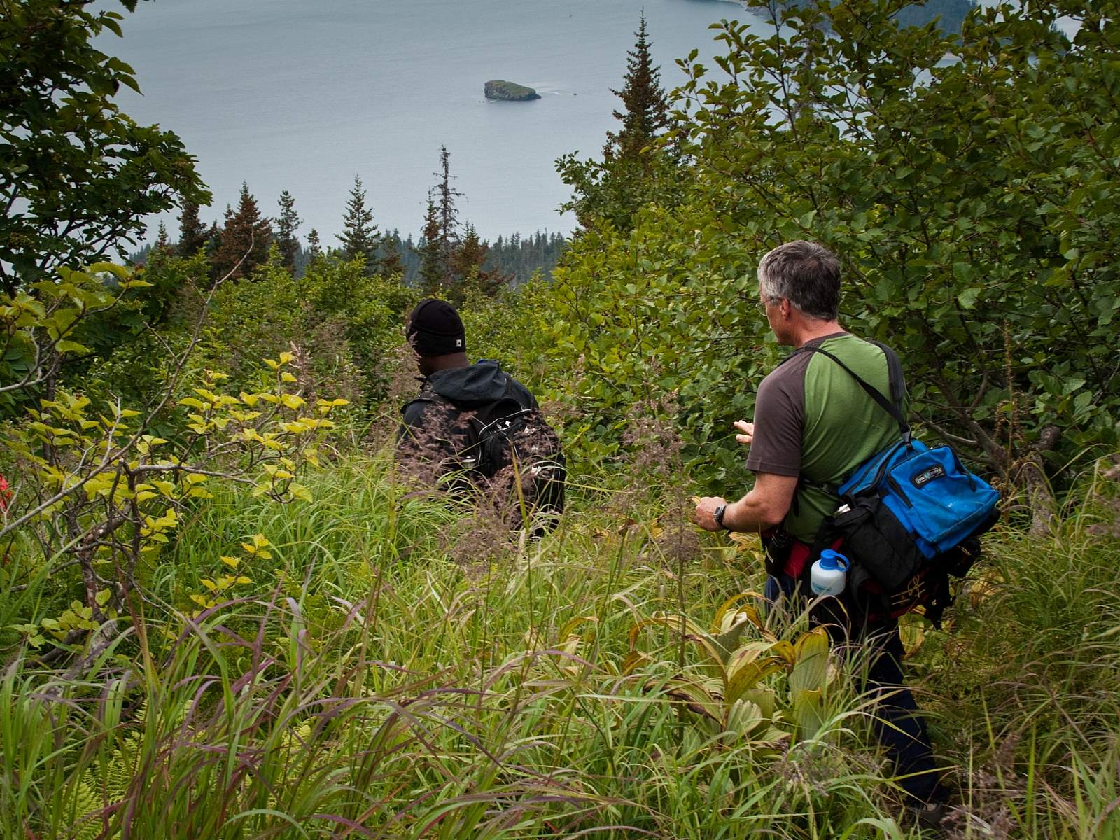
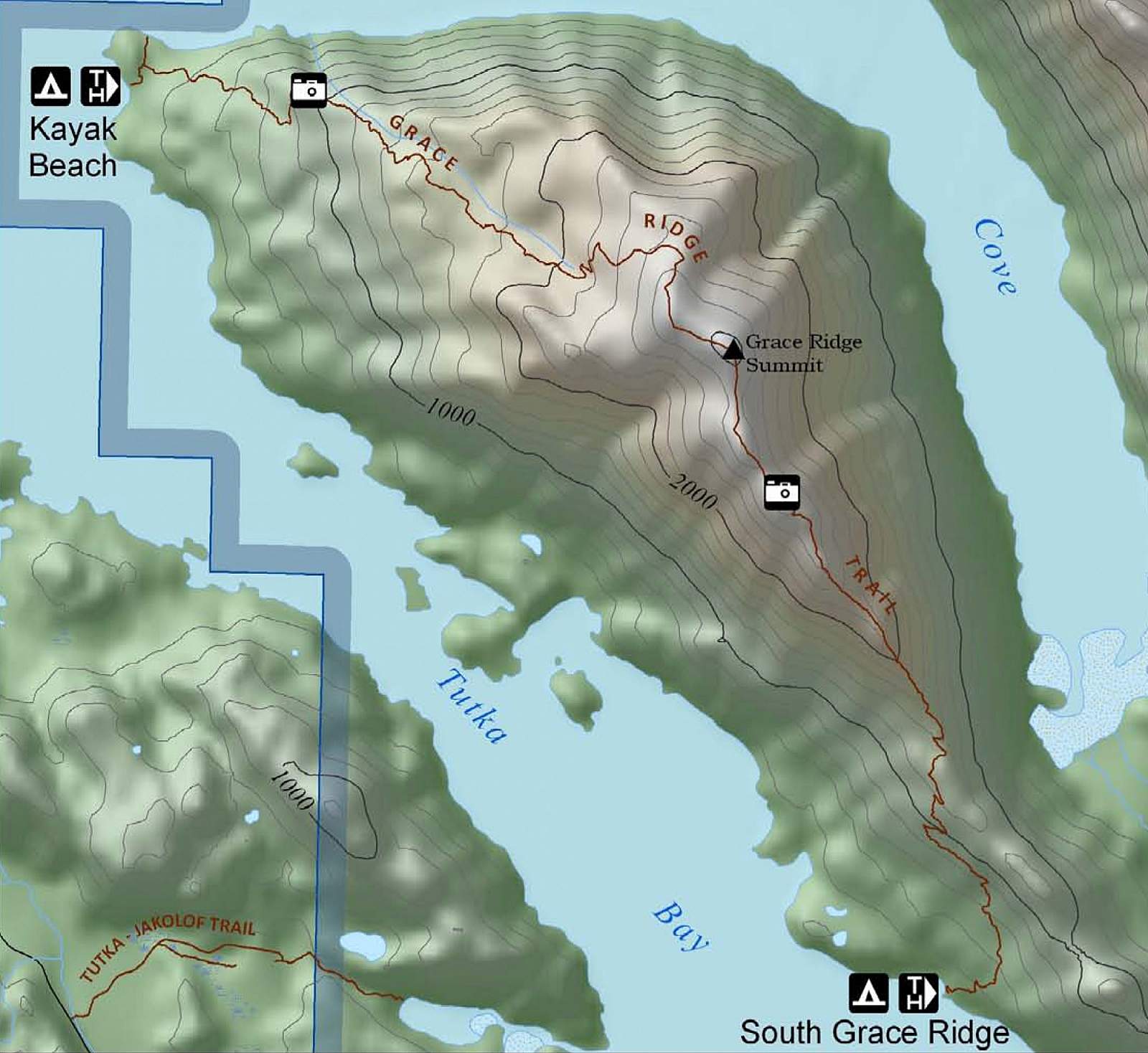
This popular trail begins at Kayak Beach Campsite, accessible by water taxi, between Tutka Bay and Sadie Cove. Head up through spruce and alders, and stop at the alpine knob at 1,745 feet for great photo opportunities of Eldred Passage, Sadie Peak, and Cook Inlet volcanoes. Watch for mountain goats, black bears, and golden and bald eagles. For a shorter out-and-back, turn around here, at mile 2.9. Or, continue on through the trees, cross a saddle, and climb the alpine ridgelines to the peak. On a clear day you can see Kachemak Bay and the Gulf of Alaska. The trail down the mountain isn't well-marked, but it's easy to follow the knife-edge of the ridge. This one-way hike puts you about 6 miles into Tutka Bay for pickup at South Grace trailhead.
Grace Ridge Trail North Access
Distance
8 miles
Elevation Gain
3145 ft.
Difficulty
Difficult

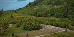
Photos

Show Map
Grace Ridge Trail North Access Points
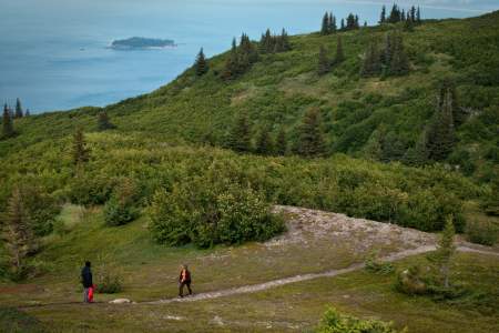
This popular trail begins at Kayak Beach Campsite, accessible by water taxi, between Tutka Bay and Sadie Cove. Head up through spruce and alders, and stop at the alpine knob at 1,745 feet for great photo opportunities of Eldred Passage, Sadie Peak, and Cook Inlet volcanoes. Watch for mountain goats, black bears, and golden and bald eagles.

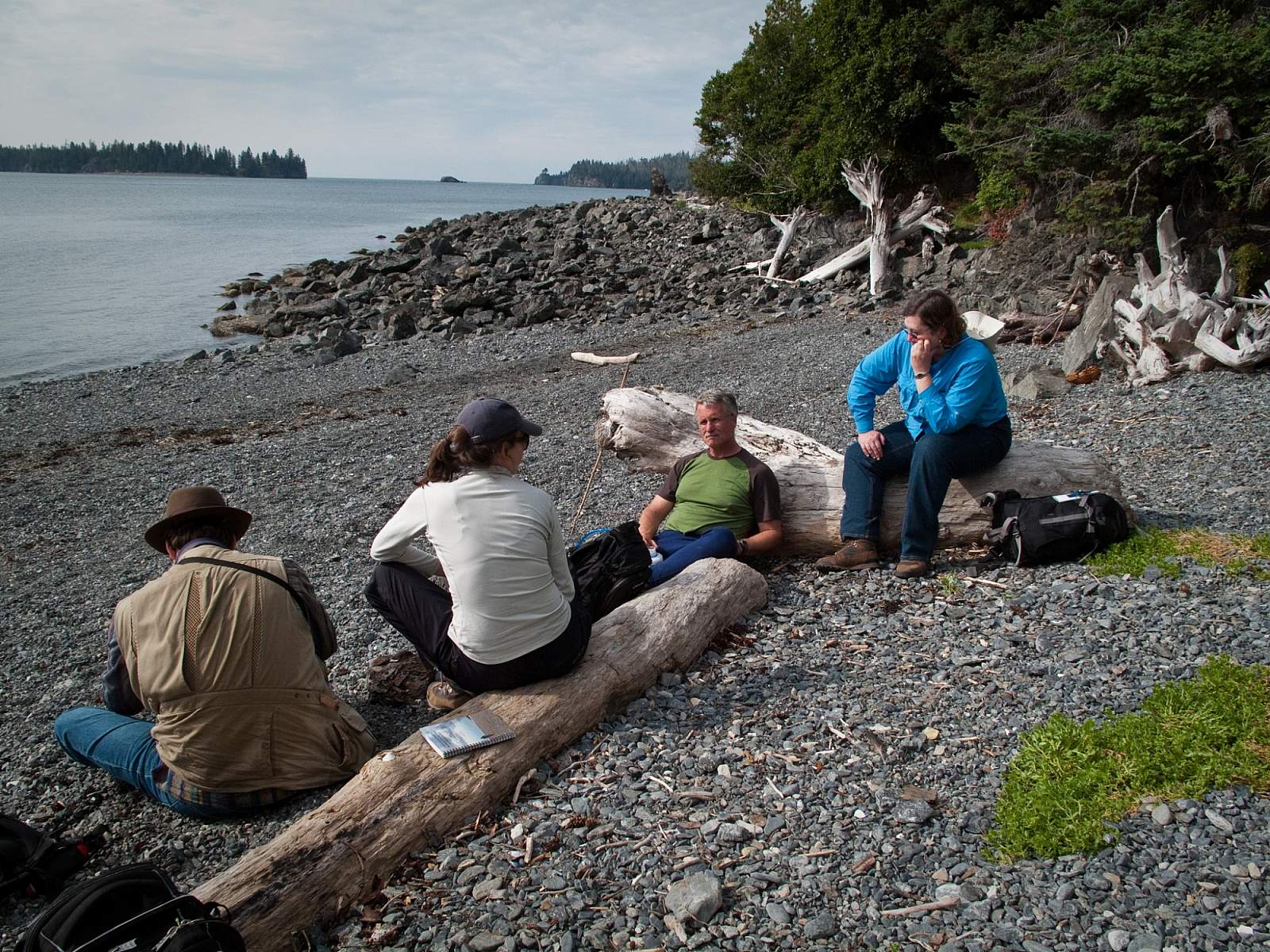
Access: Tutka Bay There are two trailheads for Grace Ridge. One is at the northern end of Tutka Bay at Kayak Beach. The second is located in the southern end of the bay about two thirds of the way down on the north shore. Some folks never hike the entire length of the trail, but rather hike from Kayak beach to the summit of Grace ridge, and back to the beach. This is a worthy hike, but if you can hike from north to south completely along… ...more