Seward and Kenai Fjords Parks & Trails
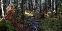
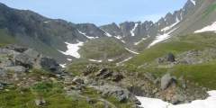
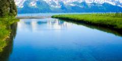
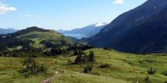
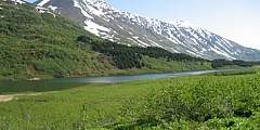
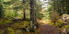
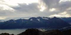
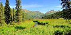
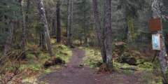
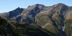
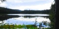
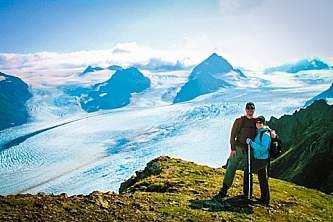
Bright blue glaciers, shimmering mountain lakes, braided streams, and lush forests yielding to alpine terrain are just a few of the sights you can expect to see on the hiking trails in Seward & Kenai Fjords.
In Seward, you will find trails for every activity level. Enjoy a casual stroll along the Seward waterfront to search for shells and enjoy the views. Or, if you're up for a challenge, hike the steep slopes Mt. Marathon, home to a famous footrace every 4th of July.
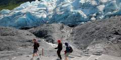
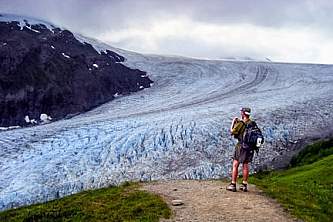
One of the most popular hikes in Seward leads to the face of Exit Glacier. Exit Glacier is the only part of Kenai Fjords National Park that is accessible by road, conveniently located just 10-15 minutes north of Seward. The trails are well-maintained and you can hike on your own, or opt to join a ranger for a guided walk.
Below is a list of some of the other great hikes in the Seward area.
If you're looking for a guided hike see our list of recommended hiking guides in Seward.
Show Map
Seward Hiking Trails
Your best bet for this trail is to go out on one low tide, spend the night — in either a forest service cabin or campsite — and then return the following day or several days later on another low tide. Great forest-to-beach hiking trail.
Every Fourth of July, racers scramble to the top and back in one of the state’s oldest traditions. But you don’t have to race to reach the top. Hikers can take a well-marked trail for a quieter, steadier climb. Whether you’re here for the race, the view, or just a good leg workout, Mount Marathon delivers.
The hike to Tonsina Creek, a scenic 3 mile trail that takes about 1 hour in each direction, is a local favorite. Locals and visitors alike walk out to the creek itself, and some continue on to Caines Head State Park.
You can hike right up to Seward’s Exit Glacier and feel the dense blue ice while listening to it crackle. Walk the lower trail to get a good photo in front of the glacier face. Or, choose the more challenging 7‑mile round-trip Harding Icefield Trail. There is a short ranger-led walk daily at 11am and 3pm, from Memorial Day through Labor Day.
This trail is also called the Primrose trail at the north end. It begins in a beautiful rainforest and eventually takes you up to a multiple of beautiful lakes in high meadows. Anglers can fish for rainbow trout in the lake.
Known to locals as the Divide Ski Area, this trail was built by dedicated community volunteers from the Seward Nordic Ski Club.
This trail extends from the Caine’s Head North Beach through rainforests and alpine meadows to several linked beaches that are great for picnicing and beach combing.
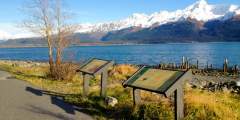
Seward Waterfront Park extends from the small boat harbor to the SeaLife Center and contains paid tent and RV camping, playgrounds, a skate park, picnicing areas, beach access, and a trail lined with historical landmarks.
Easily accessible and not very difficult
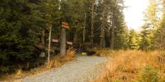
Access the park from behind the State of Alaska Seward Job Center complex. Walking trails link two small lakes through the old growth trees.
This steep hike is a bit of a challenge, but it pays off. The trail winds through a spruce and hemlock forest into the sub-alpine and alpine zones, with breathtaking panoramic views of Resurrection Bay and Seward. Be sure to bring a camera and plenty of water!
If you want a taste of dim spruce forest along a wild river bottom, try the first few miles of this mostly level route into the Resurrection River Valley. From the trailhead Mile 7 of Exit Glacier Road, the trail runs 4.5 miles to Martin Creek and is suitable for mountain biking or skiing after snowfall. It features two primitive campsites and occasional access or views of to the river.
The trail begins at mile 12.1 of the Seward Highway. Watch closely for the sign and pull into the off-highway parking area. The trail begins as the Iditarod Trail, and many improvements have been made to this section. The Troop Lake Trail branches off of this famous trail approximately 1 mile from the start, reaching the lake about a half mile later.
This trail is a spur off of the main trail that connects the North and South Beach trails in Caines Head State Recreation area. This is a really good hike for the whole family with gorgeous views of the surrounding mountains. Also, because it is part of a trail system, this makes for an excellent day trip. There are many trails to hike and opportunities to get some great pictures!
These popular trails lead to two beautiful, pristine lakes. Even better, they’re both easy hikes, which makes them perfect for people of all ages. Bring a fishing pole and angle for stocked trout in Meridian Lake or grayling in Grayling Lake.

