Difficulty: Moderate
Distance: 3 miles
Elevation Gain: 500-1500ft
Type: Out-and-Back
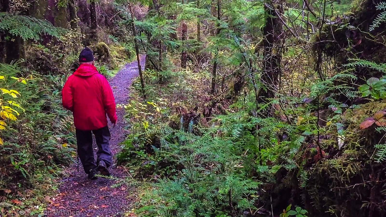
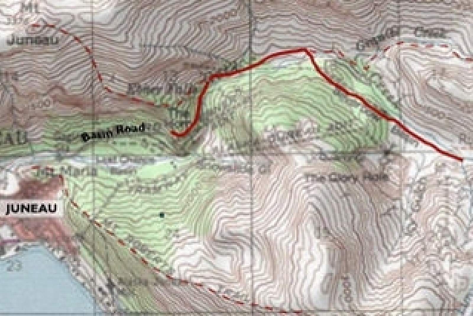
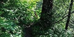
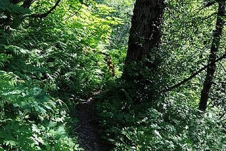
The path to the Perseverance trailhead, Basin Road, showcases a dramatic change from urban to wilderness, leading from downtown Juneau to a spectacular canyon. At the end of it is where Perseverance Trail begins, and this former rail line (named for the mine it once serviced) quickly climbs up above the Gold Creek valley. There’s plenty to see along the way, including old mine shafts that blow cool winds, and a stretch of trail where the mountain drops steeply away to Gold Creek. Then, on the left, you’ll see the turnoff for the summit of Mount Juneau, a strenuous 1.5-mile climb, as well as the turnoff for a short hike to the top of thundering Ebner Falls. The falls are a great spot to grab a snack, but watch your footing when exploring the area. If you choose to skip the steep climbs and continue on the main trail, the terrain becomes much flatter, and you'll have gorgeous views of the ridgelines to your left and right. Salmonberry bushes line the trail and produce tasty berries in July; wildflowers are abundant throughout the summer. Watch for bears, but generally there’s little cause for concern, as there are plenty of other hikers on the trail.
A couple of side trails are worth exploring, including Granite Creek (2 miles in) which can bring you up to the ridge east of Mount Juneau’s summit. A broken bridge at the bottom of a falls marks the near-end of the trail. A few hundred yards more and you can sit on a wooden platform and look down on the valley you just hiked up. Soak it all in. You’re exploring Alaska.
Features: Kid Friendly, Running