Oolah Pass Backpack
Distance
65 miles
Difficulty
Difficult
Why Choose This Trip?
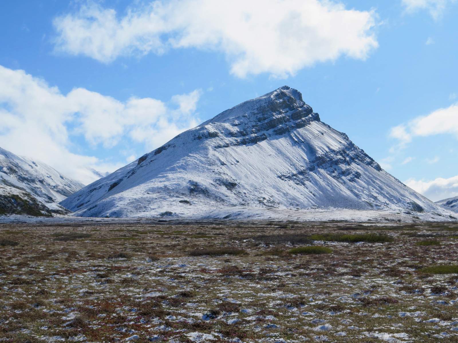
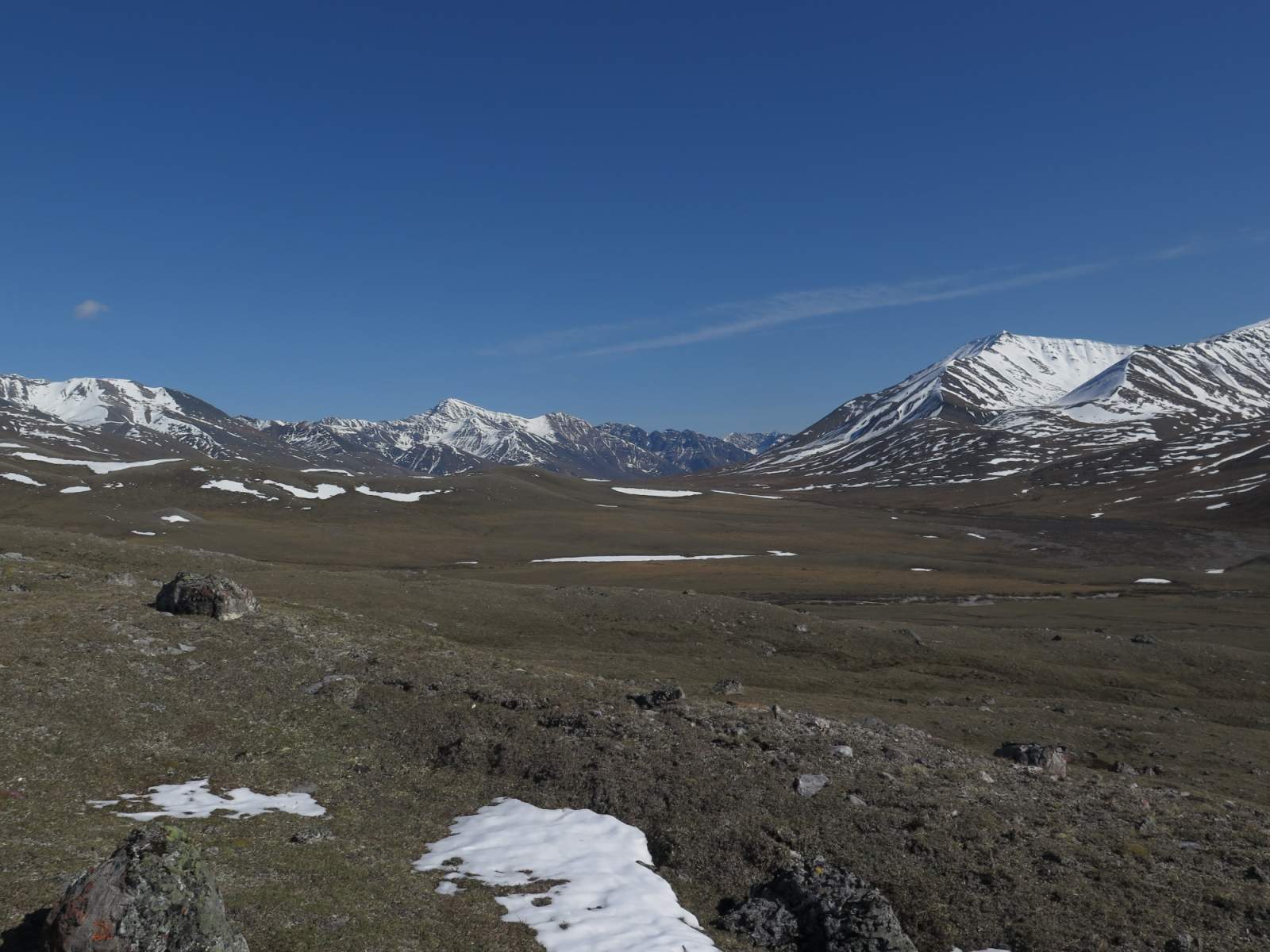
Find out why the Brooks Range is known to have the best off-trail hiking in Alaska!
Trip Type
Backpacking
Region
Northern Alaska
The Route
The route outlined here is the entire traverse from the village of Anaktuvuk Pass to Dalton Highway. An abbreviated route is possible if you charter a flight to Summit Lake and hike toward the Dalton Highway or back toward Anaktuvuk Pass.
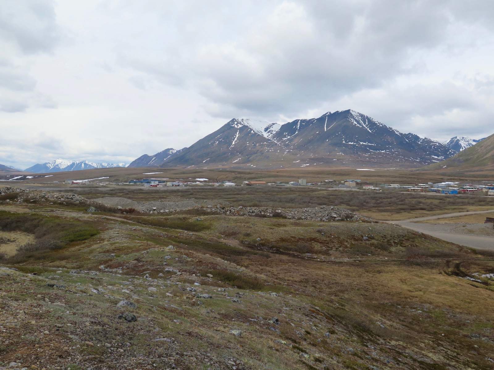
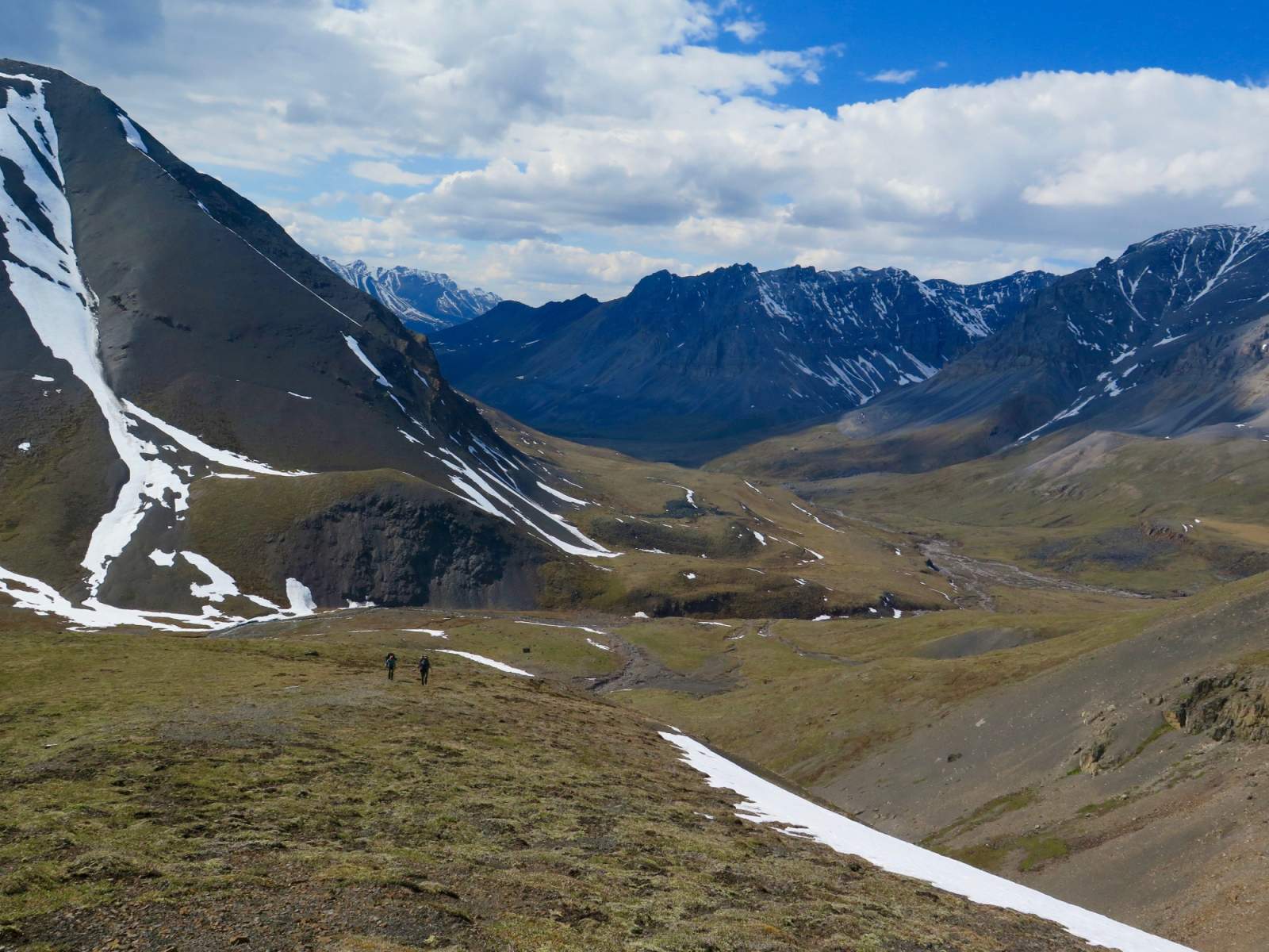
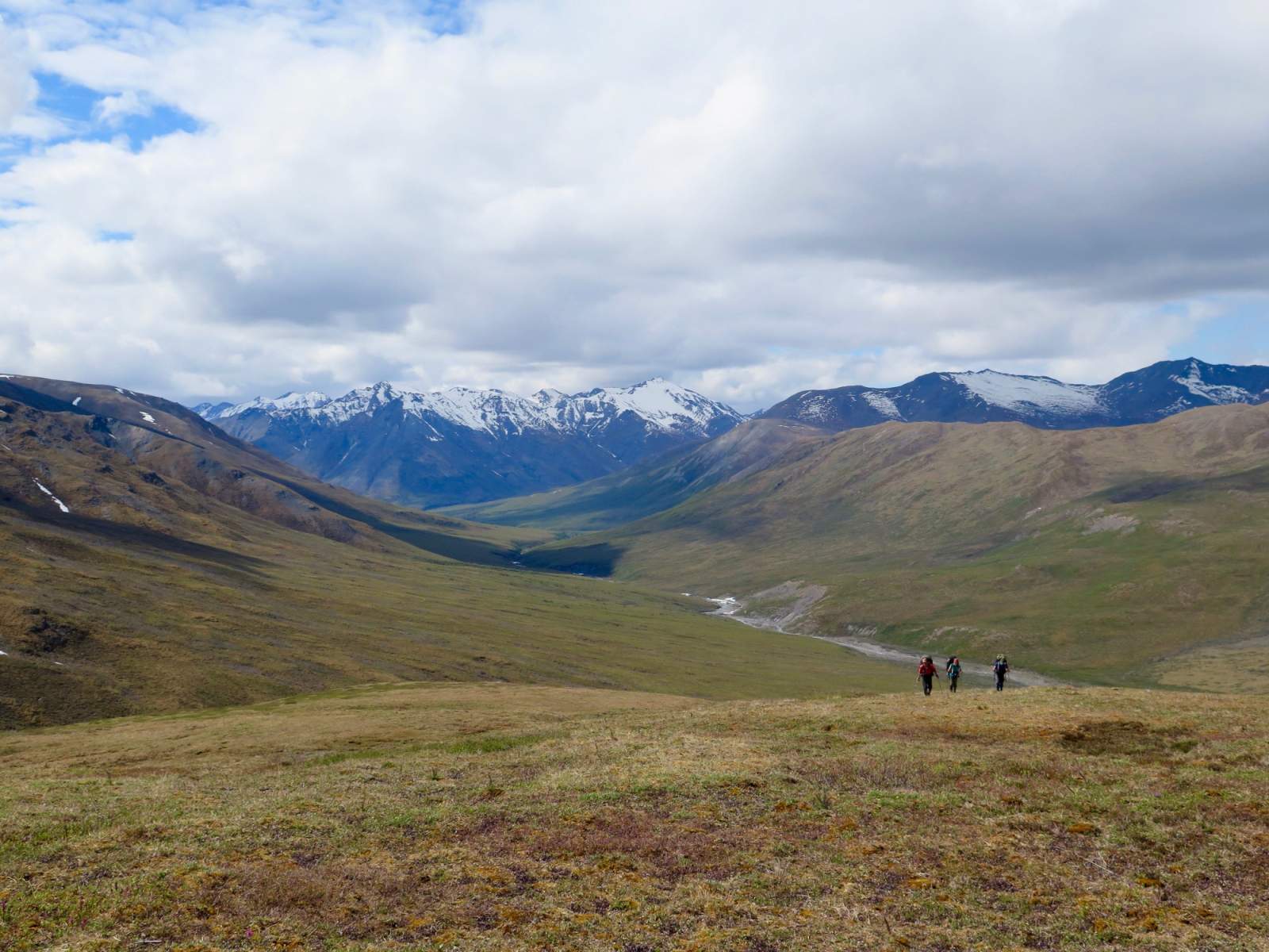
Depart Anaktuvuk Pass on the ATV trail leading north-northeast out of town. Head up the Anaktuvuk River Valley on the south side of the river. You'll proceed up the valley for more than 22 miles until you reach the broad, low-elevation Ernie Pass. There are many suitable campsites along the way. Descend the other side of Ernie Pass, staying on the north side of Ernie Creek.
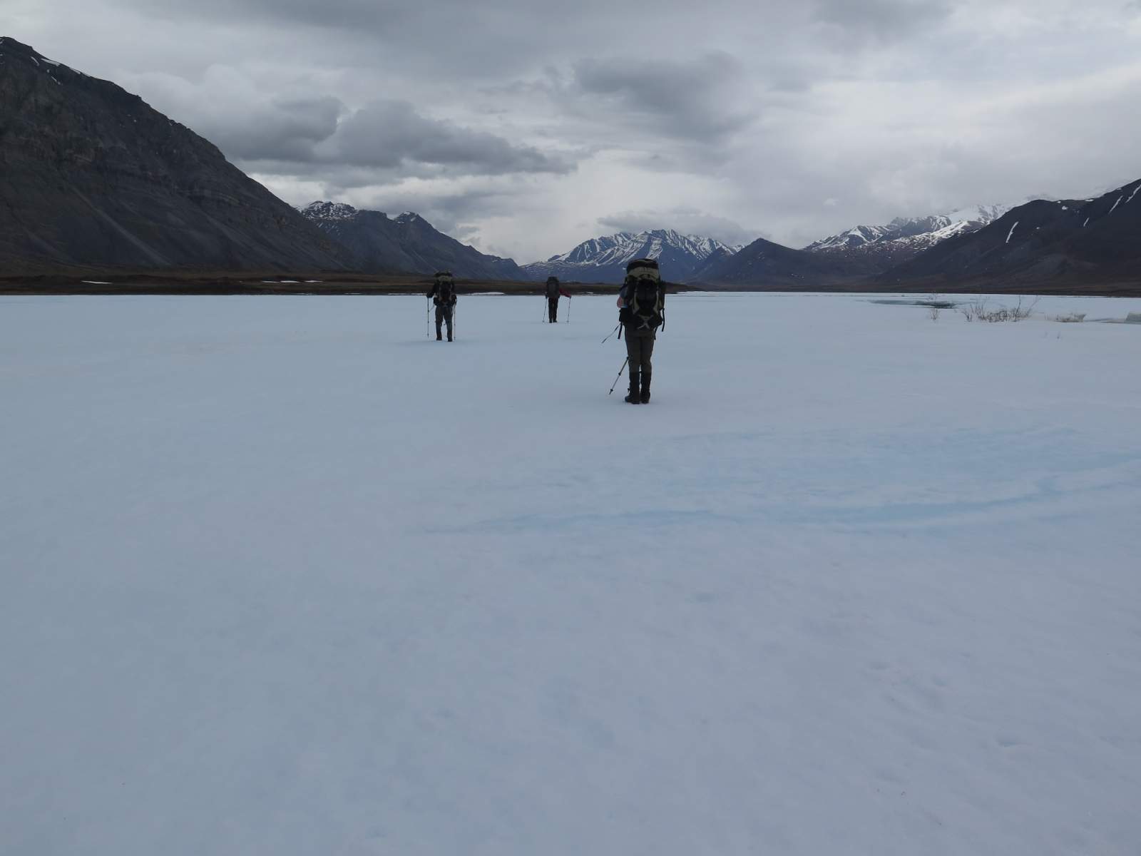
Next, ascend the first named creek on the map coming in from the north, Grizzly Creek. One mile before Grizzly Creek's headwater lake, climb a steep shoulder toward the high ridge to the southwest. From this high point, called Peregrine Pass (though unlabeled on the USGS maps), you'll descend the steep slop toward the headwater lake of the North Fork Koyukuk River. The route-finding down may be tricky, due to a mix of steep scree, tundra and streambeds. Trekking poles will be especially helpful in climbing up to and descending Peregrine Pass.

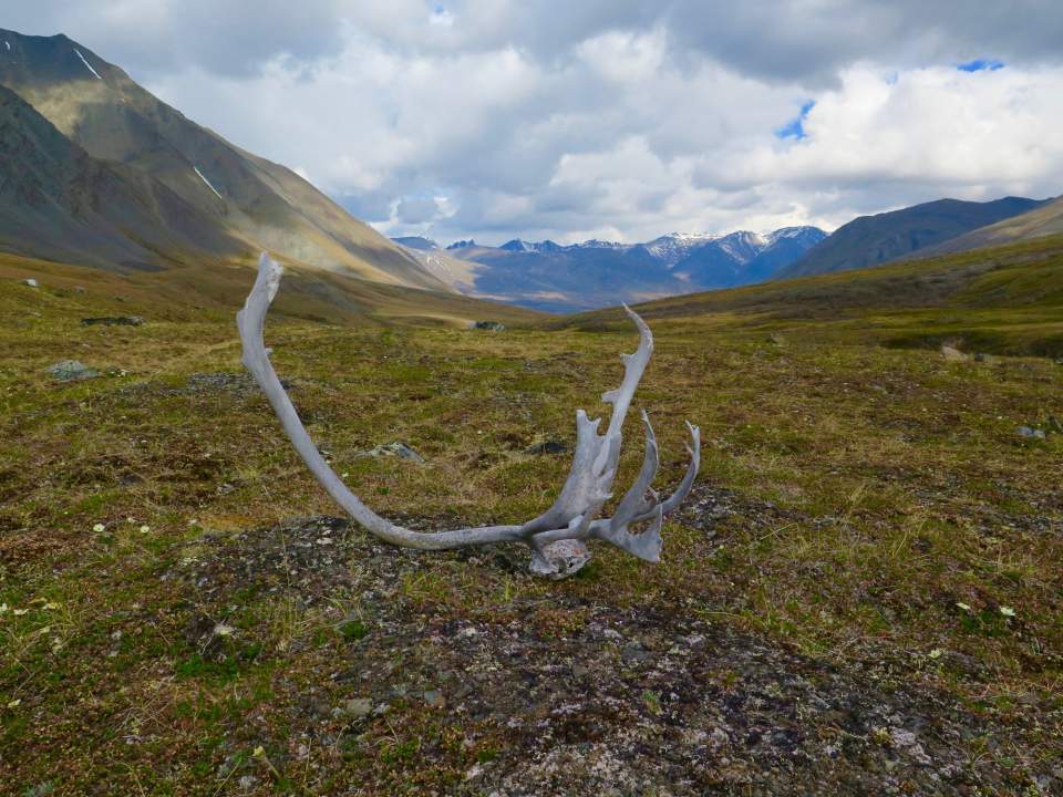
(photo courtesy of Haley Johnston)
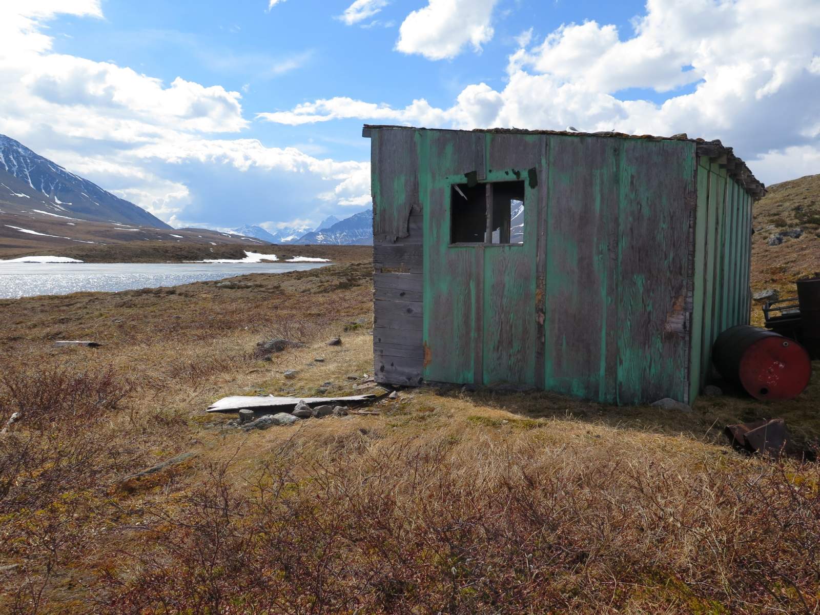
Follow the North Fork Koyukuk River for a few miles until it bends sharply south. Continue traveling due east away from the river and toward an alpine lake called Summit Lake (also not labeled on USGS maps). Float planes can land at Summit Lake if you should choose to abbreviate this trip by starting or ending here. An old dilapidated cabin stands above the lake; while it's not recommended as a place to camp, you may want to stop in to see many years-worth of graffiti inside.
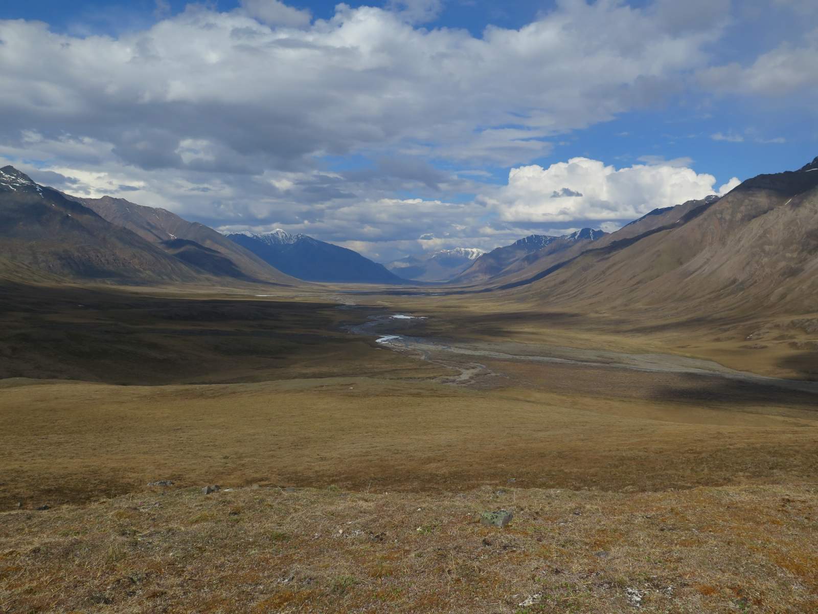
From the lake, travel northeast toward the Oolah Valley, but bend southeast when the Itkillik River enters the valley and follow it to its headwaters at Oolah Pass. Descend the valley on the east side of Oolah Pass, along Kuyuktuvuk Creek, for roughly 5.5 miles. Turn east to make a final climb up to the ridge. From the top of this ridge you'll be able to look down at the Dalton Highway. Pick your way down to the Dietrich River. Micro-navigation may minimize the bushwacking you'll encounter, but some amount of brush is inevitable. At the Dietrich River, carefully scout for a suitable crossing. You may have to walk several miles upriver, paralleling the highway until you find a place to cross. When communicating your pickup location to your shuttle driver, you can indicate that you'll be roughly three miles south of Chandalar Shelf on the Dalton Highway.
Distance
65 miles for the complete traverse, Anaktuvuk Pass to the Dalton Highway; 40 miles from Anaktuvuk Pass to Summit Lake; 30 miles from Summit Lake to the Dalton Highway.
Number of Days
6-8 for the complete traverse; 4-5 for either of the abbreviated options
Backcountry Starting Point
Anaktuvuk Pass
Backcountry Ending Point
Dalton Highway (~3 miles south of Chandalar Shelf)
Trip Logistics
Complex
Full Itinerary
- Fly from Fairbanks to the village of Anaktuvuk Pass with Wright Air Service.
- Start hiking right from town.
- Before your trip, plan ahead to have a shuttle pick you up from your end point at the Dalton Highway and shuttle you to Coldfoot. Arctic Hideaway Bed and Breakfast (located in Wiseman) or Dalton Highway Express (located in Fairbanks) may be able to arrange a shuttle.
- Return to Fairbanks from Coldfoot on a flight with Wright Air Service. Or take a Dalton Highway Express Shuttle all the way back to Fairbanks.
Sample Shortened Itinerary
- Fly or drive from Fairbanks to the small town of Coldfoot.
- Charter a flight from Coldfoot (Coyote Air is a great option) to Summit Lake in Upper Oolah Valley.
- Before your trip, plan ahead to have a shuttle pick you up from your end point at the Dalton Highway and shuttle you to Coldfoot. Arctic Hideaway Bed and Breakfast (located in Wiseman) or Dalton Highway Express (located in Fairbanks) may be able to arrange a shuttle.
- Return to Fairbanks from Coldfoot on a flight with Wright Air Service. Or take a Dalton Highway Express Shuttle all the way back to Fairbanks.
Experience Level Necessary: Intermediate
This trip is a great option for someone who has backpacked extensively outside of Alaska or already has some Alaskan backpacking experience. This trip is exclusively off-trail hiking, requiring greater navigation skills than many other routes. Make sure your map and compass and/or GPS skills are sufficient for this type of trip. You may want to review our Backcountry Navigation page to help determine if you're ready for this trip.
(photo courtesy of Haley Johnston)
Expected Hazards
- River and creek crossings
- Bear habitat. Make noise and carry bear deterrents, as brown bears live here.
- Steep terrain around Peregrine Pass
- Challenging route-finding
Other Advice
- Stop into the Simon Paneak Memorial Museum in Anaktuvuk Pass to learn about the local history, the land you are recreating on, and the Alaska Native people who live there.
- If you have extra time, plan for an extra day or two in your itinerary; there are many amazing side valleys to explore on day hikes.
Will you see other people in the backcountry?
Unlikely. While it's possible you may run into another party while on your trip, there are relatively few folks who venture into the backcountry of the Brooks Range.
Land Manager
Gate of the Arctic National Park & Preserve
GPS Coordinates
Starting Point: Anaktuvuk Pass, 68.13796, -151.73479
Ernie Pass: 68.08867, -150.94199
Peregrine Pass: 68.07424, -150.69309
Summit Lake: 68.07210, -150.47226
Oolah Pass: 68.06669, -150.00232
End Point: Dalton Highway, 68.02557, -149.70706
USGS Maps
Chandler Lake A-3
Chandler Lake A-2
Chandler Lake A-1
Philip Smith Mountains A-5
Cost: $$-$$$$
The cost of this trip increases significantly if you charter a flight to or from Summit Lake to shorten the mileage. The complete traverse from Anaktuvuk Pass to the Dalton Highway is a rare, relatively inexpensive way to see a large portion of the Brooks Range.

Photos