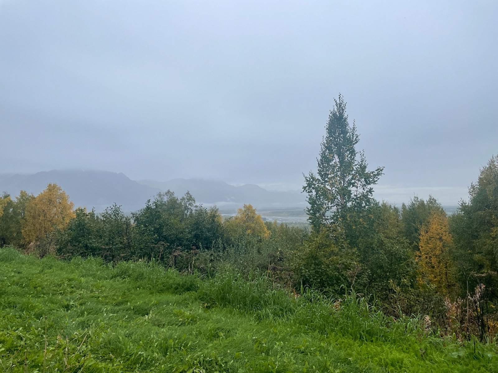
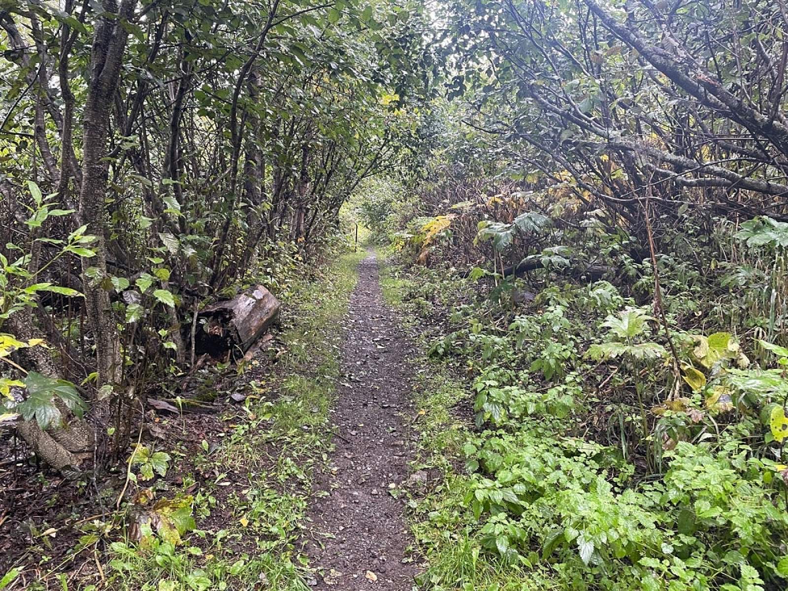
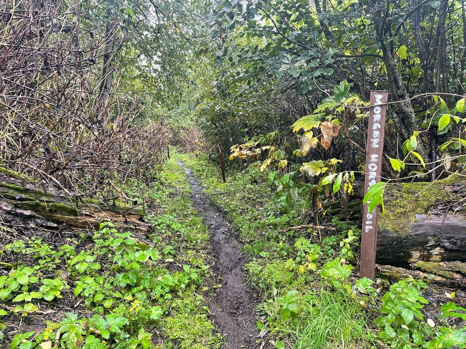
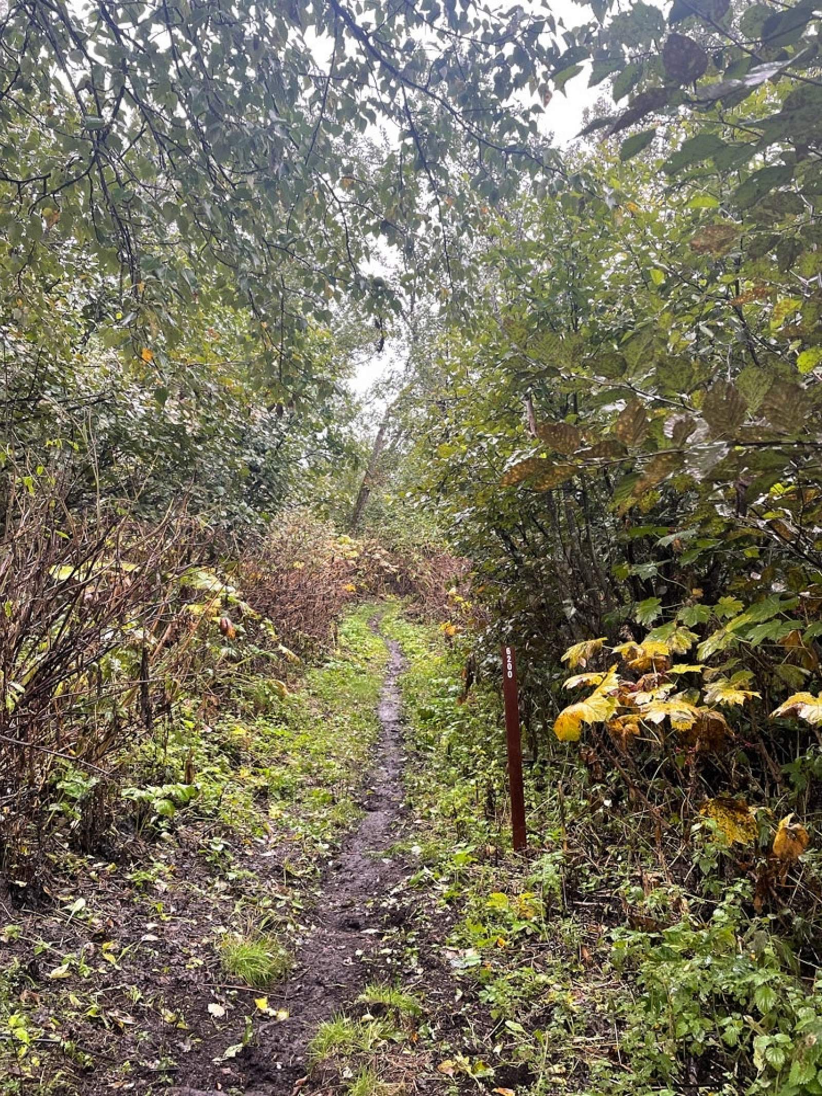
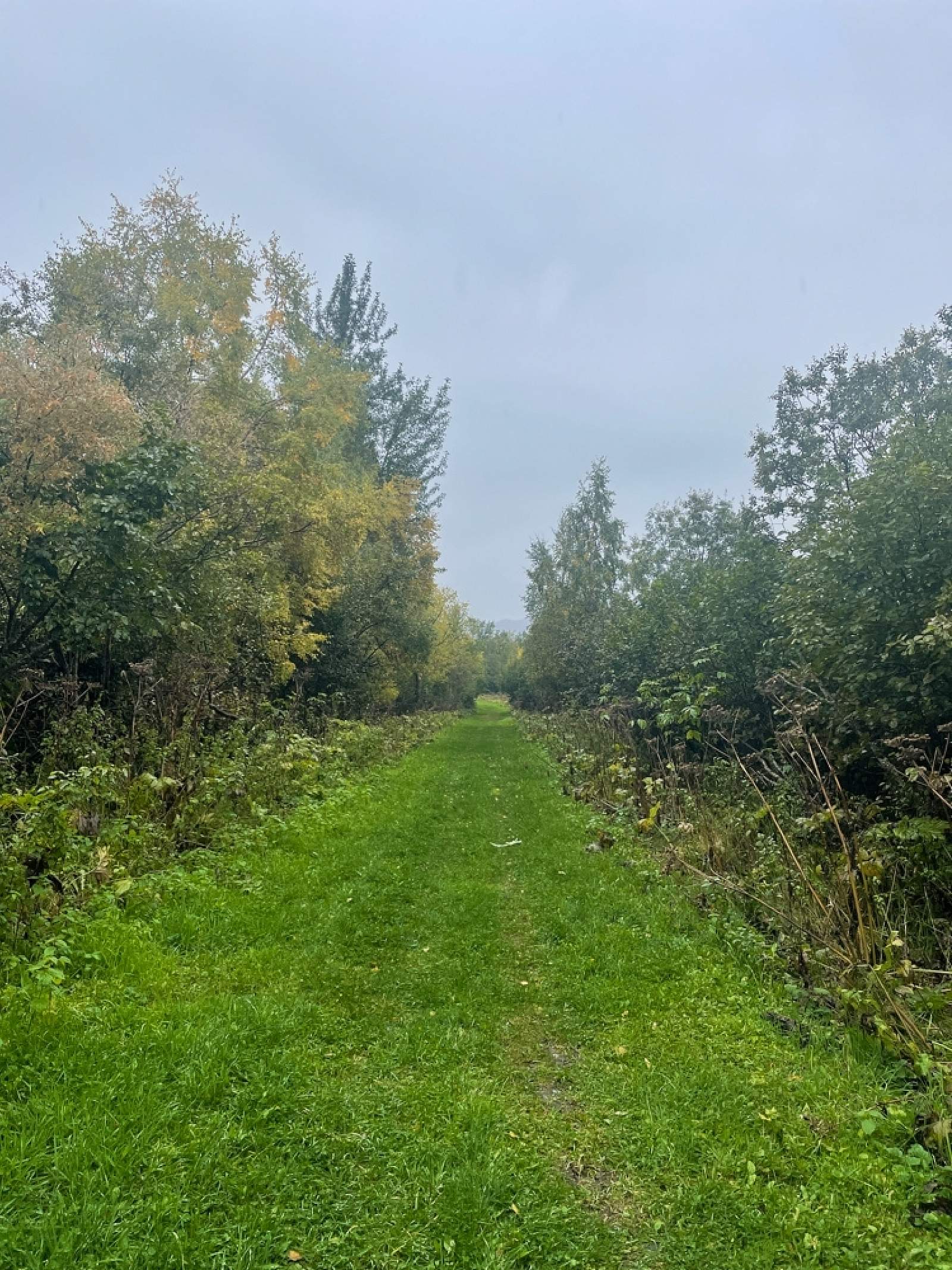
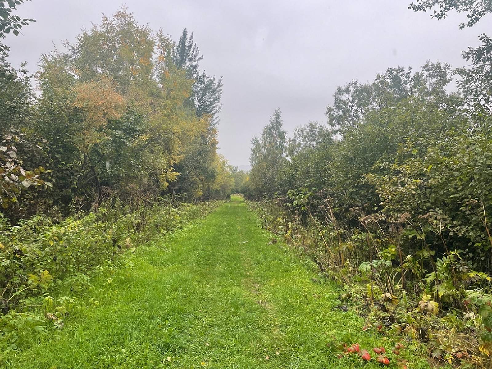
This relatively flat, wide-berth trail tops out at approximately 300 feet above sea level, making it an ideal stroll for all ages. High bush cranberry, alder, devil’s club, and cow parsnip make up dense undergrowth, while large cottonwood, white spruce, and birch create a lush summer canopy.
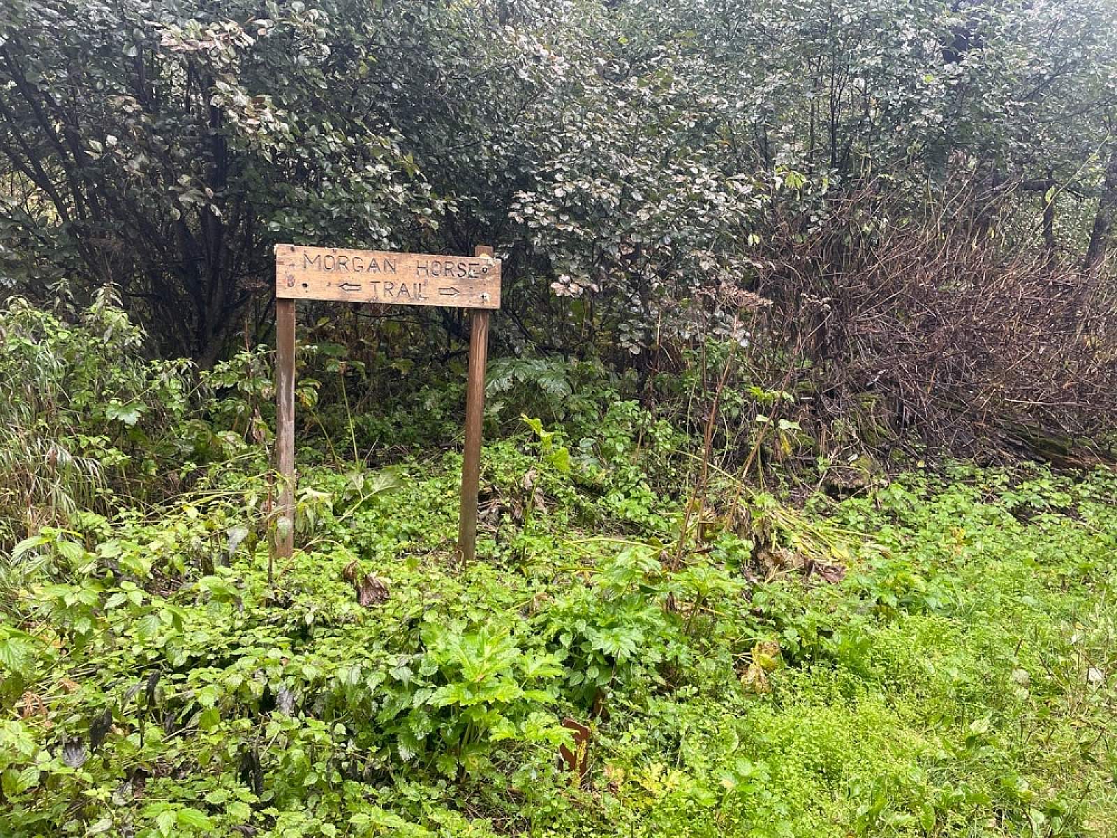
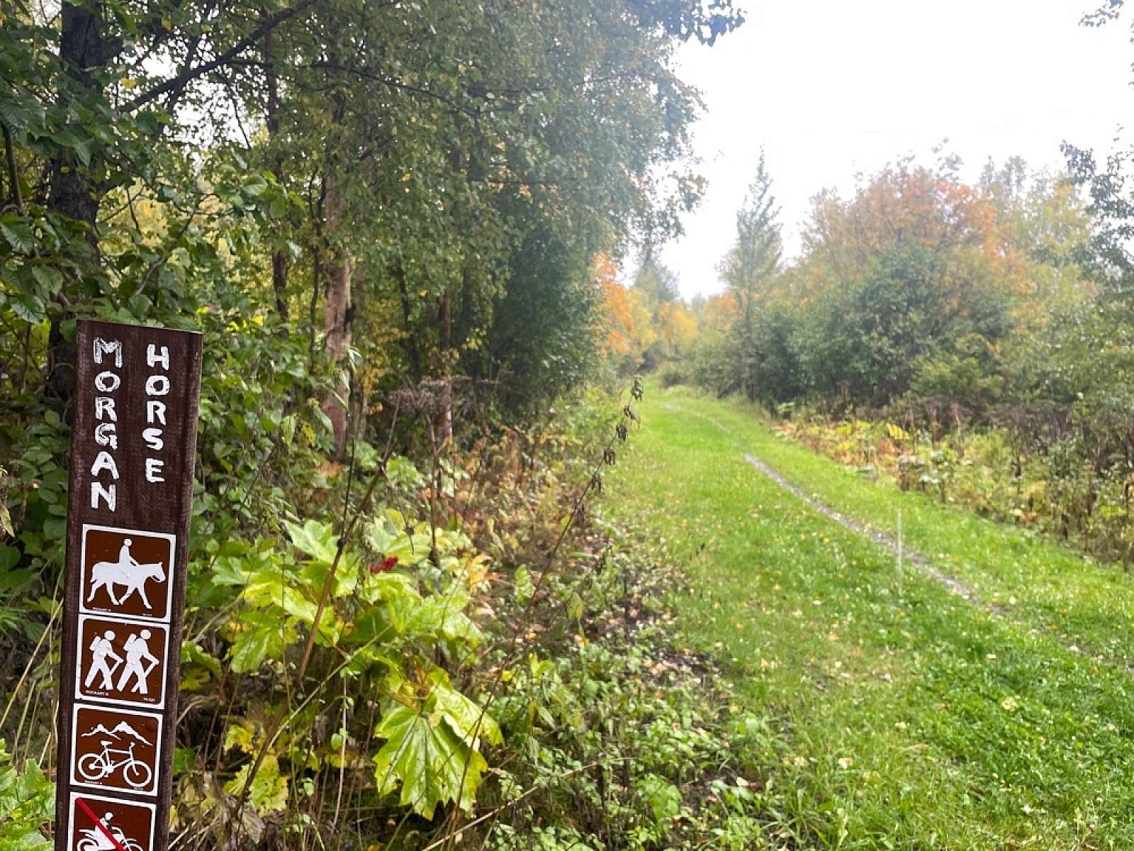
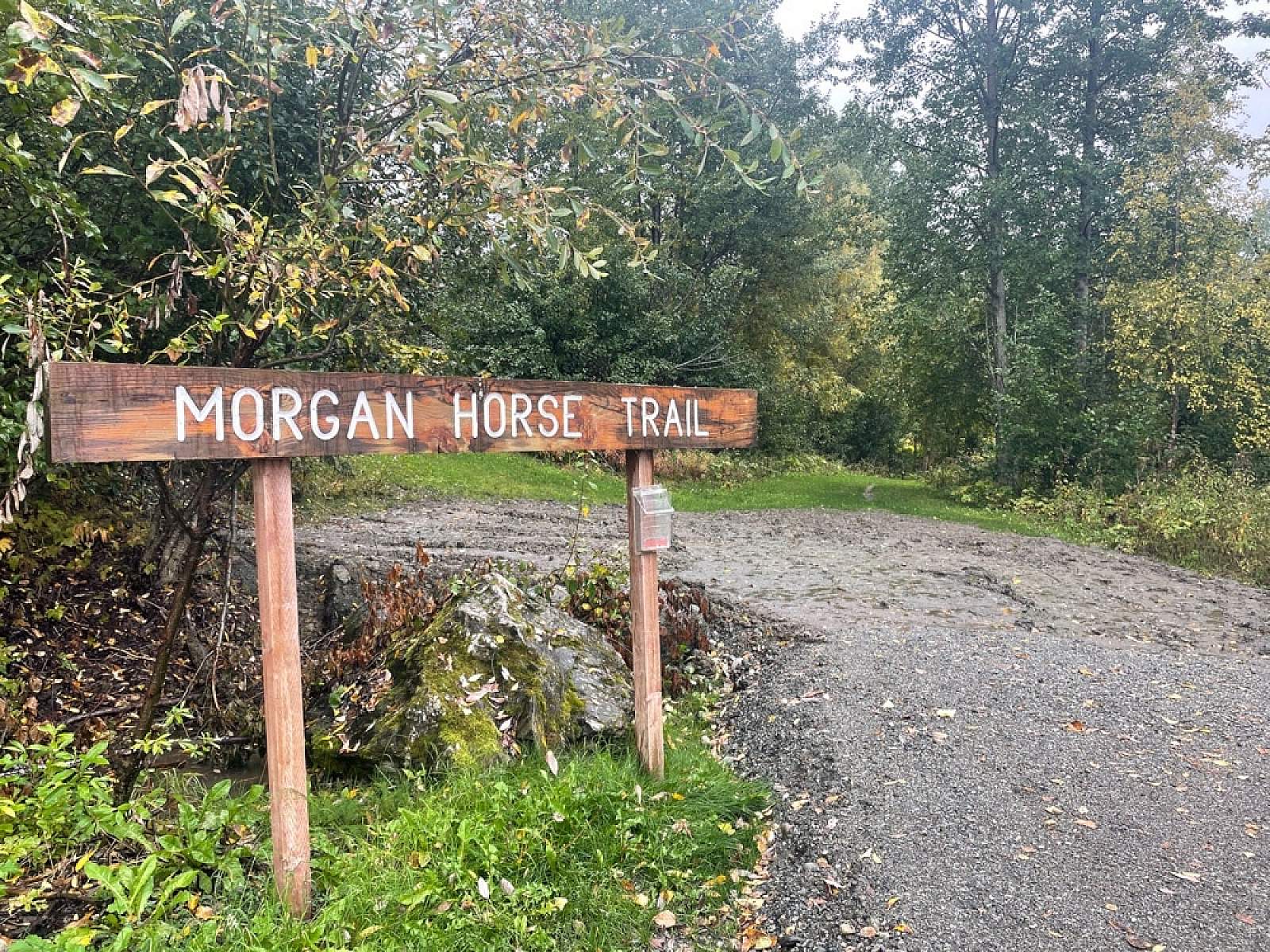
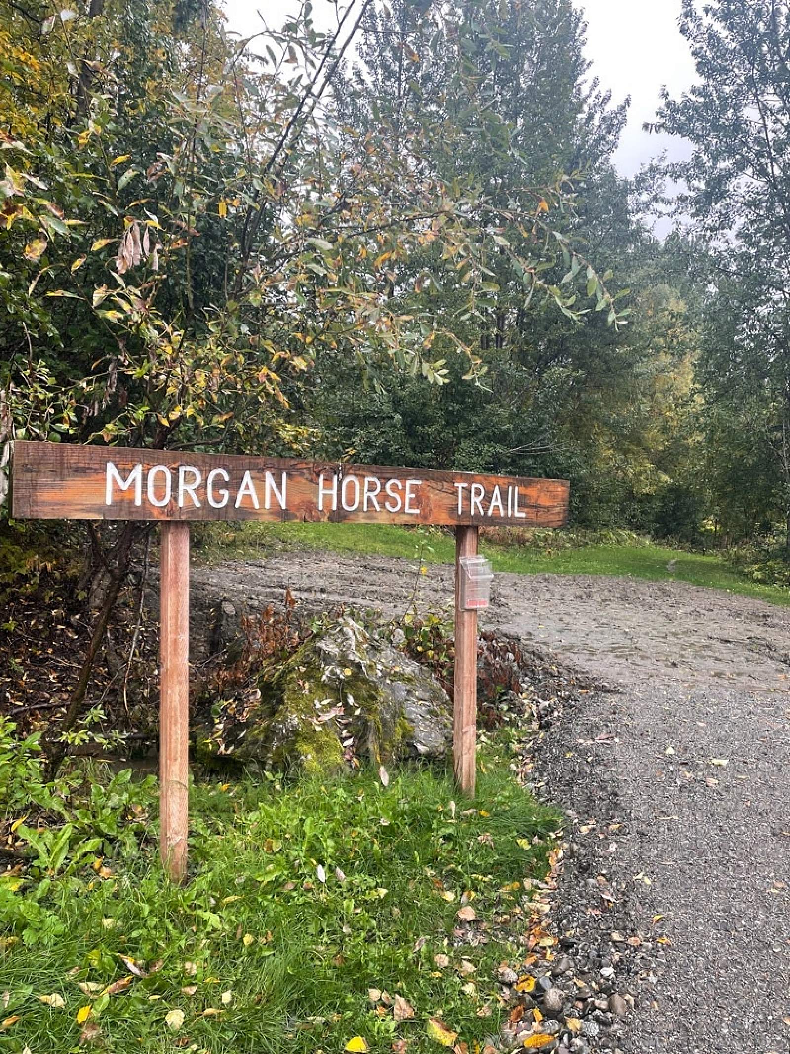
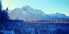
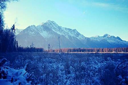
The Morgan Horse Trail hugs the base of Lazy Mountain, following a section line easement. Multiple access points offer opportunities to easily hike and shuttle for those after a one-way trip. In addition to hiking, the area is a popular destination for summer horseback riding, as much of the trail stays shaded from the midnight sun.
Heavy rain, particularly in the spring, can create muddy trail conditions. Travelers should be prepared for the possibility of a bear or moose encounter and make their presence known while hiking.
Worth noting: Portions of this trail are in close proximity to private property. Respect trail boundaries and keep dogs leashed. This is a non-motorized, year-round trail.
Features: Running, hiking, biking, horseback riding
Winter: Cross-country skiing
Want to explore with an experienced guide? Check out Revel Treks & Tours to plan your adventure.
Getting There

Trailhead at Lazy Mountain Recreation Area
2955 Mountain Trail CirclePalmer, AK 99645
Parking is available on East Maud Road (Plumley-Maud Trailhead), East Smith Road (Matanuska Peak Trailhead), or from Lazy Mountain Recreation Area. Directions below are for access via the Lazy Mountain Recreation Area.
Palmer is approximately 45 minutes from Anchorage. From downtown Palmer, travel on the Old Glenn Highway for approximately 2.5 to Clark-Wolverine Road. Turn left on Clark-Wolverine and continue until the road ends at a T-intersection. Turn right onto Huntley Road and follow it approximately ½ mile until it veers right and slightly downhill into the Lazy Mountain Recreation Area.
Photos


Show Map
Morgan Horse Trail Points

Only a few miles outside of Palmer, this popular winter recreation area features groomed cross-country skiing trails that are also open to snowshoeing and skijoring. The upper trails are designed for novices, while the lower trails are meant for experts. If you really want to go big — and have good weather — access the Lazy Mountain Trail and climb high into the alpine, with views of the Matanuska and Knik River valleys. (Note: To avoid a… ...more
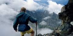
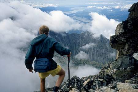
No official trail in Southcentral Alaska climbs as high as Matanuska Peak Trail. Beginning in a subdivision across the Matanuska River from Palmer, this nearly 6‑mile-long trail runs up some 5,700 vertical feet. Your destination is the 6,119-foot summit of Matanuska Peak, the very prominent rock spire that fills the sky just east of Palmer. But despite the imposing appearance of this mountain, the trail to its summit requires no extensive ...more
How to get ThereThe Plumley-Maud Trail can be accessed from the end of Maud Road, or from the corner on Plumley Road near Caudill Road. 1) Access from Maud Road: From Palmer go south east 3 1⁄2 miles on the Old Glenn Highway, take a left on Maud Road, follow Maud Road for 1 1⁄2 miles. There is a small turn around and limited parking before the creek directly east of the road. Please be careful not to block the entrance to the trail or the… ...more