How to get There
The Plumley-Maud Trail can be accessed from the end of Maud Road, or from the corner on Plumley Road near Caudill Road. 1) Access from Maud Road: From Palmer go south east 3 1/2 miles on the Old Glenn Highway, take a left on Maud Road, follow Maud Road for 1 1/2 miles. There is a small turn around and limited parking before the creek directly east of the road. Please be careful not to block the entrance to the trail or the private driveway on the north side. To access the Plumley-Maud Trail cross the creek (east of the road) and take the first trail on the right. 2) Access from Plumley Road: From Palmer go southeast 6 1/2 miles on the Old Glenn Highway, take a left on Plumley Road, follow Plumley Road for 1 ½ miles to the intersection of Caudill Road, take a left on a small gravel road. At the point where the small gravel road turns left the trail begins and heads north. Parking is limited. Use the roadside and please do not block the trail or driveways along the road.
General Description
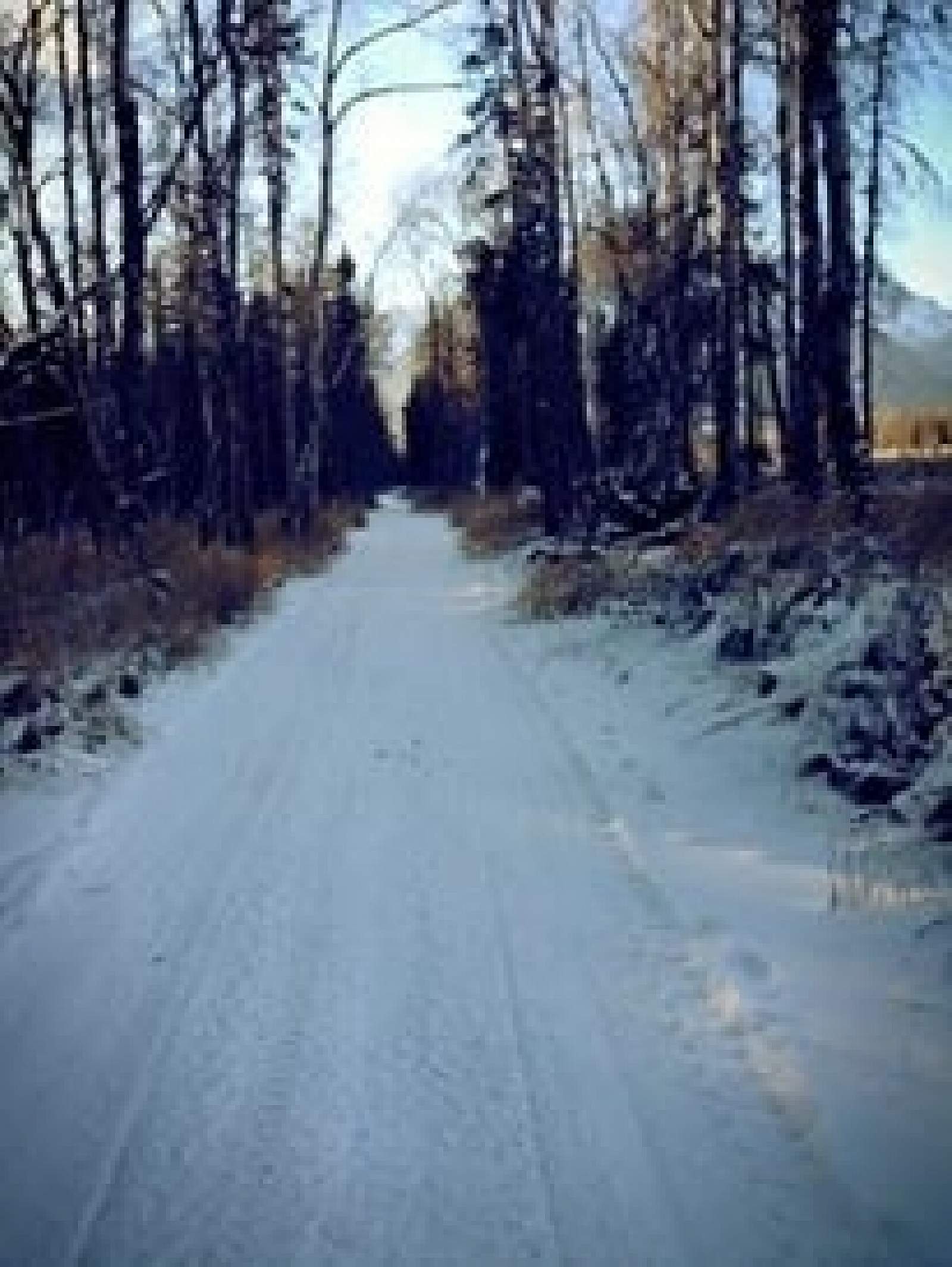
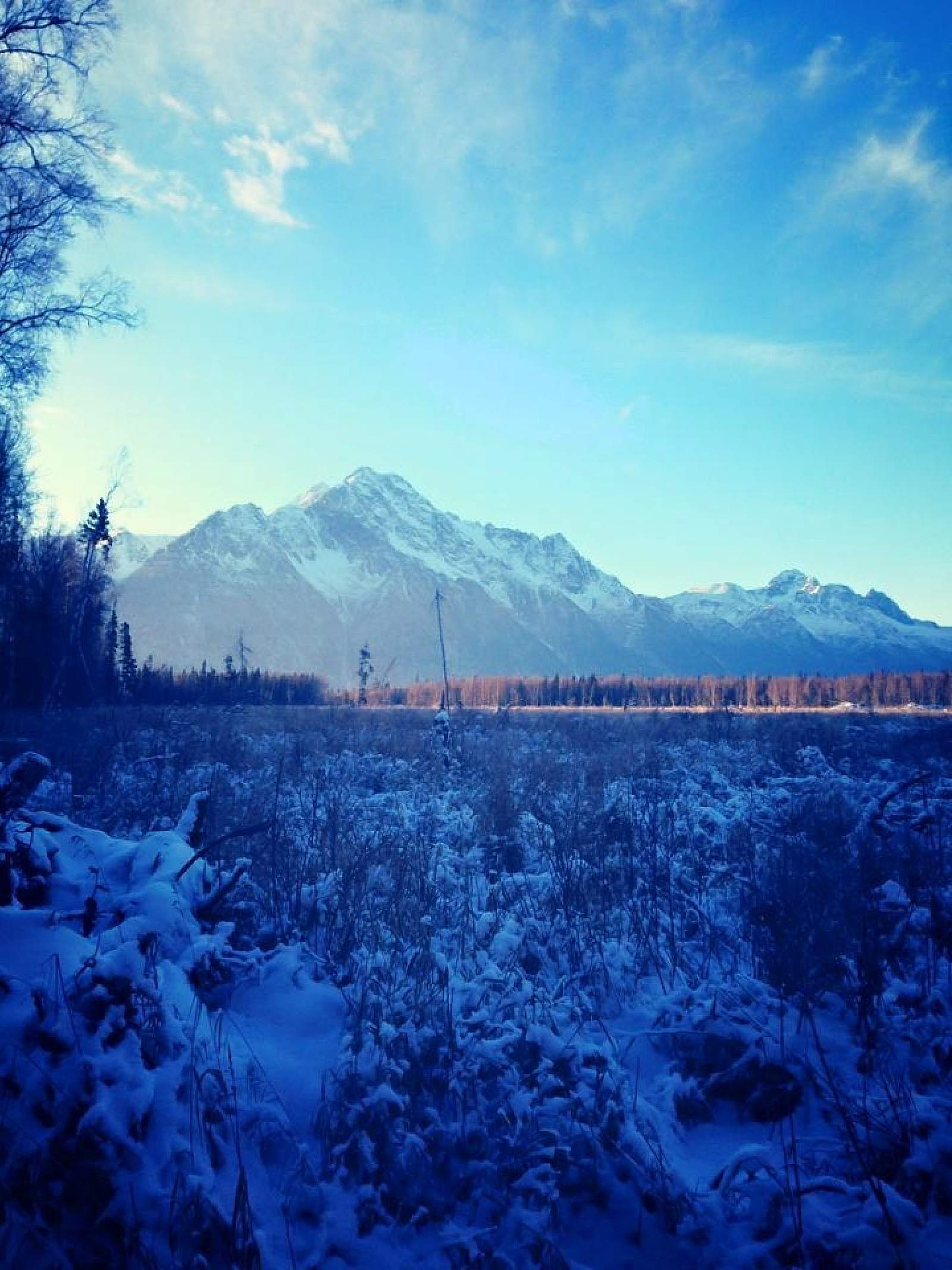
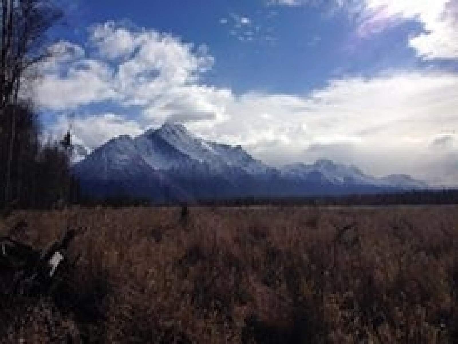
The Plumley-Maud Trail is a year round multiuse trail which runs north-south between Maud Road on the north and Plumley Road on the south. The trail was originally built by loggers to access logging areas near Burnt Butte, so there are several small trails connecting to the main trail. Much of the logging was done in the winter when the ground condition was hard and the marshes frozen. Because of this the trail crosses wet areas which are sensitive to heavy use. Plans are underway to relocate portions of the trail and harden other portions in the summer of 2005. The trail can connect the user to the Rippy Trail byway of the Burnt Butte Trail, and the Morgan Horse Trail via Maud Road. The area is wooded with stands of birch, spruce and cottonwood. There are several places along the trail where the vegetation opens up offering views of Matanuska Peak, the Knik River valley and Pioneer Peak. The trail passes close by residential areas, so please respect private property.
Trail Uses
The Plumley-Maud Trail is maintained by the MSB Parks and Outdoor Recreation Division for multiple trail uses. Summer use includes hiking, mountain biking, ATV riding, and horse back riding. Winter uses include cross-country skiing, horse back riding, dog mushing, skijoring, and snowmachining. Snowmachiners and ATV riders must yield to non-motorized trail users and keep their speeds under 10 mph.
*Take note Dogs must be on leash and under your control. Bears and other wildlife are native to the area and proper precautions should be taken to make your presence known.