Winner Creek to 20 Mile Packraft
Why Choose This Trip?
The Winner Creek to 20 Mile River loop is a great first packrafting trip. For those with packrafting skills, this route offers a quick, easy-to-access, multi-sport adventure. The hike up to Berry Pass is seriously underrated, and the views of 20 Mile watershed are absolutely stunning.

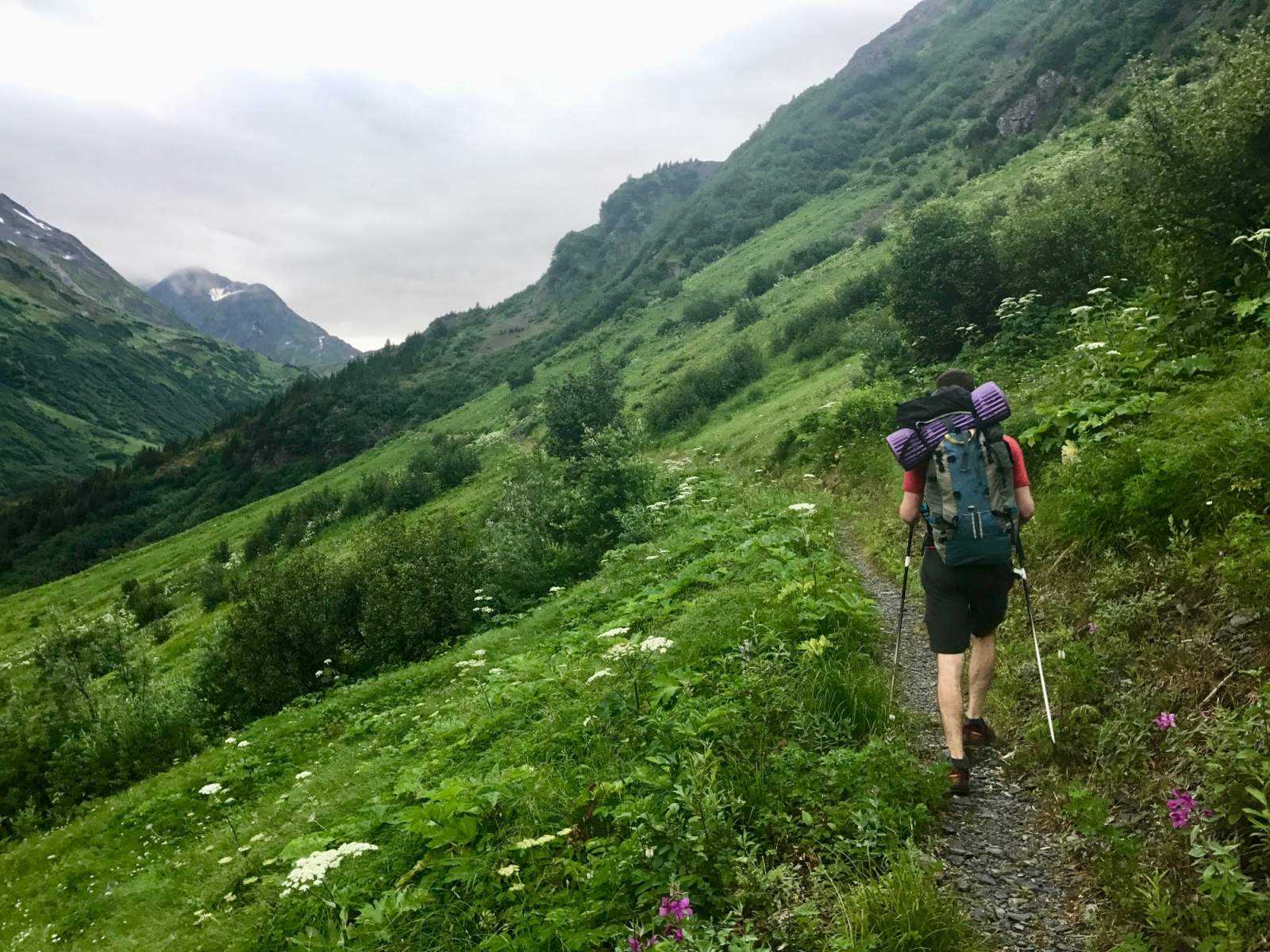
Trail Through Berry Pass (photo courtesy of Haley Johnston)
Trip Type
Packrafting
Region
Southcentral
The Route
Head up the Winner Creek Trail for 1.5 miles, until the trail comes to a well-marked T, then turn right toward Berry Pass. In another 6 miles, after crossing creeks, tumbling waterfalls, and fallen trees, you'll reach Berry Pass. (Recent work has greatly improved the upper trail.) Stunted hemlocks, small ponds, and blueberries dot the pass. On a clear day, the sight of upper 20 Mile River's headwater glaciers makes for one of the most gorgeous trail-accessed views in the Chugach. If you're doing this trip as an overnight, Berry Pass is the best location to set up camp.
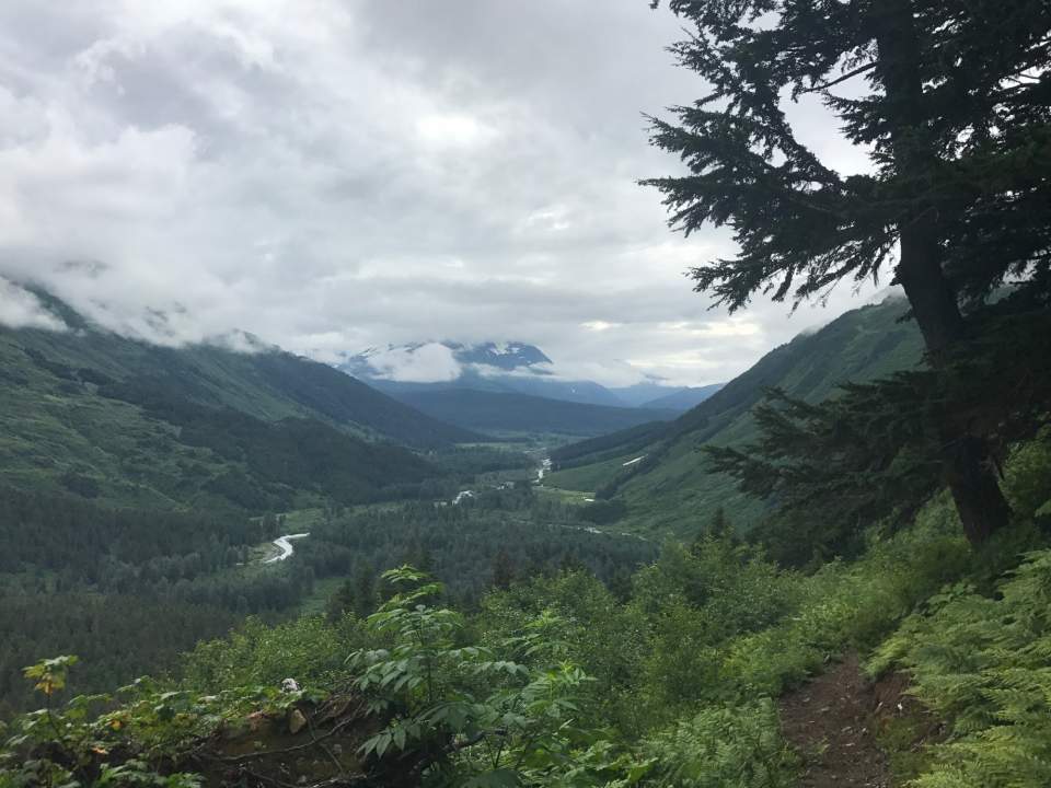
Descending Towards 20 Mile River (photo courtesy of Haley Johnston)
From the pass, continue down the trail toward the 20 Mile River for 3.5 miles, to an impress bridge spanning a swift-moving tributary. The Forest Service had plans to continue the trail all the way to the highway, but for now the funding, and trail, end here.
From the near side of the bridge, hike down to the tributary. Some people will choose to packraft this creek, but be advised there are fast corners and many wood hazards. The other option is to bushwhack to the confluence of the tributary and 20 Mile and put in there. The bushwhack is unpleasant but short, and it's the best choice for less-experienced boaters.
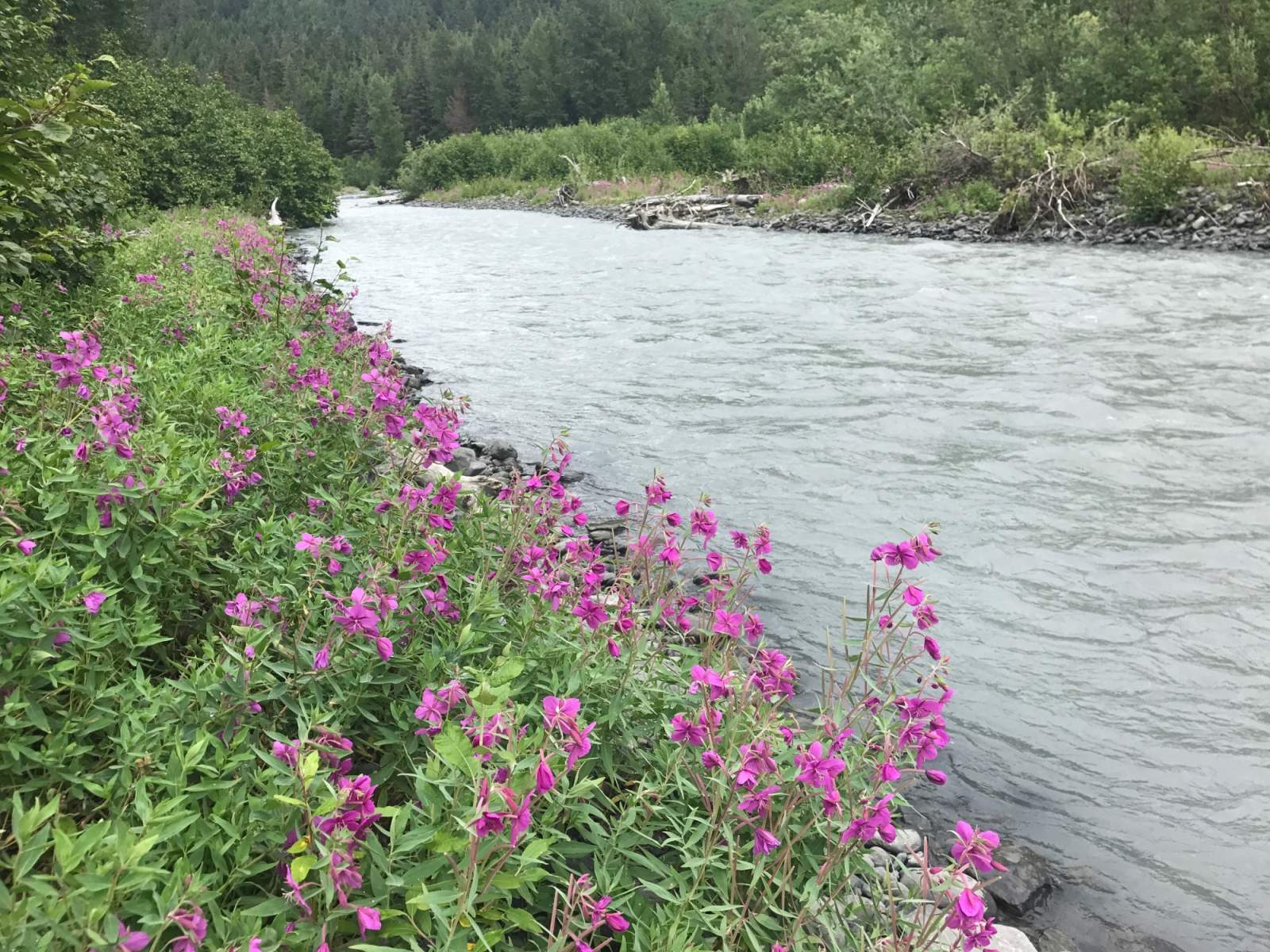
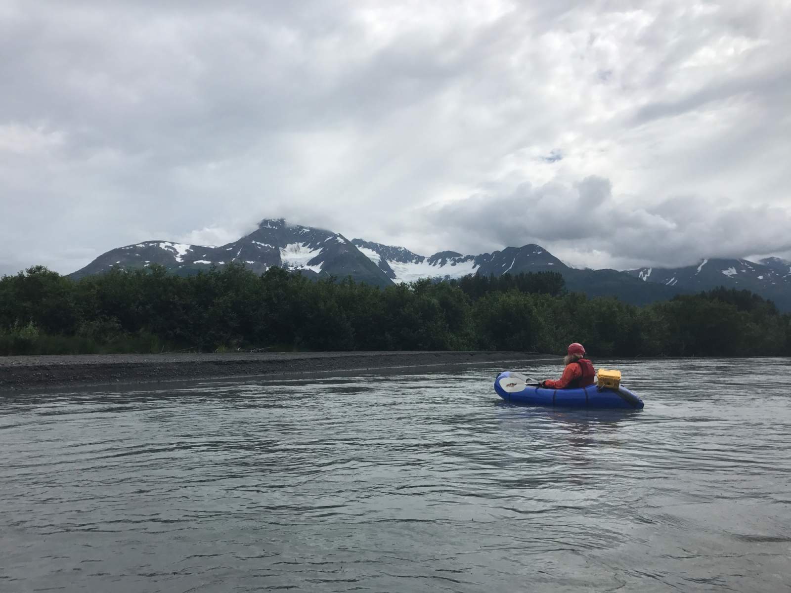
The upper portion of the 20 Mile River, above the confluence with Glacier River, is the swiftest and most enjoyable portion of the float. Past the confluence, there's easy floating and some tedious paddling to the takeout at the Seward Highway. Don't forget to turn around and take in the glaciated views of the valley while floating.
Distance
~26 Miles: 11 miles hiking (7.5 miles from the Winnder Creek Trailhead to Berry Pass; 3.5 miles from Berry Pass to the put-in); 15 miles on the river.
Number of Days
2 (Though the trip can be done in one long day, especially in mid-summer with extended daylight)
Backcountry Starting Point
Winner Creek Trailhead at the Alyeska Resort
Backcountry Ending Point
20-Mile River Bridge on the Seward Highway
Trip Logistics
Moderate Complexity
To get to the trailhead, take the Seward Highway south towards Girdwood, then take the Alyeska Highway east from the Seward Highway. Where the Alyeska Highway comes to a "T" with Arlberg Ave., turn left. Follow Arlberg past the entrance to the Alyeska Resort, eventually taking a left on North Face Road. Park in the long-term parking on the northside of North Face Road. Walk back toward Alyeska Resort on the pedestrain trail along Arlberg Ave. At the Arlberg Ave. roundabout, continue past the tram terminal. About 300 feet southeast of the tram terminal, look for the Winner Creek Trail sign at the edge of the woods.
When you reach the Seward Highway at the end of your trip, the safest, most accessible parking is to the south of the 20 Mile bridge, in a designated pulloff on the east side of the highway.
Getting from the take-out back to Alyeska Resort is the easiest if you leave a second vehicle at the take-out prior to the trip. Other options to return to your vehicle include leaving a bike at the take-out (use extreme caution biking along the Seward Highway) or hitchhiking back to the Alyeska Resort. Shuttles, taxis, and ridesharing (Uber/Lyft/etc.) are not viable options.
Experience Level Necessary
Novice Backpacker / Beginner Packrafter
This trip is great for a novice backpacker. If you're not a packrafter, an out-and-back trip to Berry Pass is a suitable trip for a very first backpacking trip in Alaska. For packrafters, this is a great first overnight trip after you've gotten to know your packraft on shorter, flatwater or Class I day trips.
Expected Hazards
While hiking
- Stream crossings
- Bear habitat; make noise and carry bear deterrents, black and brown bears live here
While boating
- Wood hazards. 20 Mile River is mostly Class I - II with few hazards, but be on the lookout for sweepers and strainers, which have the potential to be channel-wide, requiring a portage.
- Motorboats. Especially during silver salmon season, motorboats are common in the lower reaches of the 20 Mile River. You should be able to hear them long before you see them, but they move quickly and can be dangerous around blind corners.
Other Advice
The lower section of the 20 Mile River is greatly influenced by the tides of the Turnagain Arm. Before your trip, check the tide table for Turnagain Arm. To avoid padding against the incoming tide, try to time your exit of 20 Mile River for a low or outgoing tide.
Will you see other people in the backcountry?
Probably. Lower Winner Creek Trail is a popular day hike. As you approach Berry Pass, there will be fewer hikers, but keep an eye out for downhill mountain bikers - they move fast! There may be other campers at Berry Pass, but there's plenty of room to spread out and enjoy an evening of solitude. Fewer folks descend town the trail on the south side of Berry Pass. You'll likely have the upper reaches of the 20 Mile River all to yourself, but motorboats are not uncommon as you descend the river and approach the highway.
Land Manager
GPS Coordinates
Starting Point: 60.97003, -149.09692
Berry Pass: 60.97678, -148.95175
Ending Point: 60.84454, -148.98732
USGS Maps
Seward D-6
Seward D-5
Cost: $
The only expenses are gas or transportation to/from the trailhead and food for your trip. There are no permits, reservations, or fees associated with this route.

Photos