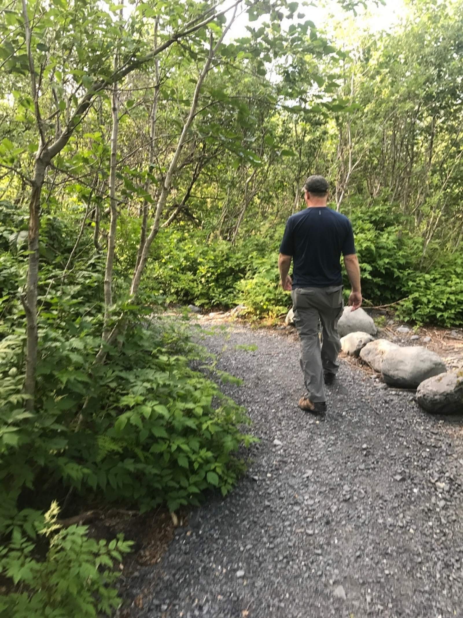
Whittier’s newest trail is a gem—a gentle, ¾-mile stroll that follows Whittier Creek from the railroad crossing up to the waterfall. Locals love it: It’s right in the middle of town, but the lush greenery makes you feel like you’re far from civilization. Visitors love the gorgeous waterfall where the trail ends, but until this pathway was created, they didn’t have a clear way to access it.