Upwards of 40,000 military and civilian employees were stationed in Sitka before and during World War II. This was one of their creations, a man-made archipelago of buildings and fortifications aimed at deterring a foreign invasion.
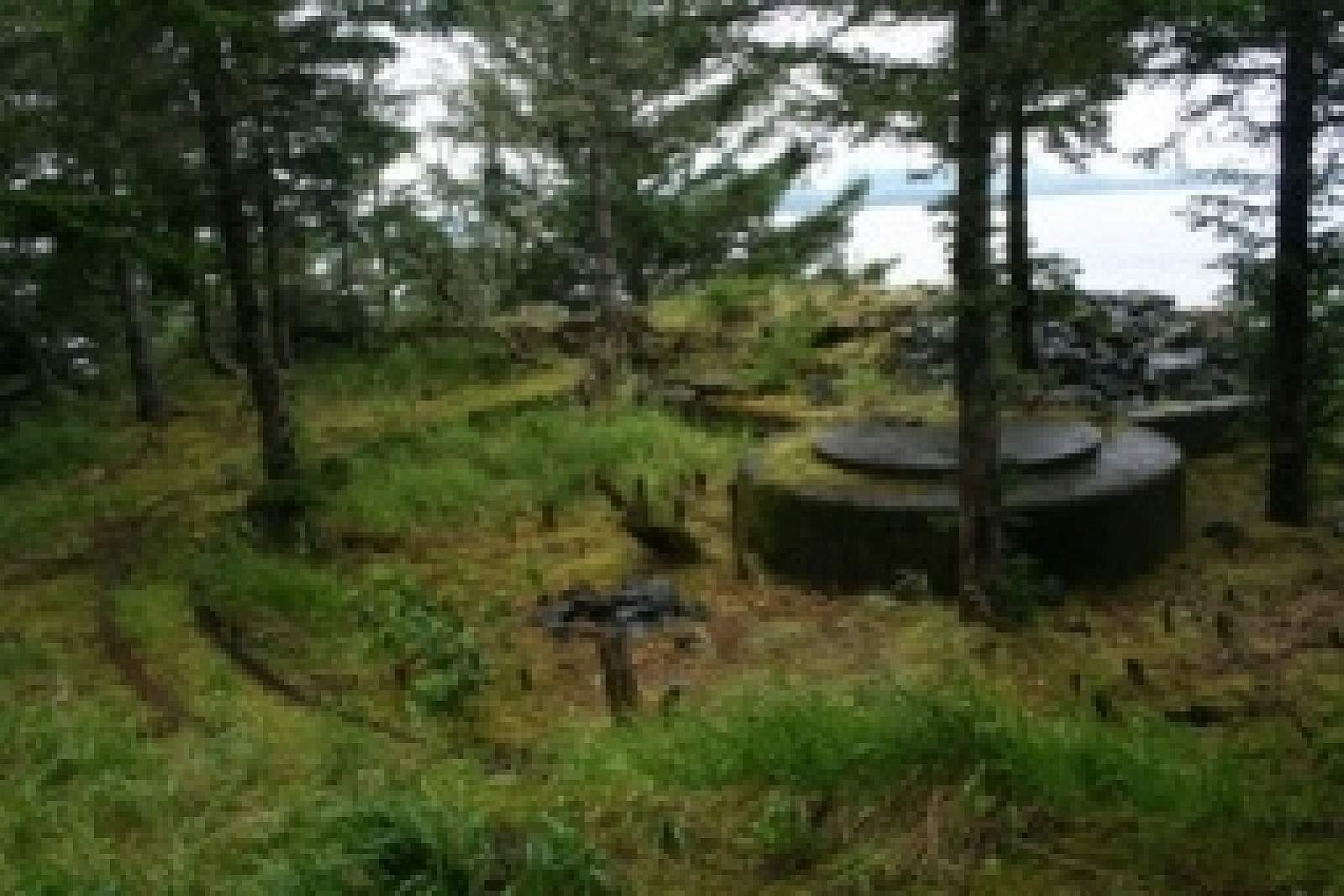
During World War II, Sitka was the hub of military activity in Southeast Alaska, with a U.S. Naval Air Station and other installations that employed 30,000 military personnel and 7,000 civilians. Sitka’s jet airport is the site of Alaska’s first military seaplane base, where planes left to scout for Japanese submarines in the Gulf of Alaska. The remains of military sites from this era dot the perimeter of Sitka Sound, appearing as moss-covered concrete slabs and rusting hulks in the forest and on prominent points and beaches. These six, connected islands west of Sitka’s airport provide a fascinating look at the extent of war preparations, including the remains of underground bunkers, ammunition magazines and gun emplacements. Makhnati Island, at the trail’s end, was the site of Fort Rousseau, a command center defended with heavy artillery. The causeway is an unmaintained and unimproved historic park, 1.5 miles long, with good beachcombing along the way. Bring a strong flashlight if you plan to enter dark bunkers; some are treacherous. Although geographically connected to the airport runway, there’s no road access, so you’ll need to hire a water taxi for drop-off and pick-up. Whiting Harbor on the north side of the island chain provides the best-sheltered anchorage, although the west shore of Makhatni also works in fair weather. A campsite is on the west side of Kirushkin Island.