The Rocky Ridge Trail is one of the most well used—and well-developed—trails in the Seldovia area.
The whole trail, which makes a loop, only takes about two hours to hike, and from here you’re within walking distance of any spot in town. There are two trailheads: one behind the airport and another three quarters of a mile out of town, on Rocky St. If you do the full loop, it’s a moderate-to-difficult hike, but you can also make it an easy-to-moderate hike: just leave from the airport and do half of the trail, and then backtrack in the same direction. That shorter version takes just about an hour (but it's still a bit steep).
To access the airport end of the loop: Head toward the airport from town, cross the slough bridge, and then cross the large culvert that dumps Fish Creek into the slough. Veer to the right, then head behind the big blue State maintenance shop. There, to your right, you’ll see a yellow pipe gate: that’s the trailhead. Pass the gate, then head uphill. You’ll come to another pipe gate several hundred yards uphill. There’s a sign here, and you continue up the trail/road.
To get to the Rocky St. end of the trail: Cross the bridge over the slough as you head from town to the airport, but turn right at the second street. This street goes about 200 yards and veers to the left, onto Rocky St. From here, you’ll walk a half-mile until you reach a driveway-like road to the left. Turn left, and then go straight to cross the bridge over Fish Creek. Continue straight, and don’t veer to the left after the bridge. You’ll see a house there (a private property) and you’ll see a sign straight ahead, after the bridge, which marks the trail.
As part of a full loop hike, the Rocky Rd. end of the trail is steep, but you’ll have good footing the whole way. When you pass the pipe gate on the airport end of the loop, you’ll see a wide gravel road. From that gravel road, you can take the trail 90 degrees to the right into the forest (the turn is marked by a small trailhead sign). If you miss the turn, you’ll find yourself at a pond that acts as the city reservoir—and makes a fine hike on its own.
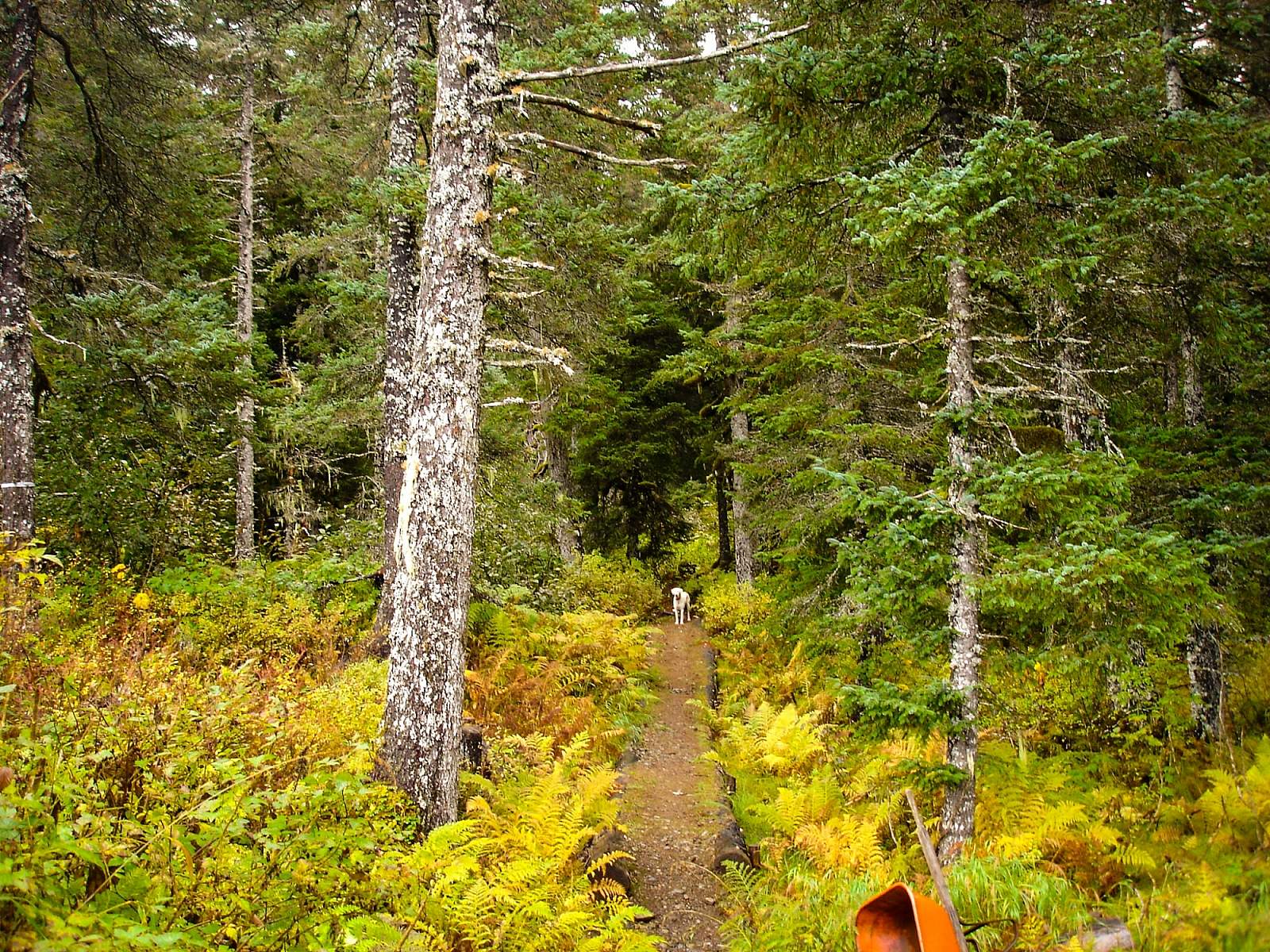
Expect a winding trail as you head through the forest and tall alder patches. On the Rocky St. end of the trail, you’ll find pretty steep terrain, but if you get a little winded, you’ll have a great excuse to take a break at the top of the trail pitch: The views of Seldovia Bay and the village are fantastic. Keep in mind, though, that there may be bears around here, so remember to make noise while hiking. You might also see a lot of other wildlife, too: eagles, hawks, warblers, thrushes, coyotes, and perhaps even a wolverine.