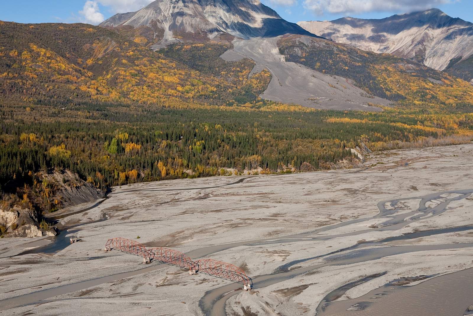
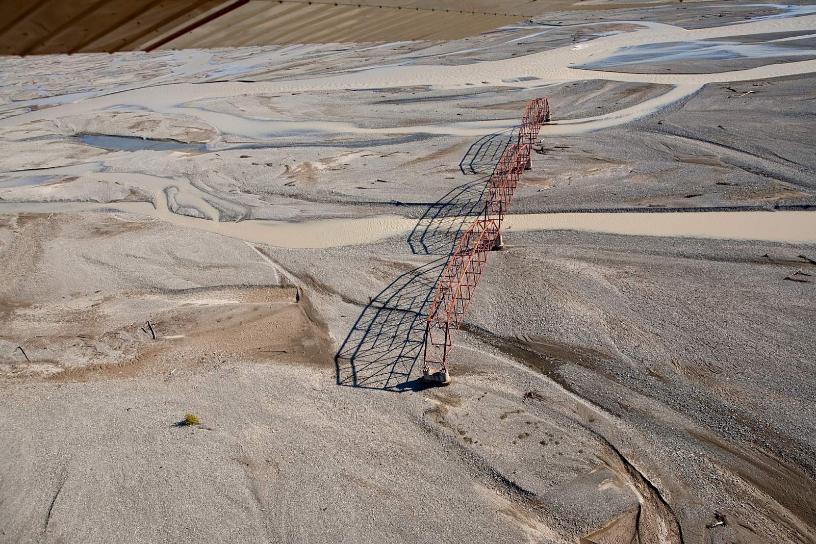
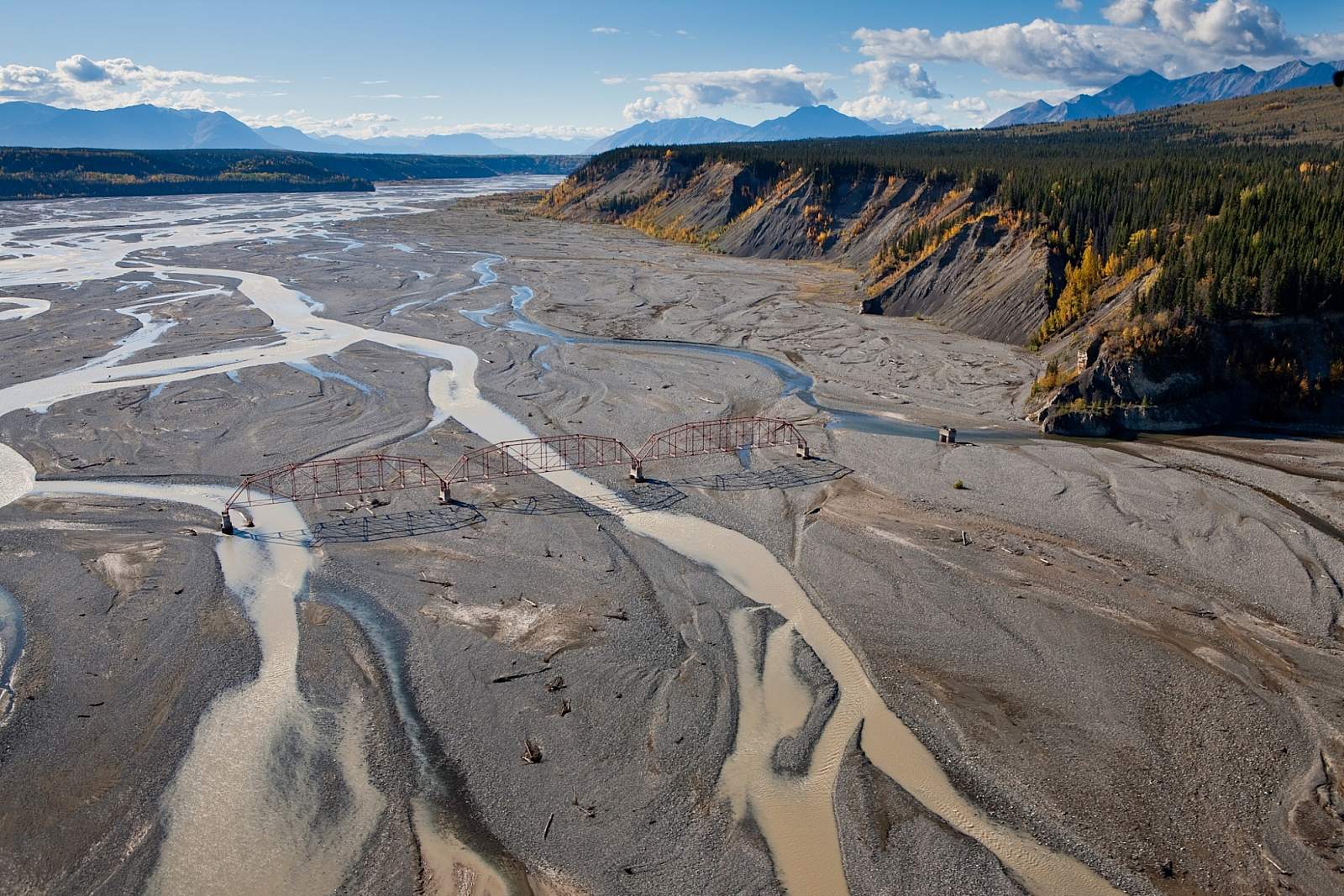
Built in the 1920s, this bridge helped prospectors cross the Nizina River and reach the gold camps at Chititu Creek and Dan Creek. The glacier-dammed lake near here caused flooding with some regularity—and as result, would wash out the bridge with some regularity. The bridge finally washed out for good in the 1960s, after being repaired many times. Today, three metal spans are all that's left, as well as the remnants of the concrete pilings engineers used to drive into the riverbed every time the bridge washed out.
When you're here, look in the brush along the shore and you can even see an old metal pile driver. Right past this area is the Sourdough Rock Glacier, which has a lot of interesting patterns in it. It's even made it into National Geographic a few times as a classic example of a rock glacier.