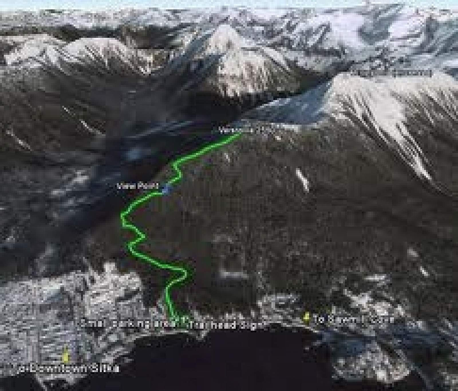
Difficulty: Difficult
Distance: 5 miles
Elevation Gain: More than 1,500 feet
Type: Out-and-Back
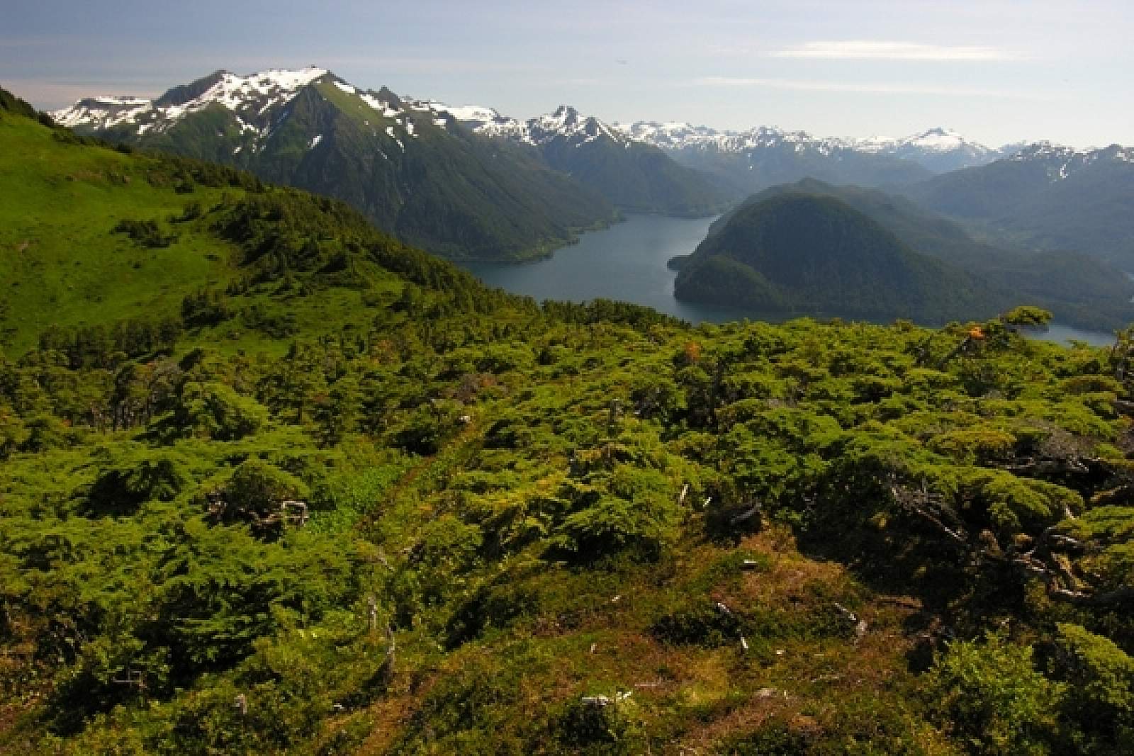
This is a big climb: you’ll gain 2,550 feet en route to the summit. And you can continue along an alpine ridge to the next summit (about one hour), Arrowhead, which sits at 3,300 feet! If you make it to these peaks, you’ll be rewarded with big views and a beautiful alpine environment. And the trail can be accessed via public transport.
The trail is challenging, even though it follows a well-developed route. You’ll enter hemlock-spruce forest, part of which (the lower slope) was logged by the Russians in 1860. There are signs for Russian charcoal pits, though it’s hard to see much evidence of them.
There will be a lot of switchbacks and a long steady climb that takes about 2 hours before you’ll get out of the trees. There are a few nice viewpoints where the forest opens, but the big views come near the top. You may encounter snowfields as you approach the summit, or—in mid- to late-summer—brushy meadows and wildflowers. Eventually you’ll be in the rocky alpine world that’s familiar to mountaineers!
For extended time in the alpine, which is a must on sunny days, follow the ridge to the dominant Arrowhead peak.