Mount Marathon rises right behind Downtown Seward—a steep, rugged mountain known for one of Alaska’s most famous races and some of the best views of Resurrection Bay.
Every Fourth of July, racers scramble to the top and back in one of the state’s oldest traditions. But you don’t have to race to reach the top. Hikers can take a well-marked trail for a quieter, steadier climb. Whether you’re here for the race, the view, or just a good leg workout, Mount Marathon delivers.
The Mount Marathon Race
According to local lore, the Mount Marathon Race started when two sourdoughs wagered whether the mountain could be climbed and descended in under an hour. "Impossible," one said. A race was held, a crowd gathered, and the loser bought drinks. The winner? He took one hour and two minutes.
The 3.1 mile race with an elevation gain of nearly 3,000 feet was formally organized in 1915 and has grown into one of Alaska's most iconic events. It’s also the oldest mountain race in North America. Every July 4th, the town of Seward explodes with energy as racers and revelers descend to witness or attempt the grueling feat.
Over time, the event has expanded:
- 1985: First official women's race (54 finishers)
- 1994: Juniors began racing
- 2005: Senior races adopted staggered starts
- Mini Marathon: Even toddlers toddle a few steps to glory
Race Day is the centerpiece of Seward’s 4th of July Festival. Spectators line the streets, cowbells ring, and the air buzzes with excitement. But for the racers, it’s all grit and glory. The lucky (and skilled) touch the famous boulder at Race Point—the race's turnaround—before hurtling back down the mountain.
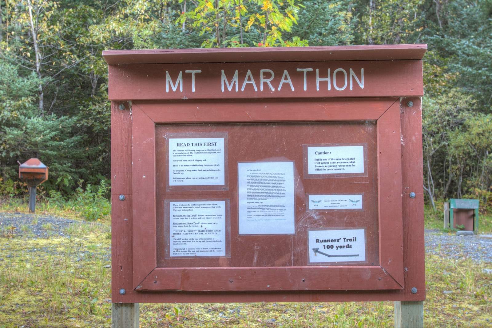
Hiking Mount Marathon: Choose Your Challenge
Whether you're a casual hiker or a thrill-seeker, Mount Marathon offers two main routes to the top—each with its own reward. Local author and hiking enthusiast Shawn Lyons provided us with a description of both so you can decide the best route for you:
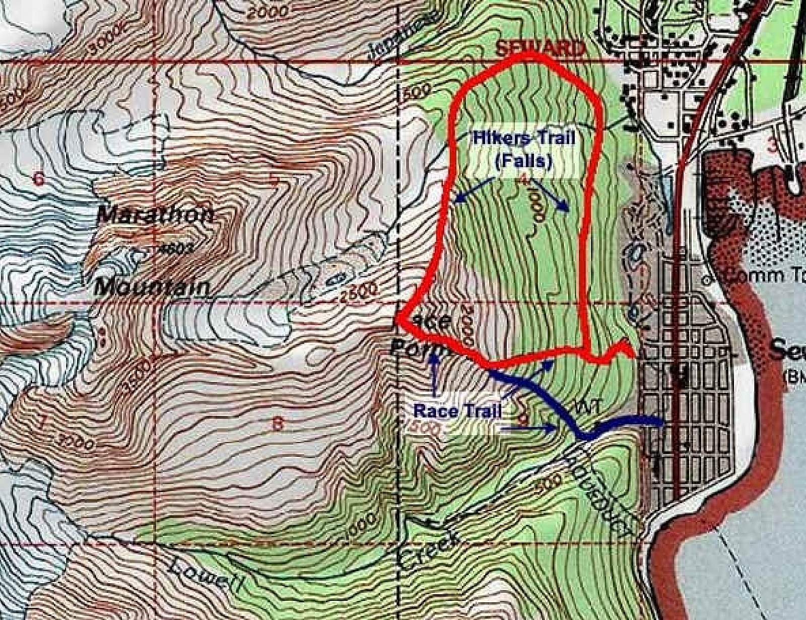
The Race Route (For the Bold)
Start at the end of Lowell Canyon Road. The trail quickly climbs through forest and enters "the Slot" – a narrow, nearly vertical chute alongside a creek, requiring hand-and-foot scrambling. After passing treeline, the trail becomes a scree path snaking steeply across the mountain face.
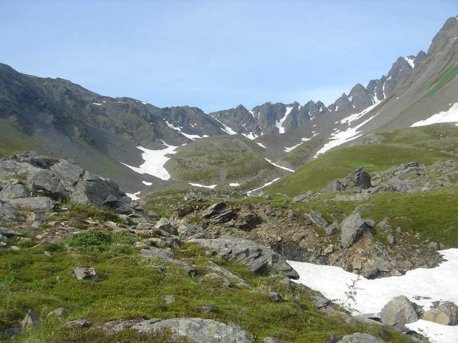
Just before the top, the harsh rocks give way to a surprising alpine meadow. There you'll find the legendary 5-foot-wide boulder marking Race Point at 2,950 feet. This is the race turnaround, though not the mountain's summit.
On a clear day you can look straight across a glacial cirque to Mount Marathon’s precipitous south face. If you’re brave enough to go farther, there’s a trail leading up the ridge behind Race Point worth exploring. Though it doesn’t go far before petering out in some very rugged and treacherous terrain, it does offer some dramatic views into the deep valleys to the left and right of Race Point.
If you don’t want to go farther than the racers do, when it’s time to descend, you may not relish going down the way you came up. The racers don’t go down the same way, either. Instead, after circling around the Race Point boulder, they start down the northeast ridge of the mountain, to where the route drops off the ridge and back onto the mountain’s face. There, a steep, loose-gravel trail allows racers to literally bound down the mountain.
If you don’t want to cross the face of the mountain again, continue straight past the racer’s route and follow the hiker’s route down the ridge into the valley on the left. After dropping into that valley, you’ll cross the base of the mountain back toward Lowell Canyon Road where you began.
Thus you can complete, with some variation, the most exciting part of the Mount Marathon Race Route!
The Hiking Trail to Race Point (Recommended for Most)
Many hikers aren’t aware there’s also a hiking path to the top at Race Point—and it’s far less demanding. This 4.5-mile round-trip hike uses three connected trails and offers a more forgiving ascent with some incredible views.
Starting from the gate at Madison Avenue, you’ll climb the wide Jeep Trail. It’s steep at first, but once you gain some elevation and enter the rainforest, the grade eases. Take your time and enjoy the fresh, earthy scent of the forest air.
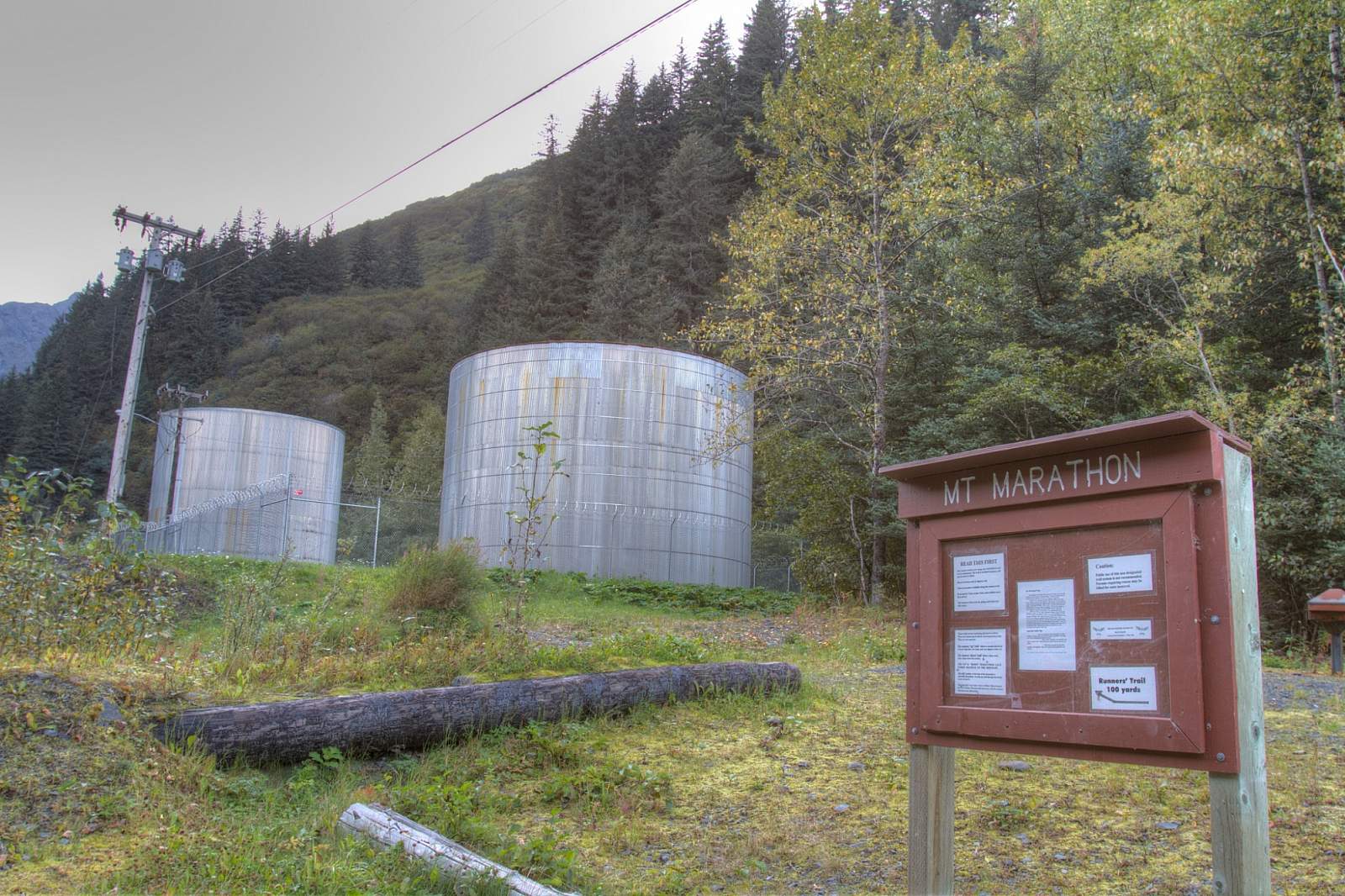
Past the cistern near the treeline, the trail contours across the mountain face. Gaps in the spruce trees reveal Resurrection Bay and glacier-clad peaks in the distance. These glimpses build anticipation for what’s ahead.
Eventually, the route steepens again as you ascend to a higher shelf and enter a glacial valley below the mountain’s north face. Here, you’ll walk among alpine meadows, possibly spotting mountain goats or hearing ravens overhead.
The final push follows the Skyline Trail up the east buttress. The trail twists upward through alpine terrain with sweeping views of the bay behind you. Soon, you'll reach the Race Point boulder at 3,022 feet—the high point of the race. But unlike the racers, you can sit, have a snack, and take in the entire length of Resurrection Bay before heading back down.