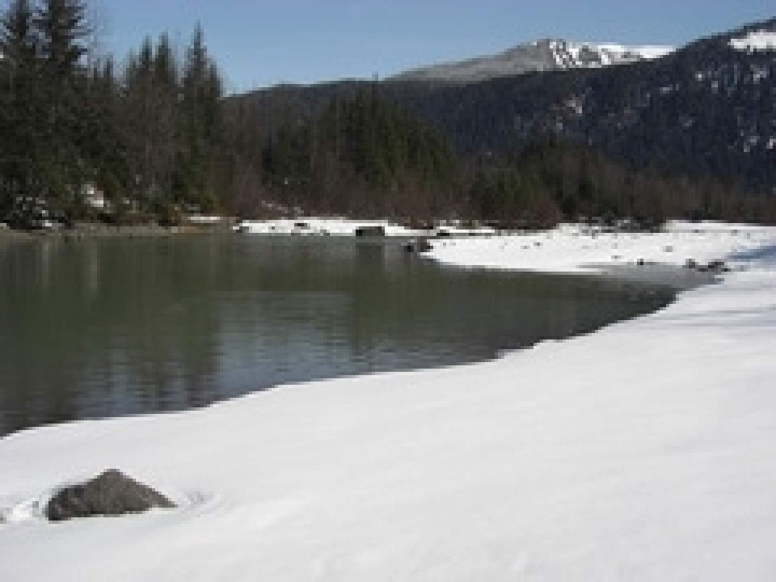
This is a wheelchair-accessible trail that follows the Mendenhall River greenbelt area, starting at Brotherhood Bridge off Glacier Hwy. The name is Tlingit for "going back clearwater trail." Expect a lot of traffic. The trail is 2-miles long, paved, and provides one of the great views of Mendenhall Glacier, beginning at the Brotherhood Bridge trailhead. In mid-summer, over a flat field of iris and fireweed, the Mendenhall rises between McGinnis Mountain and the Sawtooth Peaks. The trail is great for hiking, biking, or jogging and in winter the cross country skiing is excellent.
Kaxdigoowu Heen Dei (Mendenhall River Trail)
Distance
2 miles
Difficulty
Easy

Photos