Why Float This River
The John River is a classic stretch of arctic river: scenically spectacular, clear with good fishing, great hiking in the upper reaches, no dangerous sections of river and lots of wildlife viewing opportunities. It flows swiftly, south out of the arctic interior through Anaktuvuk Pass into the rugged Endicott Moutains and represents a path from the Inuit culture of the north to the Athabaskan culture of the forested interior. To the north, Anaktuvuk Pass is the southern most Inuit village. To the south lies Bettles, one of the furthest north Athabaskan villages and the John river has long been the corridor through which all would travel between the two places whether trading or warring! There are three distinct trips one can do on the John. It's headwater trip represents an arduous challenge which requires the dragging of boats up to 5 miles down the small creek out of Anaktuvuk Pass town site to where it becomes a swift continuous Class III run for 35 miles. The middle section and the lower sections represent more moderate to easy trip difficulty. It is 135 miles at its full length with the100 mile section the most popular stretch and takes 7 days to do.
Put In
The headwater starting point is the town of Anaktuvuk Pass and can be reached by regularly scheduled flights from Anchorage or Fairbanks.
The most popular starting point for most trips down the John River is Bettles, Alaska where flight operators are based and where flying in to Hunt Fork Lake above the Hunt Fork River in a floatplane can be arranged. This is the start of the 100-mile trip.
There is a gravel strip at the Allen River and Sixty-mile Creek area, and is at the start of an easy Class I float with a strenuous take out. There is an operator out of Coldfoot, Alaska that flies in and out of this region as well. Both destinations can be accessed by the Dalton Highway from Fairbanks, Alaska.
Take Out
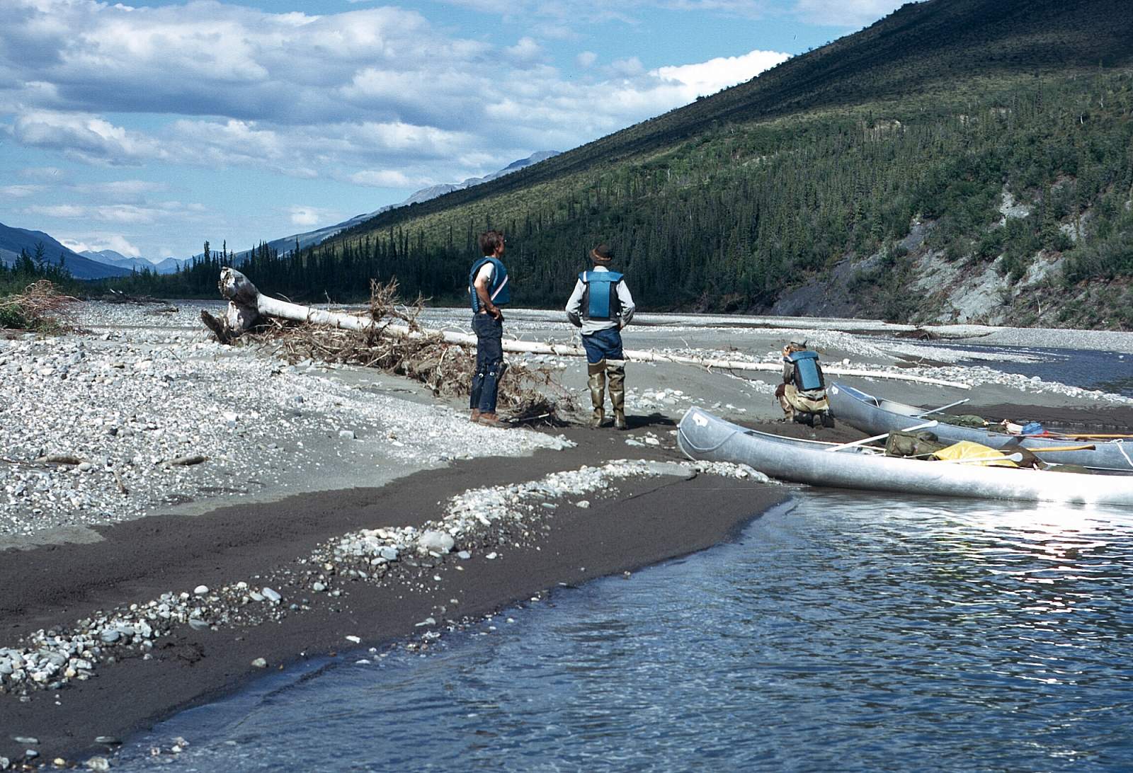
The take out is reached at the end of the John River trip by lining your boats up a good shore of the Koyukuk River to across from where Bettles is located. It is a 5-mile distance but is not a difficult operation yet does require quite a commitment. Arrangements could be made to be met by skiff and get towed up to town. OR you could continue floating 60 more miles on the Koyukuk River to Allakaket. The trip is about 100 miles if you take out in Bettles and you should allow yourself 5 to 6 days for the float and a half-day to line up to the Bettles airstrip. Add another 3 days to go on to Allakaket.
The Trip
Anaktuvuk to Hunt Fork: 35 miles
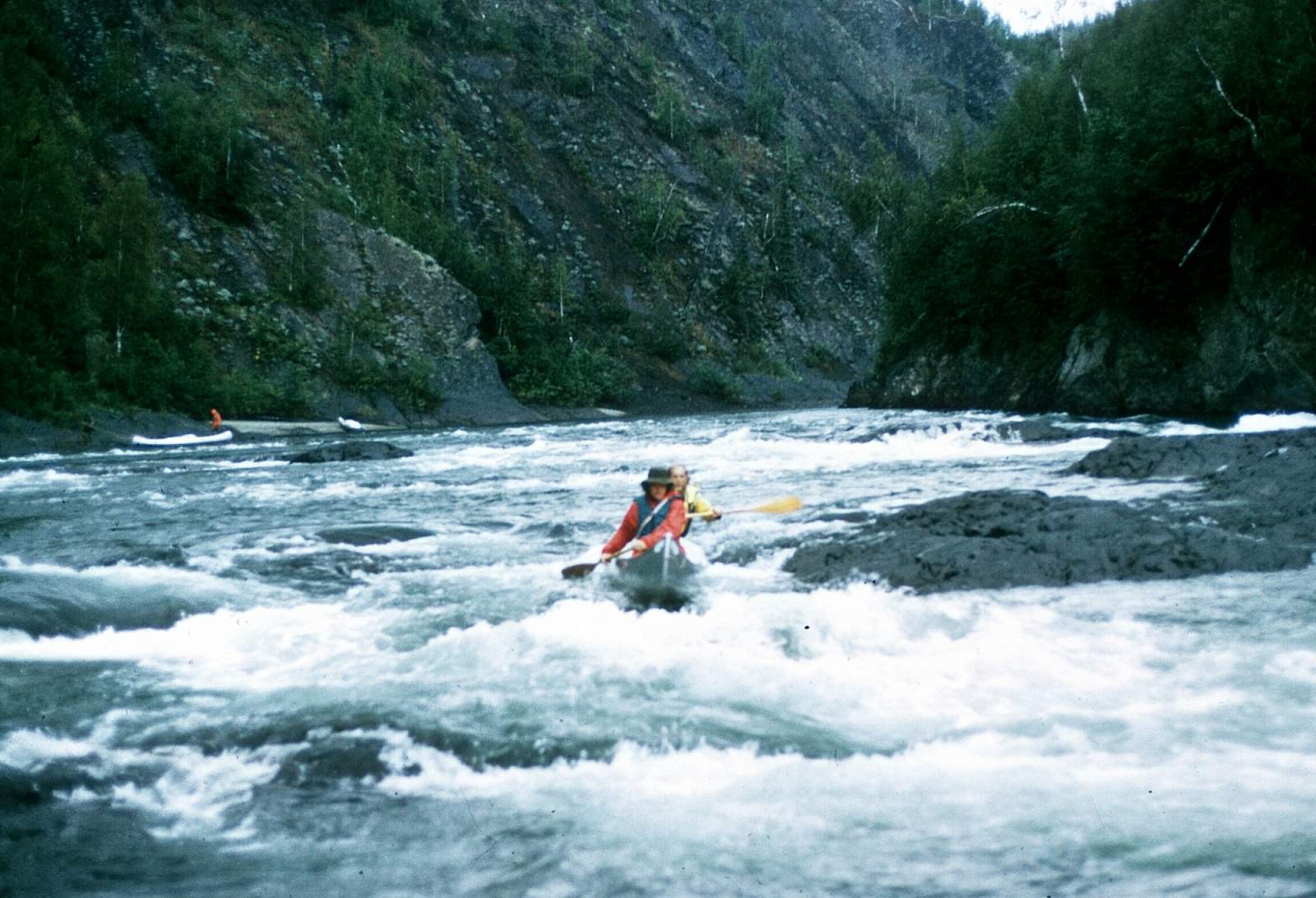
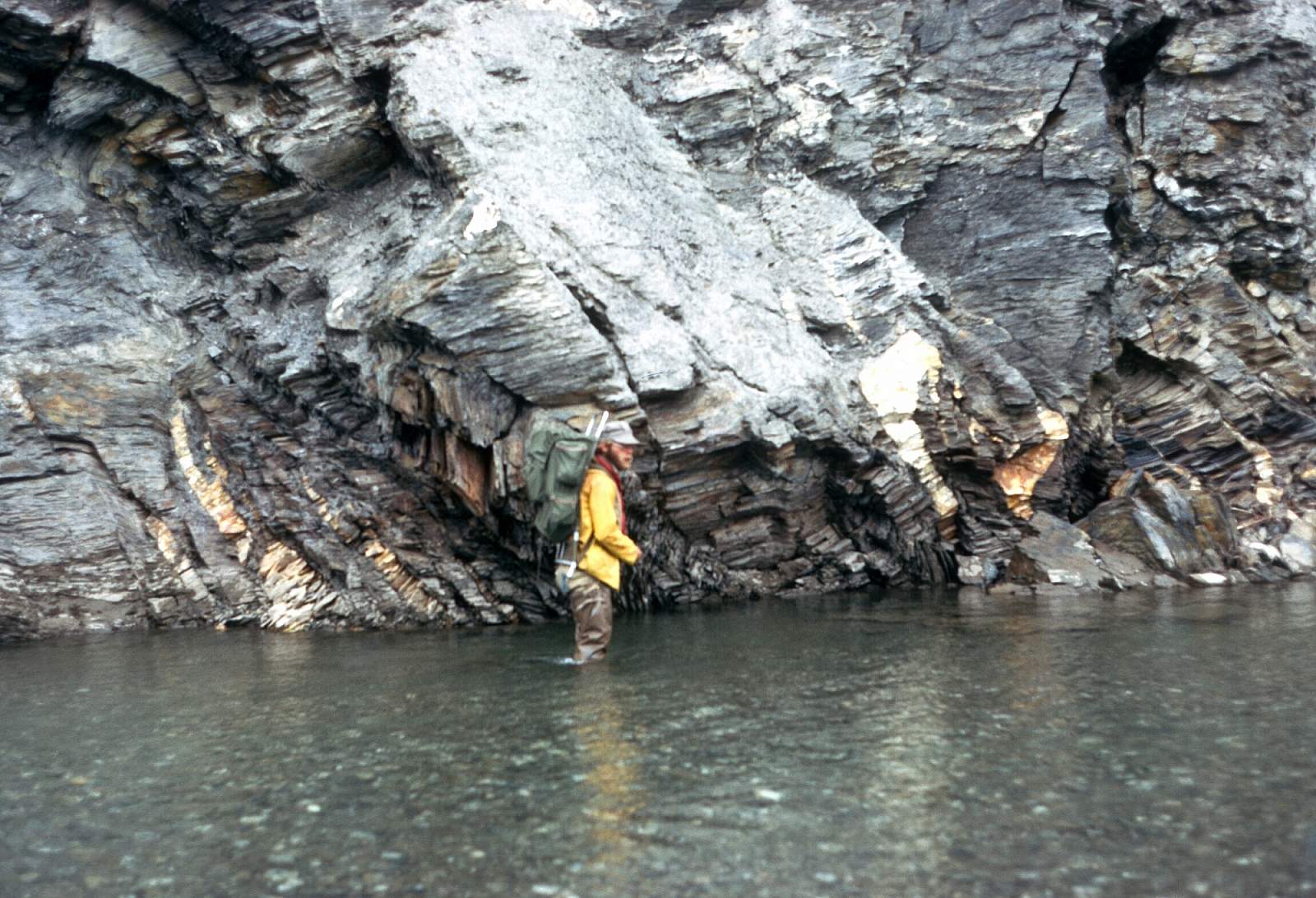
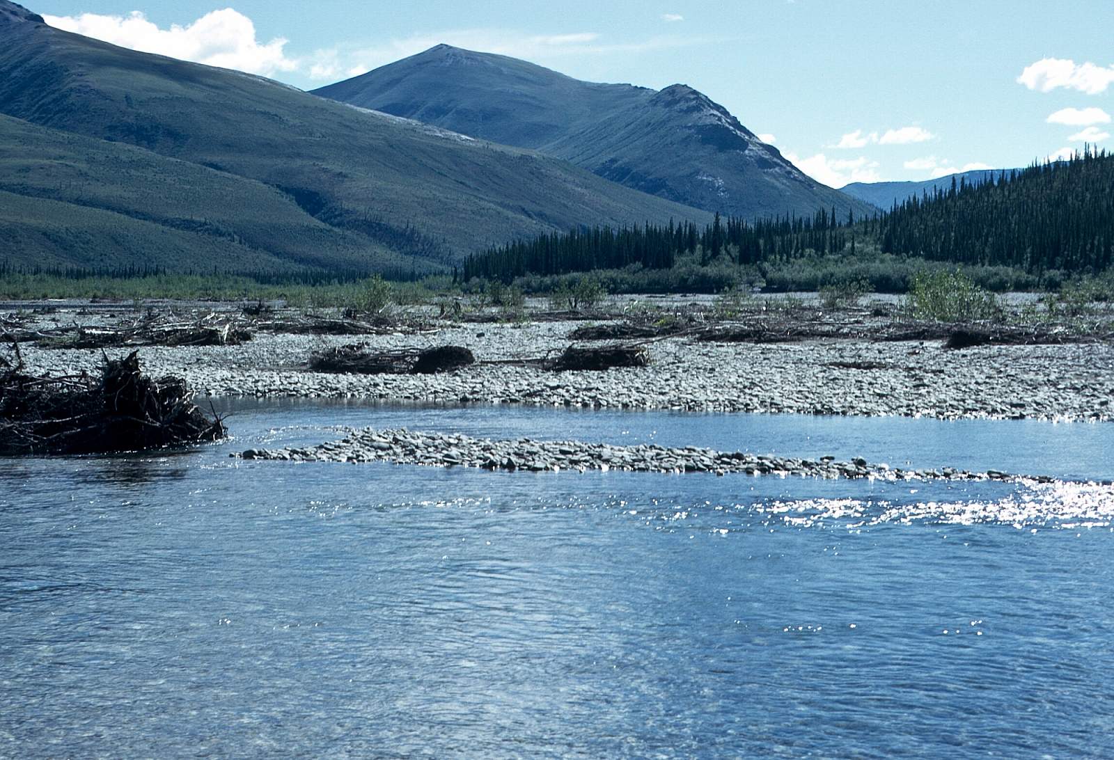
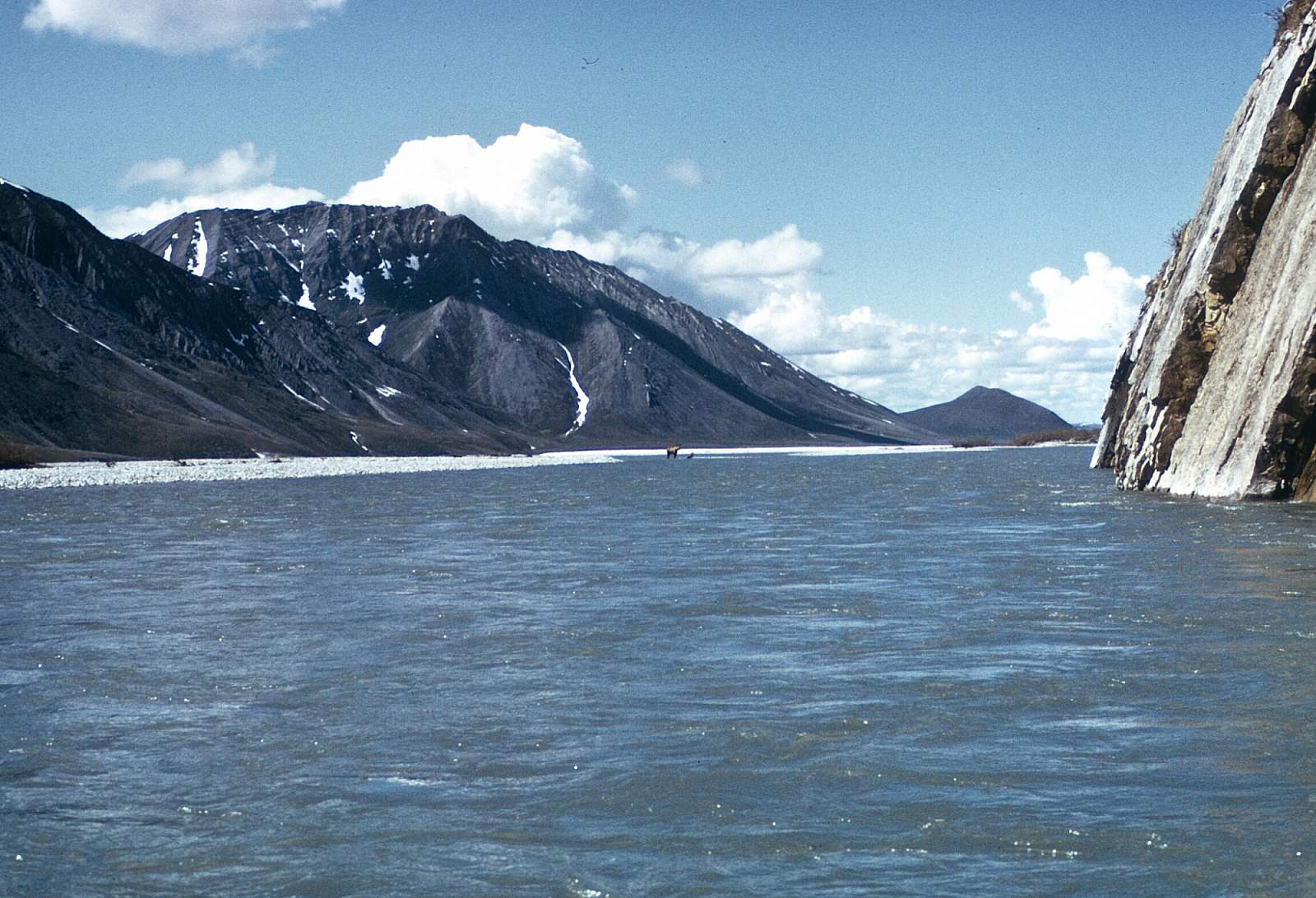
This stretch of river is rarely with enough water to make it an easy float trip. For starters you have to carry all your gear from the airstrip to the small stream that is the John River and for 5 to 6 miles you will have to drag and line your boat. The next 30 miles is often a continuous boulder-choked Class III run down to where the Hunt Fork joins the river. This is a stretch for experienced paddlers as the challenges are many. From Kollutuk Creek to Cairn Mountain is a continuous Class III with swift braids, boulder gardens and steep gradient.
Hunt Fork to Allen River: 47 miles
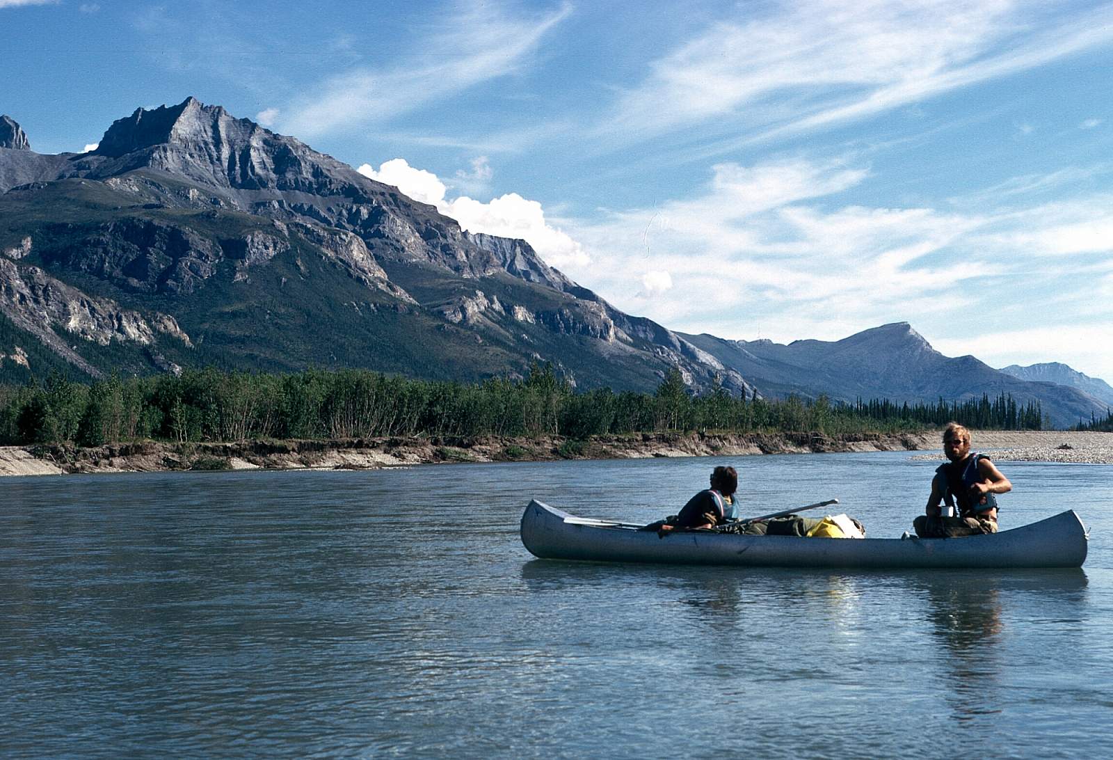
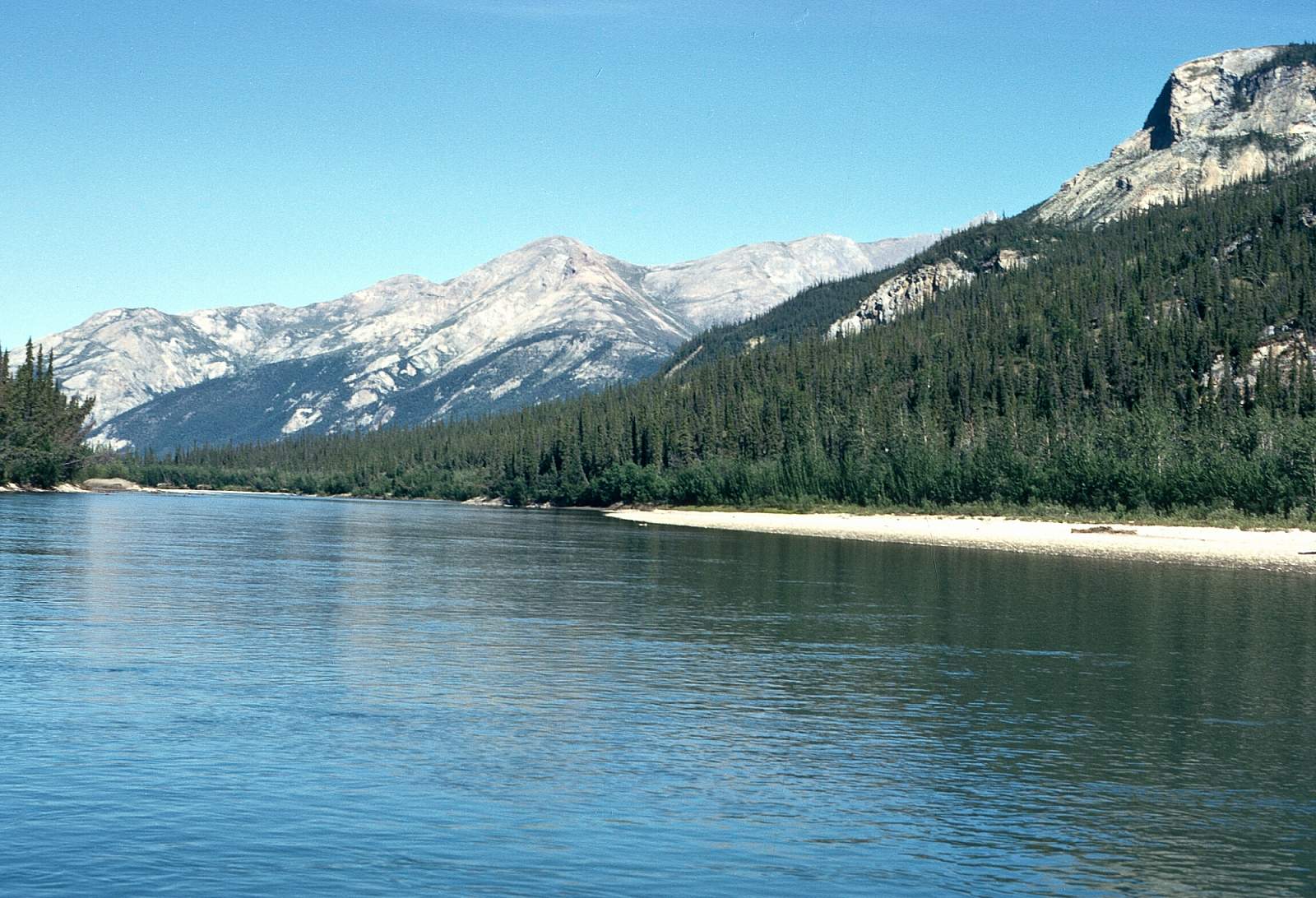
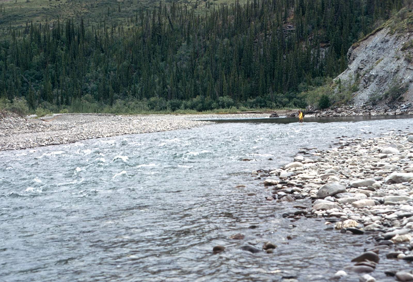
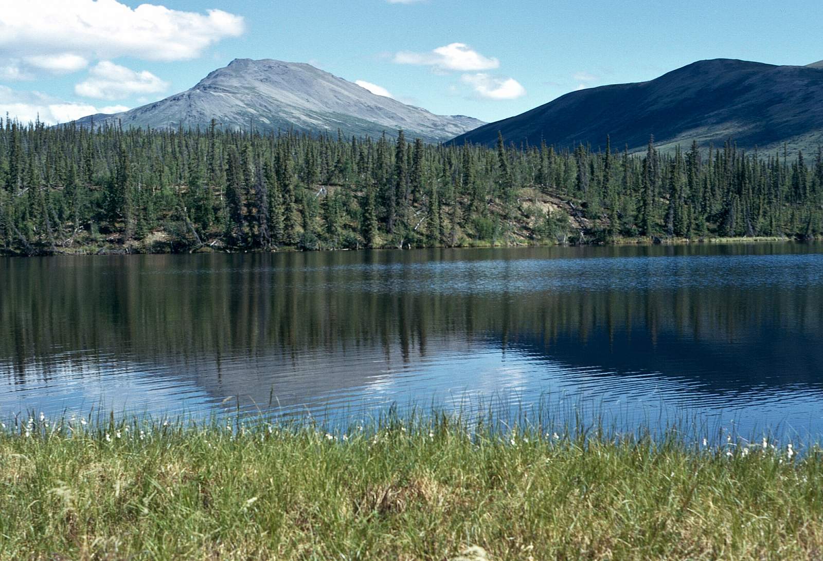
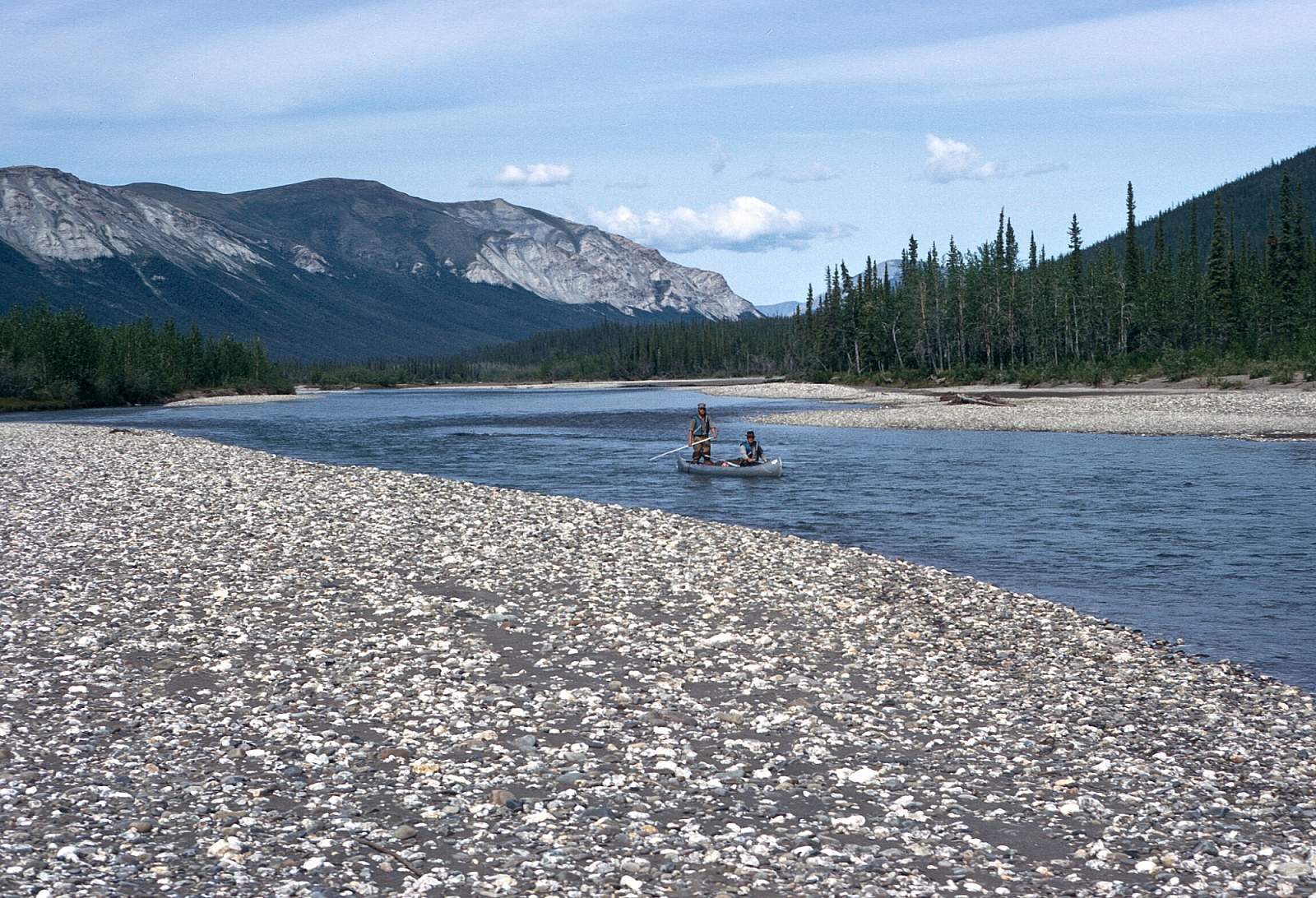
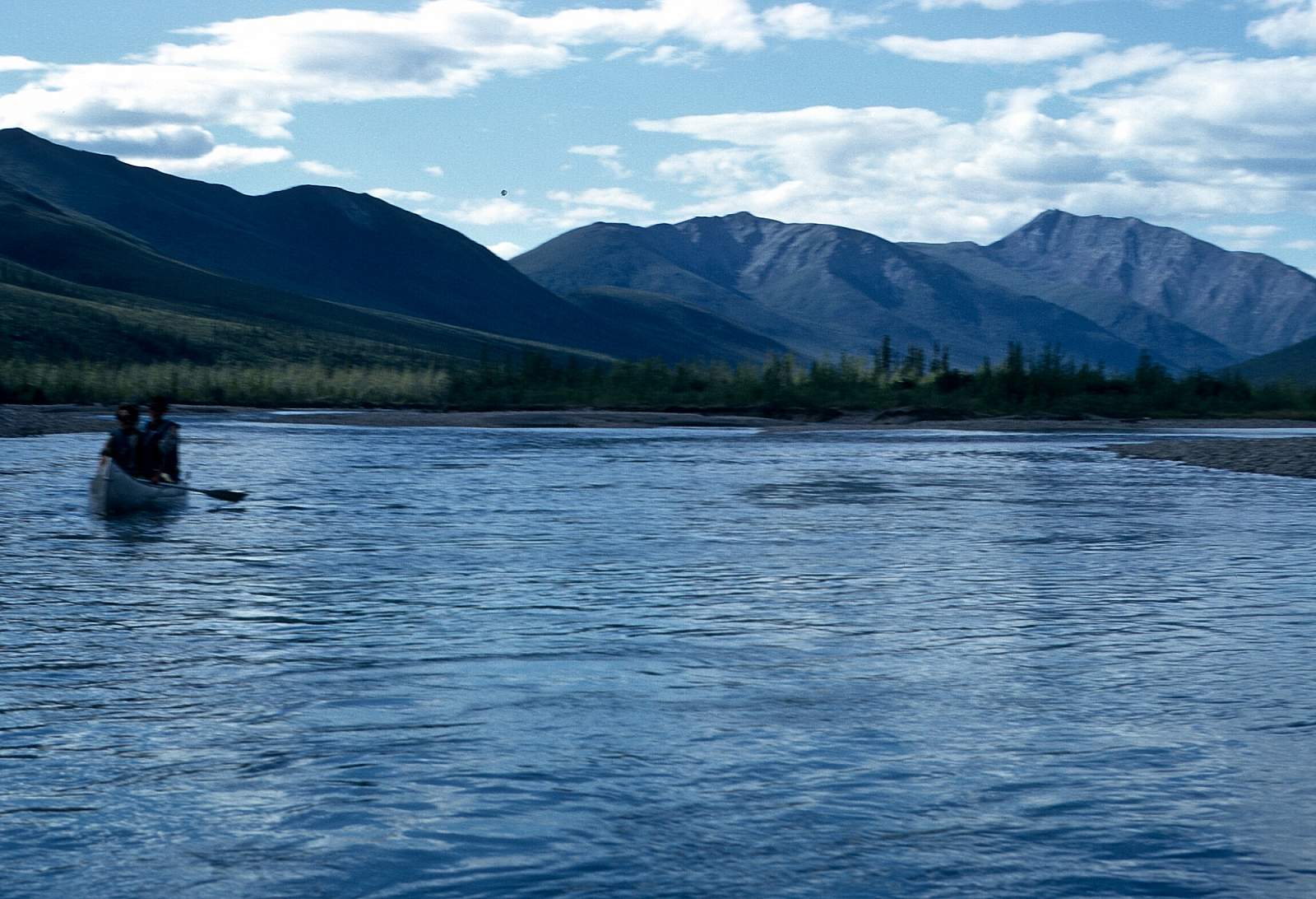
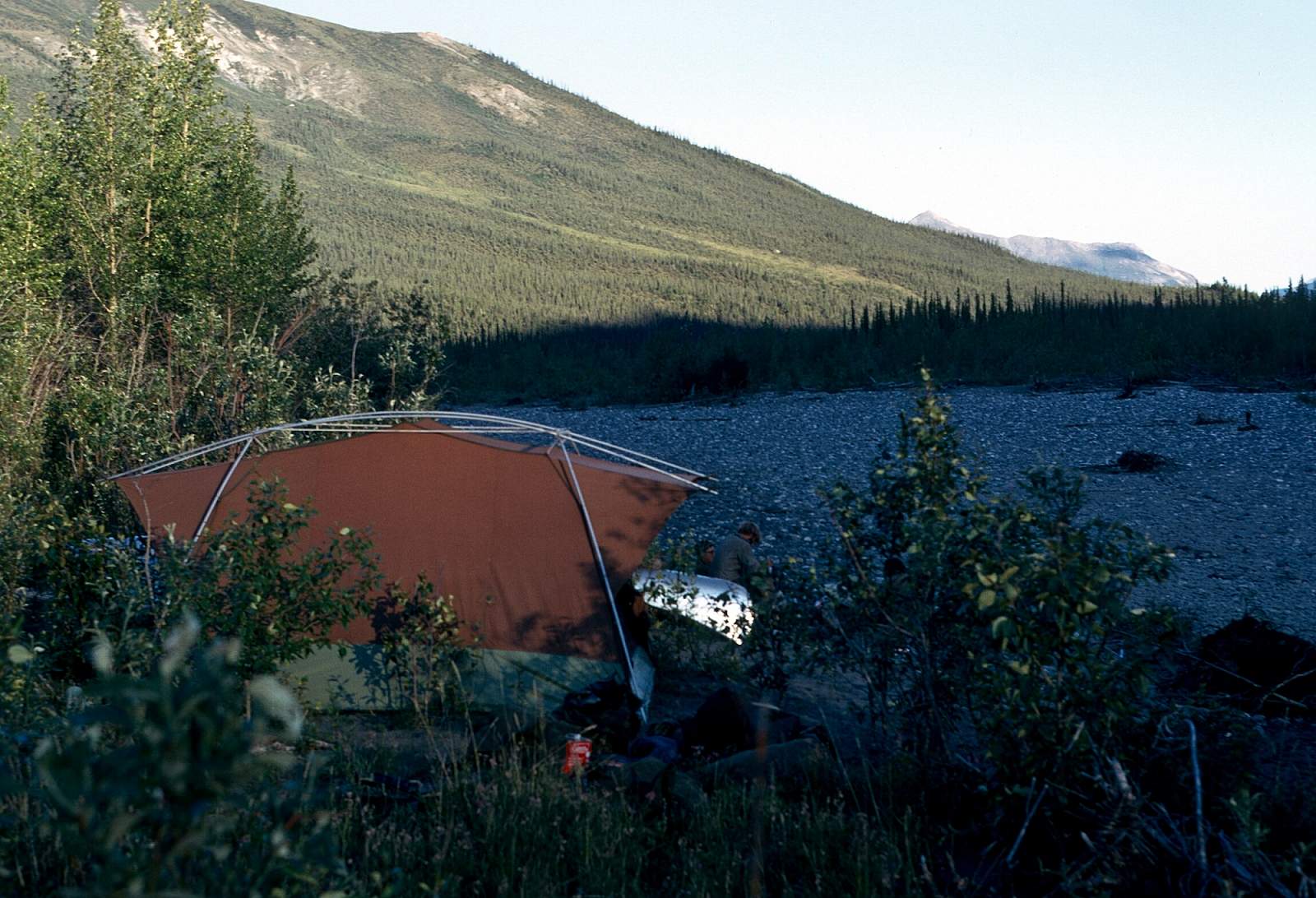
This is the recommended starting point as the river will have enough water at most times to enjoy the float. From the lake, there is a short half-mile carry to the Hunt Fork and it is a half-mile float to the confluence with the John. Most groups will spend several days here as the hiking is excellent and it gives you time to move your gear to the river's edge. The river beyond Hunt Fork is 30-40 yards wide with an average depth 2 feet, and 5-6 mph current. Much of the distance river is braided with extensive gravel bars and many fast riffles. The water is extremely clear with visibility to the bottom of 5-6 foot holes.
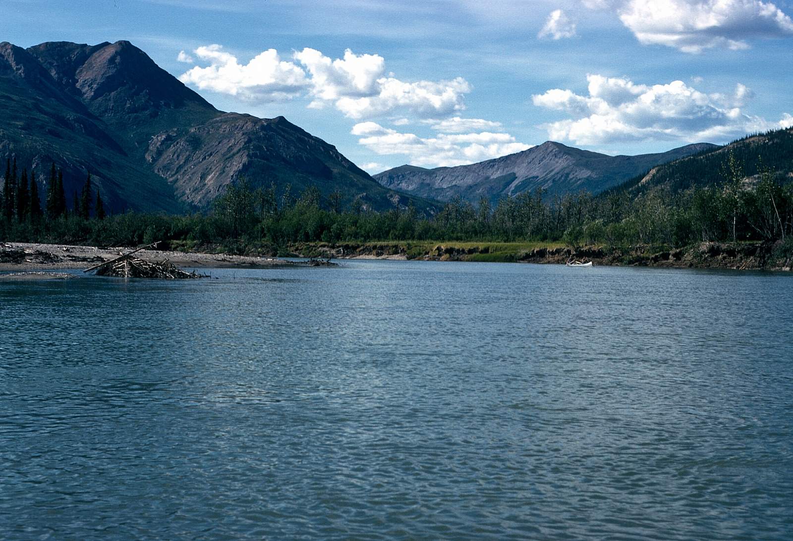
Allen River to Bettles: 53 miles
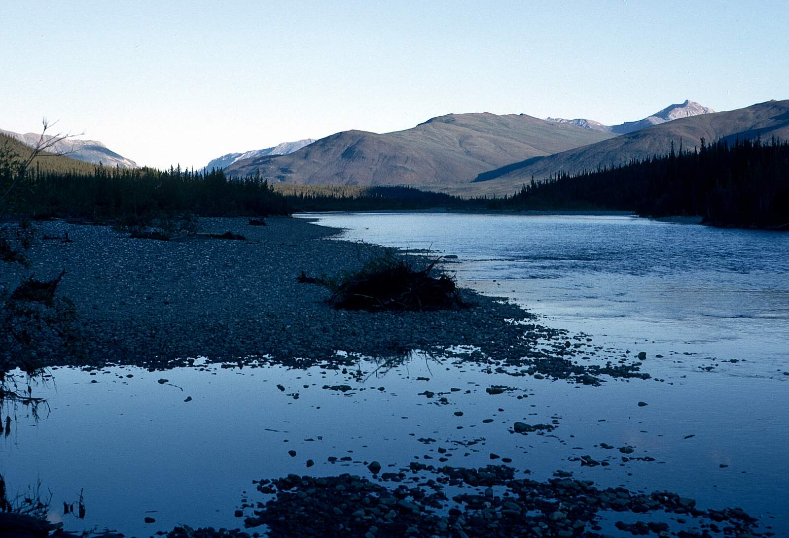
A half-mile below is Crevice creek and half-mile walk up it is the Fikes family homestead. The Fikes have the only real homestead in this part of the arctic with a log house, front lawn, airstrip, barn, 25 acres of hay and oats, 4 or 5 horses, 20 chickens and 4 geese. He makes money principally through guiding hunters in August and September. The river here is now only Class I and there is up to 3 mph current, but it can be a slow leisurely float the whole way to Bettles. There is great hiking and many good campsites along here. Once you reach the Kuskokwim River you will need to line your boats the 5 miles up to Bettles. Most groups will spend 3 hours lining canoes upstream, 5 miles to Bettles Field. Lining is very easy from large gravel bars and requires ferrying across the river only 4 or 5 times.
John River GPS Coordinates
Bettles
Take out is a simple process of floating to the town of Bettles, which sits on the banks of the Koyukuk 5 miles above the John River confluence. Take Out Option for the North Fork. Take Out Option for the North Fork. Take out option for the North Fork.
66.92266000, -151.51866000
Hunt Fork Lake
The most popular starting point for most trips down the John River is Bettles, Alaska where flight operators are based and where flying in to Hunt Fork Lake above the Hunt Fork River in a floatplane can be arranged. Put in option for John River.
67.73333000, -152.41667000
Allen River at Sixty Mile Creek
There is a gravel strip at the Allen River and Sixty-Mile Creek area, and is at the start of an easy Class I float. Put in option for John River.
67.73333000, -152.41667000
USGS Maps
Wiseman A-4, B-4, B-5, C-5, D-5
Bettles D-4
Chandler Lake A-4
Distance
100-135 miles
Days
7
Difficulty
Moderate
Class
I, II, III
Craft
Canoe
Kayak
Raft
Cost
$$$