Why Take This Hike
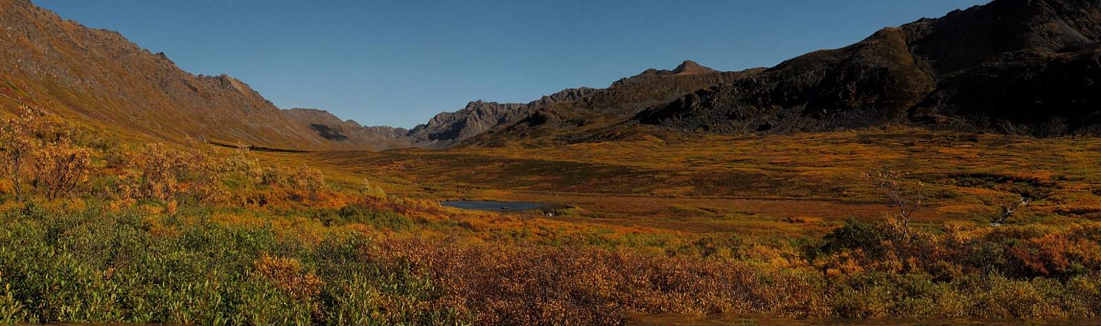
This 4.5-mile trail, some 2 hours north of Anchorage on the west side of Hatcher Pass, climbs 1,000 feet up a very typical Talkeetna valley—long, broad, and lined with towering peaks on both sides. It also passes by relics and ruins of old mining days, when these valleys echoed with the sounds of picks and drills.
The Details
Just reaching the beginning of Craigie Creek Trail makes for an adventure. The drive there takes you up Fishhook-Willow Road, over the crest of Hatcher Pass, and down the west side for almost 5 miles, passing the Enserch gold mining and milling station along the way. You’ll then come to a road on the right that leads into the parking area.
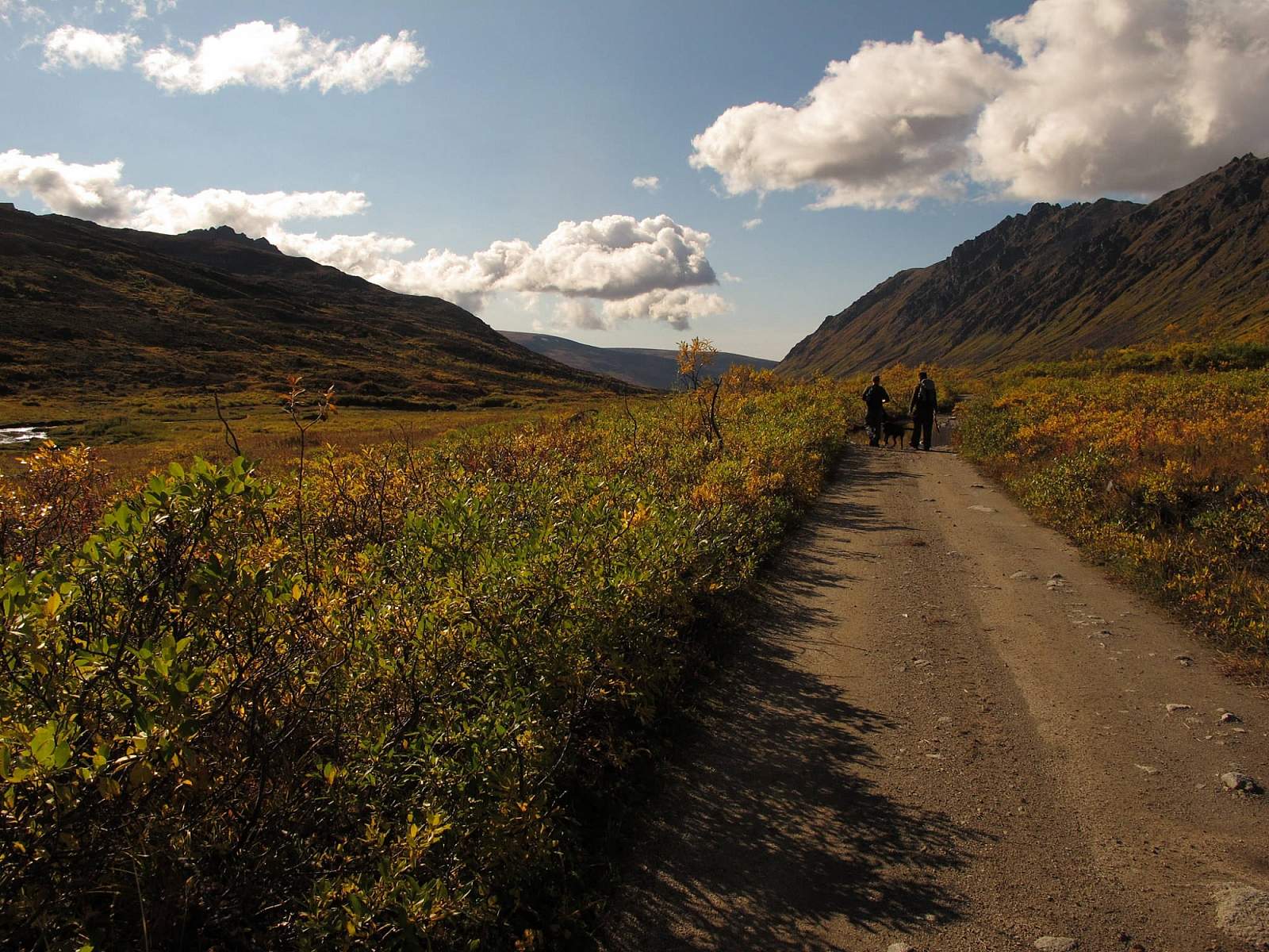
From almost the moment you start hiking, you can see the upper end of the trail at Dogsled Pass. But it will take a while to get there—plenty of time to think about how you’ve begun your hike on an old mining road. This old road leads you 2.5 miles straight up the valley to a small cluster of mining buildings—the only remains of the once-thriving Gold Bullion Mine camp and mill. Years ago, the air would have been filled with the yells of workers, the hum of drills, and the churning of the mill. But today the miners are gone, and the remnants of their stay—the buildings, the machines, and even some tools—sit silent, home for shrews and birds.
The trail then passes through the first of two big moraine walls that cut across the valley, evidence of the area’s ancient geological history. After passing through the second wall of moraine, the trail climbs more steeply; in another 0.5 miles it ends at the crest of Dogsled Pass (4,250 feet).
Don’t hurry to turn around and return to the car. If you climb to the far side of the pass, you’ll reach the secluded tarn known as Schroff Lake, where you can look out over the broad upper valley of Purches Creek. While the mountains and ridges surrounding this valley offer many adventure opportunities, they’re best left to those with extensive off-trail experience.
Visit these mountains enough, though, and you can garner such experience. It takes time, but the reward will be worth the effort, and many fine discoveries will happen along the way.
(For more, see Walk-About Guide to Alaska, Volume Three by Shawn R. Lyons)