Willow Parks & Trails
Show Map
Parks & Trails
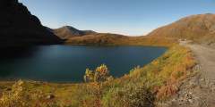
This is a popular, 4.3‑mile-long (8.6 round-trip) trail located 2 hours north of Anchorage in the Hatcher Pass area. It’s also gorgeous. At one point it climbs directly alongside a sheet of waterfalls falling from a wide granite ledge. As the trail winds its way to these falls, it passes the lake into which the falls drain. And after the falls, the trail ends at the tarn from which the falls drain. In other words, hike this trail and you’ll see a ...more
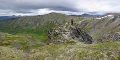
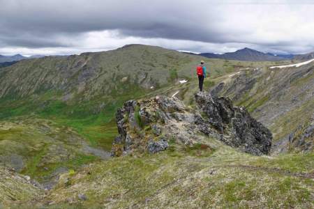
Want to feel dwarfed by Alaska’s mountains? Take a 2‑hour drive north on the Parks Highway and then up Hatcher Pass Road, where you’ll find this 2‑mile-long ATV trail — a wide but occasionally steep path that leads to the crest of Box Lake Ridge. From the big, rounded top of this ridge, you can’t help but feel overwhelmed by the enormous Talkeetna Mountains that surround you.
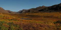
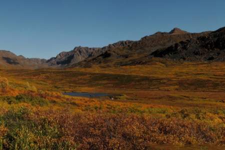
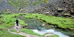
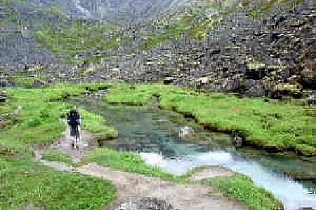
This 4.5‑mile trail, some 2 hours north of Anchorage on the west side of Hatcher Pass, climbs 1,000 feet up a very typical Talkeetna valley — long, broad, and lined with towering peaks on both sides. It also passes by relics and ruins of old mining days, when these valleys echoed with the sounds of picks and drills.
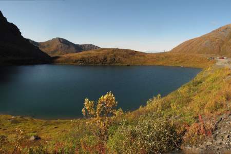
Summit Lake, located some 60 miles north of Anchorage at the crest of Hatcher Pass, offers a short, memorable lakeside ramble. Here you can explore the surrounding gullies and slopes or just sit and watch hang gliders drift out over the long Willow Creek Valley, which extends for miles from the west side of the pass.