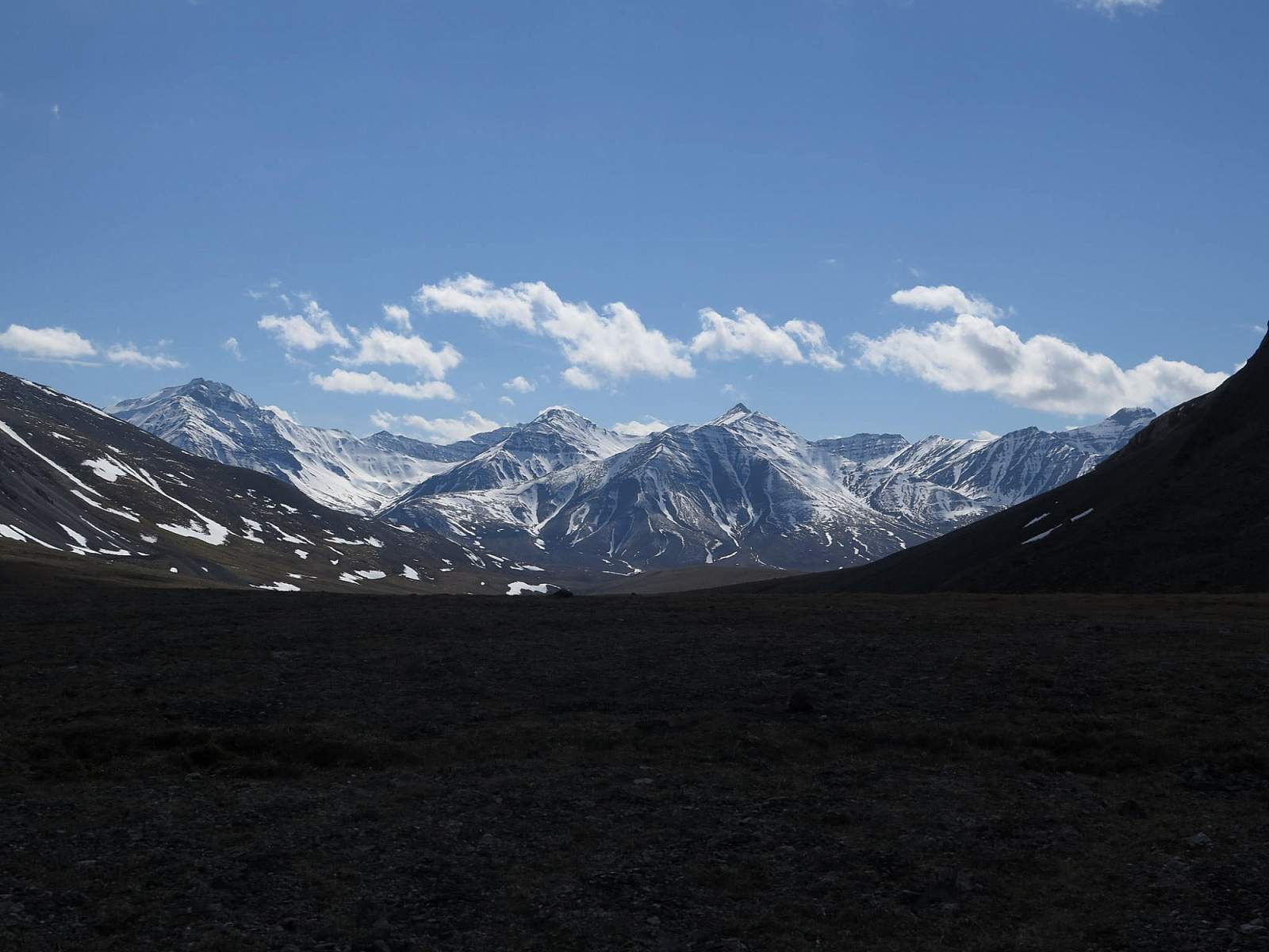
The Brooks Range has long called to backpackers and adventurers. This trip is a great “a-to-b” style route that allows backpackers to move through a large portion of the Brooks Range without depending on expensive and sometimes unreliable charter flights. After a culturally interesting start in the village of Anaktuvuk Pass, travelers are treated vast, trail-less wilderness, stunning views of snowcapped peaks and a high likelihood of close encounters with Alaskan wildlife.

When to Go
June in the Brooks Range can feel like winter and there is likely to be snow at higher elevations, but bugs are almost non-existent and statistically, June is the driest of the summer months. July means warmer temperatures and an explosion of wildflowers, but the worst of the mosquitoes. August is, on average, the wettest month, but the tundra begins to change into stunning fall foliage and the mosquitos are minimal. Pick which combination of pros and cons most appeals to you.

Route
From Anaktuvuk Pass travel east up the Anaktuvuk River. It will take a couple days to reach Ernie Pass, but if schedules allow spending a layover day or two exploring tributary valleys of the Anaktuvuk River is well worth the time. The most scenic of these valleys is the last northern tributary to the west of Ernie Pass, the headwaters of the Anaktuvuk River.
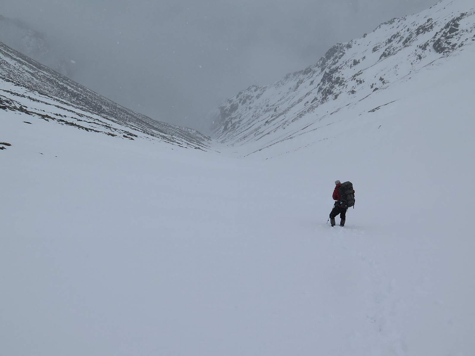
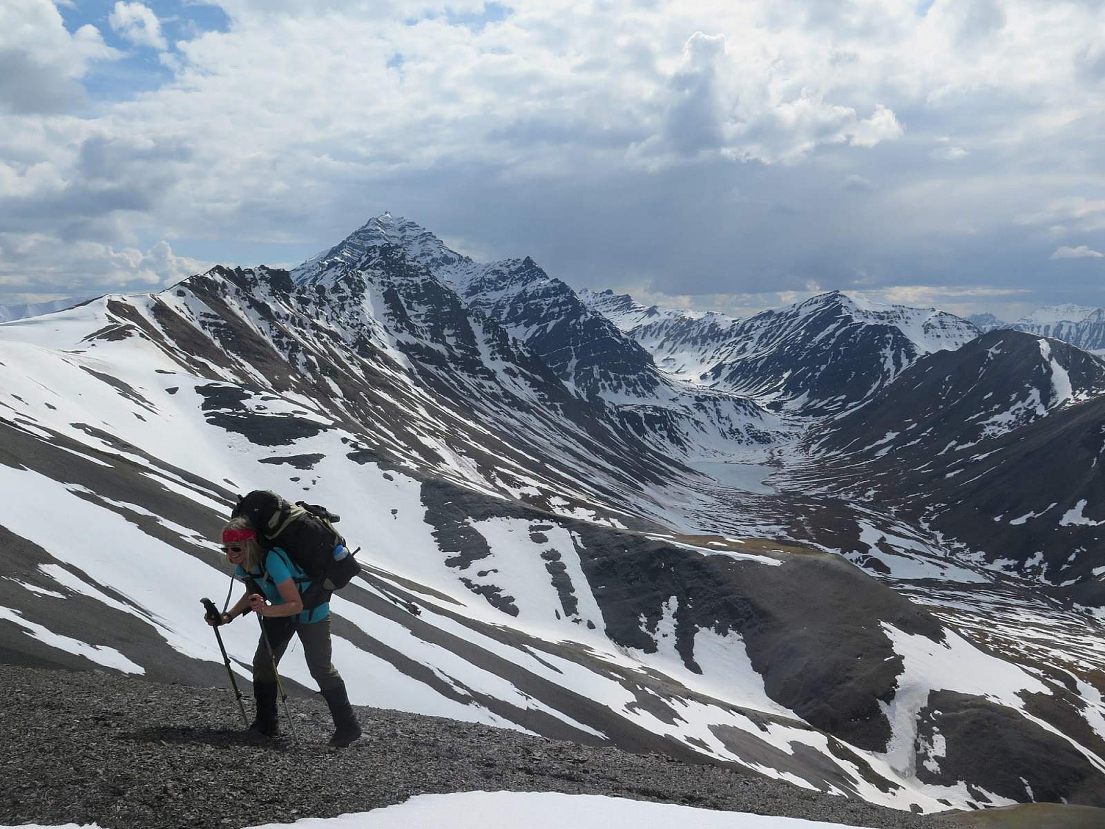
After cresting mellow Ernie Pass, travel east-northeast up Grizzly Creek to Peregrine Pass. Be prepared for avalanche danger in the pass if traveling in early June. Descend into the North Fork Koyukuk River. Bending northeast again, head for the Itkillik River and ascend to Oolah Pass.
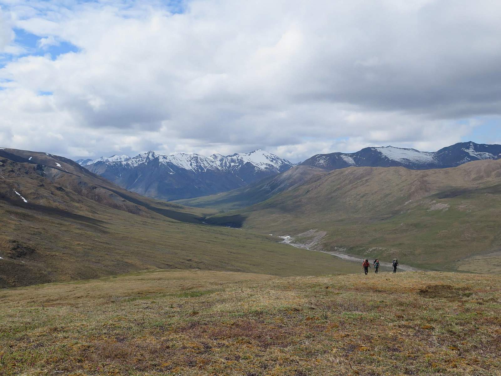
From Oolah Pass descend into the Kuyuktuvuk Creek Drainage. Vegetation will increase as you lose elevation. Crest one final ridge at a broad east-west pass located east of Kuyuktuvuk Creek, just as the drainage begins to angle southwest. From this pass, you can see the Dalton Highway and the end of your route. Descend to a small creek, cross the drainage and hike east toward the highway through the worst brush of the trip. Just before the highway you will have to cross the Dietrich River.

Tips for Success and Safety:
- Be prepared for a wide range of temperatures. Summer in the Brooks Range can deliver high 70s and brilliant sunshine, or snow and freezing temperatures.
- There are multiple creek and river crossings along this route. Alaskan rivers can easily injure or kill an inexperienced traveler. Research and practice how to safely cross rivers prior to your trip. Be prepared to hike to a better crossing, wait for water levels to drop, or to change plans if a river is uncrossable.
- Schedule layover days into your trip to wait out inclement weather or explore some of the spectacular side valleys on day hikes.
- If interested in the history, culture and lifestyle of the Nunamiut people of Anaktuvuk Pass, leave time to visit the great Simon Paneak Museum before departing the village.
- Be prepared for wet feet. The Brooks Range might be a desert, as determined by rainfall, but your feet will likely be wet for days at a time.