Why Float This River?
The Alsek is one of the great rivers of the world. It has been a waterway for hundreds of thousands of years and its mouth has the fifth largest discharge of water on the west coast of North and South America. It flows down through the heart of Kluane Provincial Park in Canada and runs through the largest protected parklands/biological preserves in the world. It crosses 4 major tectonic fault lines. It is part of a UNESCO World Heritage Site and travels along the edge of the largest nonpolar ice field in the world. There are endless superlatives describing the vastness and power of this river.
There is a 150-mile section of river that starts in the dry interior of the Yukon, flows past huge glacier faces, through swift whitewater, eventually ending on the Alaskan coast within Glacier Bay National Park and Preserve. It is graduate level river trip, not for beginners, and passes through the largest concentration of grizzly bears in North America. There is a non-runnable canyon that requires a helicopter to portage past. This is the Turnback Canyon made famous after the1972 solo kayak descent by Walt Blackadar. The river is strong and swift and most trips take 13 to16 days to complete. It has complicated logistics that stem from having to start in Canada and finish in Alaska with a takeout that requires flying. The helicopter portage is a mandatory situation. The icy winds out of the Ice field Range and the cold glacier water make this trip a major undertaking. Most people would be well advised to stop planning a trip and sign up for a commercial trip. But for those with the experience and the perseverance it is the greatest wilderness trip in North America.
Put In
The Alsek River requires a take out permit from Glacier Bay National Park. Forms and info packets are available upon request from the Yakutat Ranger Station in Yakutat, Alaska. Registration is required for your launch date and is with Parks Canada and Kluane Provincial Park. This can be done by phone. It is the take out date that is regulated and you can’t miss it. There is paper work for the Customs and Immigration Offices of both countries prior to the trip, as well.
The Alsek is a logistically challenging river to prepare for. Vehicles and equipment are available to rent in Haines to help with your planning. The start is in Haines Junction, Yukon Territory and can be reached either from Whitehorse, Canada or from Haines, Alaska. There are two options for beginning a trip and both require starting on the Dezadeash River. Where this river meets the Kaskawulsh River is the beginning of the Alsek. To get to it you must start on the Dezadeash River by putting in either where the Haines Highway crosses the Dezadeash just outside of Haines Junction, or at the end of a washed out gravel road to Serpentine Creek. The latter is the preferred option and does involve having a four-wheel drive vehicle to haul your gear, while it is a glorious 6-mile hike to where the river put in is located. The reason for not starting on the Dezadeash at the highway crossing is the lack of current and the prevalence of strong upriver winds blowing up the river from the ice fields downstream.
Take Out
Take out involves having a plane collect you and your gear from Dry Bay, Alaska, where a fish processing plant is located and where there is a long airstrip for flying out fish.
The Trip
Serpentine Creek to Lowell Glacier: 31.5 miles
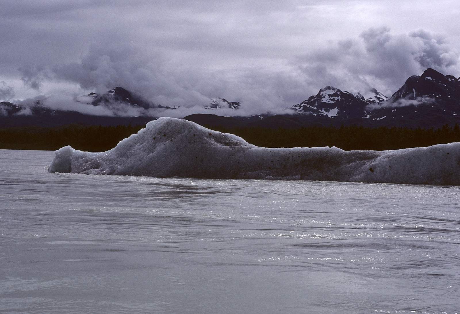
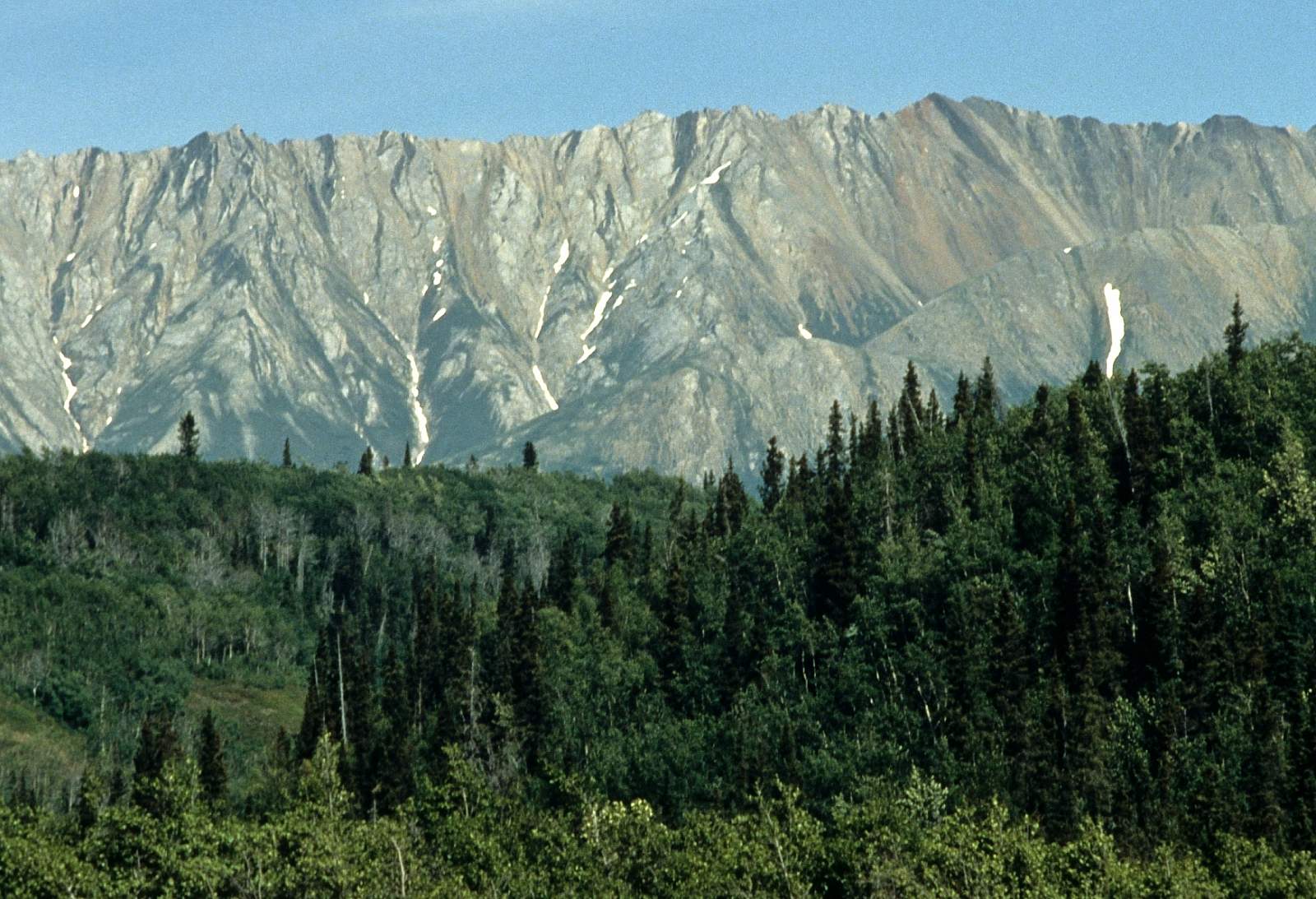
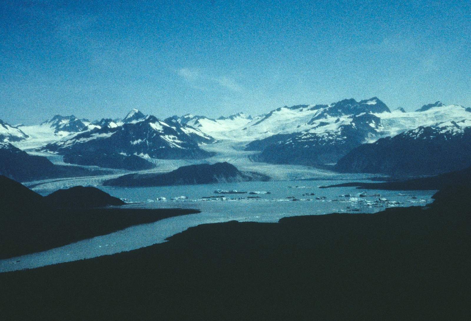
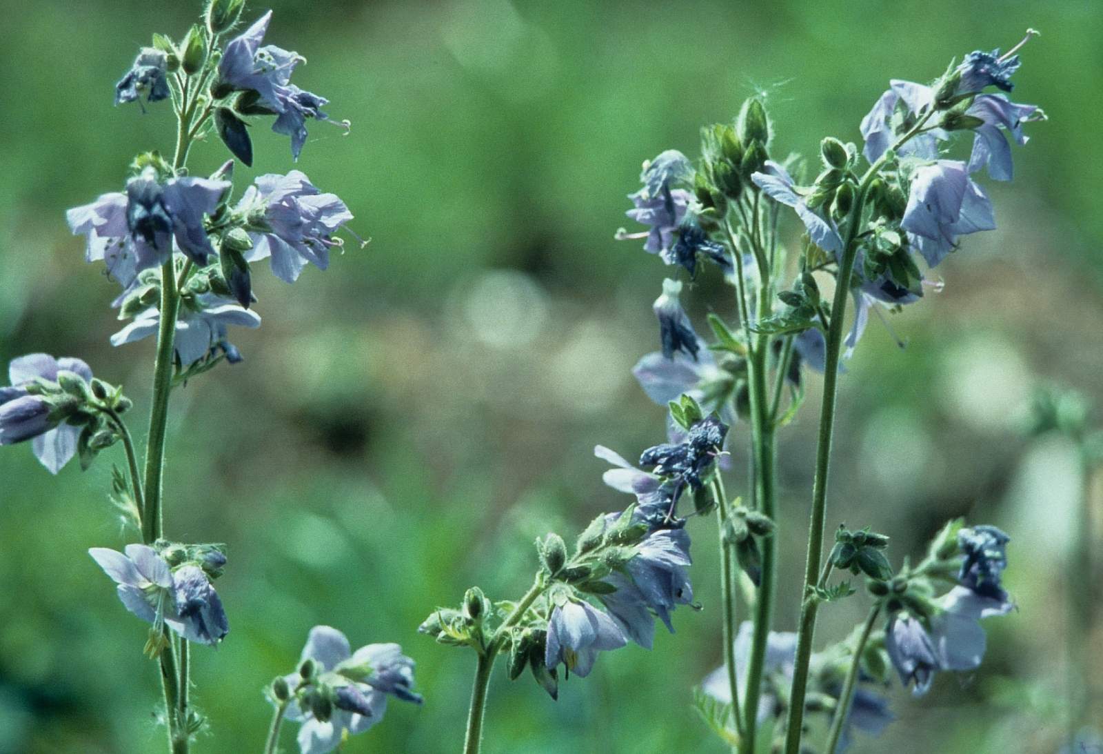
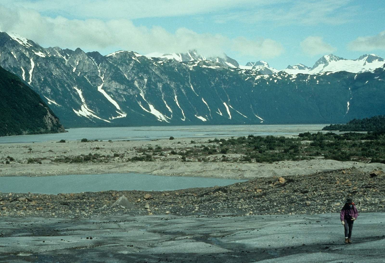
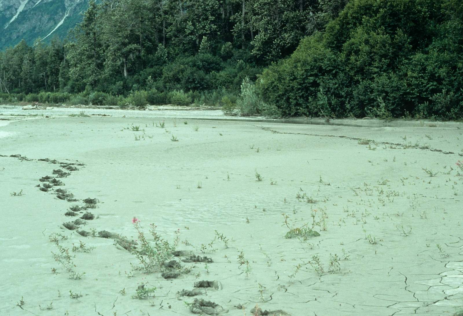
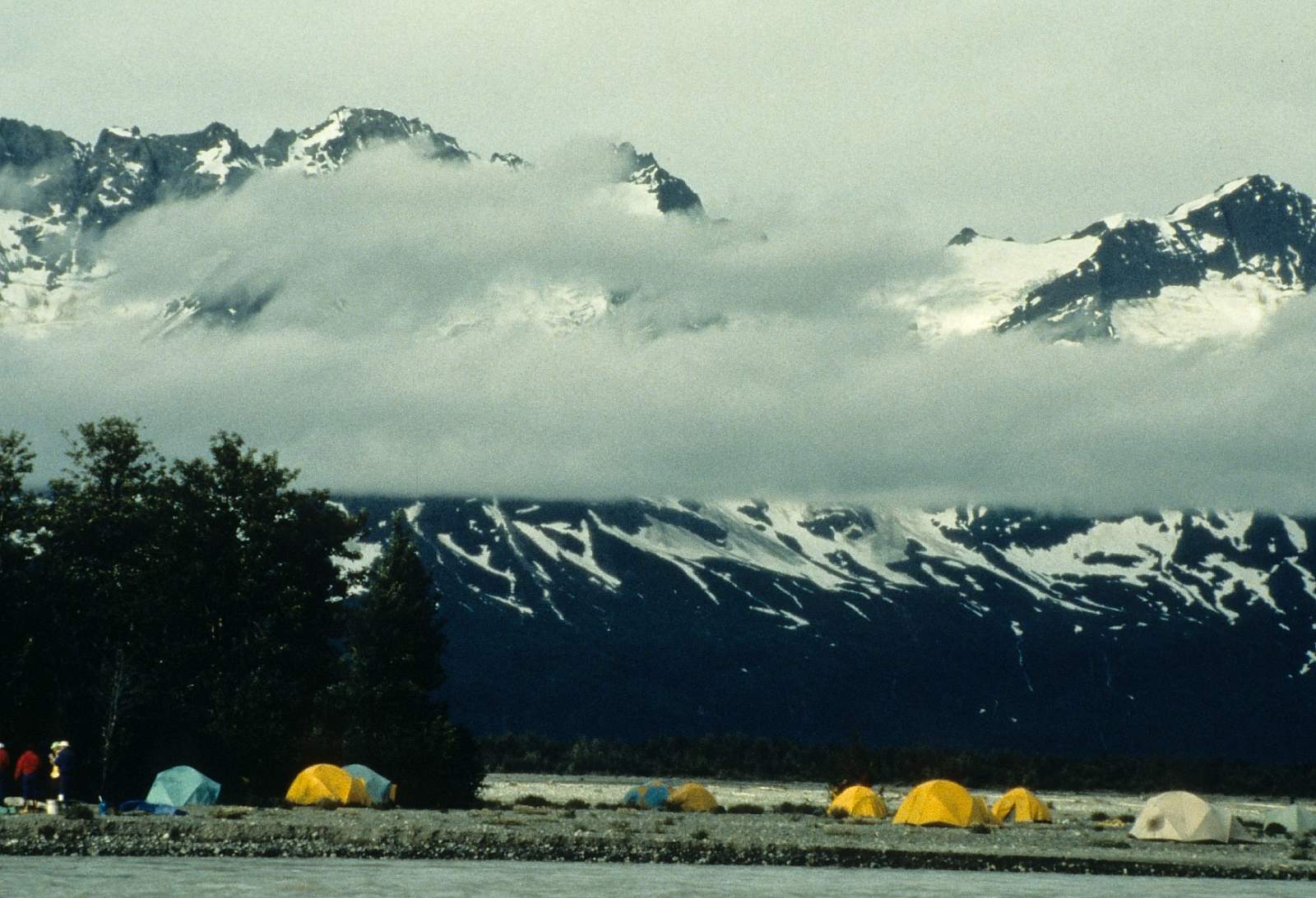
The hike in to where the river trip starts is along an old mining road and right away you will see where grizzly bears are chewing up trees as they make scratching posts out of them. Be alert! When starting your trip from Haines there is an outfitter who will rent equipment, food shop and drive you to the put in if you need it and you may be well advised to use these services. There is a nice campsite at the put in and if the afternoon winds are gale force you will be forced to camp and hope for an early morning start to get ahead of the daily Katabatic winds that race upriver starting at 9 am most days. There is little current on this lower 5-mile stretch of the Dezadeash River and not until you meet the Kaskawulsh is there good current. Once you are on the Alsek, the river becomes one of the most braided rivers you have ever seen and choosing the correct channel is paramount to halving an uneventful day of floating. You will pass Lava Creek and then eventually Marble Creek, the only two sites allowed for camping in this section of river, as the bear population is so high. Kluane Park officials feel this is the best way to minimize bear encounters. Below Marble Creek you will soon enter the otherworldliness of Lake Lowell where the Lowell Glacier meets the river. It is a 3-day trip to this point.
Lowell Glacier to Tweedsmuir Portage Site: 45 miles
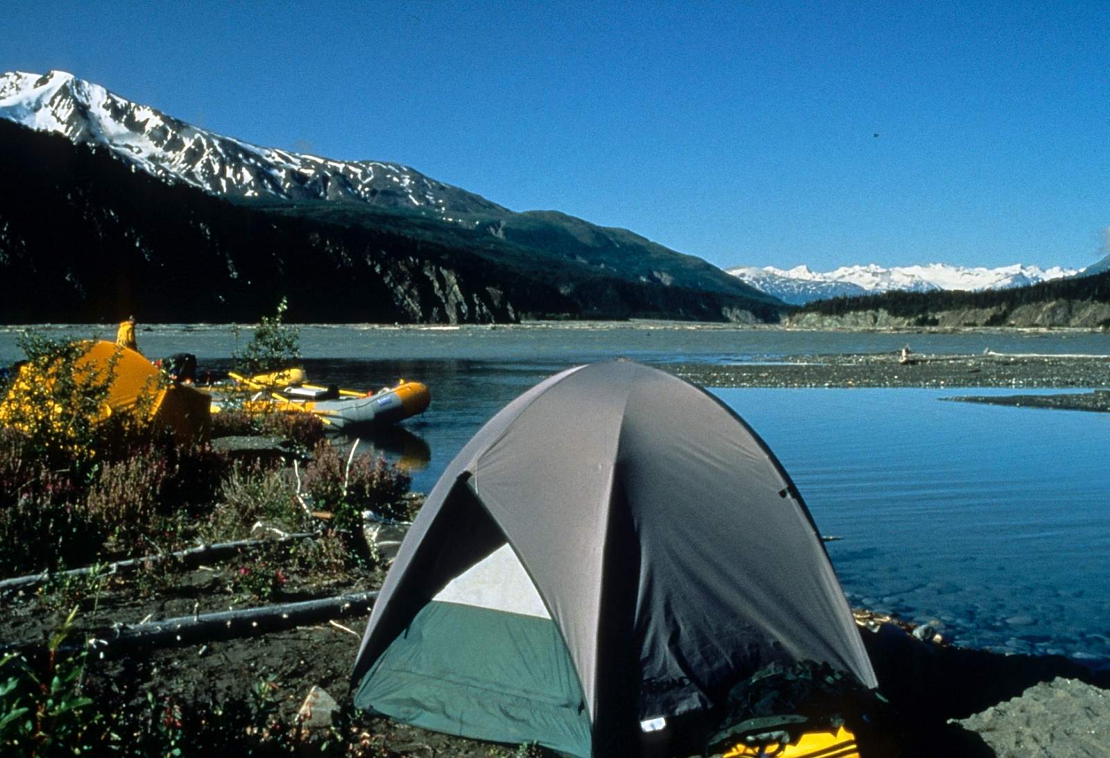
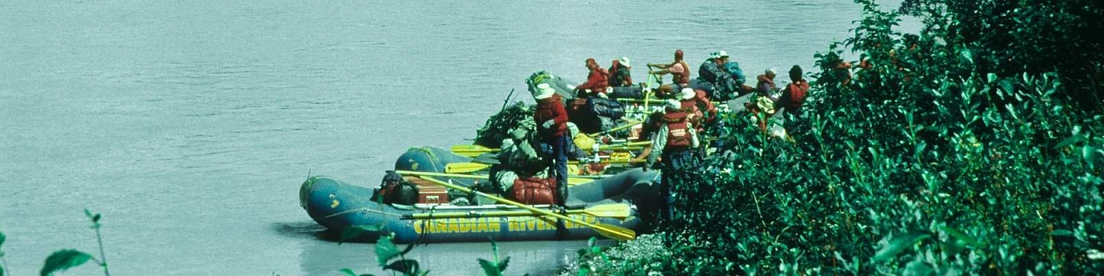
After spending a few days here and hiking up the fabulous Goatherd Mountain you must paddle across the currentless lake. Most groups will depart very early to avoid the worst of the winds and you can expect 2 hours to get across the lake to its outflow. From this point on, the river becomes huge with speeds of 10 mph and headwinds no longer dictate when you leave camp. This is the swift water stretch of river and has two Class V rapids to deal with and miles of big wave trains. One rapid has an easy route around an island to avoid the Class V. The other is called Lava North and has flipped huge rafts, surfed them in holes and taken the lives of some. It is recommended you get the guidebook to this river as an aid to knowing where you are. The river is so fast and huge that you must be aware at all times and constantly pulling as hard as you can away from walls where the turbulence is too great to risk getting close. Below Lava North the river does become easier in that there are ways to avoid the dangers. At Lava North it is hey diddle diddle, right down the middle. It is actually just left of center is where you want to be in the crux. Where you approach the Tweedsmuir portage site the river is huge with 50-foot high cut banks in places and 15 mph current. There is a spot on the left side of the river just before the Pearly Gates entrance into Turnback Canyon where groups stop and derig for the helicopter portage. This portage must be prearranged with Trans North Air, a helicopter service with birds based in Haines Junction. It is a 12-minute flight around the Canyon and each trip carries 6 people. The gear is hauled separately in sling loads.
The flight is spectacular and is the trip highlight for some. GPS coordinates for the portage site are, N 59 degrees and 49.9 minutes by W 137 degrees and 58.5 minutes and is on left side of the river. There is clear water and firewood here.
Tweedsmuir to Tat Confluence: 28 miles
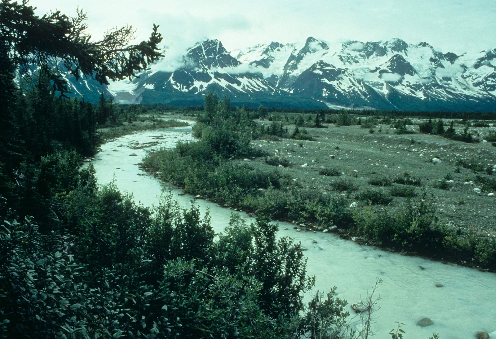
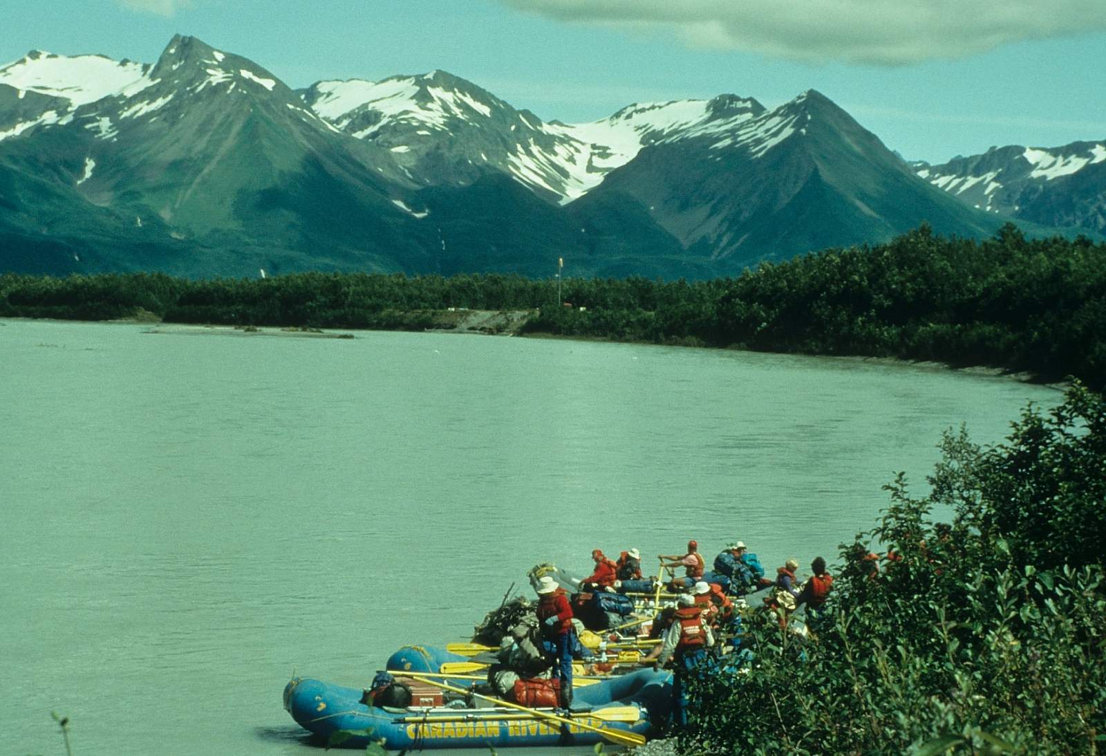
Once you are set down on a gravel bar with all your gear, you then have to blowup rafts and rerig all over again. However, now the river is a gentle but strong braided river and the 10 mph current makes the miles fly by. You are now in a more coastal climate zone, as well, and rains can be expected at any time. Most groups will arrange for the chopper to start at 9am and by 6 pm you are at the confluence with the Tatshenshini having gone 28 miles in just a few hours of floating.
Alsek Confluence to Dry Bay Campground: 54 miles
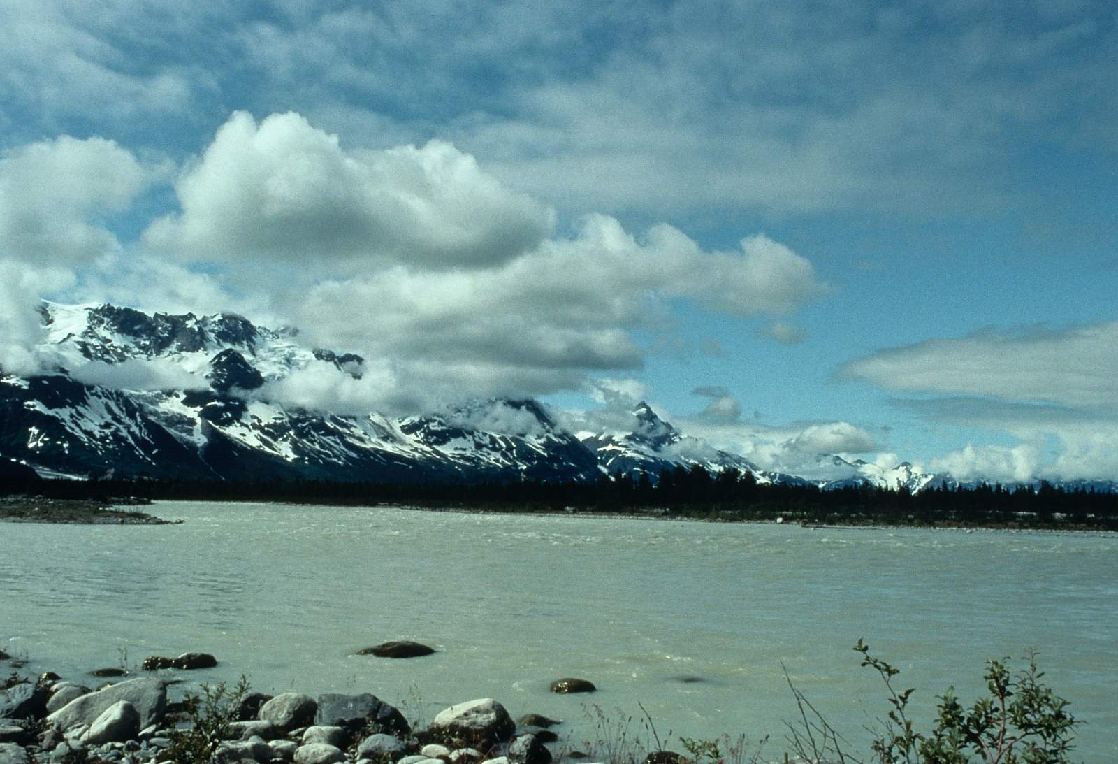
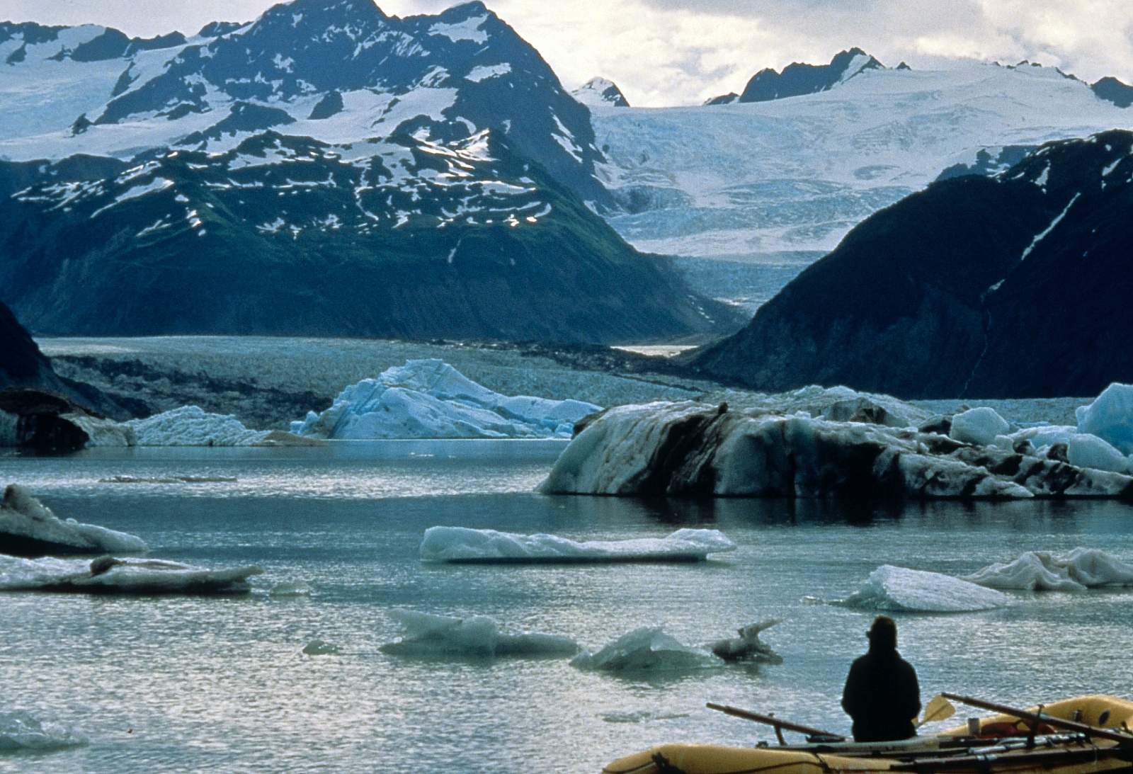
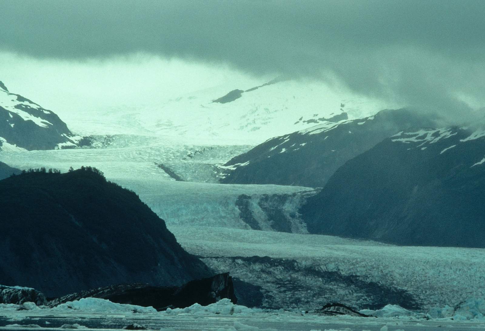
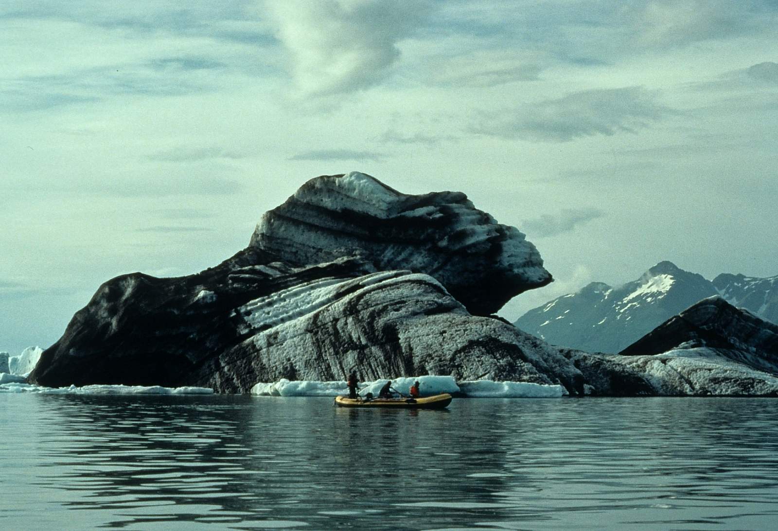
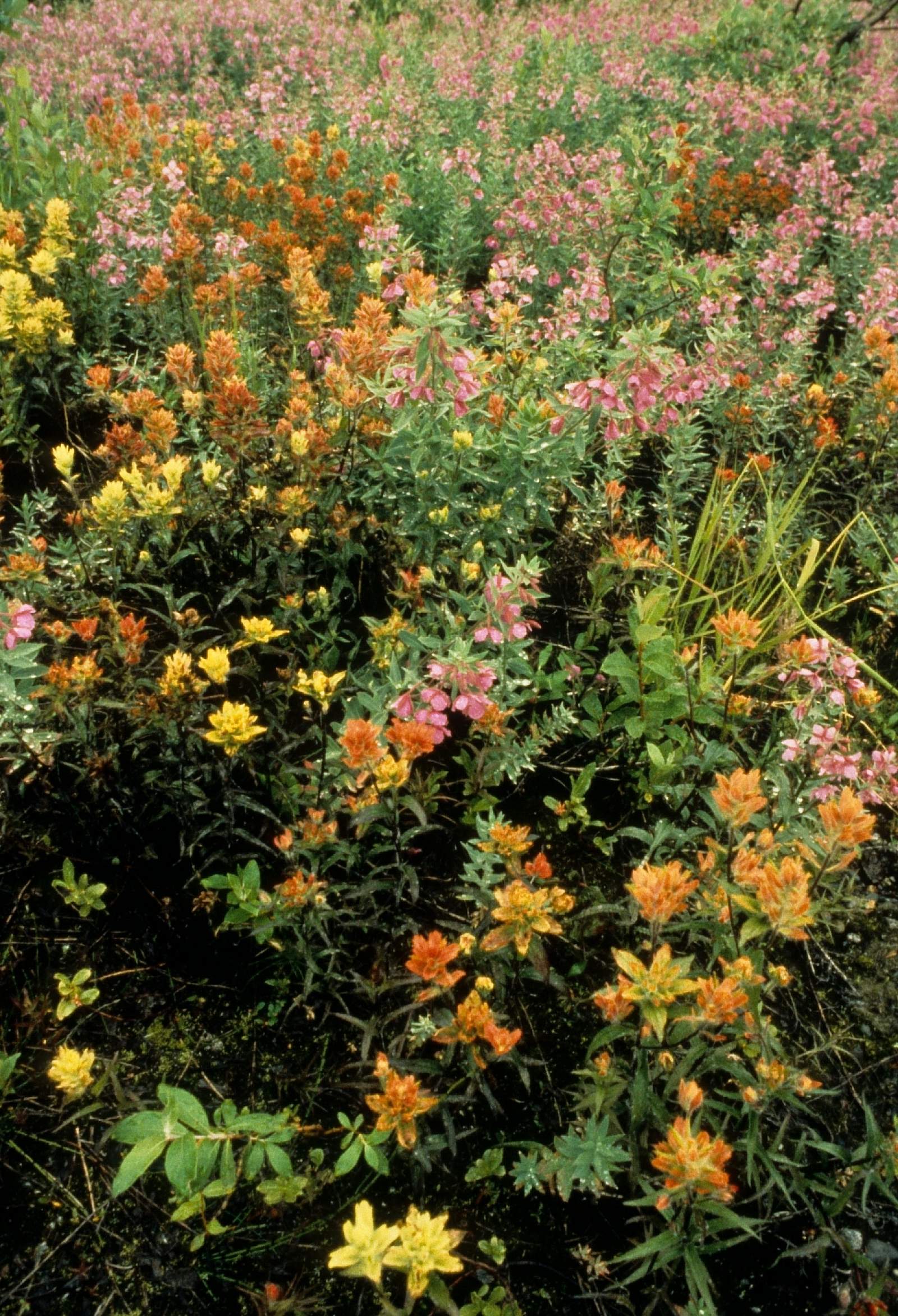
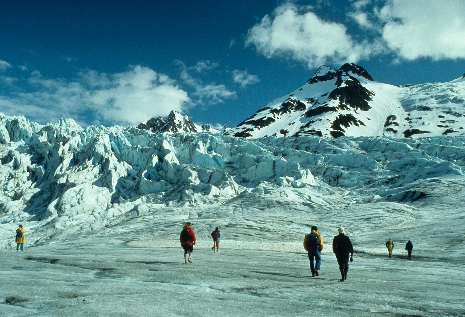
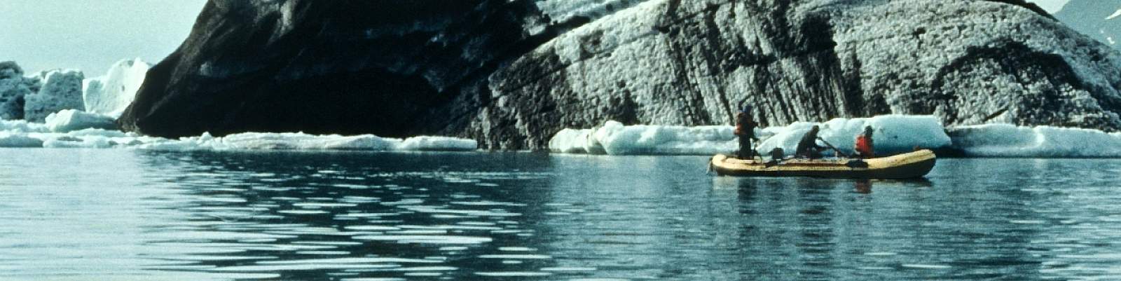
From the confluence, the current in the main channel is 10 mph and if you had to you could float the 50 miles to takeout in an afternoon. The Fairweather Range is the left side valley wall and the Ice field Range is the mountainous glacier country forming the right valley wall. Big bears are numerous, nesting Bald Eagles are common, hanging glaciers cling to every mountain face along this stretch. Below the confluence, the Netland Glacier is the large glacier on the left side of the river. The river makes a 90-degree bend to the left past it and you are approaching the Walker Glacier next, also on the left side. Camping here allows for easy access to the Walker Glacier and a walk across its icy surface.
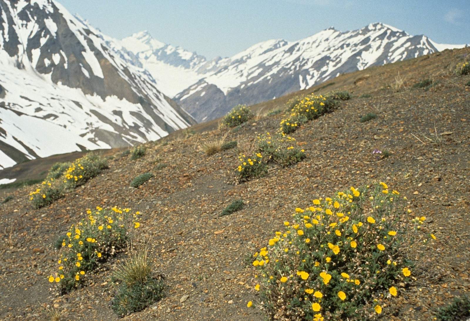
Beyond the Walker Glacier the river heads to the Brabazon Range of mountains, across the Fairweather fault line and into the last tectonic plate, the Yakutat Block. To the right is the miles wide Novatak Glacier, one of the truly giant valley glaciers of the trip. Once you are firmly entrenched in this continental suture zone there are 10 more miles to where the river enters Alsek Lake. Use extreme caution here as icebergs the size of battleships are constantly tipping over and cracking in half causing huge waves and rough water. Camps are best located near the outlet in the vicinity of Gateway Knob. After leaving the lake it is a 14-mile stretch of river that leads back to civilization. Not long after leaving the lake, you will see fisherman homes, nets in the water, boats hauling fish to shore and four-wheelers hauling fish to the plant. Take out is at the airstrip adjacent to the fish plant and is arched by staying left on the narrow slough that leads to where the campground is.
Other Advice
- The Alsek is seriously a Graduate Level wilderness trip and must be treated as such.
- The Lava North Rapid is a big water rapid and the consequences of a swim here are dire. Several lives have been lost here by the unprepared. For this reason, it is worth having a dry suit to wear for just this one rapid!
- The winds can blow away tents that are not properly staked down.
- Have some sort of tent zipper lubricant as the glacial silt will get into everything and the zippers are the first to fail.
- You need to register at the Kluane Visitor Center and pay camping fees for the nights you are in Kluane Park.
- It is common practice to tie all your boats together at night and tie them off to more than one anchor.
Alsek River GPS Coordinates
Dry Bay, Alaska
Take out is at the airstrip adjacent to the fish plant and is arched by staying left on the narrow slough that leads to where the campground is. Take out option for Alsek River.
59.13227200, -138.53015900
Dezadeash River
Where this river meets the Kaskawulsh River is the beginning of the Alsek. To get to it you must start on the Dezadeash River by putting in either where the Haines Highway crosses the Dezadeash just outside of Haines Junction, or at the end of a washed out gravel road to Serpentine Creek. Put in option for Alsek River.
60.74769000, -137.50682100
USGS Maps
Skagway B-8
Yakutat A-1, A-2, B-1
Distance
158.5 miles
Days
13-16
Difficulty
Difficult
Class
III, V
Craft
Raft
Cost
$$$