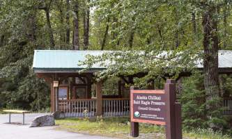
Alaska Chilkat Bald Eagle Preserve Trail
Distance
1 miles
Built to take eagle photographers out of harm’s way along the Haines Highway, this 1.5- mile trail includes lookouts and interpretive panels about the adjacent Bald Eagle Council Grounds, where thousands of eagles gather each year. Warm upwellings of river water keep sections ice-free, providing birds with an important meal.
This four-mile strip of paved, roadside trail between 20 Mile and 22 Mile Haines Highway makes eagle viewing and photography easy during the massive gathering of birds here each fall. It includes interpretive panels explaining why eagles congregate at the confluence of the Chilkat and Tsirku rivers, the critical habitat area of the Alaska Chilkat Bald Eagle Preserve. Follow the trail west to Klukwan, Southeast Alaska’s only inland Native village. Look out on the river flats, in the tree limbs above you and in trees behind you for perching or feeding eagles. At trail’s end, the village heritage center also serves as a visitor’s center for the preserve. For a fee, enter the totem hall and see the world-renowned Whale House artifacts.


