Denali State Park Parks & Trails
Denali State Park serves up tons of great hiking trails. At the heart of the park lies the renowned Kesugi Ridge backpacking trail, with four distinct trails—Lower Troublesome, Upper Troublesome, Ermine Hill, and Little Coal Creek—leading you there. For those seeking a newer route, try the Curry Ridge Trail, a moderate hike that takes you some 1,100 feet above sea level and treats you to views of Mt. Denali on a clear day.
Show Map
Parks & Trails

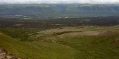
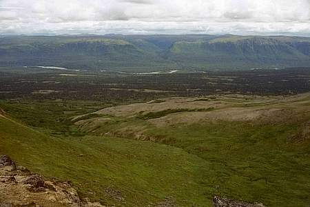
The Curry Ridge Trail is a newly constructed trail (2016) that departs from the Kesugi K’en Campground and climbs moderately (1100 ft in about 3.5 miles) up Curry Ridge. On a clear day, hikers are rewarded with stunning views of Mt. Denali in the distance.
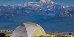
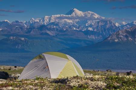
During periods of clear weather, this route through Denali State Park offers similar terrain and scenery to Denali National Park — including unparalleled views of Denali — without the cumbersome permitting process. This trail system offers many options for starting and ending points, as there are four trailheads along its length.
This is the southernmost trail that leads to Kesugi Ridge. On average, it takes a hiker 4 hours to get above the treeline. This trail is often closed due to flooding as well as bear activity for the safety of its hikers. Please check with Alaska’s Department of Natural Resources to make sure that the trail is open to hikers before starting this trip.
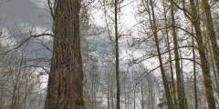
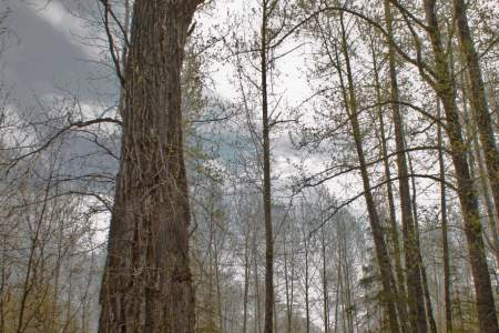
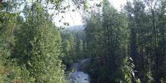
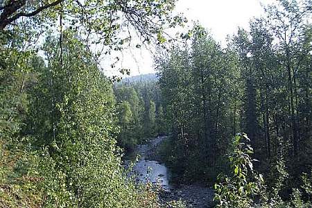
This trail follows Troublesome Creek .3 miles down to where it enters the broad, glacial gravel bar of the Chulitan River. Marvel at the Ent-like Grandaddy Cottonwood, just five minutes down the trail. The trail’s end has been swept away by floods, so it can be confusing, but the adventurous can keep going onto the Chulitna’s gravel bar to look for wildlife, tracks, or views of Denali. The large-leaved plants along the trail are Cow Parsnip and ...more
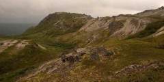
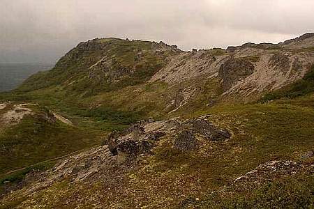
This is one of four trails that lead to the high Kesugi Ridge along the Parks Highway about an hour north of Talkeetna. The trail begins in a forested area and ends up above the tree line looking down on muliple drainages. The view at the top is wonderful, so bring a camera! It takes about 2 hours on average to get above treeline.
This trail is the northernmost trail that provides access to Kesugi Ridge. On a clear day, Little Coal Creek Trail takes you to amazing views of Denali (Mt. McKinley). It also gives you those views in the shortest amount of time, about 1.5 hours, of any of the access trails to Kesugi Ridge.
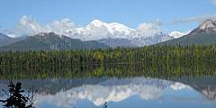
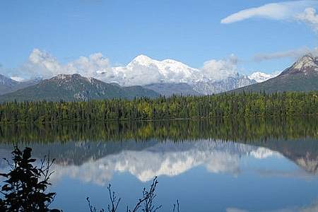
This is one of four trails that lead to Kesugi Ridge. From the Denali State Park campground at Byers Lake, this gentle stroll is the perfect way to spend a few hours. Wander through spruce and birch trees on the north side of the lake and enjoy big views of the Alaska Range and Denali (formerly Mt. McKinley) from the east side.