Glenn Highway Audio Guide
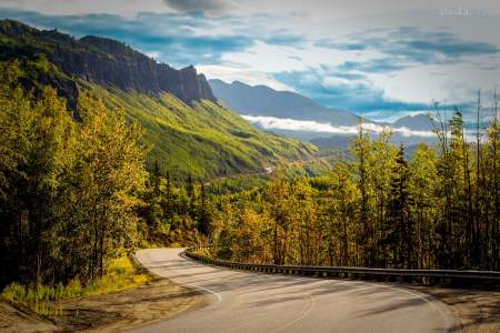
The Glenn Highway is pure Alaska: a 135-mile mix of history and natural splendor running north from Anchorage. Get an insider’s perspective on some of the most scenic, historic, and fascinating spots along this important highway, which runs from Anchorage to Glenallen. Learn about the spectacular Matanuska Glacier—and the river that flows from it—and get the best spots to take in the view. Listen to the different kinds of forests, and all about the area’s colorful history—from shootouts to a chalet that’s part of an abandoned 1950’s ski resort. We’ll even fill you in on the modern mushers who live along this iconic highway.
Show Map
Points of Interest
The Glenn Highway leads from Anchorage to Glennallen. The road between Glennallen and Tok has the same route number (1), but is called the Tok-Cutoff. So it’s not technically part of the Glenn, but they’re often lumped together. Driving from Anchorage to Glennallen takes about 4 – 5 hours.

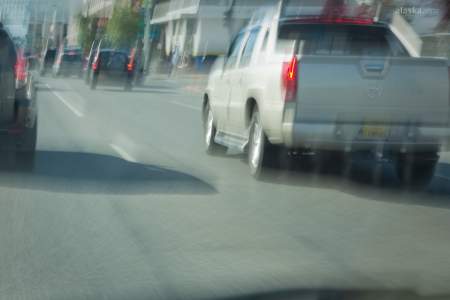
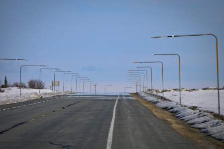
Did you know Anchorage has traffic issues? Rush-hour demonstrates this. Between 5 and 6pm just getting across town takes half an hour or more. But the Glenn Highway really backs up, especially after work. Thousands of commuters head home to Eagle River, Palmer, and Wasilla. Fresh snow slows traffic even more. During a storm, the trip from Anchorage to Eagle River, just 15 miles north, can take an hour.

Eagle River campground is convenient and modern. Right beside it are also class IV rapids. Kayakers and rafters call them Campground Rapids. But nearby are a couple of places not normally associated with camping. Do you like ghost stories? Do you have some trash piling up in the back of your truck? Maybe you should stop in and have a look. But don’t say we didn’t warn you!
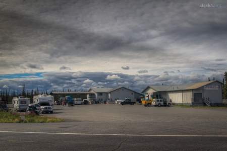
The speed limit is 25. People walk or ride a bike instead of drive to the local bookstore or coffee house. Gardens sprout up in almost every yard. This is no accident. Palmer has grown slowly over the years, but residents work hard to keep that small town feel and their farming roots intact. Most fresh produce and milk products grown or produced in Alaska come from here. Community supported agriculture, or CSAs, are starting to pop up in the… ...more
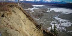
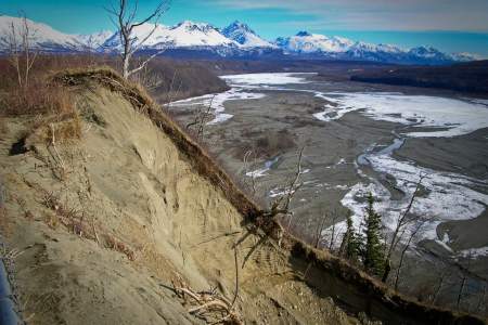
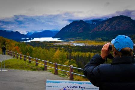
This pull-out won’t be here forever. The fast-flowing, glacier-fed Matanuska River washes by right below, taking dirt and debris with it every day. This is an excellent example of a braided river. Matanuska Glacier, farther up the Glenn Highway, feeds this waterway. It’s fast and cold, and can be extremely dangerous to navigate, though people do raft it. Historically, Natives and gold seekers used the frozen river for winter travel.
Keep your eyes open for rocks on the road above Long Lake. Alaska Department of Transportation clears boulders off the highway in this slide area every day of the year, but you could still collide with one if you come around a corner too fast. On the other hand, don’t linger under this crumbling bank!
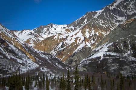
Gee is a dog mushing term for turn right. Iditarod musher Zack Steer owns Sheep Mountain Lodge and trains his team in this area. Spectacular colors on Sheep Mountain itself are from iron stains on ancient volcanic soils.
In the 1950s, an Anchorage family worked tirelessly at their dream of building a ski resort here at the base of Gunsight Mountain. They built a small chalet and erected a rope tow. But financing was always a problem. Business did not boom. Today, the chalet is all that’s left of their efforts.
Prospecting in early Alaska meant colorful characters and remote living. Mountain passes were often the best routes for men hiking hundreds of miles to reach gold. Most miners owned at least one gun. And they shot to kill.
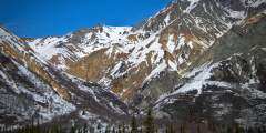
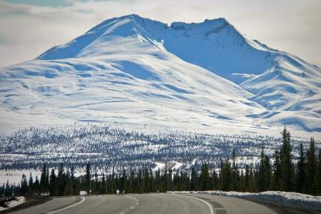
This is one of Alaska’s premier recreation meccas. You’ll see lots of big-boy toys around Eureka Summit: RVs or big trucks pulling trailers with ATVs or brand new snow machines. This summit receives several feet of snow each winter, and rugged trails open access to the terrain during summer. Eureka Summit is the highest point along the Glenn Highway.
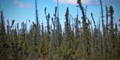
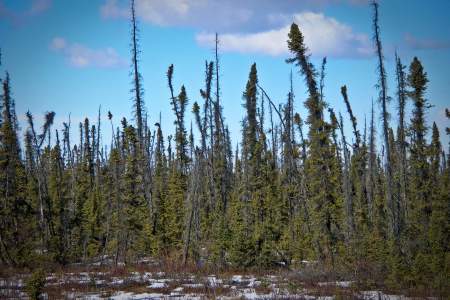
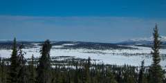
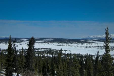
Even though black spruce forests look sickly, they’re actually healthy trees. Their shallow roots spread over permafrost, so they grow slowly. Soil above the permafrost melts and freezes, buckling the ground and making the trees tip. This stand might’ve sprouted around the same time as World War I, or even earlier. Maybe back when there were only ten miles of paved roads in the entire country.
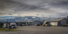
It’s disorienting to drive through mile after mile of wilderness only to suddenly arrive in a small town. You might ask, “Why in the world would anyone live out here?“Glennallen may seem like it’s in the middle of nowhere, but its origins make sense. And about 500 people call it home. They work in several industries, mainly tourism, government services, education, and healthcare. There are also a few small farms in the area.