Managed by the National Forest Service, Ward Lake is just tucked into the edge of the Tongass National Forest boundary. This area used to once be a Civilian Conservation Corps camp in the 1930s and also housed relocated Aleuts during World War II. Informational signs are posted about this history at the Ward Lake Recreation Area and the nearby Three C’s Campground, and remnants of stone foundations from these camps can still be found. Because of Ward Lake’s close proximity to town, the recreation area is popular with the locals. Three shelters, complete with fire places, picnic tables, grills, and horse-shoe pits, dot the beach area right beside the parking lot where an outhouse is available. There are a handful of other picnic sites along the lake where a car can pull-off the road for parking and access. In the summer season, a water pump offers fresh drinking water.
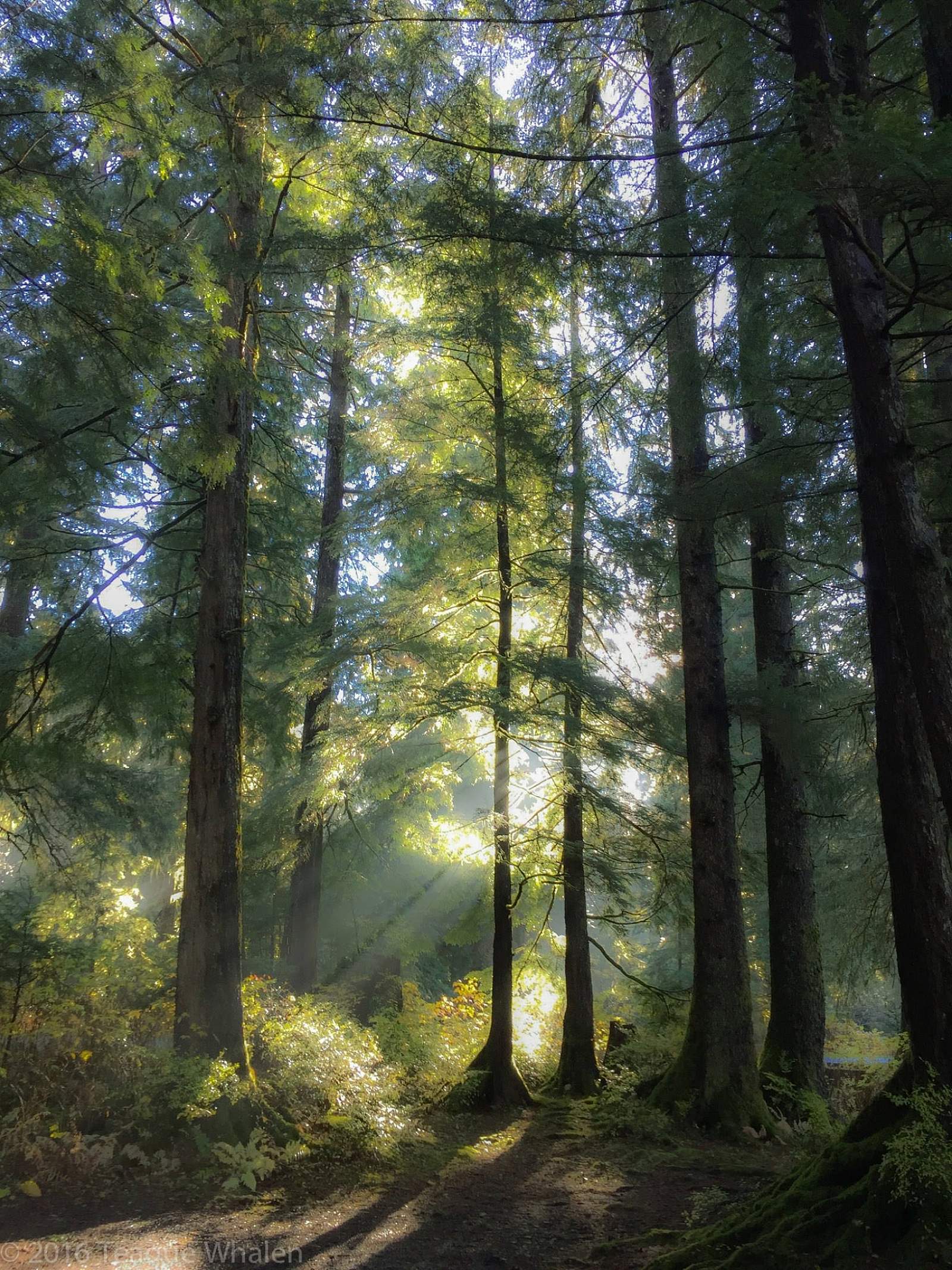
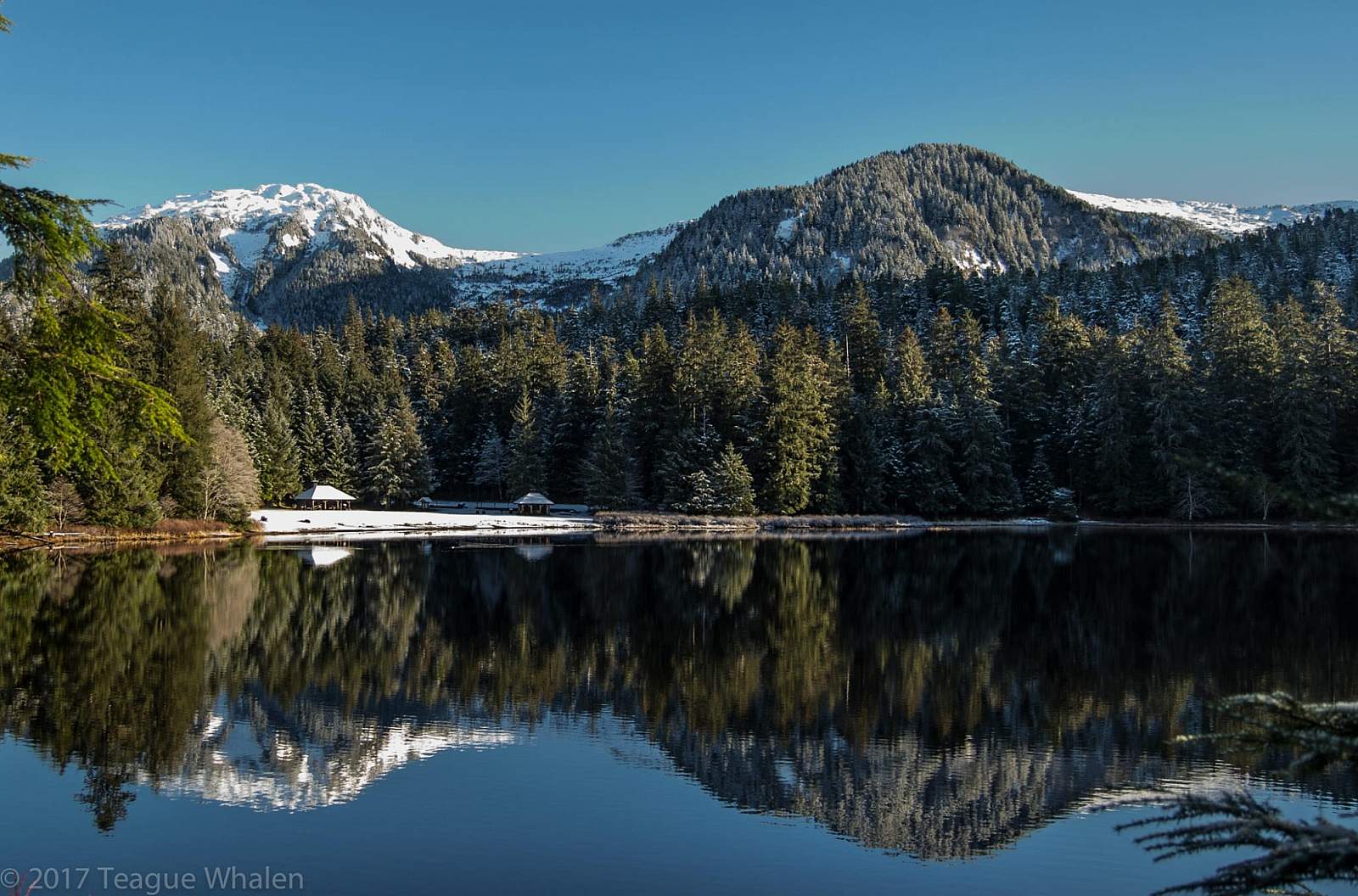
The mostly-flat Ward Lake trail follows the circumference of the lake’s shore in a swath of gravel that is wide enough for two people to walk abreast. The trail crosses two bridges over Ward Creek, which runs into the east end of Ward Lake and out the west end. The lake and creek are scenically placed in a valley of mountains. Most dominant are Brown Mountain and the Diane Mountain ridge. In the winter, if the lake freezes, one can find many people sliding and skating on the ice. Within walking distance are also three other trailheads: the Ward Creek trail can be picked up on the other side of the Ward Lake parking lot and road; the Perseverance Lake trail lies further down the road just over the Ward Creek bridge, and the Frog Pond trail can be accessed where the road dead-ends at Signal Creek Campground.
Early spring or late fall mornings, sometimes the air is colder than the water and a mist glides across Ward Lake to rise and form a small cloud. Bald eagles, Canadian geese, loons, swans, seagulls, herons, mergansers, mallards, buffleheads, and kingfishers frequent these waters. It’s not uncommon to see large piles of black-bear scat plopped right in the middle of the trail. Along the trail, one can also find informative signs about the flora and fauna in that area. In the spring, fly-fisherman wade off the east banks of where Ward Creek flows into the lake and where in the fall, one can watch the salmon migration swimming up river to spawn and die. Otters can sometimes be watched playing and eating among the shoreline reeds. And the astute observer may find a well-hidden beaver home, tipped off by the fresh beaver shavings littered around stumps of missing alders.
Because Ward Lake is fed by creeks that capture all the rain and snowmelt from the surrounding mountains, the lake level can rise and fall dramatically, sometimes flooding the south-side of the trail. In this case, the road can be walked. At the west-end bridge where the creek flows back out of the lake, this part of the river can have two- to three-foot standing waves in extreme high water. At the west-end of the lake, the trail meanders through Signal Creek Camp-ground, where Signal Creek enters the lake. Rural campsites perch on the lake and along the creek, offering picnic tables, fire rings, and bear boxes to store food. Overall, a great trail for just getting out for a quick walk not far from town.
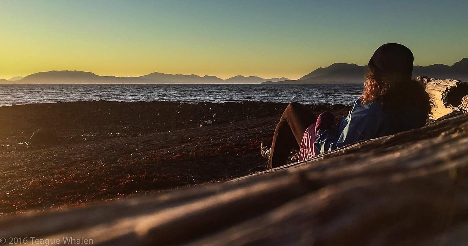
*Trail description written by Teague Whalen, owner and operator of Mindfulness Rainforest Treks. Join him for a guided hike on nearby Coast Guard Beach when you’re in Ketchikan.