Why Float This River
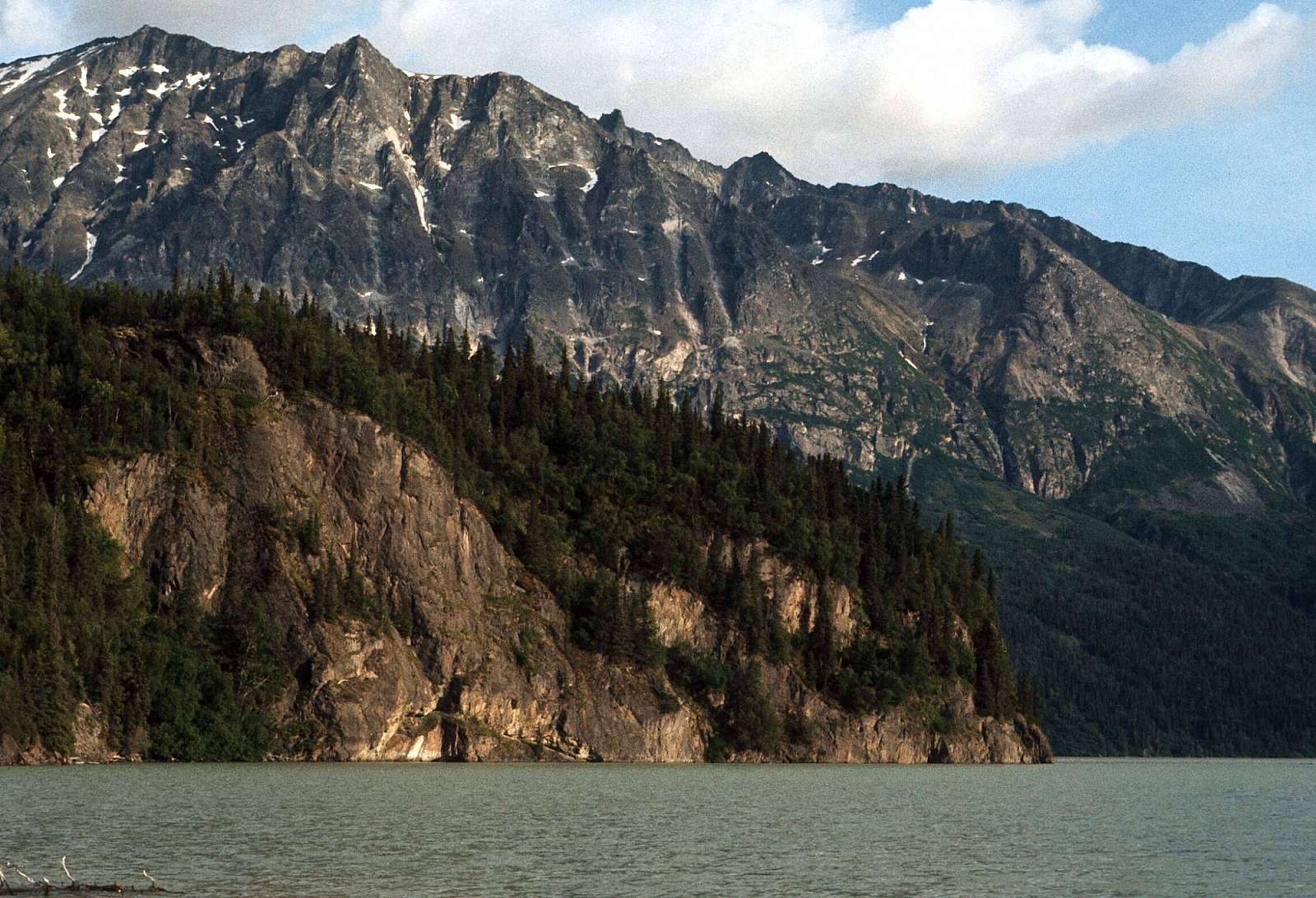
This river is a little known river, short in length but long in attributes, that flows in one of Alaska's premier wilderness parklands, Lake Clark National Park and Preserve. With the Neocola Mountains to the north and the Chigmit Mountains to the south, the river sits in a geographically important site where the Alaska Range ends and the Aleutian Range begins. The scenery along the river's narrow mountain lined valley is the river's outstanding value. Glacier covered high mountains, perpendicular rock cliffs, caves, waterfalls, varied vegetative cover, and deep narrow gorges add to the magnificence of this trip. USGS maps show the river flowing out of Summit Lake but due to recent changes in the glacial landscape and outwash, the lake's outflow goes northwest, eventually into Cook Inlet. The river starts as one of the glacier fed streams on the NW side of the pass about 1/2 mile from the lake. The river is only 51 miles in length Class I and II except for one spot where there is a strong Class III+ and takes only 3 to 6 days to float.
Put In
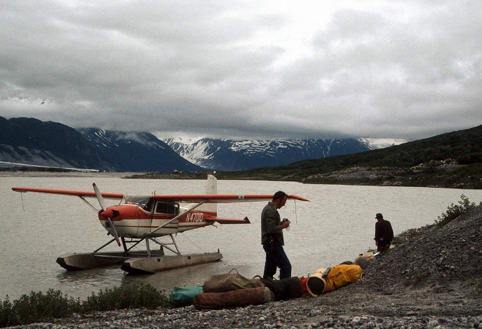
To run this river you have to fly in to Summit Lake in a floatplane and then portage your gear to the channel that leads to where you can then line your boats till there is enough water to float. From Anchorage you could charter to fly directly to the river, an hour flight, or you could take a regular scheduled flight to Port Alsworth or Iliamna and charter to the river from there. The river starts from a glacier on the SE side of the pass, flows down the mountainside and splits into two channels—one going NE into Summit Lake and the other SW as the Tlikakila River.
Take Out
Take out is from Lake Clark and should be a prearranged pick up by floatplane along the lakeshore to the west of the river's mouth. It is possible to arrange for a boat to pick you up and transport you to Port Alsworth should that be preferred.
The Trip
Summit Lake to North Fork Confluence: 16 miles
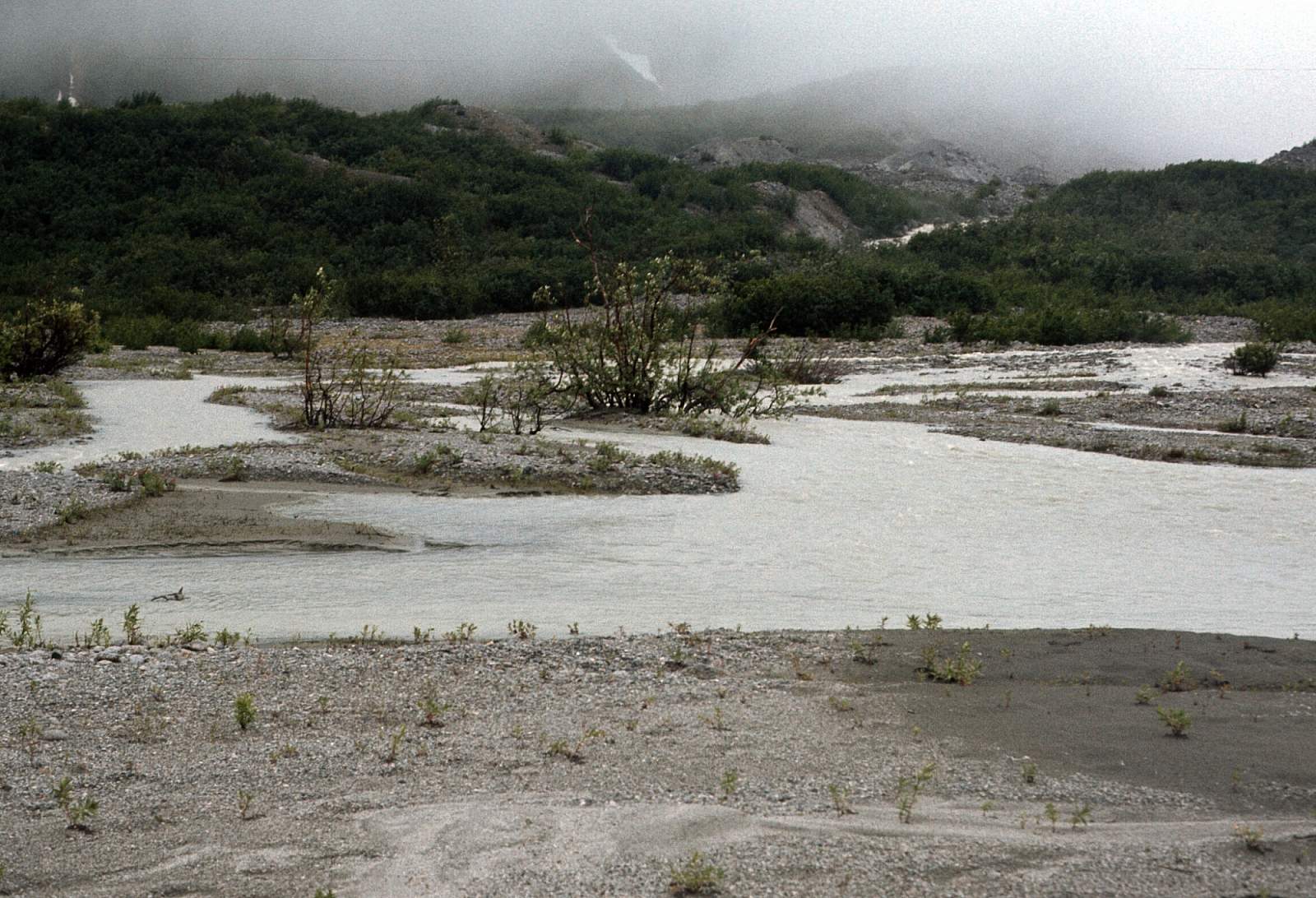
From the lake it is up to a half-mile to portage your gear to the stream channel you will use. Have the pilot that flies you in give you a good look at how the river starts! Once in the channel line your boats till you are floating. It is then about two miles to the Glacier Fork.
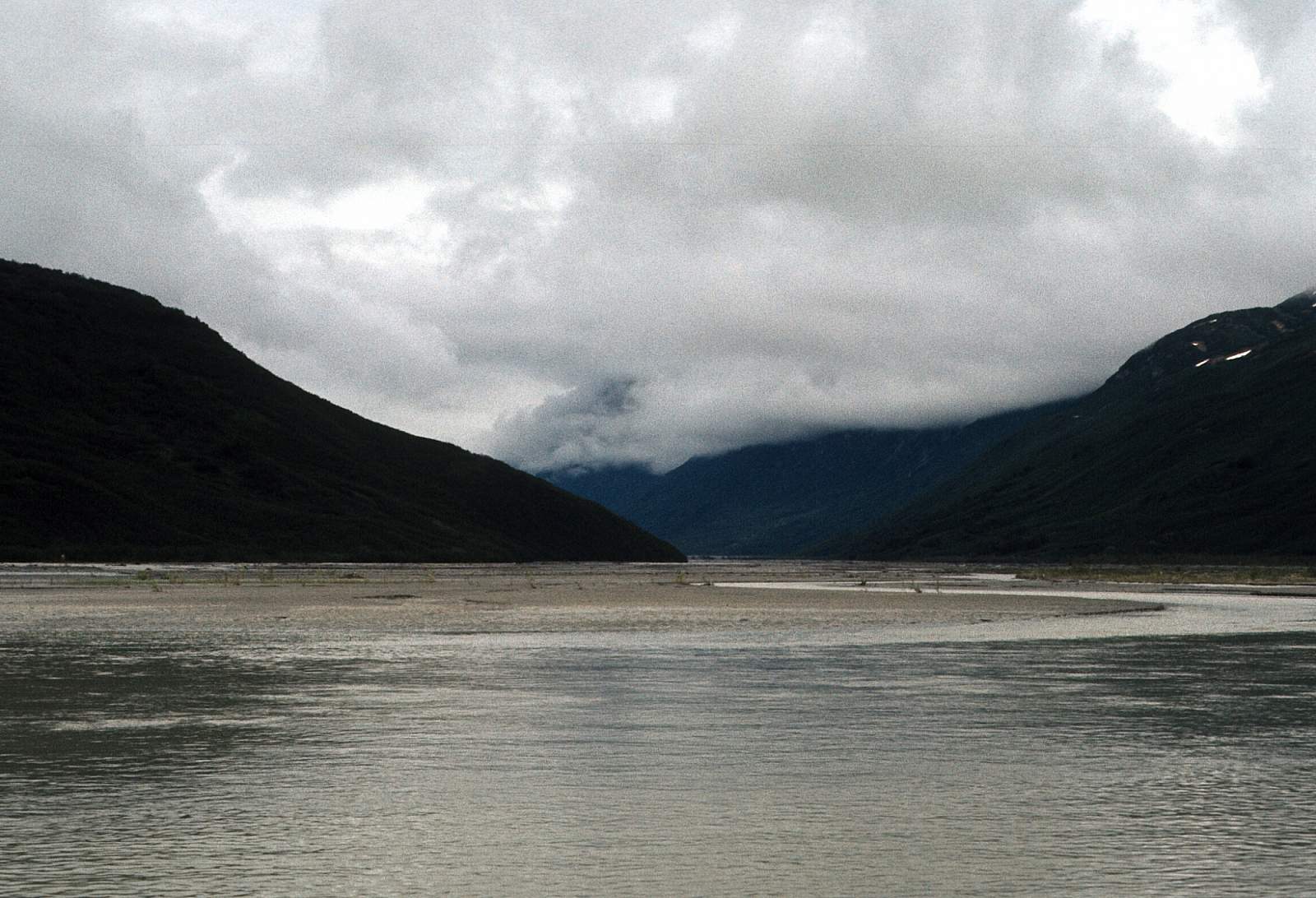
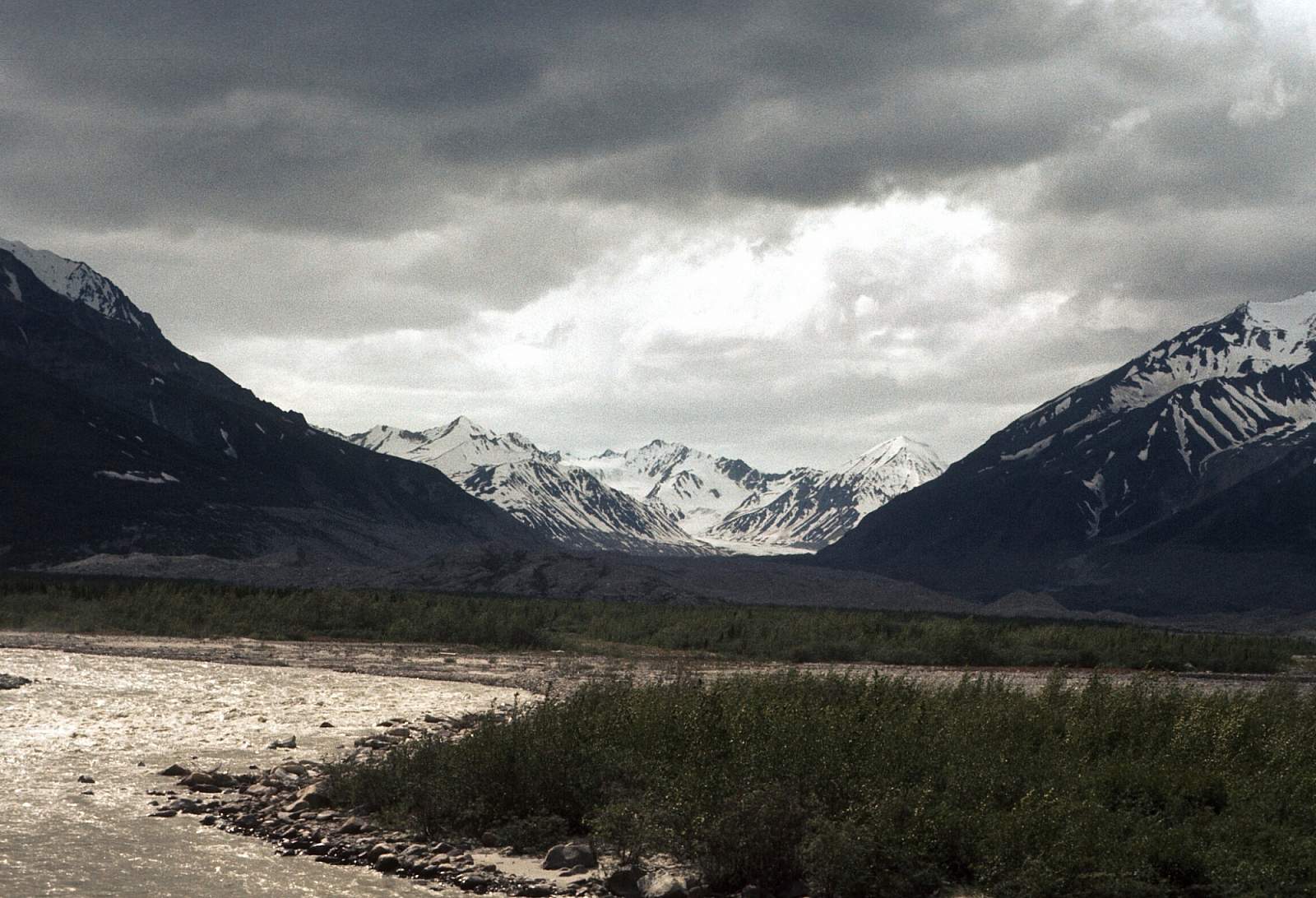
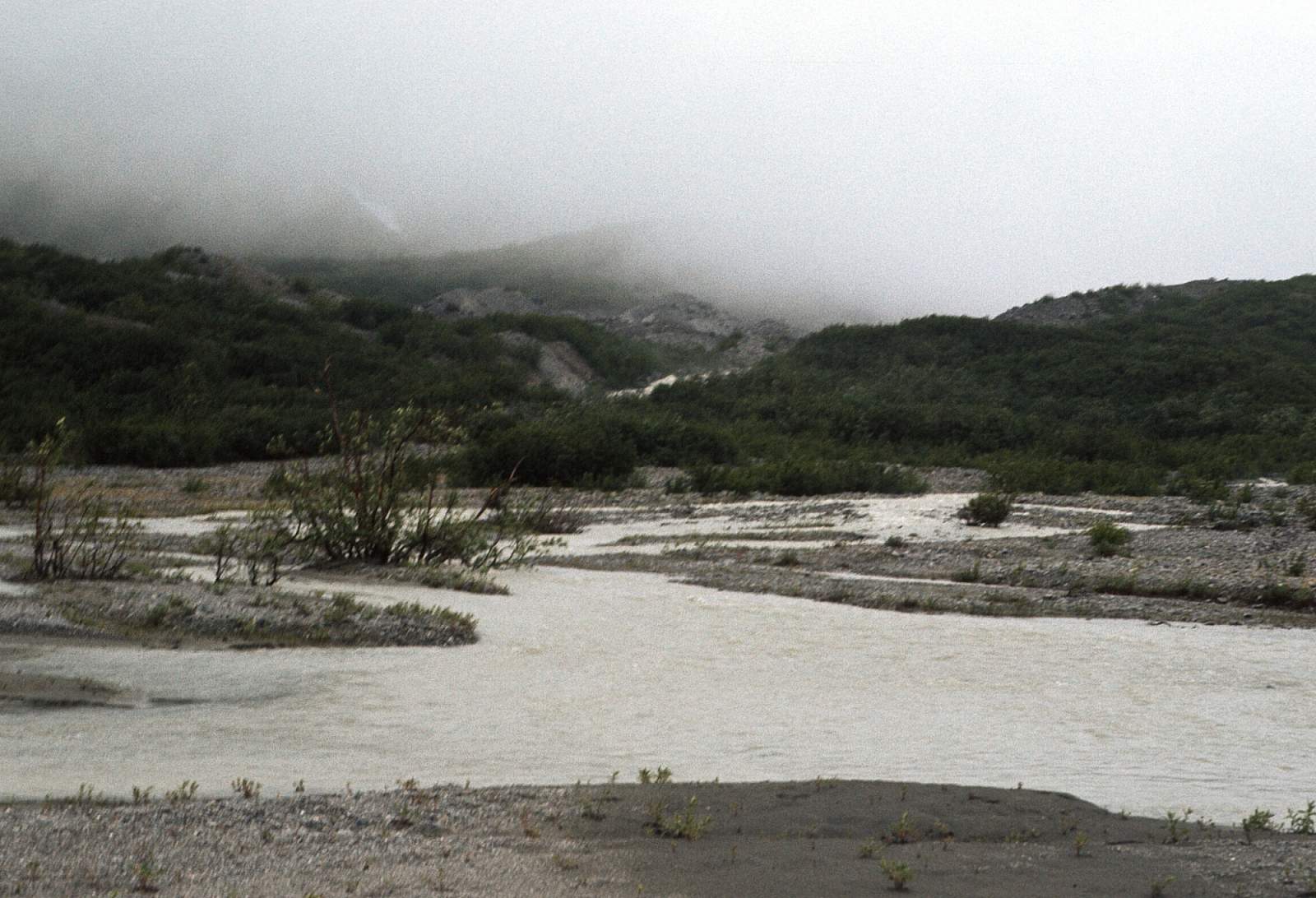
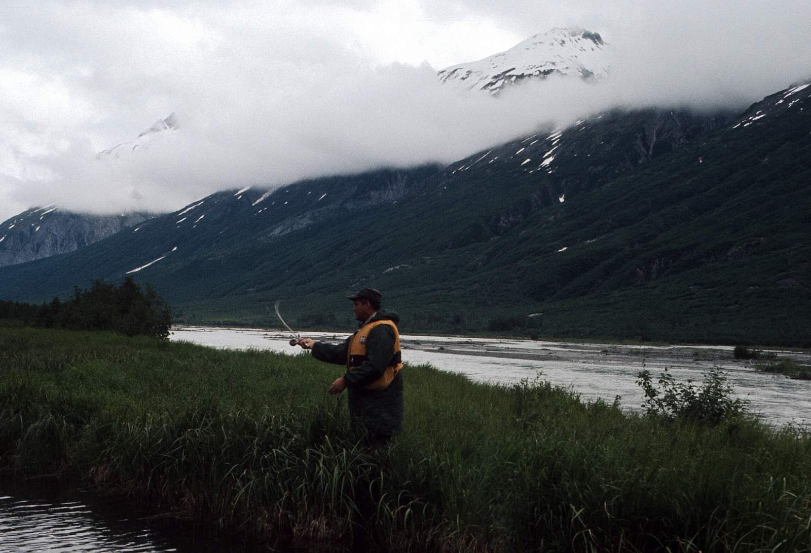
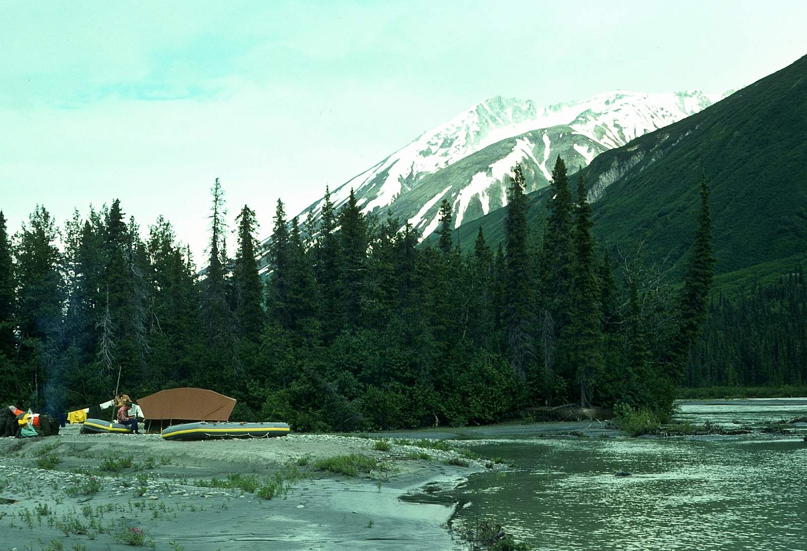
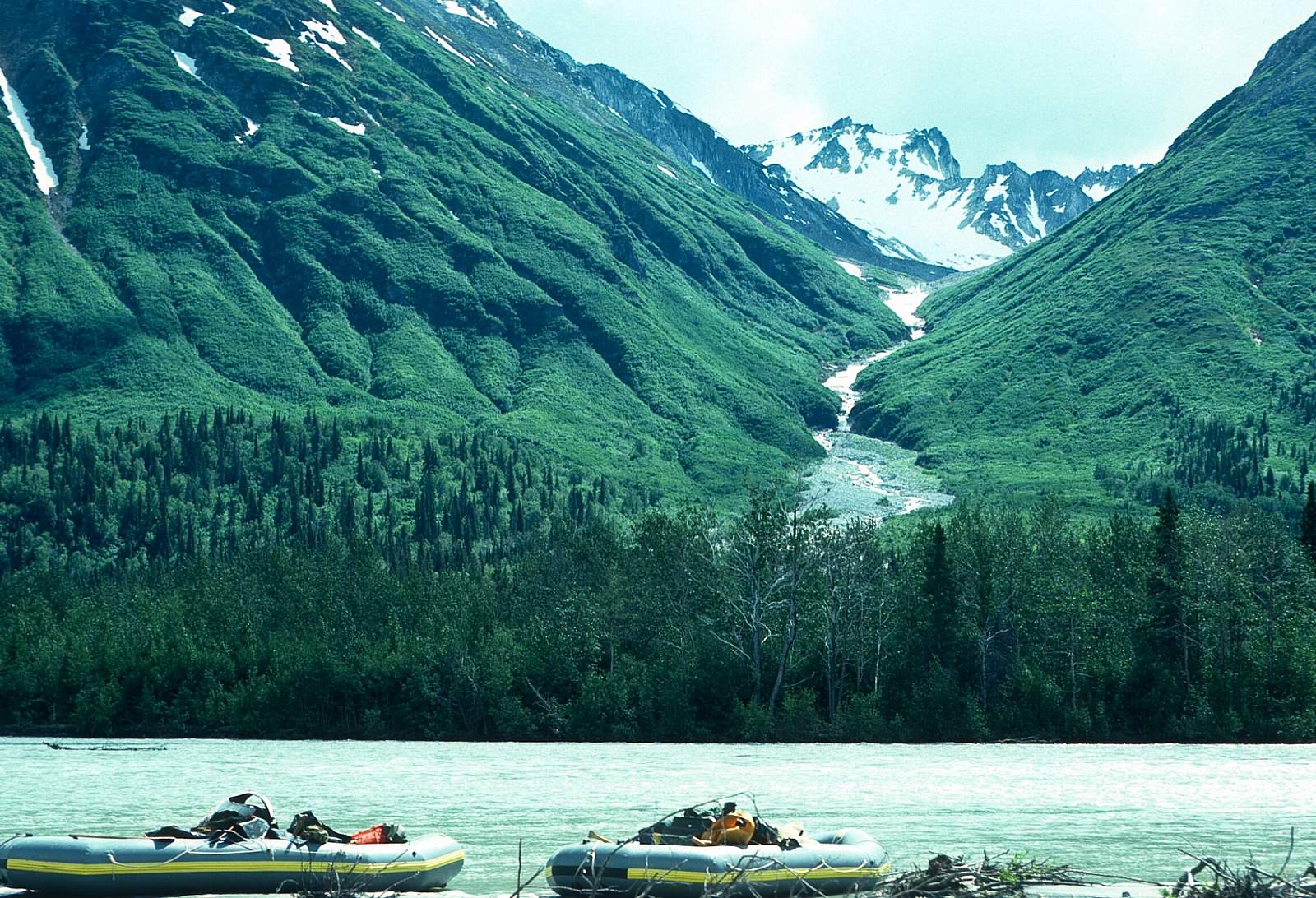
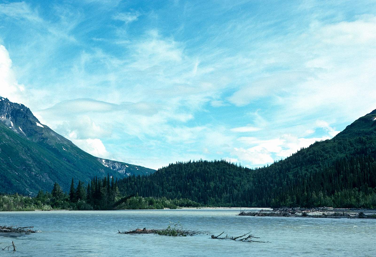
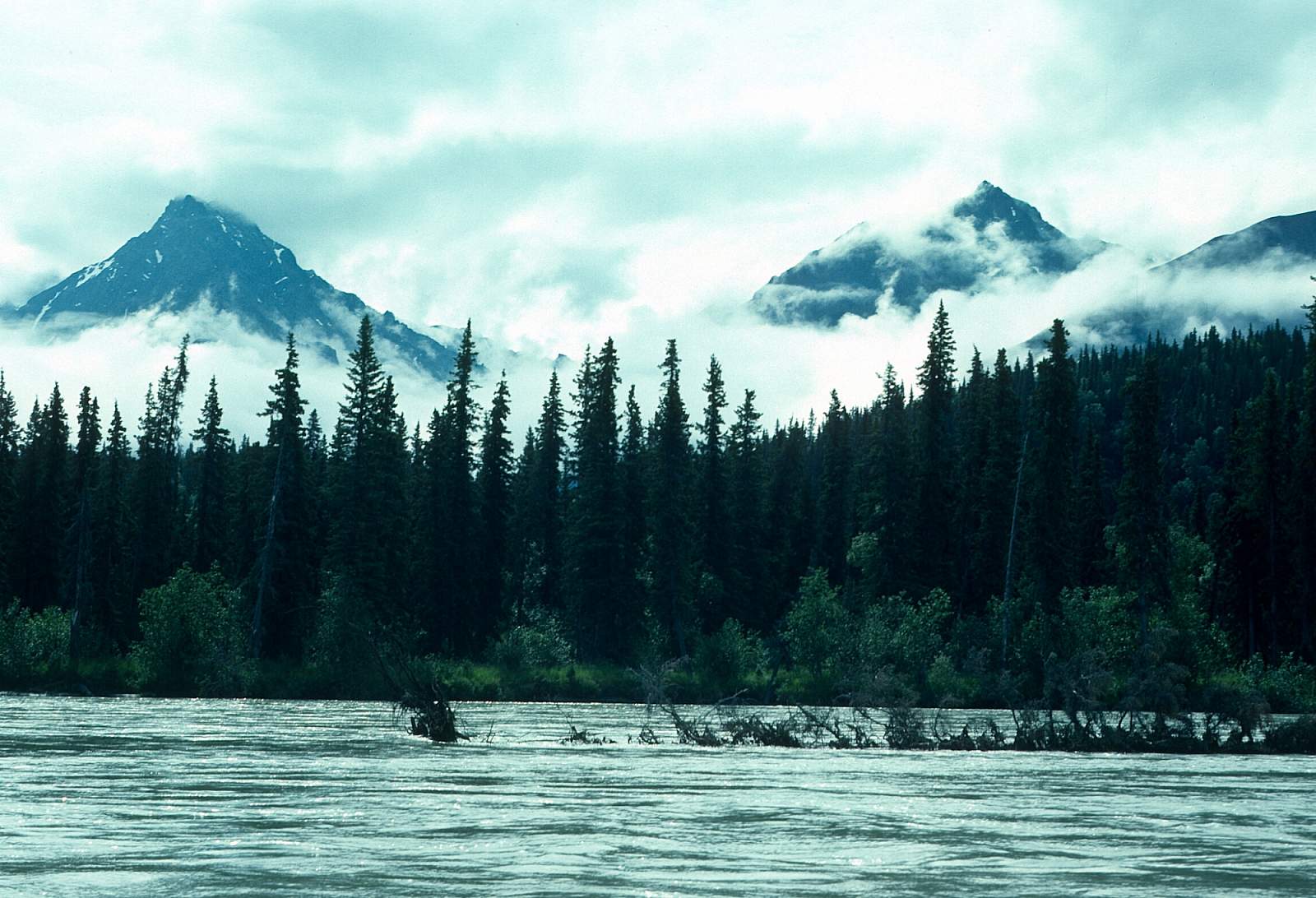
The river valley here is about half-mile wide and lined with 6000-foot high snow and glacier-capped mountains. To maximize your experience it is advisable to camp in these headwaters for a few days to explore and hike in the area before moving down into the forested valley. From Glacier Fork it is about 12 miles to the North Fork confluence. The river is Class I and II at all times with braids to choose from and sand bars to avoid. The vegetation changes between Glacier Fork and North Fork from exclusively alpine tundra to dense stands of alder, willows, and black spruce along the river and three-quarters of the way up the valley walls.
North Fork to Lake Clark: 35 miles
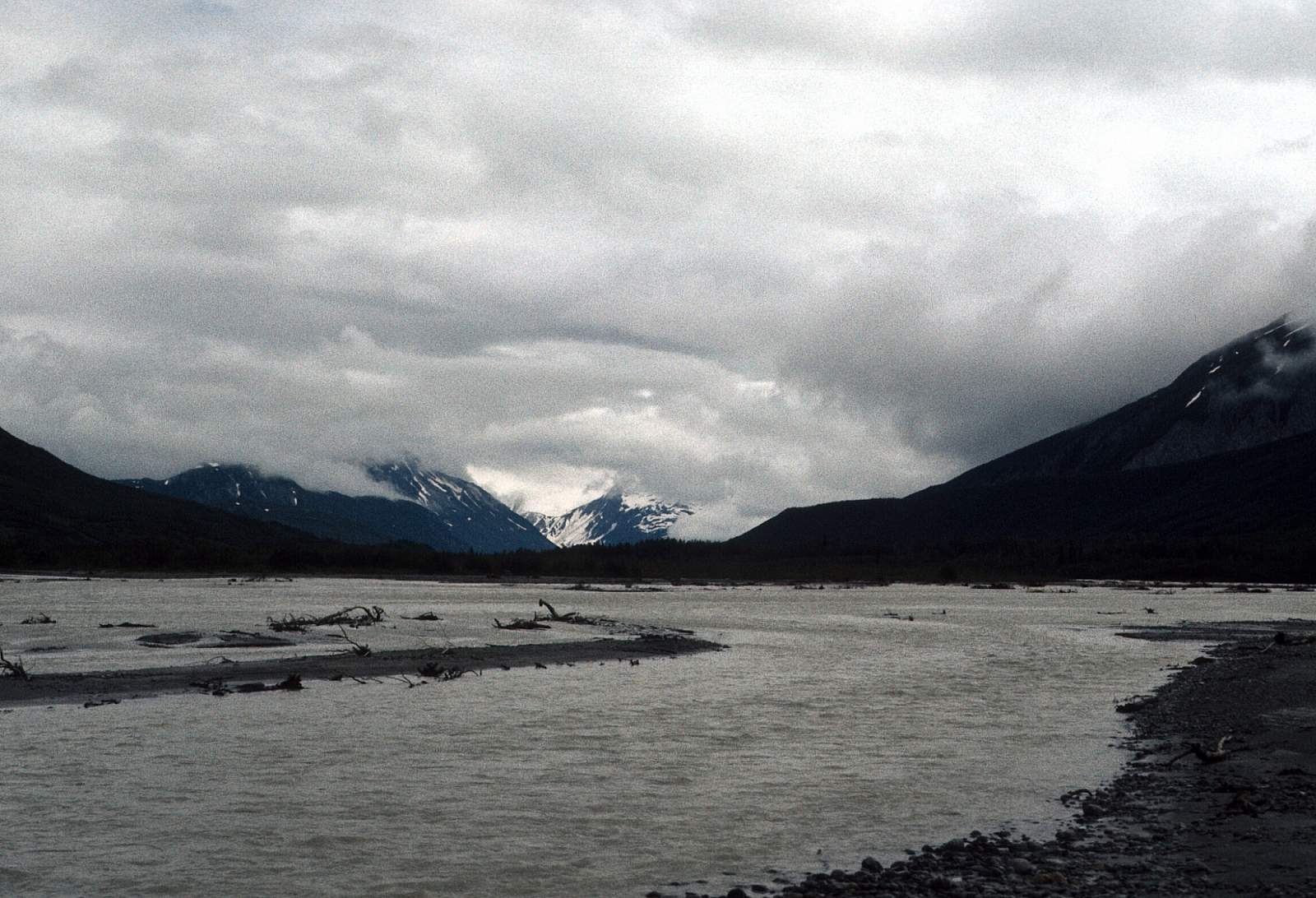
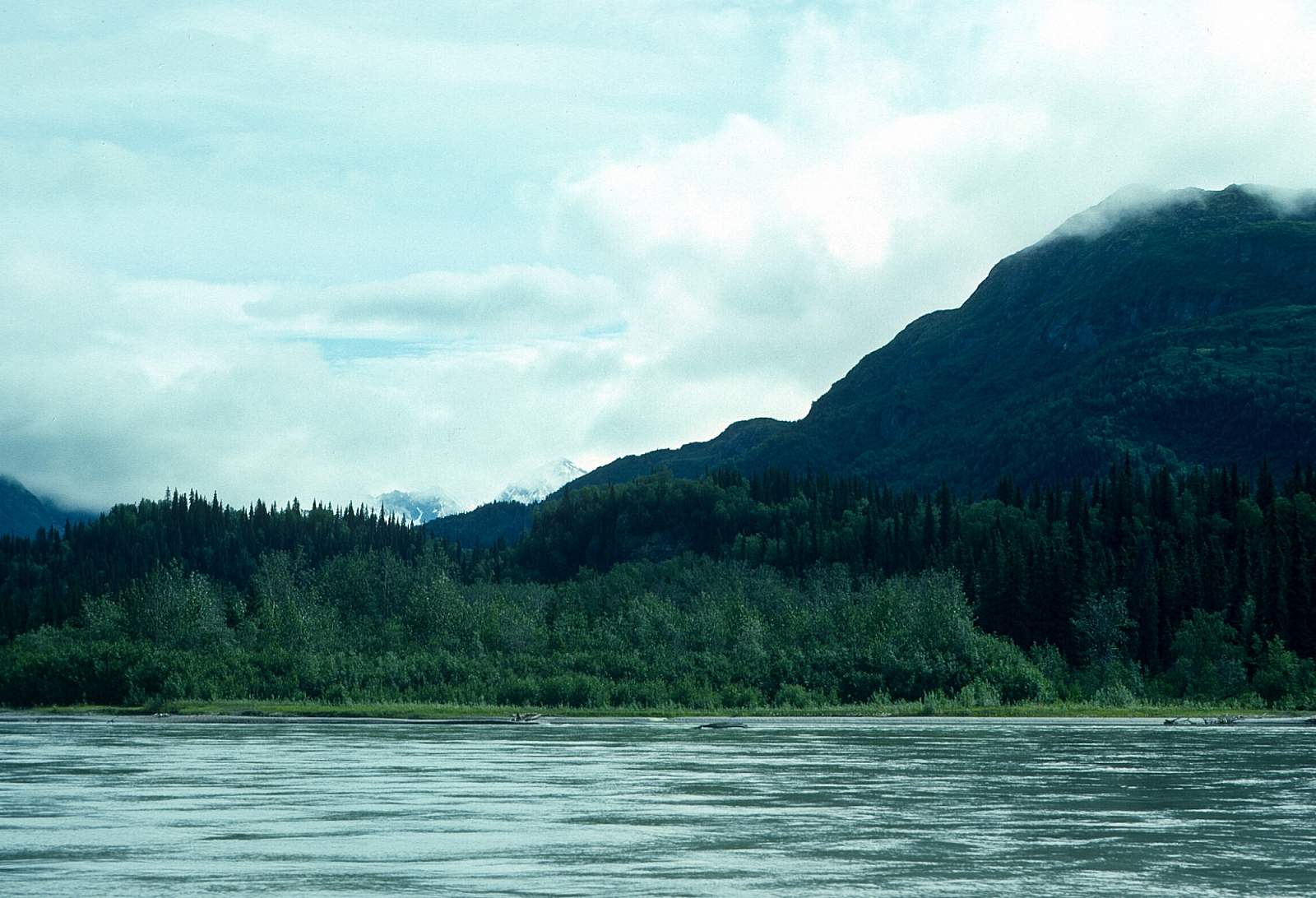
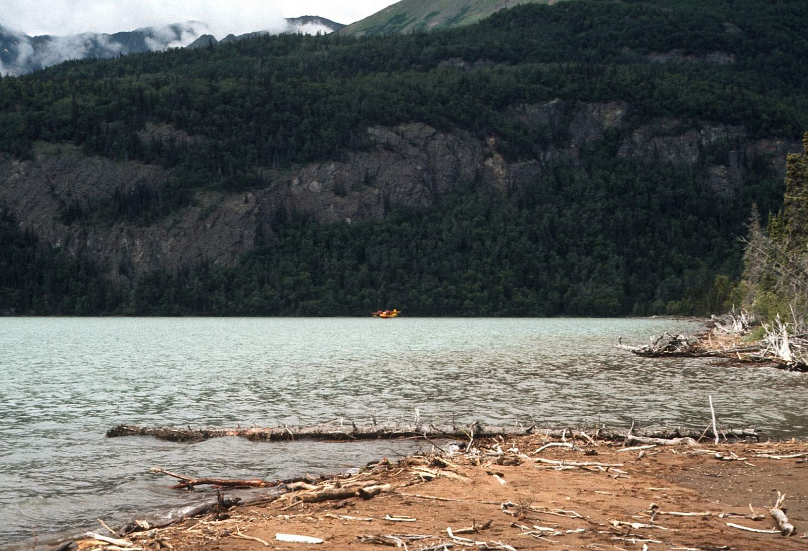
About a quarter mile downstream from the North Fork, the channels come together into one 100-foot wide channel, probably 10 feet deep, creating Class III rapids for a distance of about one mile. Just below the confluence is a Class III rapid that is Class IV at higher water levels and is easily lined along the left side of the river. Rafts have no problems here. For the next 10 miles there are swift Class II rapids but no obstacles. It is a single channel for about 3 miles then becomes braided. At one point on river left you can see up into Moose Pasture Pass, a low pass to the Chokotonk River. There are many braided channels to choose from along here. About 25 miles down is Otter Lake on river right. Ten miles below this is the entrance into the Lake. Stay to the right (west) for a bay and a beach camp that floatplanes can get to.
Other Advice
- Be sure and take a good look at the starting point as you are flying in to get your gear as close to the stream flow as possible.
- You will want to have insect repellant and be aware at all times that you are in bear country.
Tlikakila River GPS Coordinates
Mouth of the Tlikakila River
Take out is from Lake Clark and should be a prearranged pick up by floatplane along the lakeshore to the west of the river's mouth. It is possible to arrange for a boat to pick you up and transport you to Port Alsworth should that be preferred. Take out option for Tlikakila River.
60.77510900, -152.82111200
USGS Maps
Lake Clark B-2, B-3, C-1, C-2
Kenai C-8, D-8
Distance
51 miles
Days
3-6
Difficulty
Easy/Moderate
Class
I, II, III+
Craft
Kayak
Raft
Cost
$$