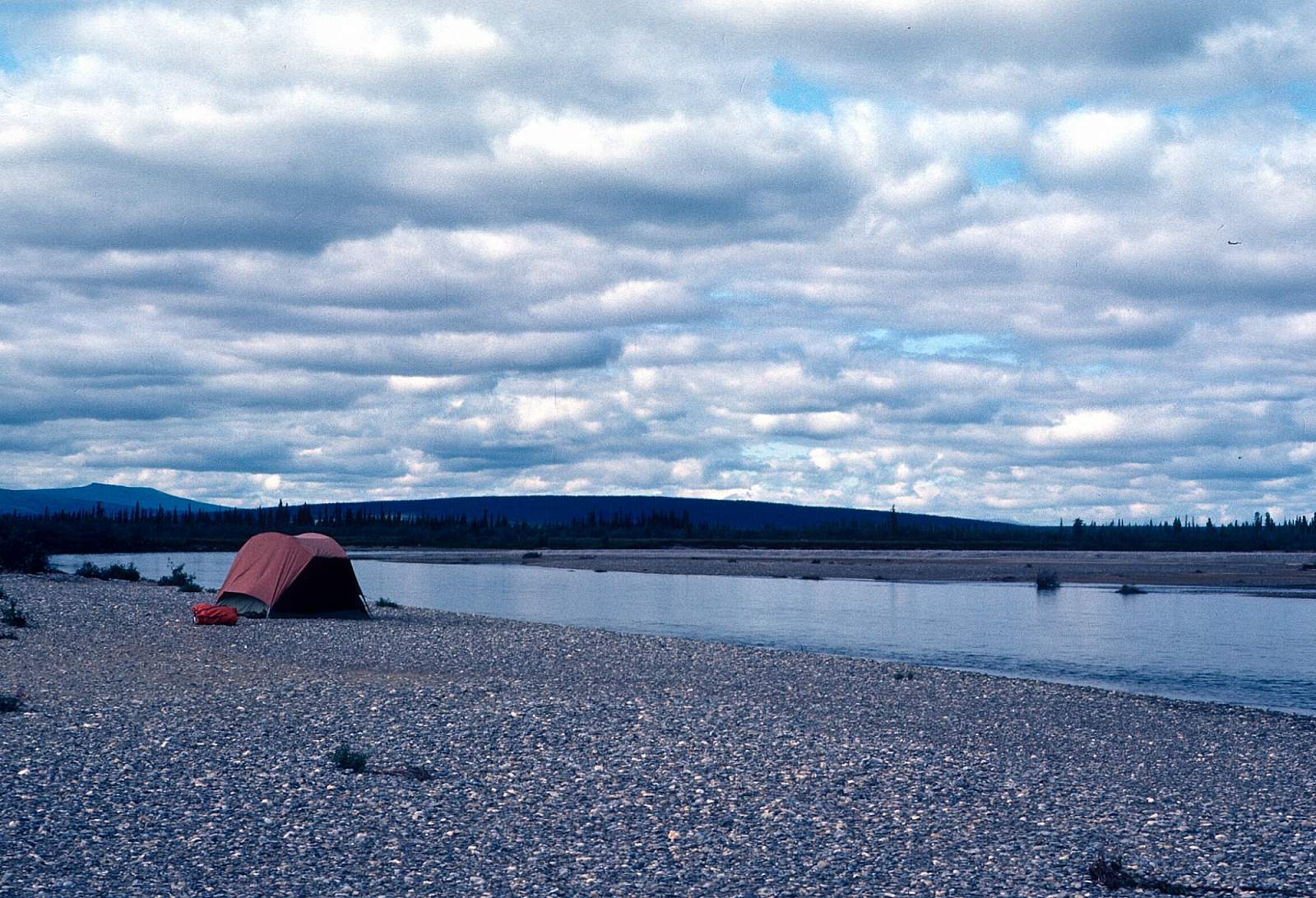
Why Float This River
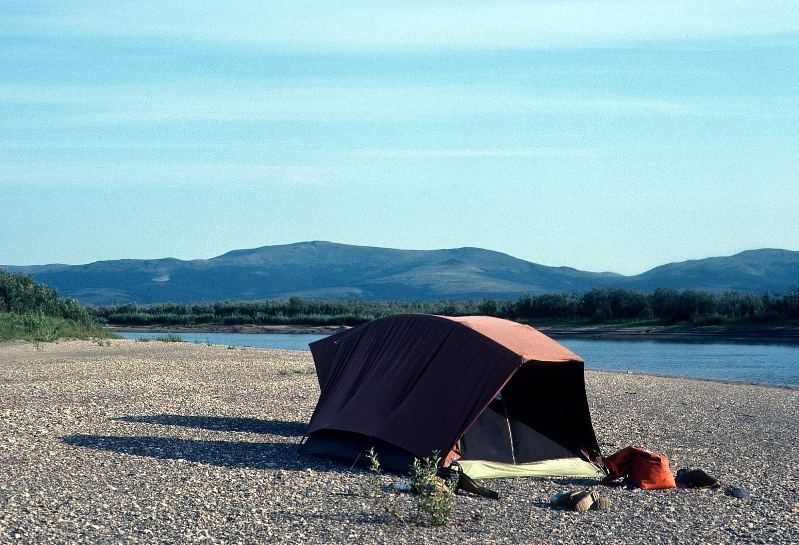
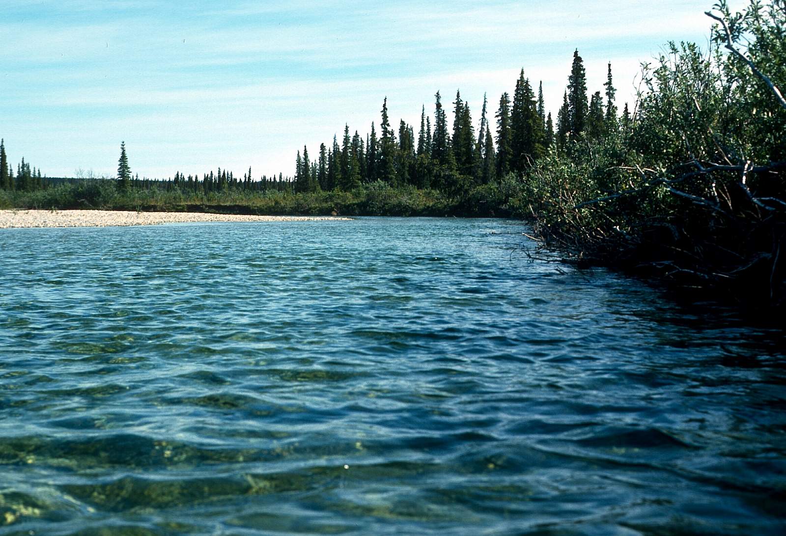
The Squirrel River is a very clear, small volume arctic river flowing south out of the foothills of the Baird Mountains to where it joins the Kobuk River at the village of Kiana. This is an easy float and well suited to families or beginner paddlers that are competent wilderness campers. There is good hiking in the upper mountainous region and good fishing all along the way. After August, water levels become low and the upper mountainous region off limits to all but folding canoes and kayaks while the lower 56 miles are suitable for rafts. The Squirrel River valley has been a traditional route from the Kobuk watershed to the Noatak watershed to the north for decades. The river offers an 80-mile or 56-mile Class I float trip above the N 67 degree latitude and would take 5 to 7 days to complete.
Put In
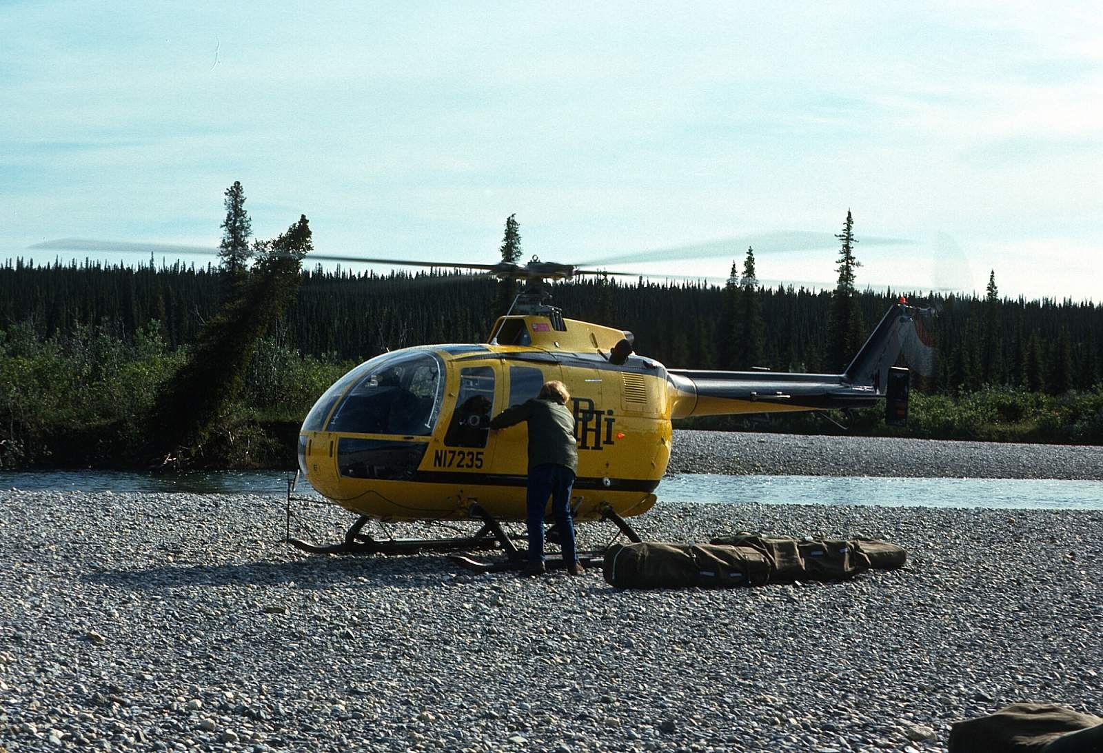
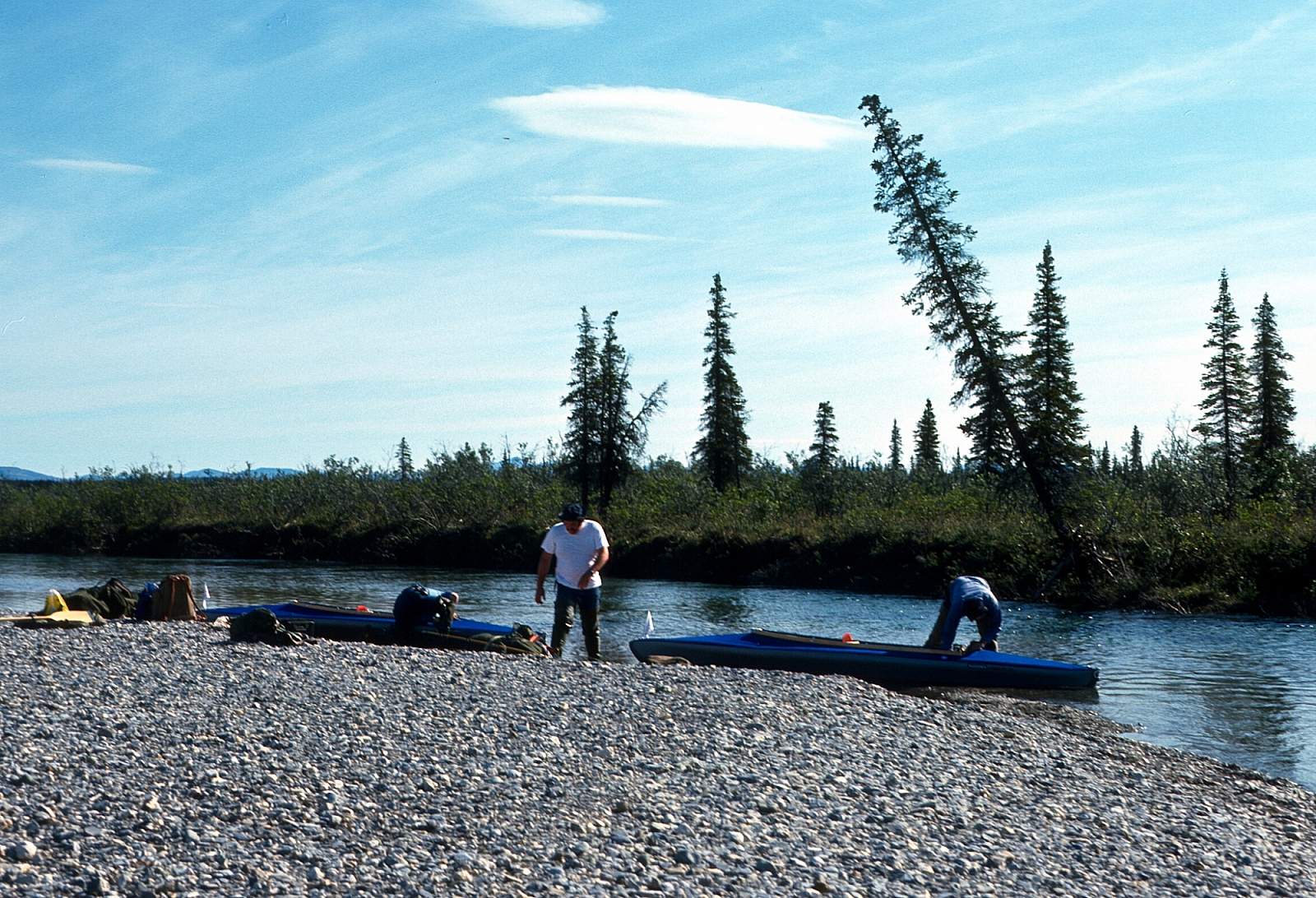
To get to the river you have to fly and this can be done by driving to Coldfoot, where an outfitter can take you directly to the river put in, or you can take a regularly scheduled commercial flight from Fairbanks to either Kotzebue, where you can charter a plane, or take another commercial flight to Kiana. From there you will need to charter a plane to take you to the put in at a gravel bar alongside the river. The upper section of river may be too low to float at times late in the summer. You will want to contact your flight operator about where they will advise you to go. If the river is high enough, go to the headwaters area where the West Fork joins the river and land on a suitable gravel bar near there. This area has great alpine hiking not far from the river and offers great views east up the Kobuk River Valley and south across the Kotzebue Sound, near your destination 80 miles away. At times of low water you will need to start at the confluence with the North Fork, especially if you are rafting. From here it is a 56-mile run to the take out.
Take Out
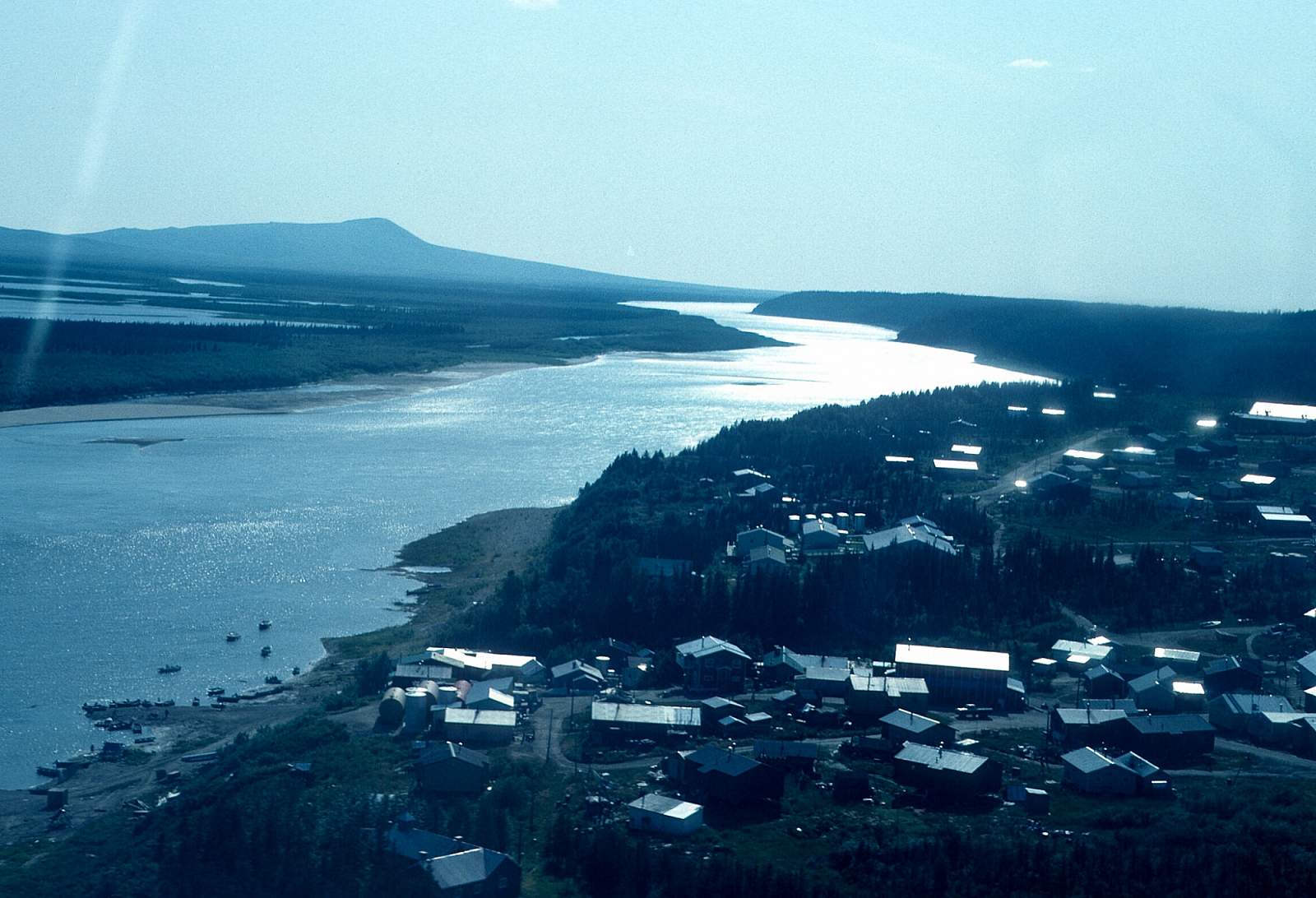
Take out is at the village of Kiana just downstream of where the Squirrel River joins the Kobuk River. Or you could float an additional 25 miles to the village of Noorvik. From here you can catch a commercial flight back to Kotzebue or perhaps on to Fairbanks, depending on the airlines schedules.
The Trip
West Fork to Above the North Fork Confluence: 24 miles
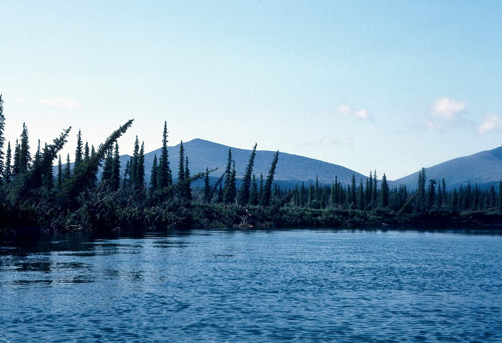
As mentioned, only when the river is high can a raft be reliably floated down the upper section of mountainous country. Rainfall is usually the reason the river is high enough for this section. Should the water be up, you will be rewarded by having a vast wilderness to yourself. The upper section of the river runs in a U shaped, half-mile wide valley lying between 300- to 400-foot rolling hills. There is good alpine hiking available along here and slow easy current over a braided gravel bed. The river flows to the east, meandering and braided at times or confined in a 15-foot wide channel of 2 mph current. No real obstacles or rapids are encountered.
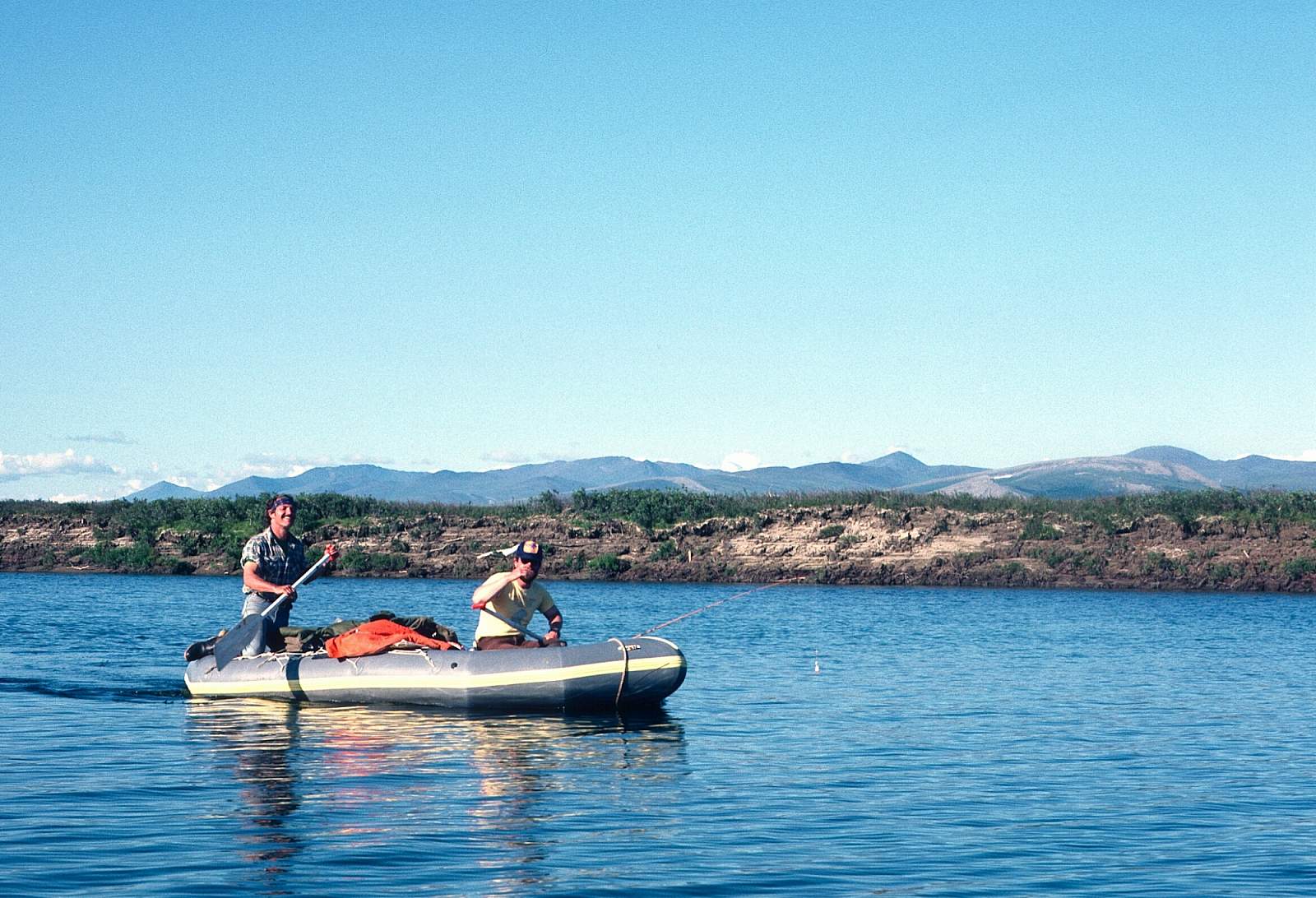
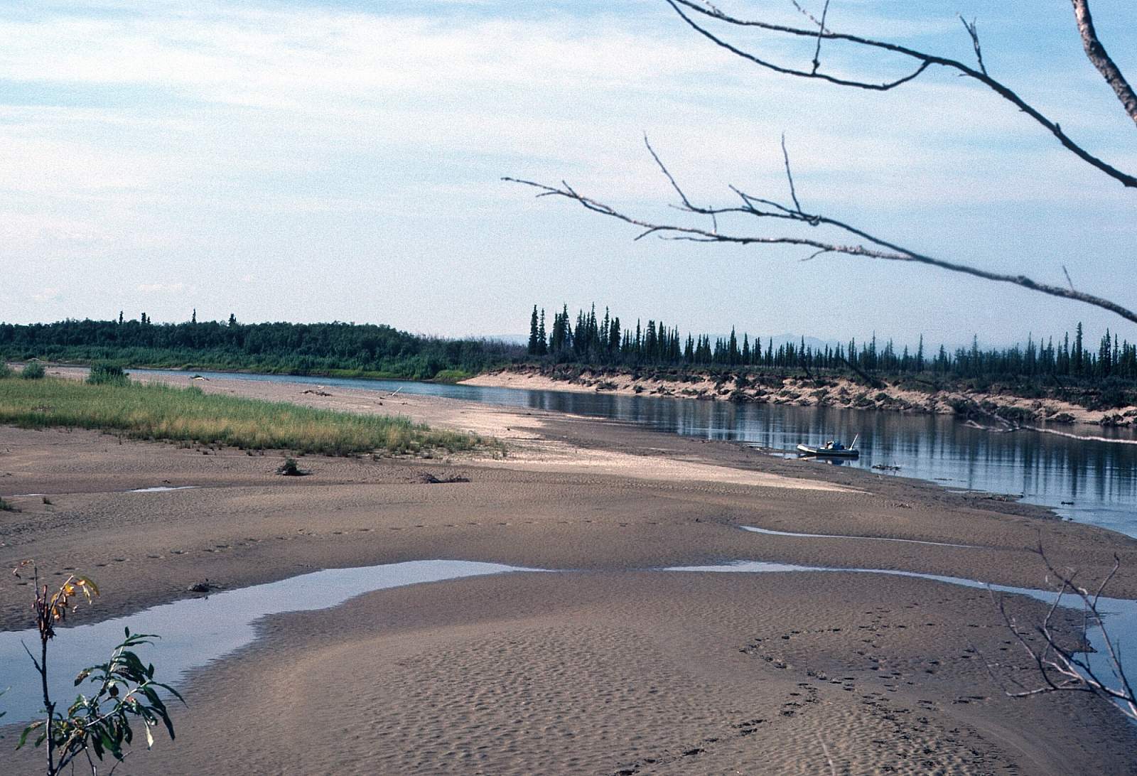
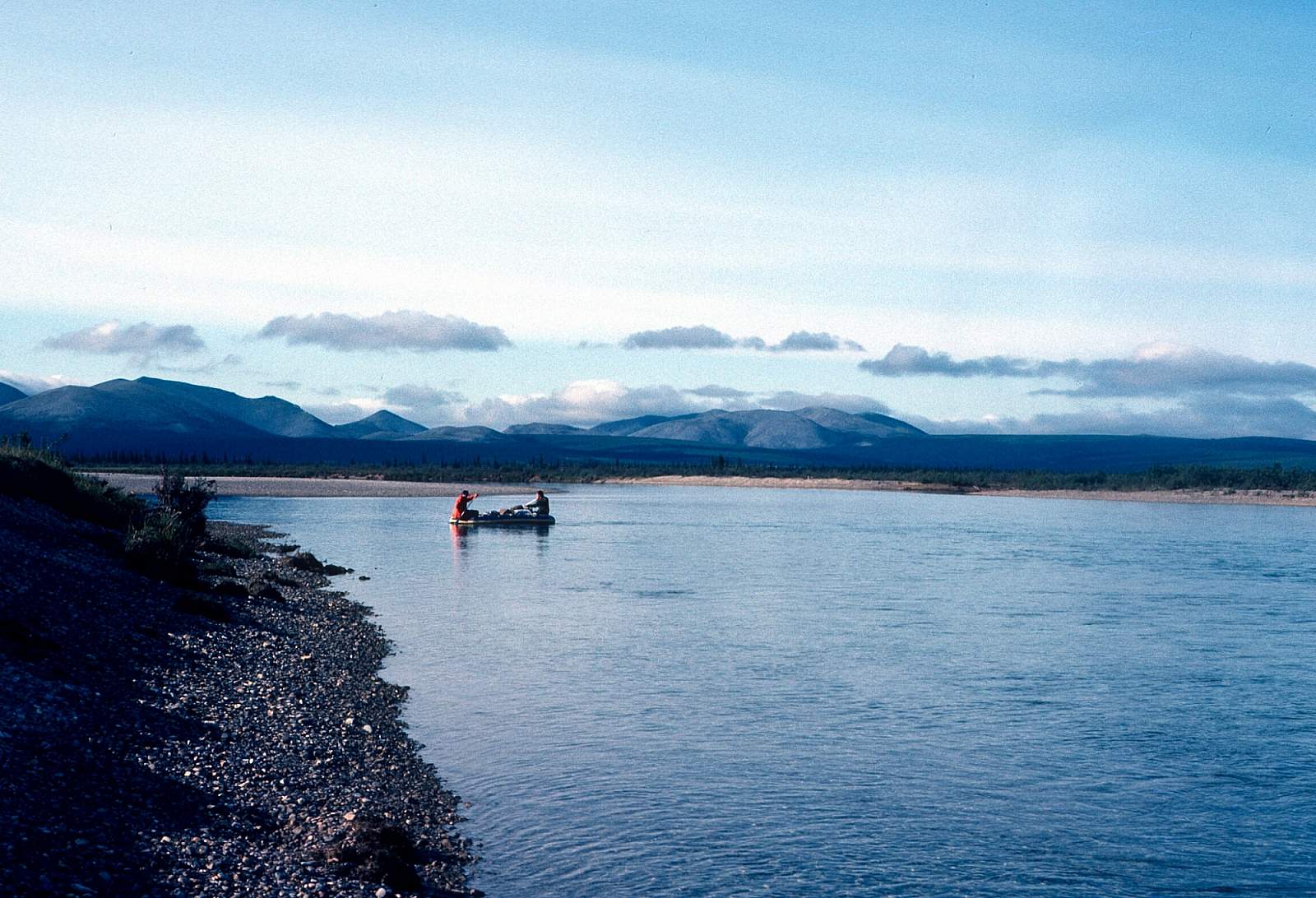
North Fork to Kiana: 56 miles
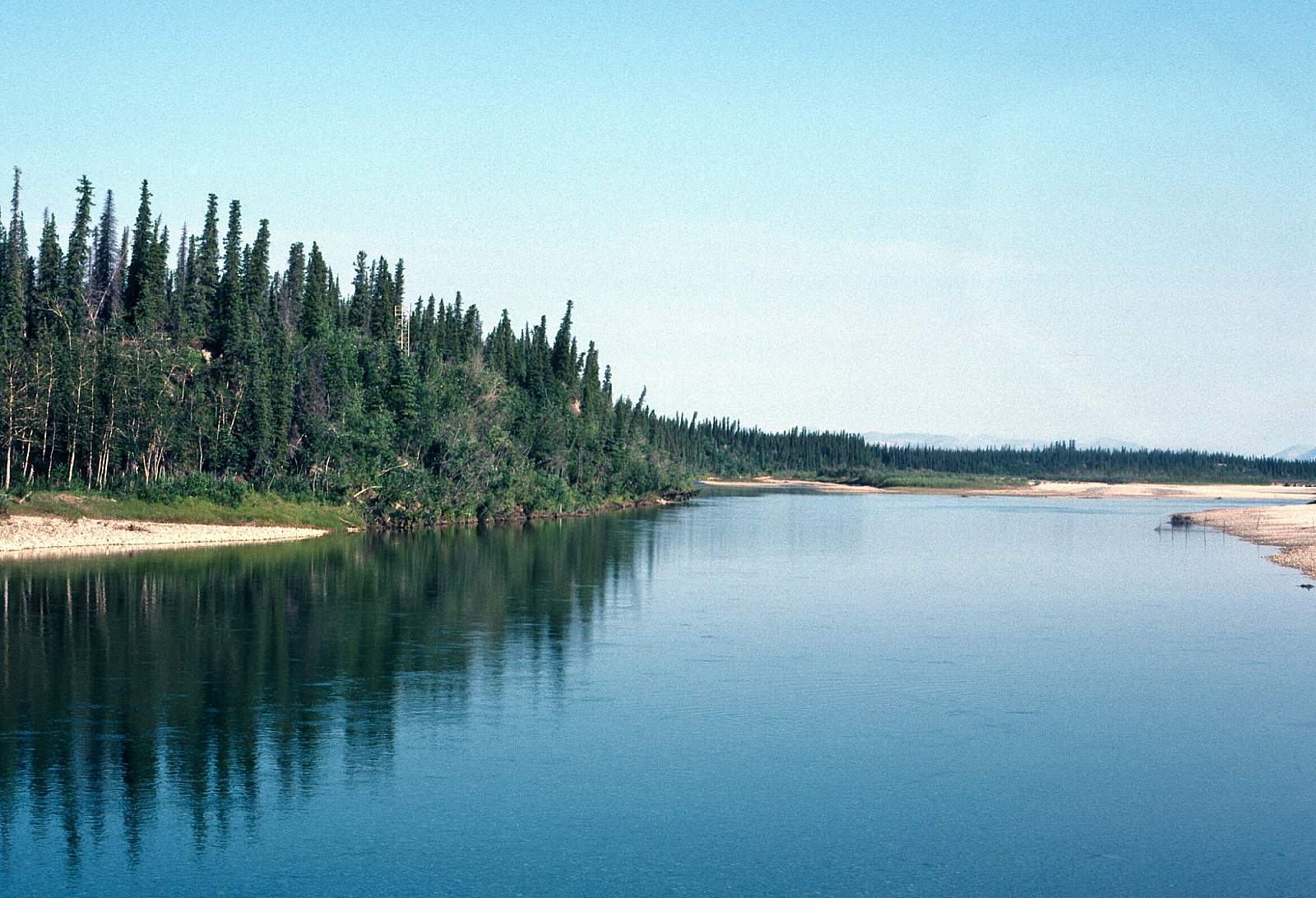
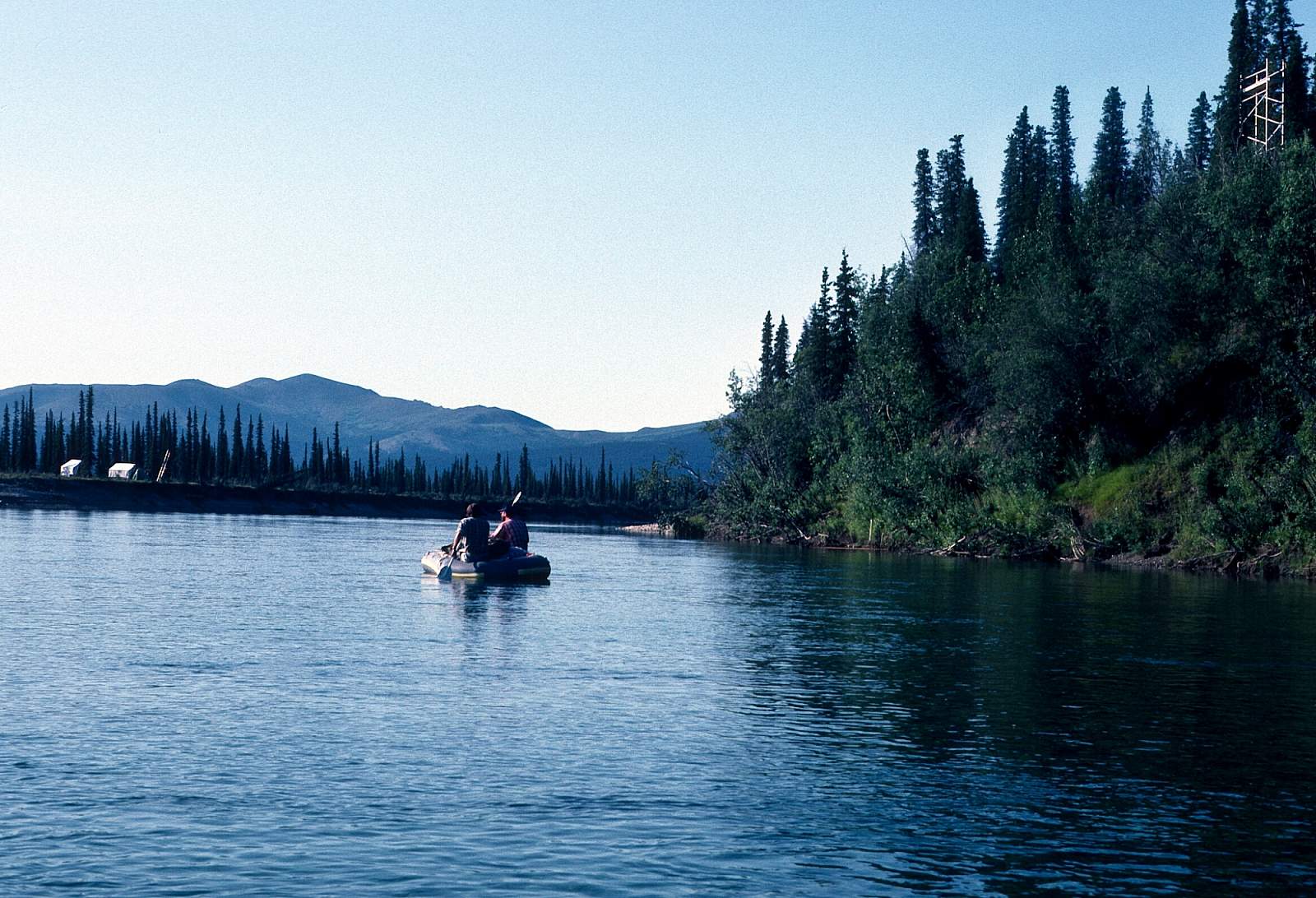
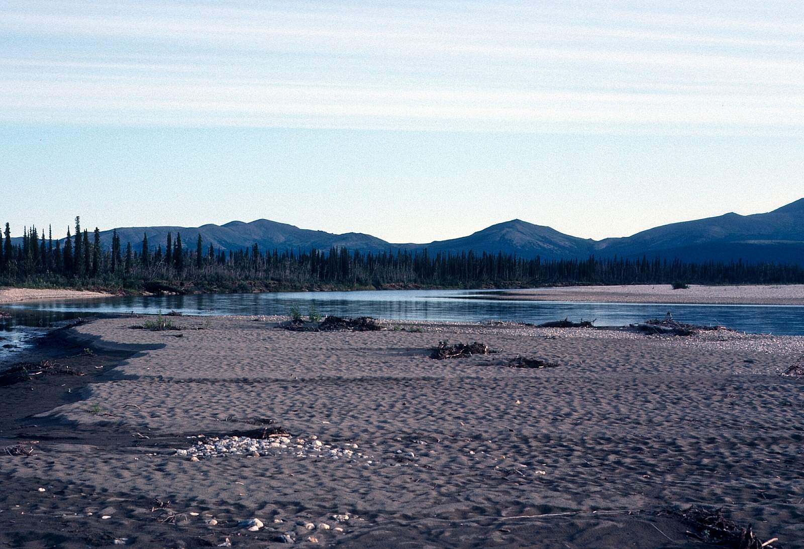
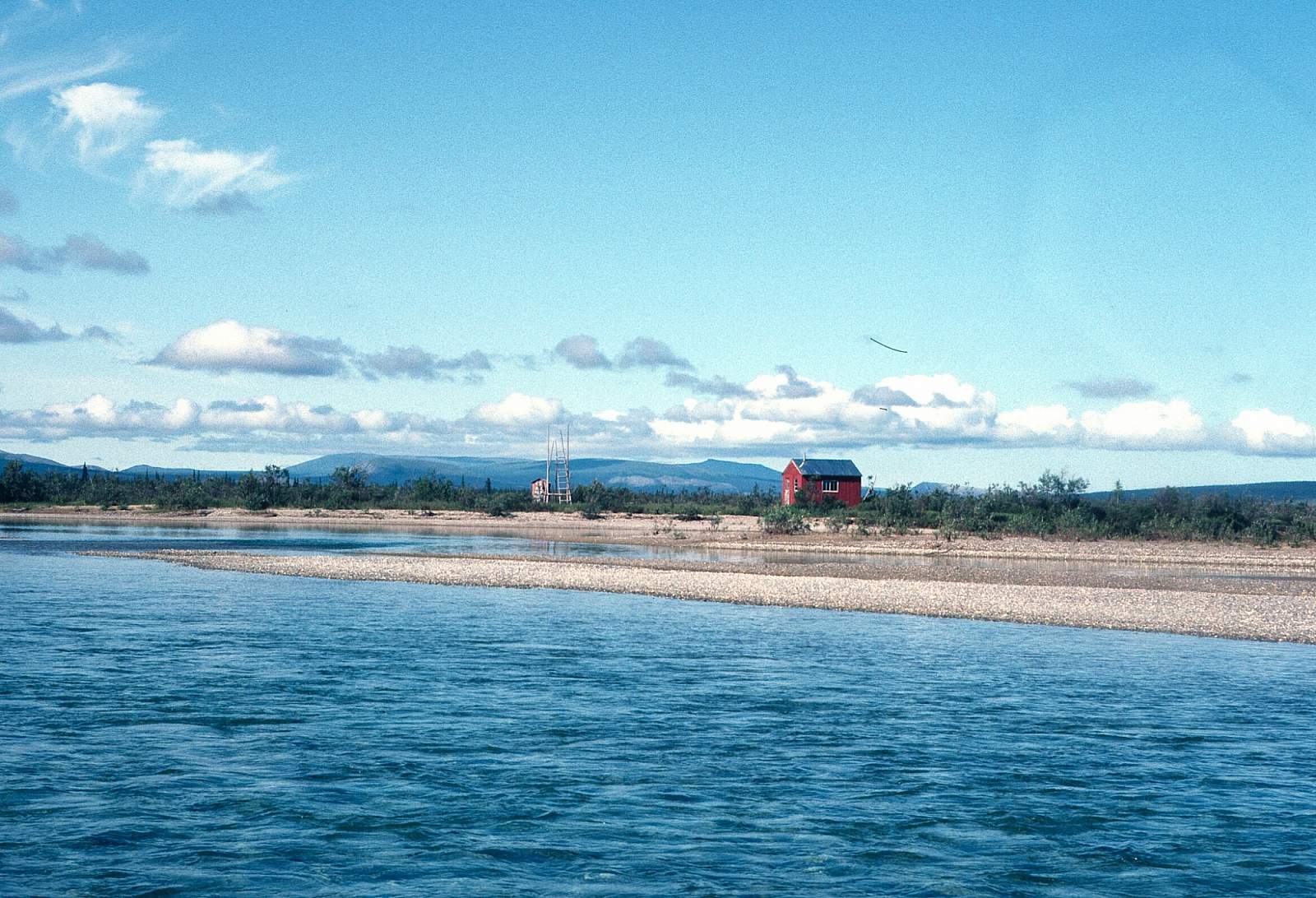
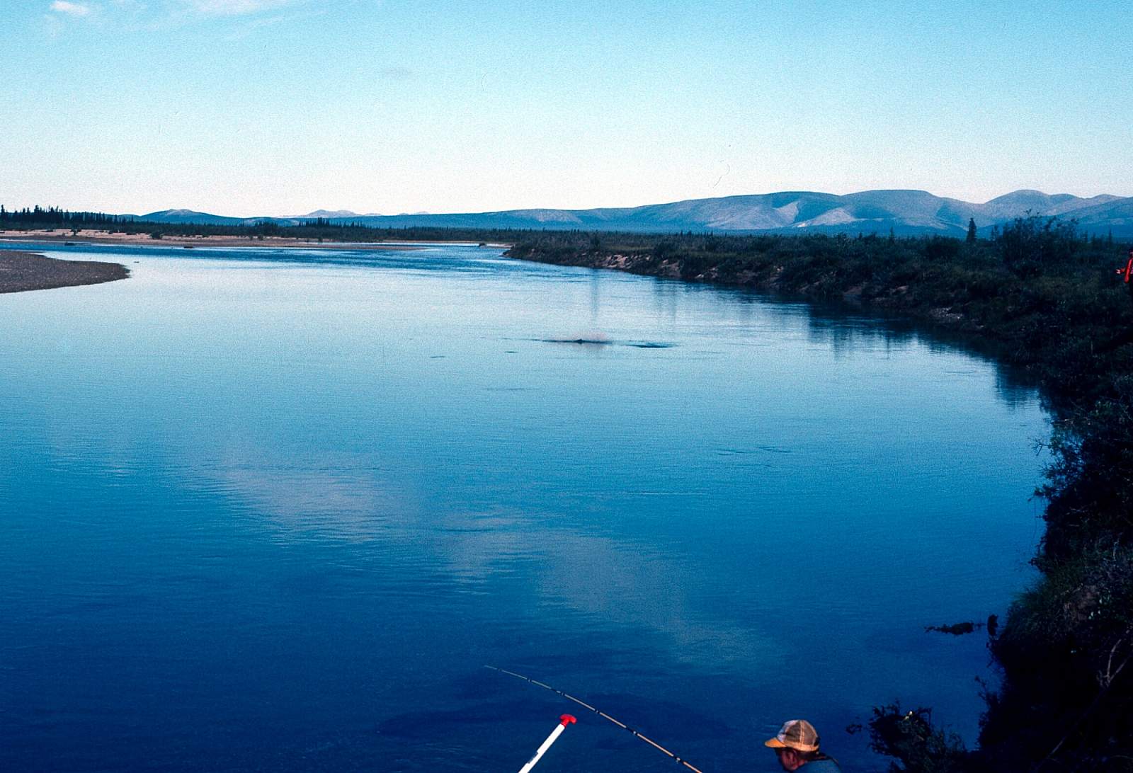
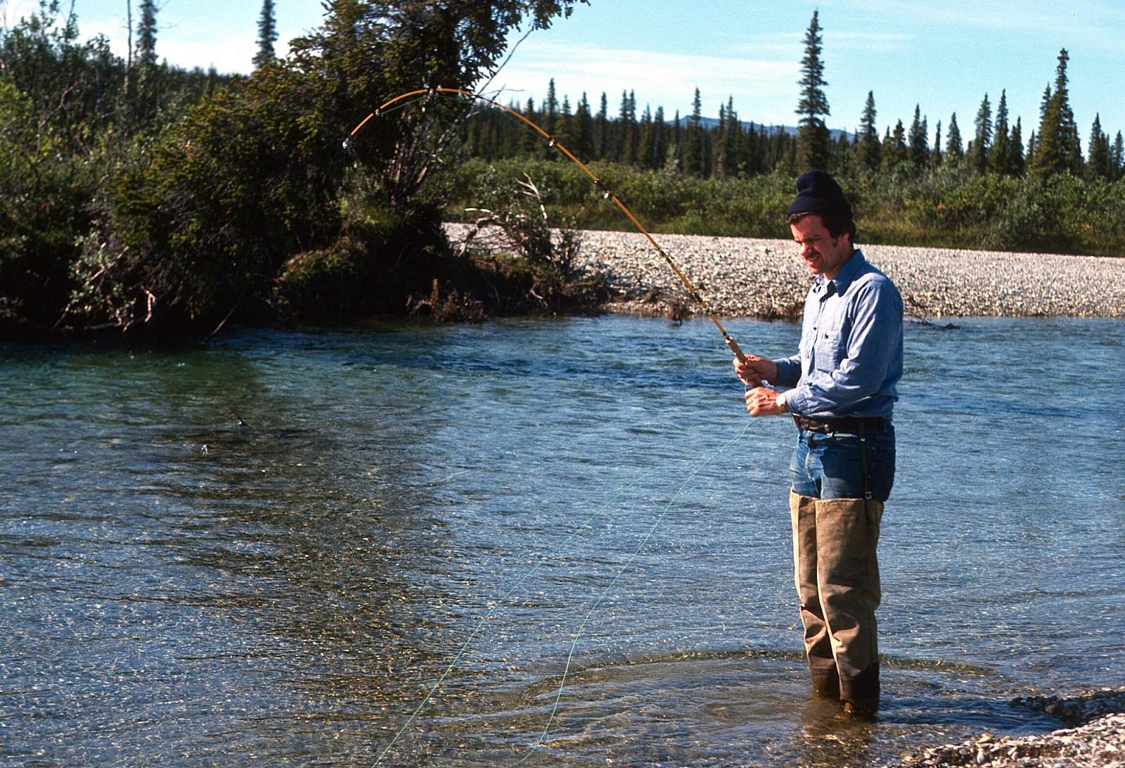
A few miles above the North Fork confluence is a gravel strip where most groups start their 56-mile trip from. The river is still small but with ample water to float a small raft. It is still meandering among braids or confined to a 40-foot wide single channel in the woods at other times. At the mouth of the Kobuk the river is 200 feet wide. The river valley widens to five miles with the 2000 feet high Kiana Hills appearing to the south. The dominant white spruce trees appear in more dense stands. There is good fishing along here and it is common to see groups in motorboats coming upriver to fish for Sheefish for the day along the lower section. These are mostly locals from the Koyuk villages. About 12 miles below the North Fork is the confluence with the Omar River, which enters from river left. Beyond this point the river is much larger and starts to meander with dead end sloughs along the southern shoreline. The lower section of river has a rough track along the north bank that runs up to some mining claims on Klery Creek. At the mouth of the river it is a deep clear river filled with Chum Salmon and Grayling along with the occasional migrating Sheefish. The village of Kiana is found on river right just after the confluence with the much larger Kobuk River. In Kiana are several flight operators, charter and commercial, that can take you to Fairbanks or to Kotzebue for your connection to Fairbanks.
Other Advice
- There are few subsistence cabins and fishing nets on the lower river and should be left alone.
- The airstrip in Kiana is a half-mile from the river but there is often someone willing to help you get your gear moved.
- There is a small store in the village if you are low on supplies.
- There is an abundance of birdlife to be seen include Loons Jaegers, Sandhill Cranes Whimbrels, etc.
Squirrel River GPS Coordinates
Headwaters of Squirrel River
To get to the river you have to fly and this can be done by driving to Coldfoot, where an outfitter can take you directly to the river put in, or you can take a regularly scheduled commercial flight from Fairbanks to either Kotzebue, where you can charter a plane, or take another commercial flight to Kiana. From there you will need to charter a plane to take you to the put in at a gravel bar alongside the river. The upper section of river may be too low to float at times late in the summer. You will want to contact your flight operator about where they will advise you to go. If the river is high enough, go to the headwaters area where the West Fork joins the river and land on a suitable gravel bar near there. This area has great alpine hiking not far from the river and offers great views east up the Kobuk River Valley and south across the Kotzebue Sound, near your destination 80 miles away. Put in option for Squirrel River.
66.98333330, -160.40000000
Squirrel-North Fork Confluence
At times of low water you will need to start at the confluence with the North Fork, especially if you are rafting. From here it is a 56-mile run to the take out. Put in option for Squirrel River.
65.15534800, -152.04162600
USGS Maps
Baird Mountains A-3, A-4, A-5, B-5, B-6
Selawik D-3
Distance
56-80 miles
Days
5-7
Difficulty
Easy
Class
I
Craft
Canoe
Kayak
Raft
Cost
$$$