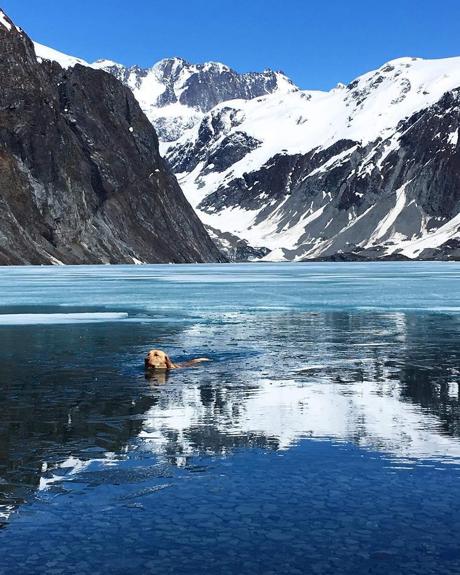
This popular trail at Mile 24.6 of the Copper River Highway stretches 3.1 miles each way (for a 6.2-mile round-trip) that should take about 4.5 hours. It’s an easy hike along flat ground that makes it doable for everyone. Along the way, the trail takes you through the Chugach National Forest and up through a glaciated valley, where you’ll see craggy mountains and look for mountain goats. Mountain bikers take to the trail, too, sometimes with stand-up paddleboards to paddle out on the lake. Unless you get out on the water, you won’t actually be able to see the receding glacier. But if you’re here in winter, you can walk across the lake and get right up to it. And bring your skates if you want to try wilderness ice skating; it’s generally best in late November through early January, before there’s a lot of snow accumulation on the ice. Be sure to check out our tips for safely skating in Alaska’s wilderness.
Saddlebag Glacier Trail
Distance
6 miles
Difficulty
Easy
Getting There

Coordinates
Latitude: 60.451377Longitude: -145.106193
Drive to Mile 24.6 on the Copper River Highway, then turn north (left) on a firewood-cutting road; the trailhead is a mile down at the end of the road.
Photos