Why Take This Hike
If you want to get away from the crowds and the bustle of the Seward Highway, then consider Point Hope Trail, some 90 miles south of Anchorage on the far side of the historic village of Hope. This family-friendly, 2.5-mile trail climbs 3,600 feet (sometimes steeply and sometimes shallowly) to a summit seemingly poised halfway between the sea and the heavens.
The Details
When you turn onto Hope Cut-Off from the Seward Highway, the traffic thins and the road narrows. You’ll feel like you’ve left much of the world behind—a feeling that intensifies as you drive along the upper edge of Hope and on toward the end of the road. Make the left turn just before the road dead-ends at Porcupine Campground and drive to Point Hope Trail.
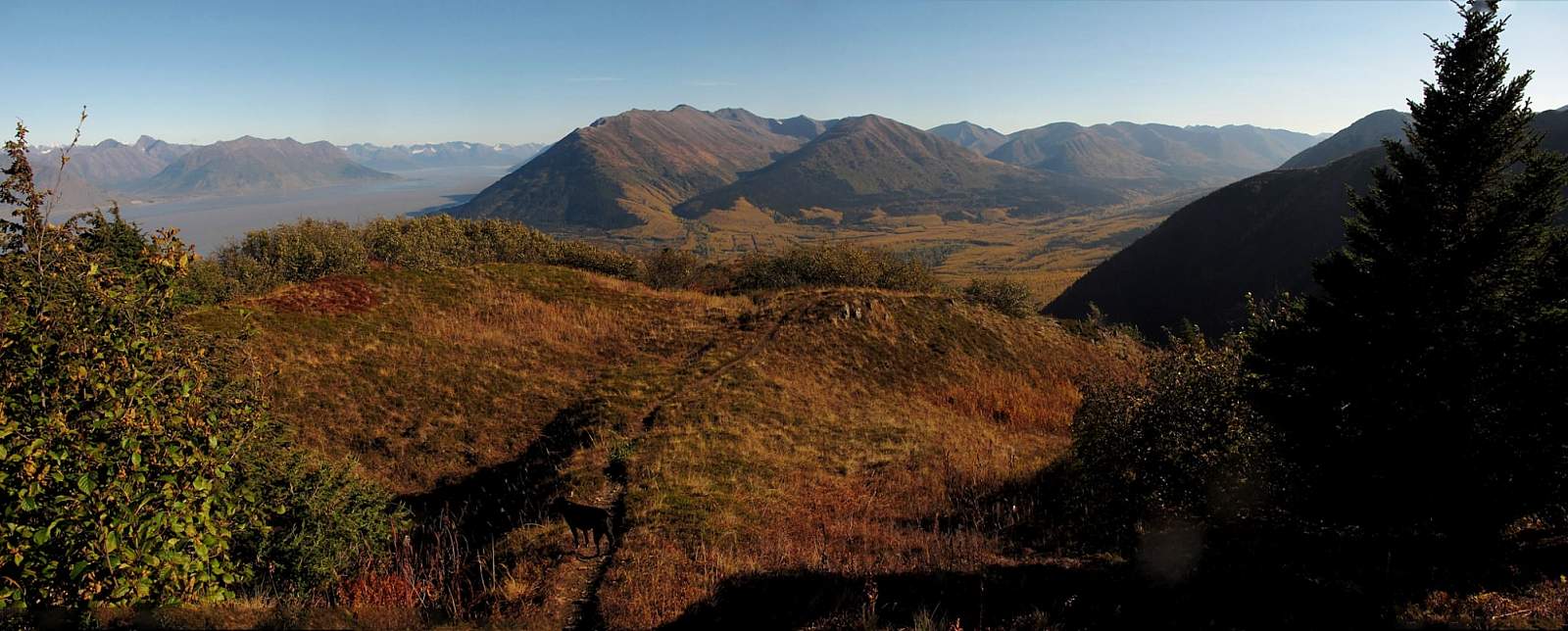
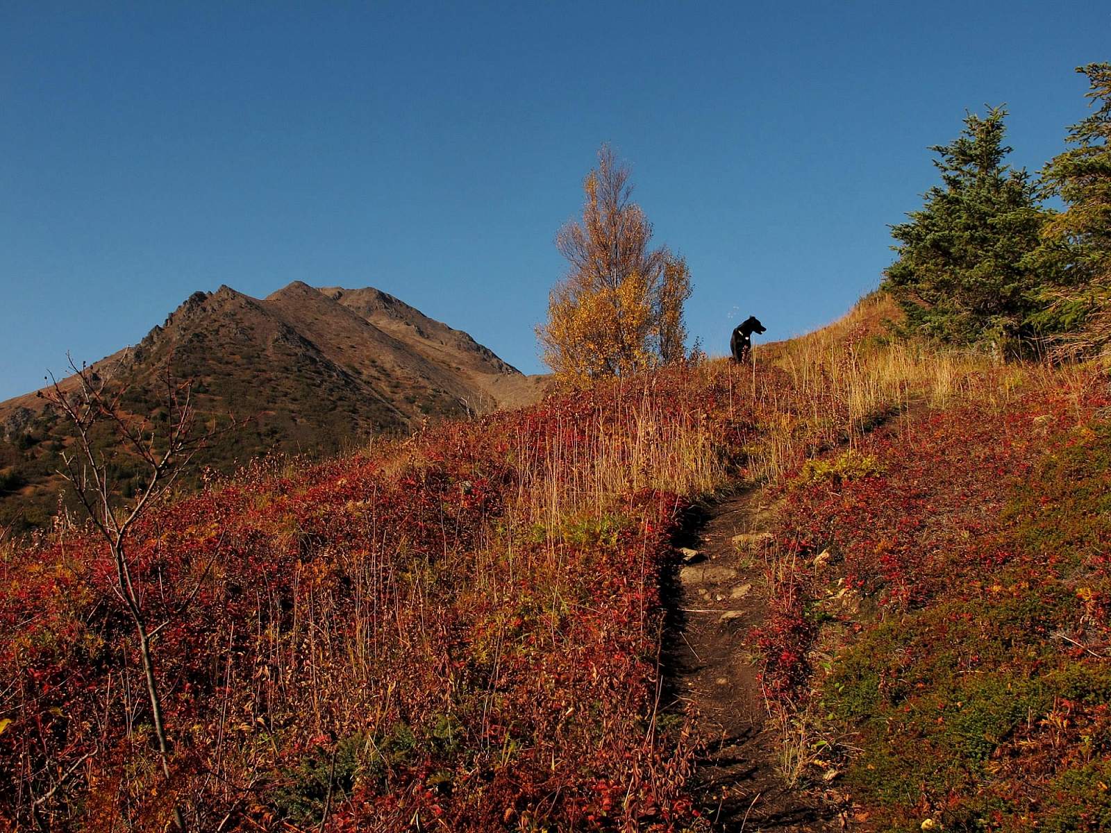
As you start hiking the wide switchbacks on the lower part of the trail, you’ll pass murmuring streams and catch glimpses of red squirrels. Higher up you’ll start to spy Hope and the Resurrection River drainage extending eastward below you. At times you may even catch glimpses of Turnagain Arm.
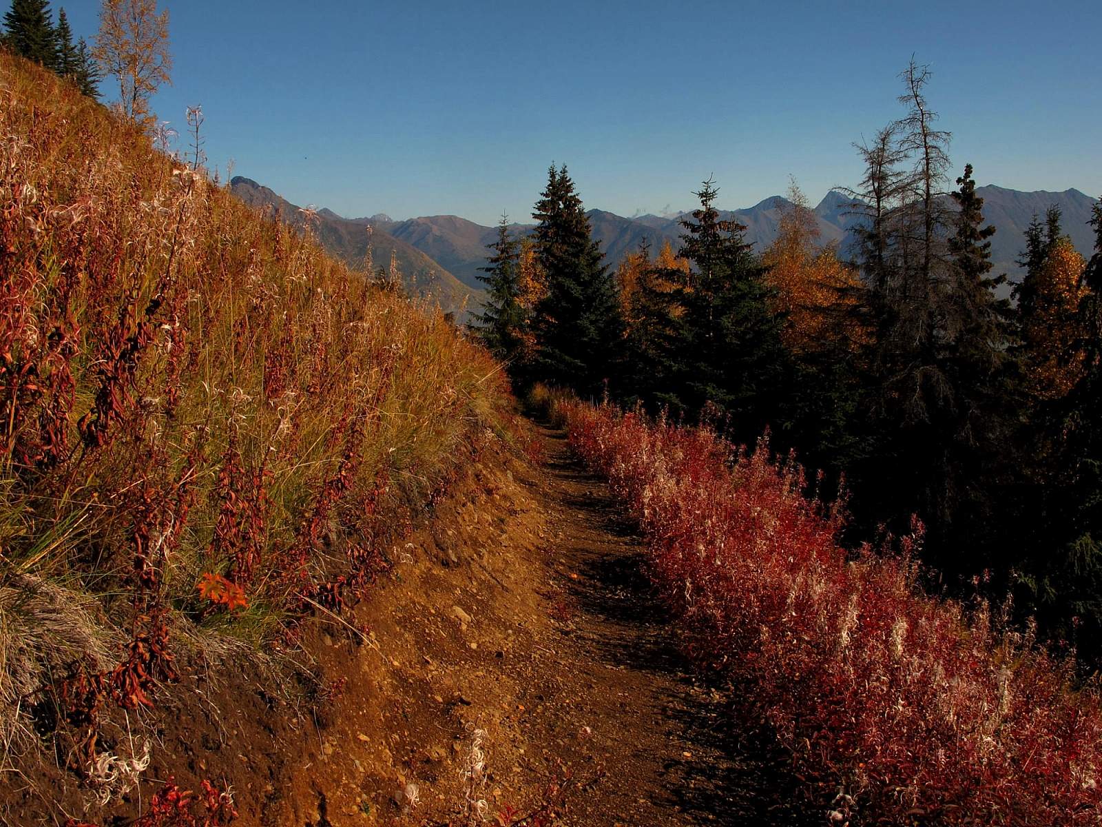
Eventually, up on a rather steep slope, the switchbacks come to an end and the difficult hiking begins. Following the dirt slot of the old trail up the slope, you may have to use your hands at time. But this steep climb doesn’t last long. Within a few hundred feet, the grass slope rolls over onto a gentler angle of the mountain’s east buttress and you’ll clearly see the summit.
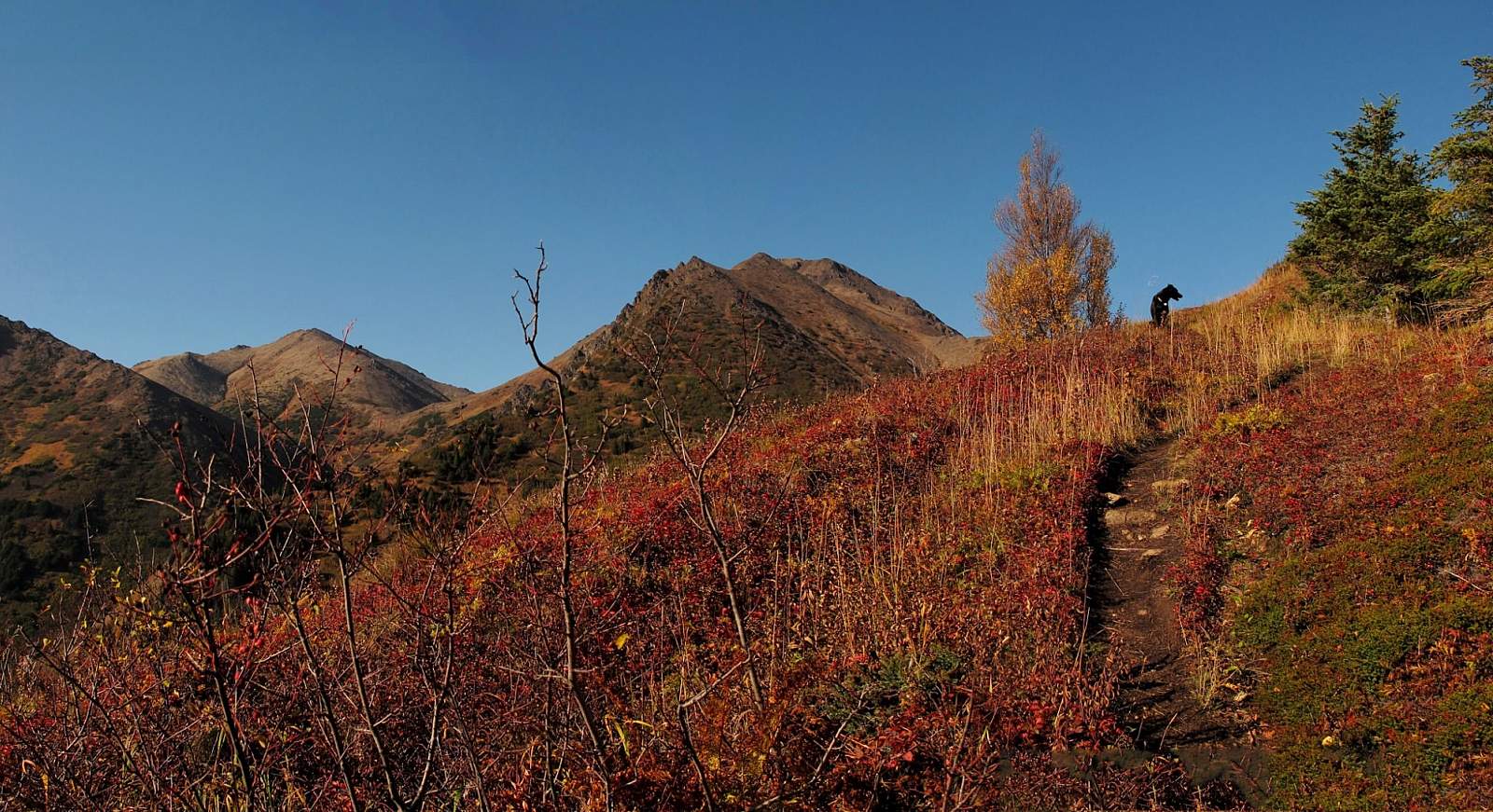
Wind up through the open spruce and willow stands and you can enjoy views in all directions—from the silver waters of Knik Arm to the west and many miles down Turnagain Arm to the east. As you climb, the brush will thin out until the trail carries you up onto the wide-open tundra. Now the summit looms almost directly overhead.
But one more bit of tricky scrambling remains before you can begin the final climb to the top. This scramble takes you across a short and narrow rocky causeway. Hugging the left side of the causeway, the trail makes this scramble much easier than you might expect, though negotiating the sharp rocks and steep faces requires some effort.
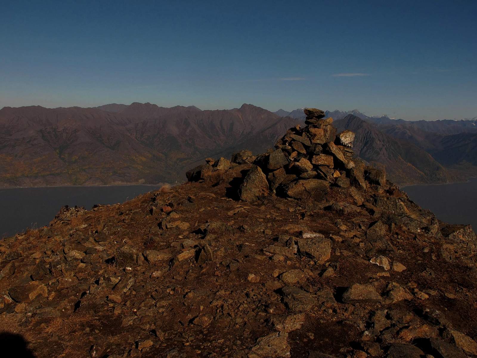
At the far end of the causeway, you’ll reach the base of the broad summit cone; here, the trail widens and turns abruptly upward. As you approach the summit, the trail swings left (south) along the face of the summit cone and reaches a high, shallow notch just behind the summit. Now turn sharply right (north) for the final 0.2 miles of steady climbing to the 3,706-foot summit.
If you reach the summit on a calm, clear day, you’ll see Anchorage in the distance to the north. Then look down 2,000 feet into the inner recesses of Turnagain Arm and the deeper waters of Cook Inlet. You may feel like a sentinel looking out from the edge of the world into the great deep of the oceans beyond.
Linger in this feeling by spending the night at Porcupine Campground, located just 0.25 miles from the trailhead. There in the woods, bordering the edge of Turnagain Arm, you can fall asleep to the sound of moving waters below and rustling winds above.
Author: Shawn Lyons