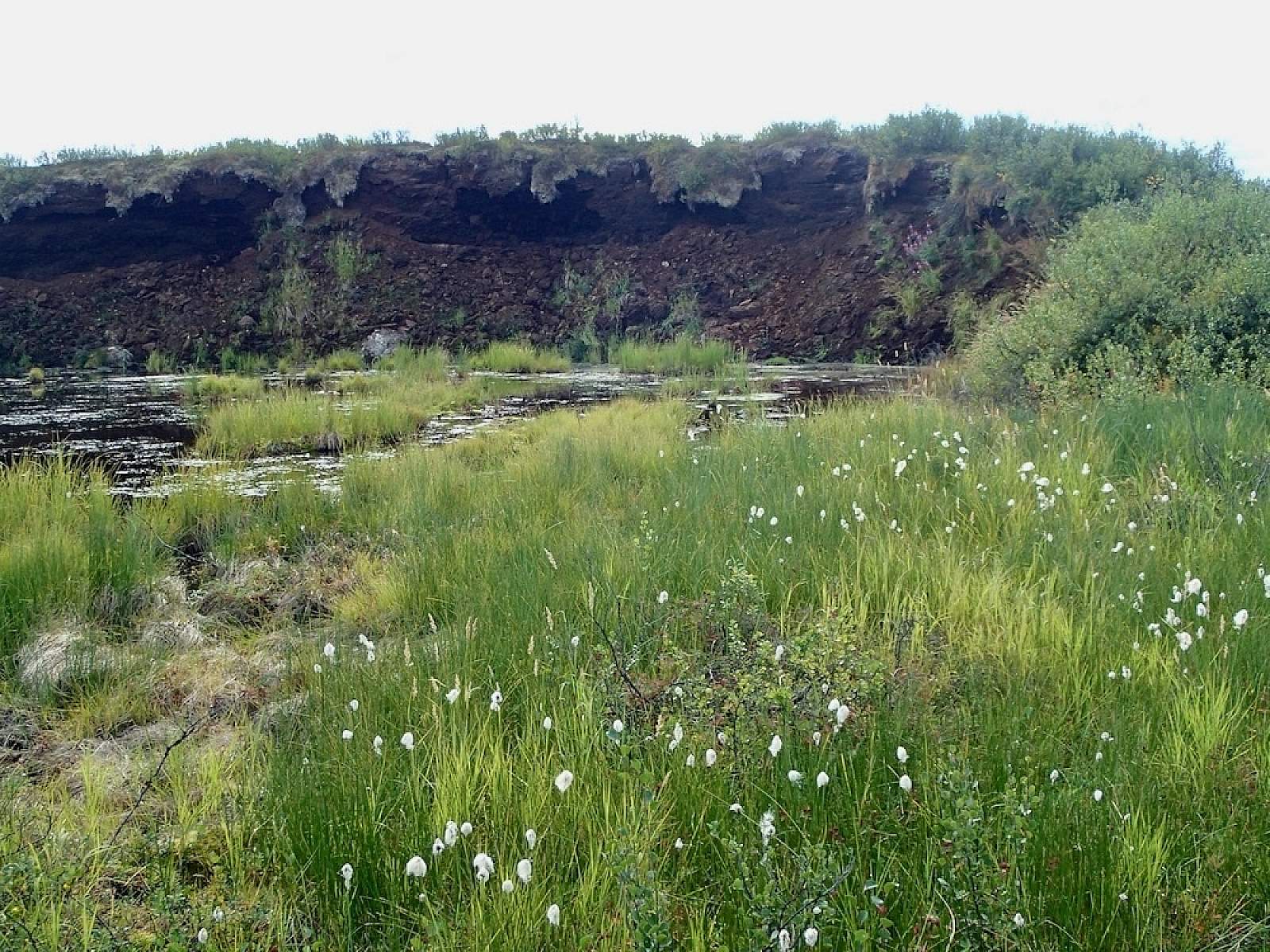
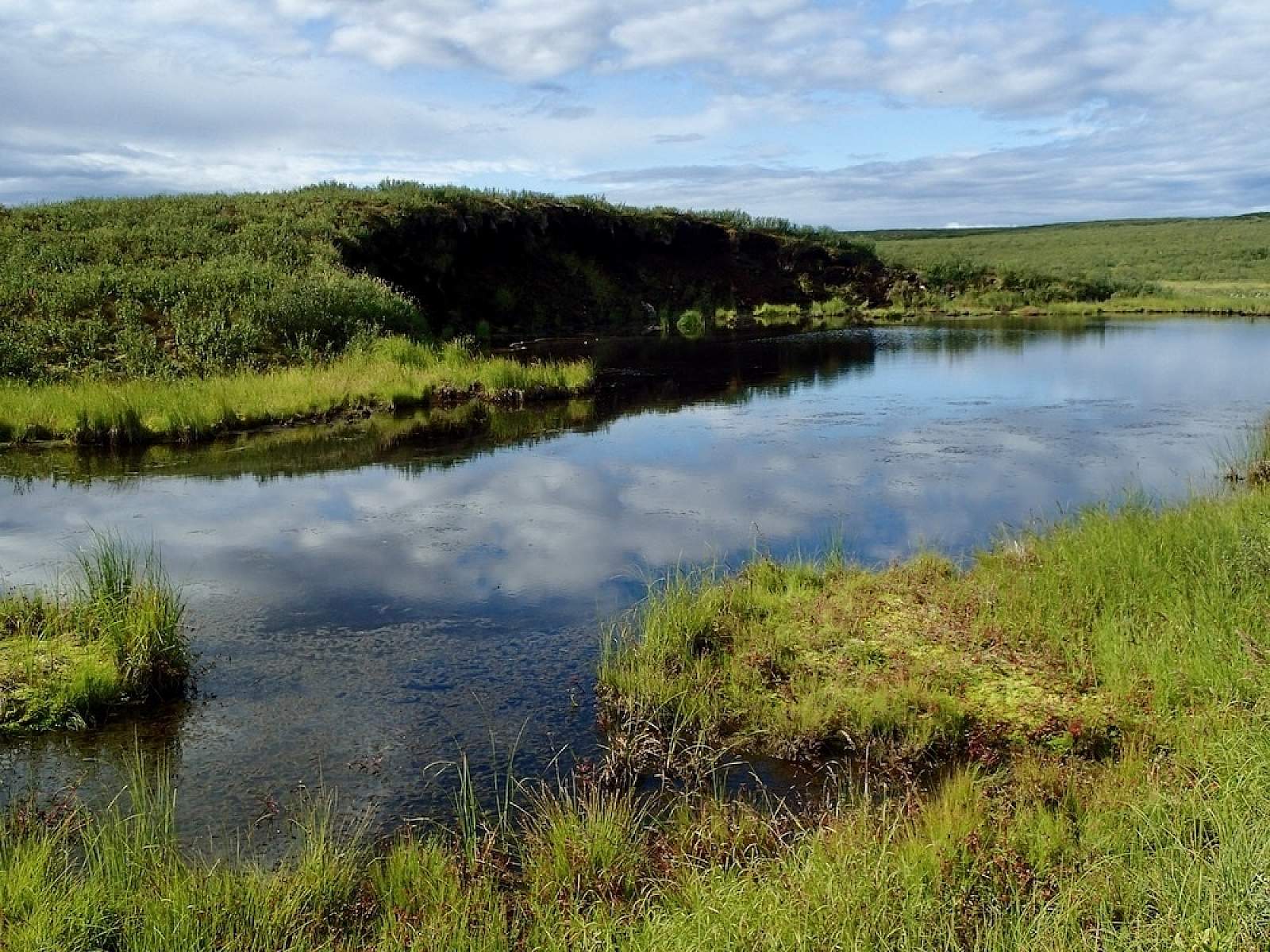
An ice age landform haunts the valley bottom. Construction of the highway in 1957 stripped the insulating cover from the ice-and-peat core of a partially collapsed palsa, and this road side example of a common subarctic phenomenon has been deteriorating ever since. Known by its Finnish name, a palsa is basically a large, oval frost heave where underlying ice and permafrost have elevated the soil into a big mound. This particular dome—perhaps 20 feet high at its peak—has been eroding long enough to form a shallow pond surrounded by spongy tundra, known as a “palsa bog.” In late summer, it’s startlingly lush, with sun-warmed waters rich in insect life, and a stop for migrating birds.
Perhaps with water shoes or rain boots, try walking across the bog toward its face, where you can inspect the alternating layers of peat and ice. Be careful to watch for traffic if you stop; there is no designated parking on the shoulder.