Nigu-Etivluk Rivers Float Trip Guide
Why Float This River
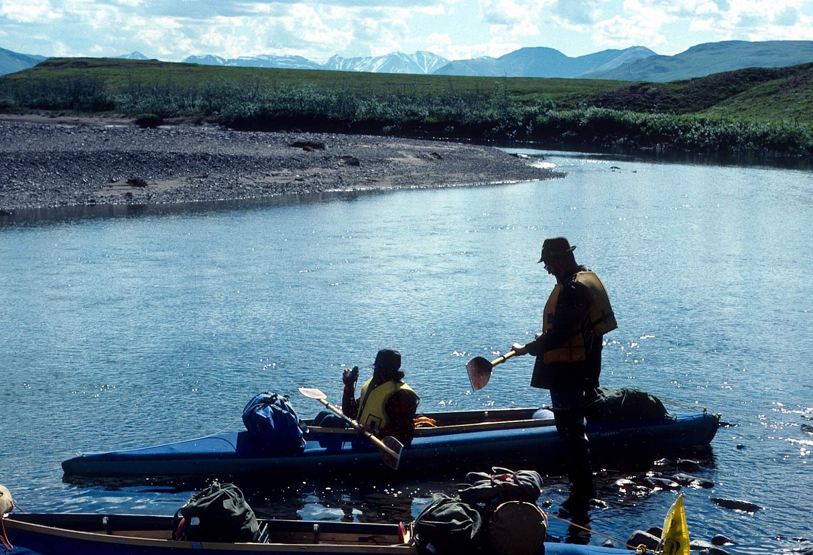
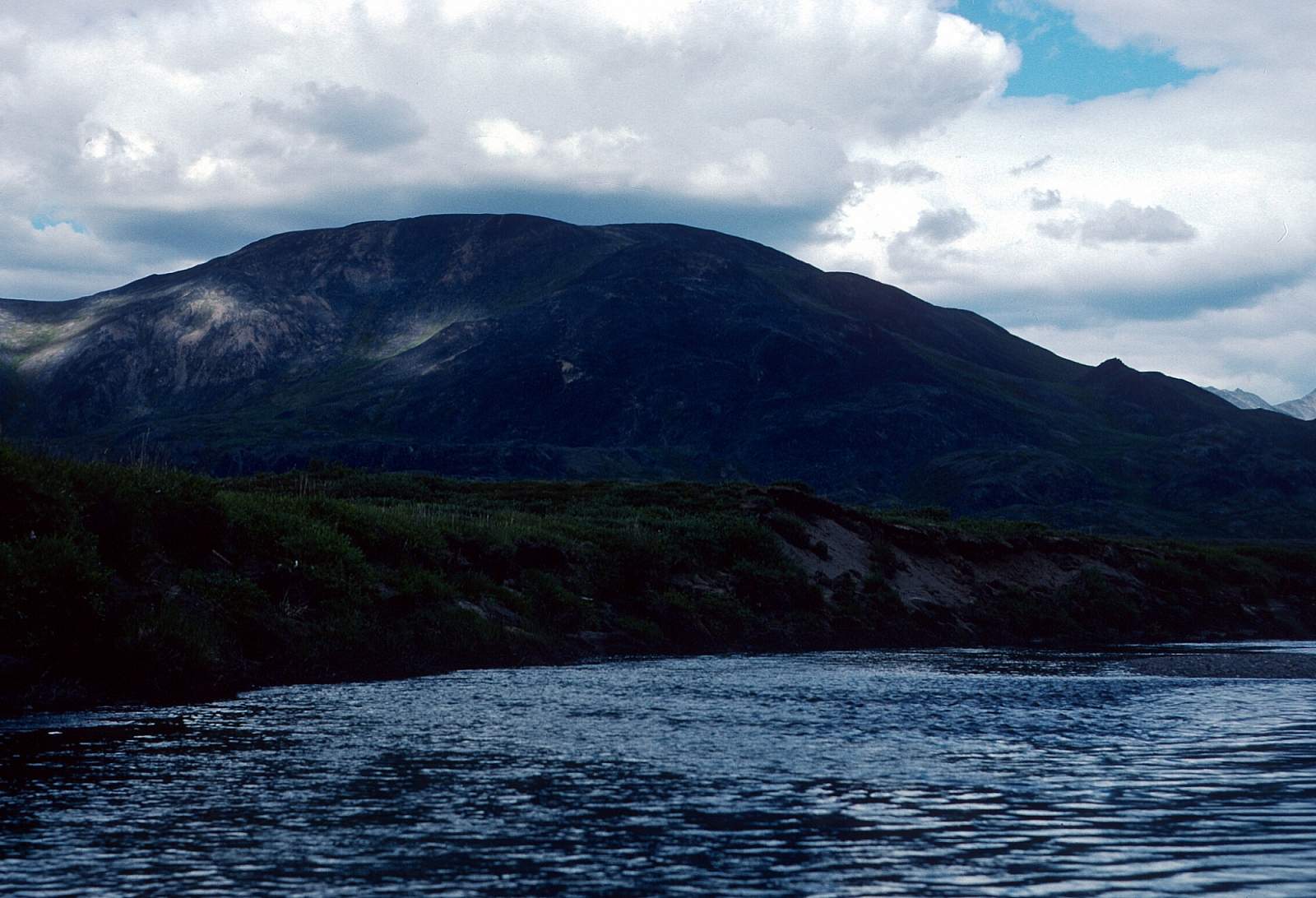
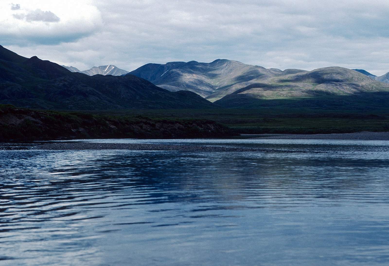
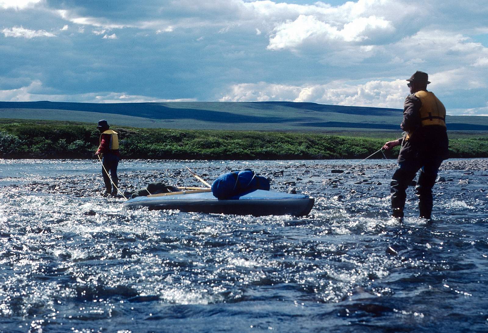
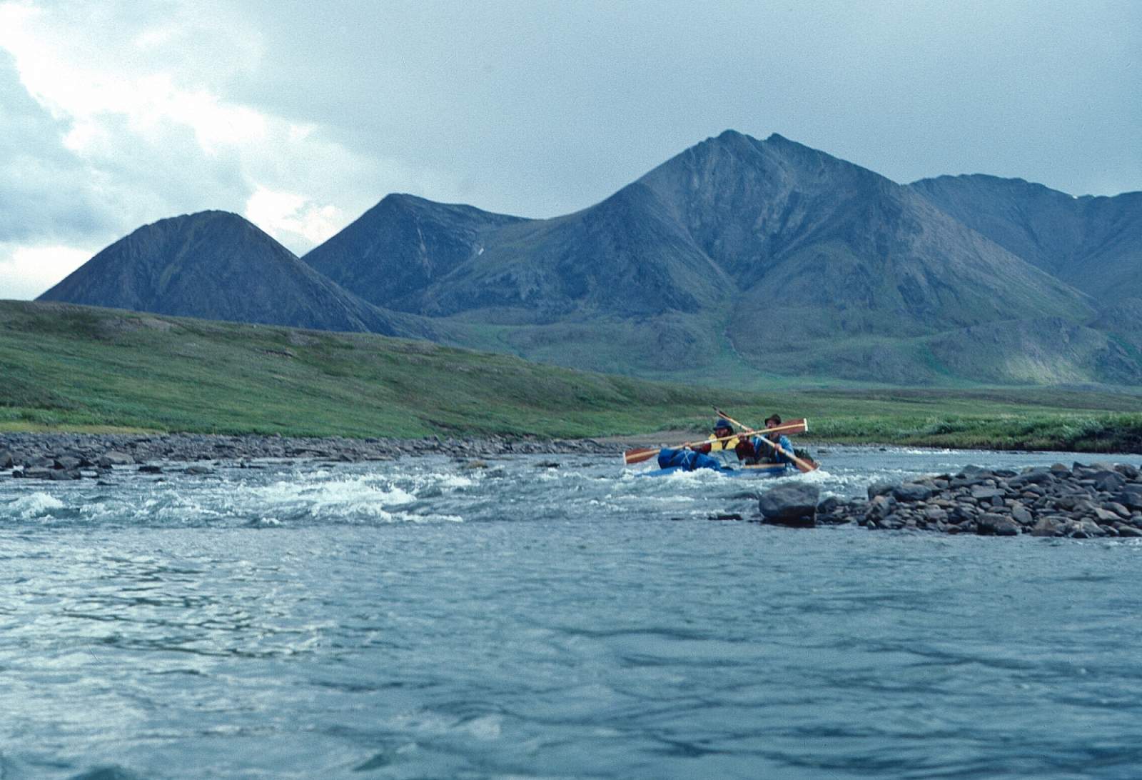
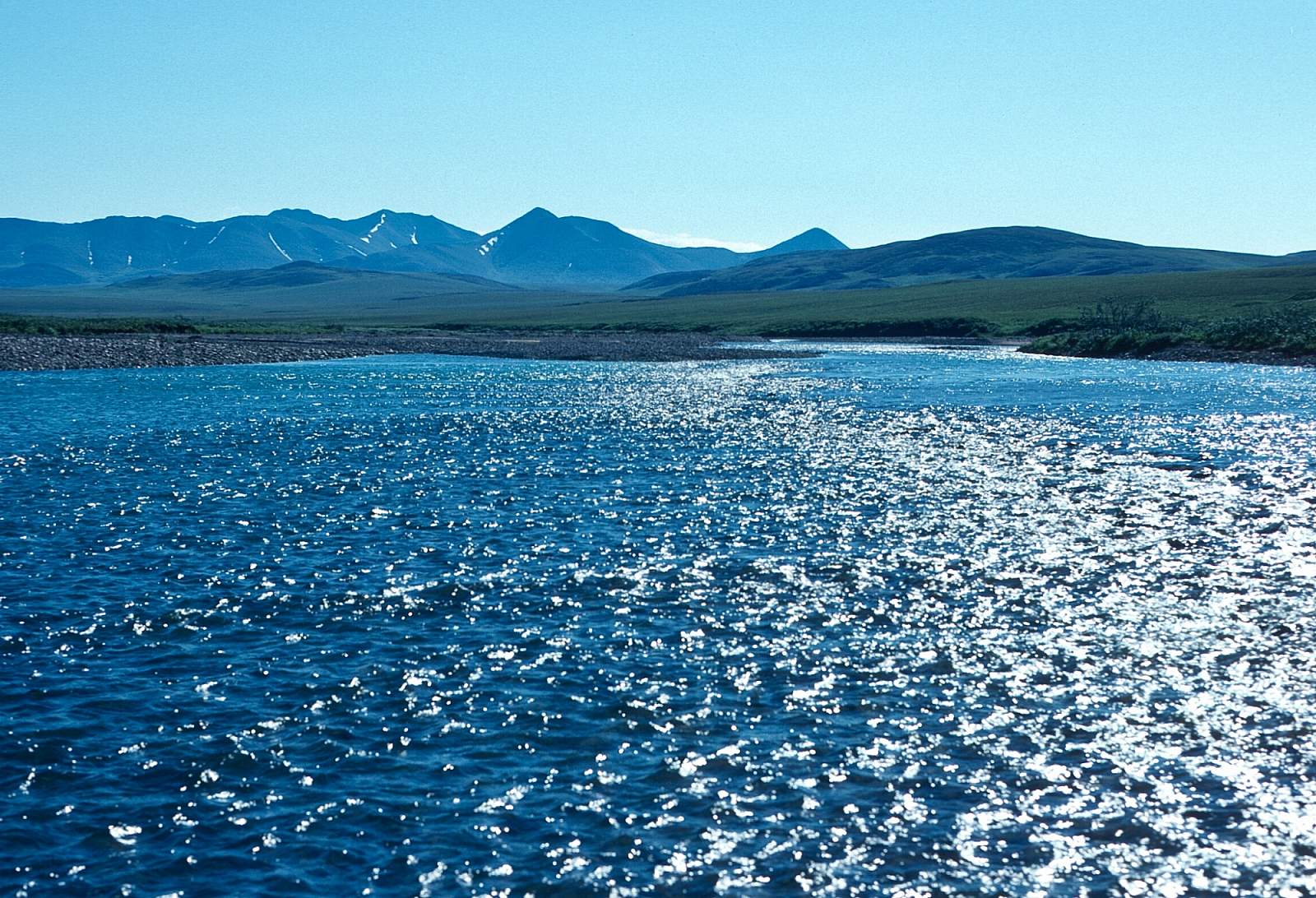
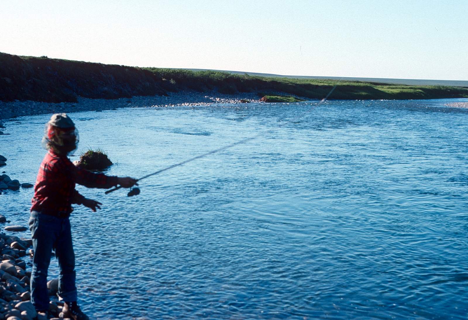
The Nigu and Etivluk Rivers, beginning in Gates of the Arctic National Park, are seldom-visited river valleys in the high arctic at above 68 degrees north latitude and flow north out of the Brooks Range to join the Colville River. Beginning in the mountains, the rivers flow north from the Brooks Range, out of the eastern edge of the DeLong Mountains into the Arctic foothills through rolling hills and tundra. Both rivers carry small volumes of water at most times, and therefore are more suited to inflatable kayaks or folding canoes rather than rafts. However with a little effort, a small raft can be drug through the shallows and paddled into the headwinds for the first few days of low water. The river is mostly a gentle Class I and II with numerous boulder gardens to weave through and shallow riffles to drag over. If you start on the Nigu there is a 70- or 100-mile run to the confluence with the Colville River. If you start on the Etivluk you will have 65-mile run to the Colville confluence. A trip might be 6 to 10 days long. There are several archeological sites in this river valley. With low riverbanks, the views are great and there is fishing for Arctic Grayling and Lake Trout all along the way.
Put In
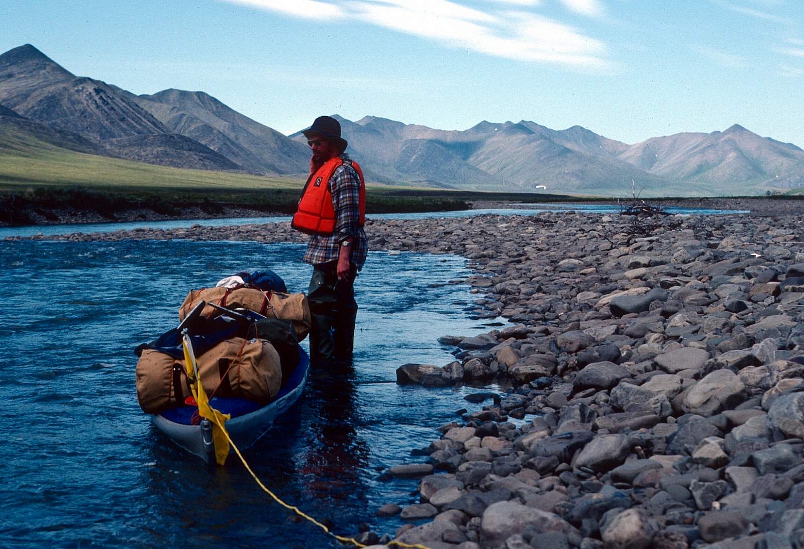
For the put in you will need to get to Fairbanks, Alaska where you can take a commercial flight to Bettles, or you can drive the Dalton Highway to Coldfoot, Alaska. From either place you can arrange for a chartered flight in a floatplane that will land you on one of many lakes in the areas. At the Etivluk headwaters is Nigtun Lake near Howard Pass and on the Nigu are several lakes that are close to the river. One about 3 miles above Otirgon Creek gives a 45 mile run to the Etivluk and is best for low water. There is another lake 70 miles up the Nigu where you could start, if there is enough water to float the upper river. Water levels could determine where your pilot says to go. The flight in from Bettles is 1.5 hours.
Take Out
Take out can be from the gravel bars of the lower Etivluk near the Colville confluence, or by floatplane from the Colville River where the river is suitable. One could also float another 70 miles of the Colville River to the interesting Killik Bend region where a gravel strip is found at the confluence with the Killik River at N 69 degrees and 01 minutes by W 153 degrees and 55.4 minutes making for a 140 mile trip. This is perhaps one of the most interesting sections of the Colville. To float further, to the oil town of Umiat would take an additional week.
The Trip
Nigu Headwaters to Etivluk Confluence: 45 or 70 miles
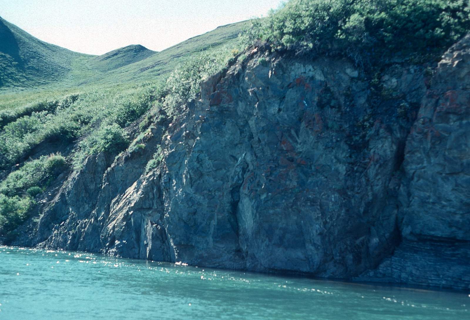
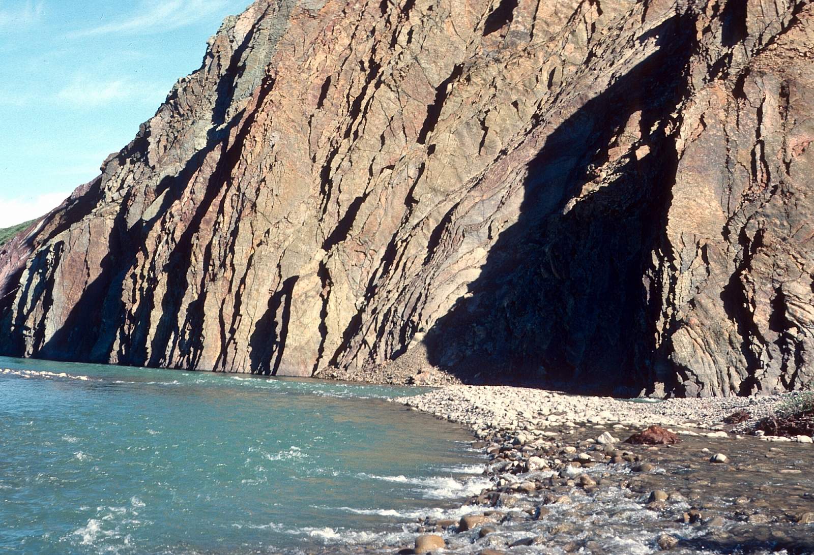
There are the two main options for starting your trip here. If there seems to be enough water to float rather than drag the upper river, there is a lake in the upper valley where a floatplane can drop you. There is a short portage of gear to the river. The Nigu is quite a bit rockier than the Etivluk as a result of the past glacier moraines that lie across the river in places. It is basically a Class II river with lots of these smooth granite boulder gardens to line past or run through. After 28 miles you come to the confluence with Otirgon Creek. The valley is 2 to 4 miles wide and the river 2 inches to 5 feet deep with a 2 mph current. The hiking opportunities are outstanding throughout this region with low ridges connecting to low hills that give great views. The further down river you go the more rocky Class II sections occur with the river valley narrowing to 2 miles. At a point 4 miles above the Etivluk confluence is the feature known as the Nigu Bluffs. Leading to this are several Class II rapids with standing waves up to a foot tall. Hiking along the Nigu Bluff is worthwhile. Four miles below it is the confluence with the Etivluk and the end of the Nigu.
Etivluk Headwaters to Nigu Confluence: 45 miles
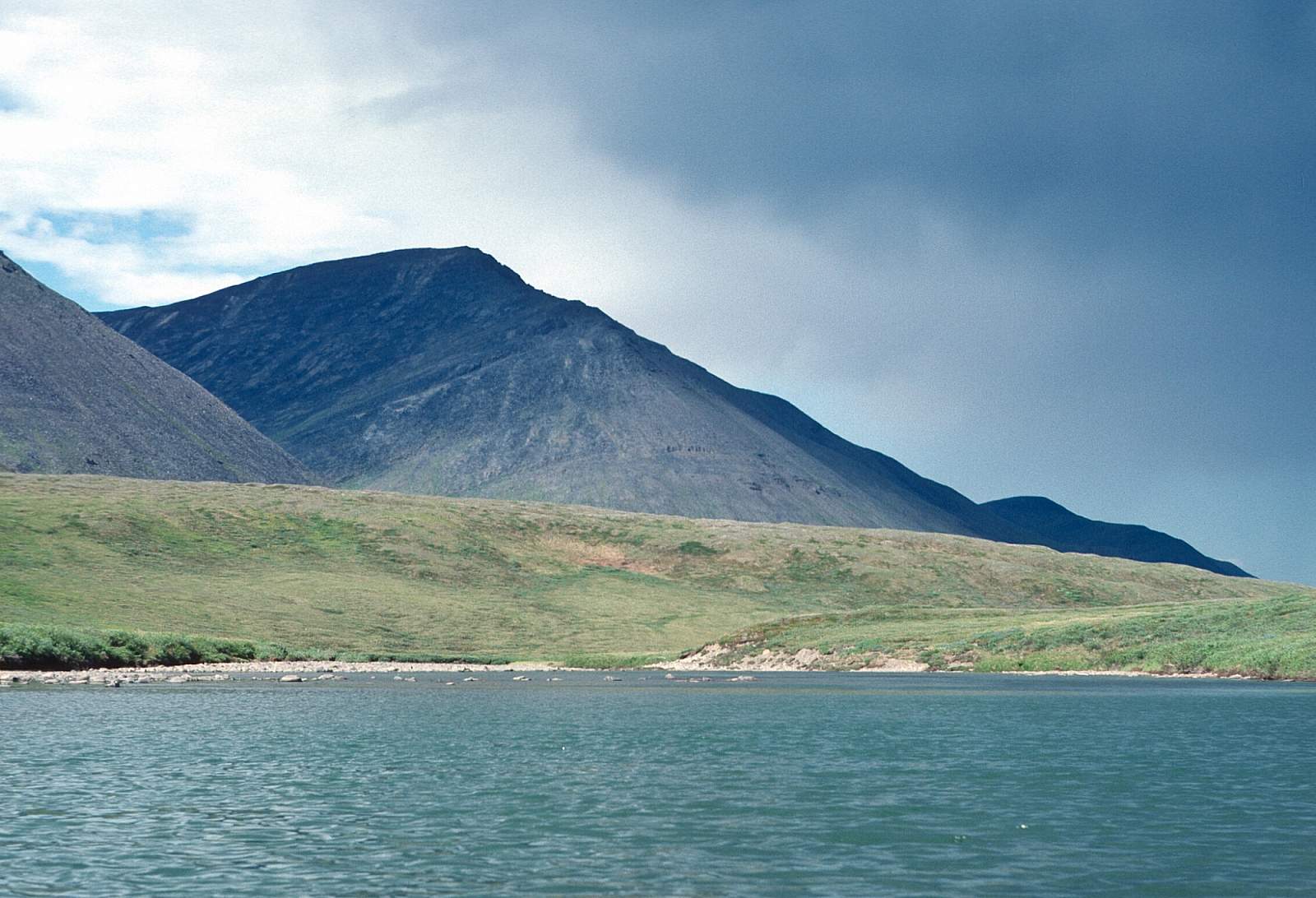
At the head of the valley in the region of Howard Pass, is Nigtun Lake and it has been used as a starting point by groups. This is a very scenic location with Isikut Mountain as a backdrop. It is a more gentle stretch than the Nigu but still has several Class II boulder gardens to get through and during periods of low water presents several spots where the water is too shallow for floating but not difficult to line or drag your boats. There is a 2 to 3 mph current but headwinds are common here making forward progress difficult at times.
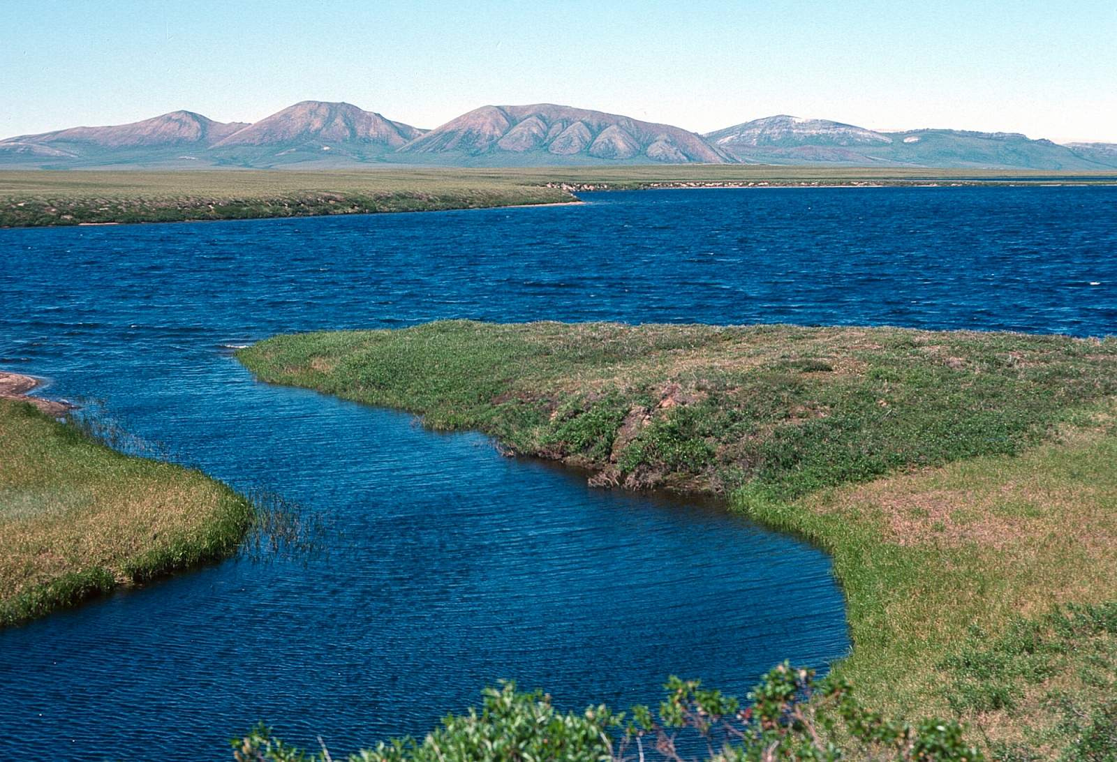
Etivluk Confluence to Colville River: 25 miles
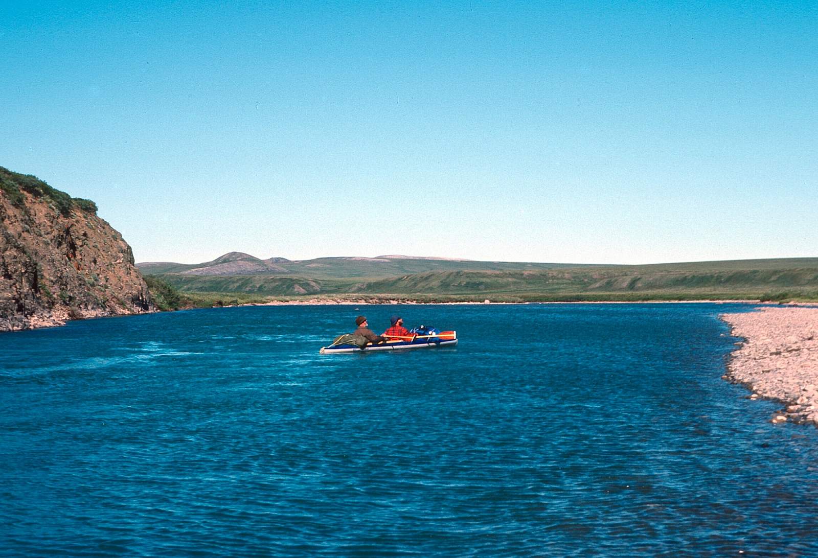
From this point the river changes in character a bit with higher riverbanks and fewer rocky rapids. It is mostly Class I from here down to the confluence with the Colville River. The single channel becomes braided at times and there are only 3 or 4 Class II rapids.
Colville River to Killik River Confluence: 70 miles
This is a very interesting stretch of the Colville where the Etivluk river joins the river, with the prominent Lookout Ridge to the north forming the left side of the Colville River. After 20 miles you will come to where the Awuna River joins from the north at a point just after where Lookout Ridge comes down to the river. Here the river is a series of long, deep pools separated by shallow riffles. The Killik River confluence comes after the landscape feature known as the Killik Bend. Here there are numerous nesting raptors and evidence of native people of the past. The Killik joins from river right at GPS N 69 degrees and 01 minutes by W 153 degrees and 55.4 minutes.
Other Advice
- You will definitely want to check with your flight service as to what water levels you will see. This will determine the best place to start from.
- This is bear and mosquito country.
GPS Coordinates
Killik River Confluence: N 69 degrees and 01 minutes by W 153 degrees and 55.4 minutes
Outfitters
Coyote Air Service
PO Box 9053 Coldfoot, AK 99701
(800) 252-0603 or (907) 678-5995
email [email protected]
Bettles Air Service
PO Box 27 Bettles, AK 99726
(907) 692-5655
email [email protected]
Brooks Range Aviation
PO Box 26010 Bettles Field Bettles, AK 99726
(907) 692-5444 (907) 692-2185 (fax)
email [email protected]
Alaska Flyers Air Charter Service
P.O. Box 67 Kaktovik, AK 99747
(907) 640-6324 (907) 640-6218 fax
Nigu-Etivluk River GPS Coordinates
Etivluk-Colville Confluence
Take out can be in a wheelplane from the gravel bars of the lower Etivluk near the Colville confluence, or by floatplane from the Colville River where the river is suitable. Take out option for Nigu-Etivluk Rivers.
69.01354600, -153.89831600
Nigtun Lakes
For the put in you will need to get to Fairbanks, Alaska where you can take a commercial flight to Bettles, or you can drive the Dalton Highway to Coldfoot, Alaska. From either place you can arrange for a chartered flight in a floatplane. At the Etivluk headwaters is Nigtun Lake near Howard Pass. Put in option for Nigu-Etivluk Rivers.
68.22342100, -156.88169000
USGS Maps
Survey Pass D-6
Killik River A-5, D-5
Howard Pass A-1, A-2, B-1, B-2, C-1, D-1
Distance
65-140 miles
Days
6-10
Difficulty
Easy
Class
I, II
Craft
Canoe
Kayak
Cost
$$$

Photos
Show Map
Nigu-Etivluk River Points

Take out can be in a wheelplane from the gravel bars of the lower Etivluk near the Colville confluence, or by floatplane from the Colville River where the river is suitable.
For the put in you will need to get to Fairbanks, Alaska where you can take a commercial flight to Bettles, or you can drive the Dalton Highway to Coldfoot, Alaska. From either place you can arrange for a chartered flight in a floatplane. At the Etivluk headwaters is Nigtun Lake near Howard Pass.