Difficulty: Moderate
Distance: 3 miles
Elevation Gain: Less than 500ft
Type: Out-and-Back
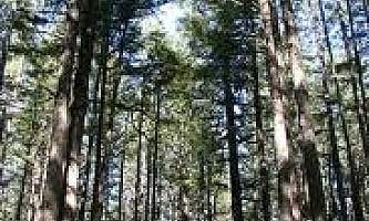
This ski trail weaves through muskeg and forest and gradually gains elevation until it ends. The trail leads to a high muskeg that overlooks the Copper River Delta, Heney Range and the Gulf of Alaska. This trail is very wet during all seasons excluding winter and is not a hiking trail.
Features: Skiing


