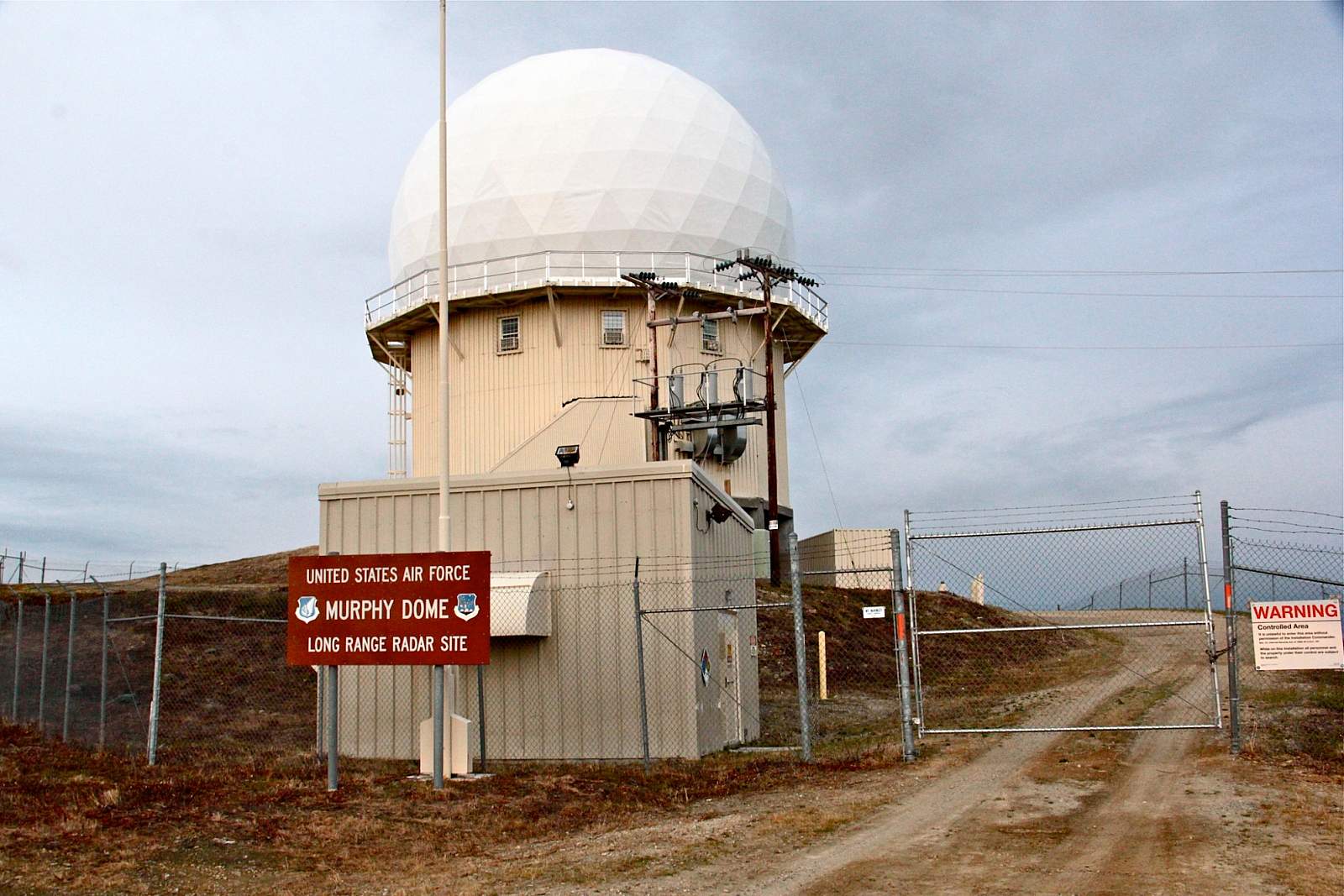
Murphy Dome was once home to Murphy Dome Air Force Station with a dozen buildings and 250 personnel stationed here at any given time. Now, the vast majority of the site has been cleared though one remaining facility still stands in working order as a Long Range Radar Station. The purpose is to detect military air threats from afar so that they might be intercepted.
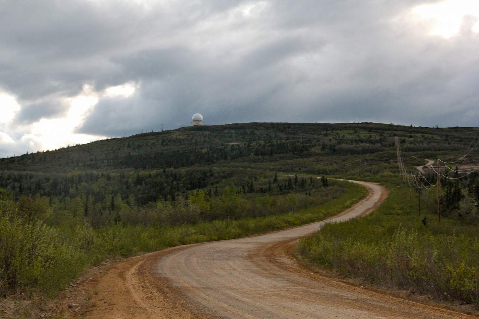
Murphy Dome is now a recreational site most popular with ATV riders and hikers. It lies about twenty miles outside of the Fairbanks, most of which are traveled on Murphy Dome Road off of Sheep Creek Road which can be accessed from the UAF campus. Murphy Dome Road turns to packed dirt and gravel just past Cache Creek Trail. The average car can still make the drive, but obey the speed limit and watch for potholes, road debris, and frost heaves on the way.
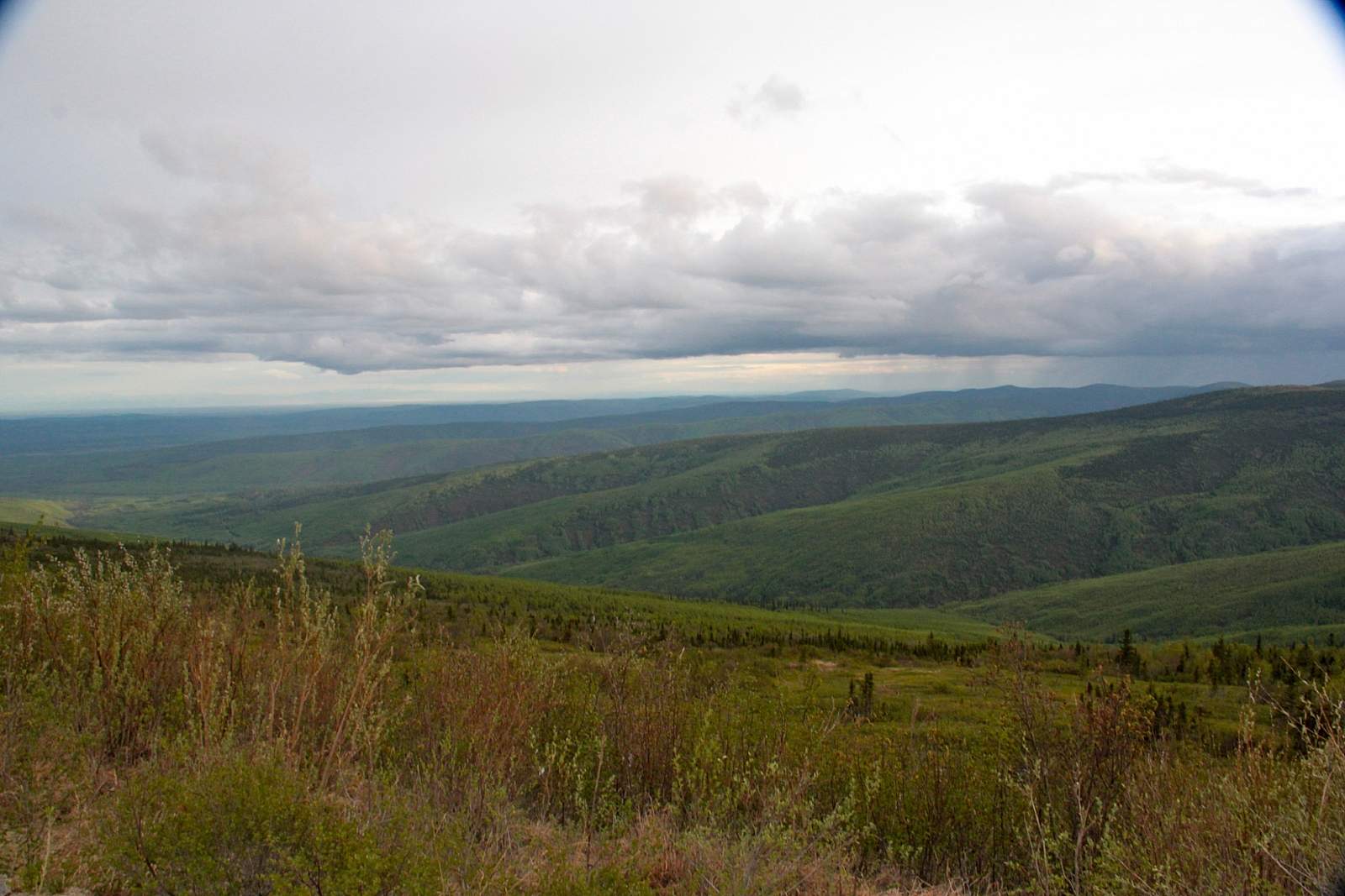
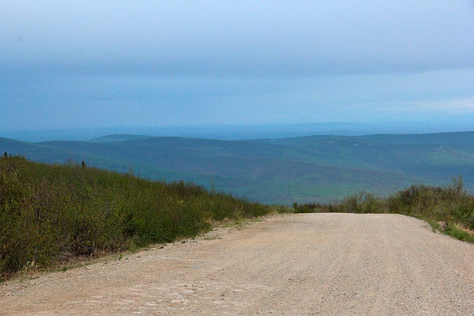
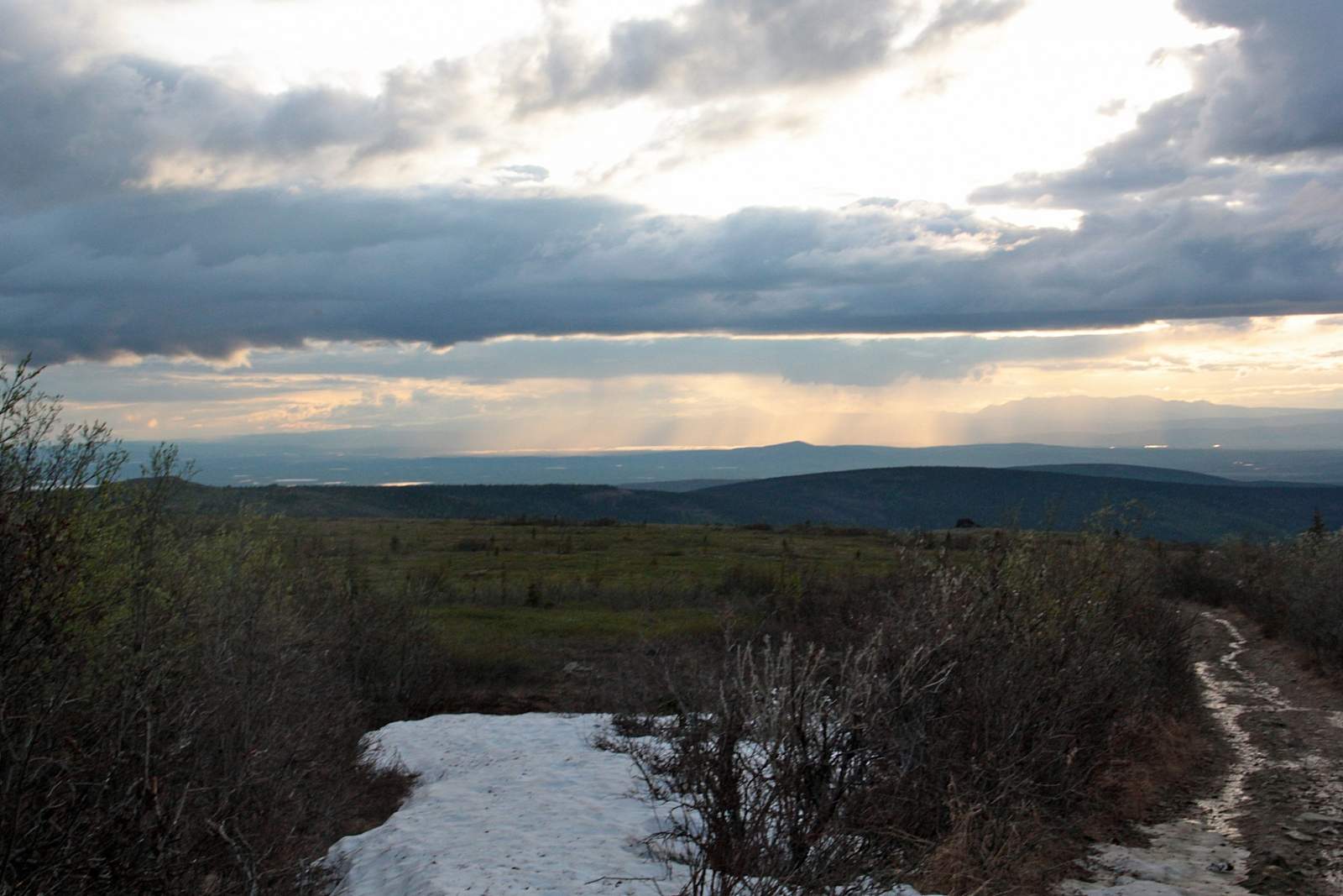
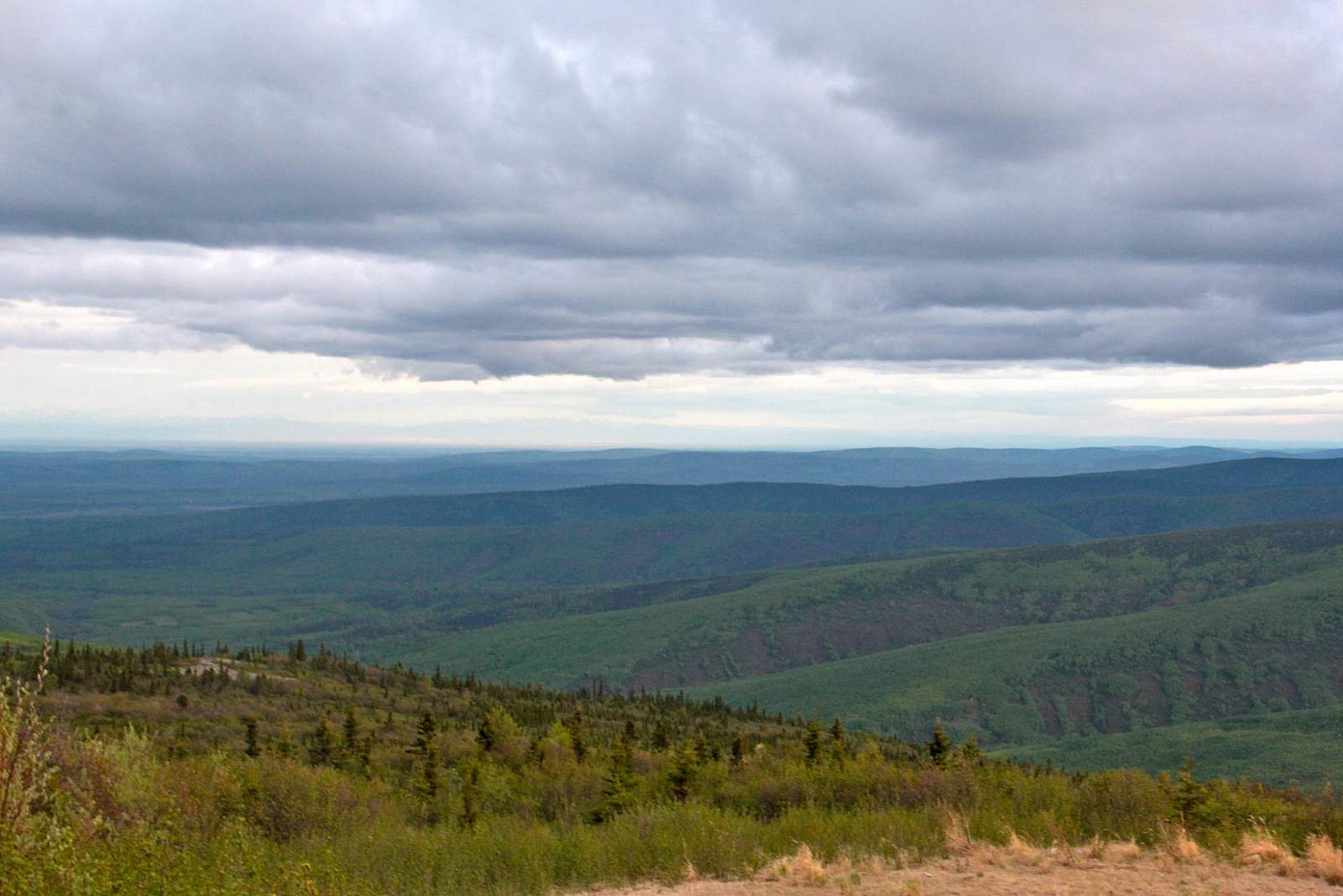
You’ll enjoy scenic vistas as you wind through lowland forest and climb up toward the Dome, with views opening up over the valley. The road curves around the outer rim of the dome toward the end with pullouts for photos or a brief stop. It’s a good idea to use your flashers, as the dust kicked up from the road can make it hard to see a stopped vehicle. At the top, park in the dirt and gravel lot in the center of the Dome. On one end stands a communications tower and on the other, the last operational remnant from the Air Force Base. ATV trails are scattered throughout, and also work for a quick day hike if you feel like stretching your legs.
This Dome is a popular place to watch sunsets in the summer and fall, or to observe the northern lights in winter. Mosquitos come in droves here during the summer, so bring your bug spray.