Why Take This Hike
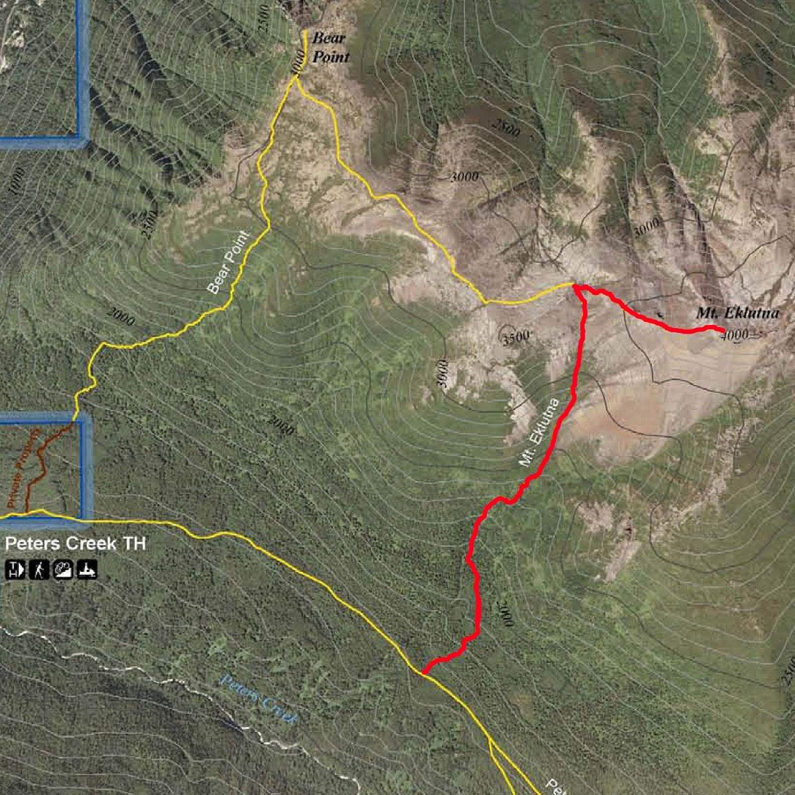
While many people find satisfaction in climbing to the top of Bear Point, others may wonder about reaching the summit of Mount Eklutna, the prominent peak rising just to the east. It involves two more miles of hiking, up 1,100 feet, including a short, sharp scramble up a gravel trail. You can return to the Peters Creek Trail trailhead via an alternate route, which makes for a fine loop hike.
The Details
One way to reach Mt. Eklutna is by climbing Bear Point. If you do, you’ll have already completed over one quarter of the mileage and two-thirds of the climbing of an 8-mile loop. For a shorter hike, you could bypass Bear Point, though you’d miss out on the rewarding experience of hiking a very scenic loop. (And also having bragging rights for bagging two summits in a day.)
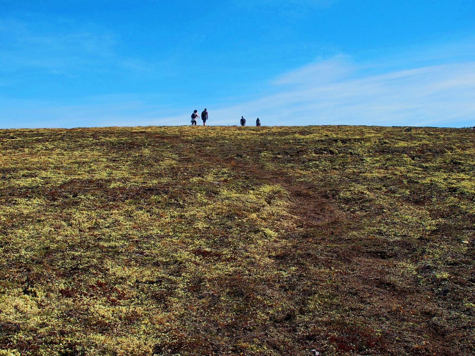
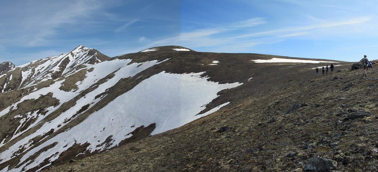
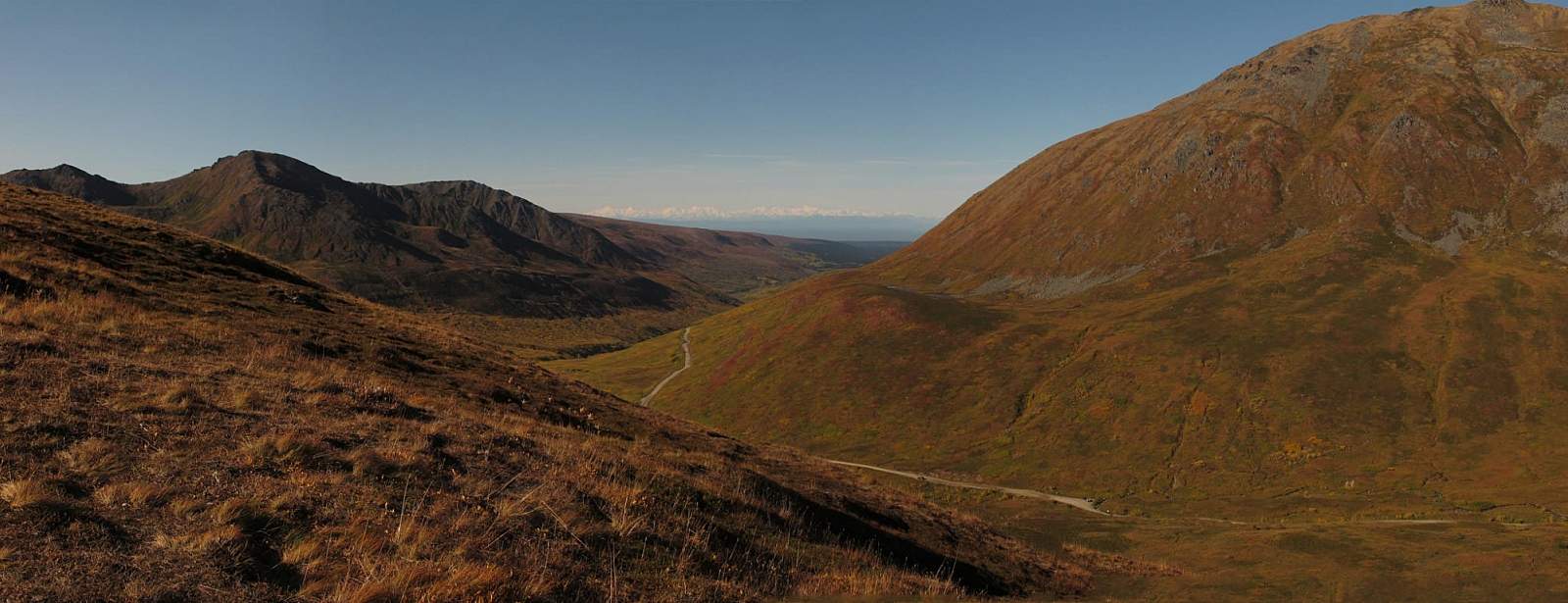
The experience begins by hiking across the tundra and up the wide plateau. At times the going may be a little slow, as you occasionally have to push through low brush and sometimes labor to step across the soft tundra. But as you head toward the plateau, the ground turns firmer and soon the broad plateau narrows to a ridge. Then a trail seems to suddenly appear beneath your feet to lead you up the crest and over the top of the first hump in the ridge.
In the saddle just beyond this hump, you’ll see a sheep trail traversing the upper edge of the deep bowl to the left (unless it’s covered by snow). At the far end of that trail you’ll come across a geological wonder: a three-way pass that forms a hollow. After climbing to the edge of this pass from any direction, you then drop some 30 feet into the pass proper—a strange phenomenon, indeed.
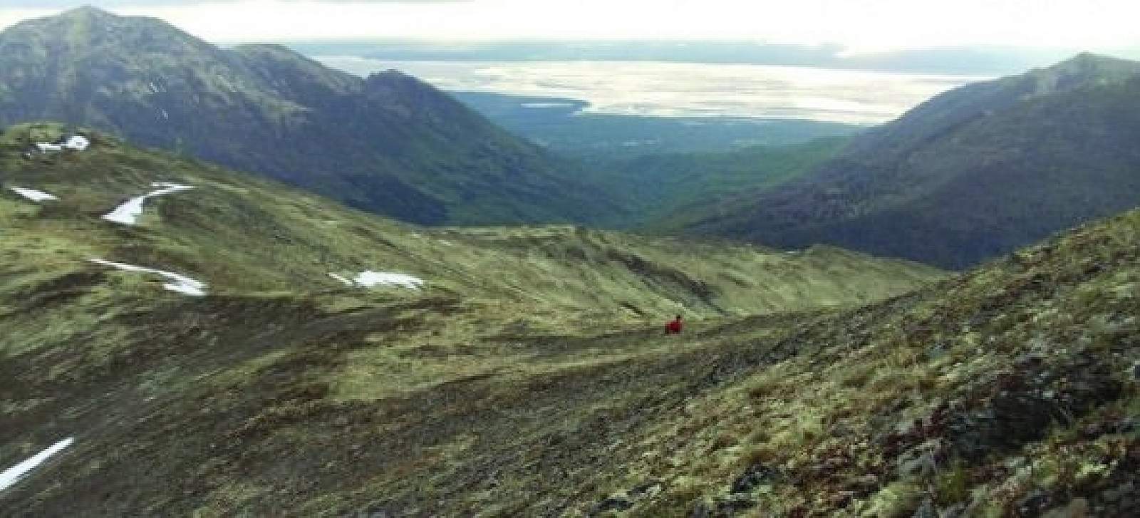
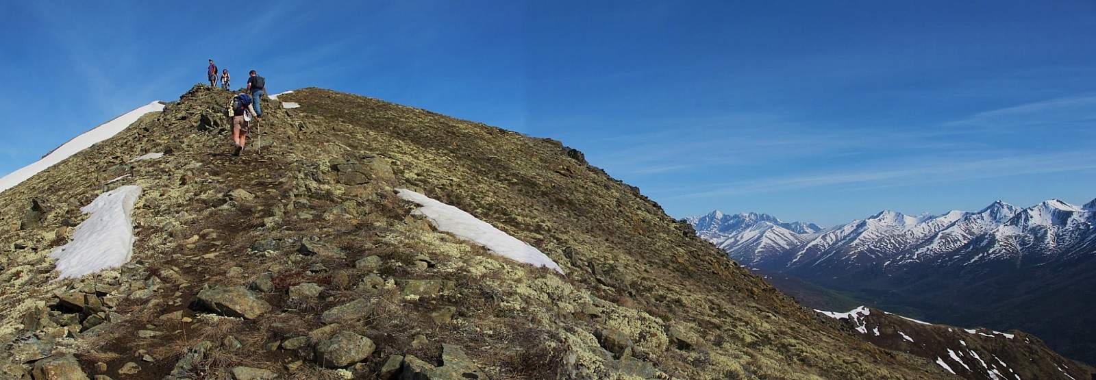
Once in this depressed pass, you’ll reach the base of Mount Eklutna proper. Now the real climbing begins as you start up the steep, gravel trail leading to the rocky outcrop 300 feet above. Don’t let the ground shifting beneath your feet unnerve you. And the effort you put in does pay off; just after circling around the rock above, the trail carries you up onto the firm ridge top.
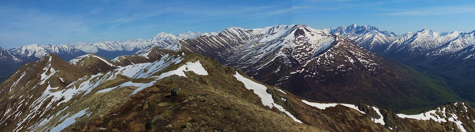
As you catch your breath from the steep climb, look around and up, following the trail to the ridge crest, where it rounds over the next hump. Then begin hiking again, reveling in the airy path toward the 4,271-foot summit.
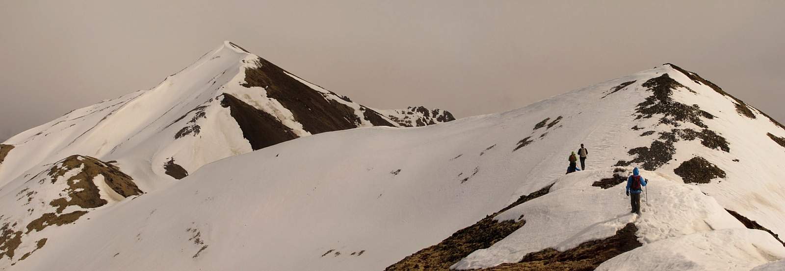
Here, with unhindered views that stretch for miles, you may want to sate your senses far longer and more diligently than you did on Bear Point. But you must come down eventually, and the way to begin your descent entails first returning to the hollow pass at the base of the mountain.
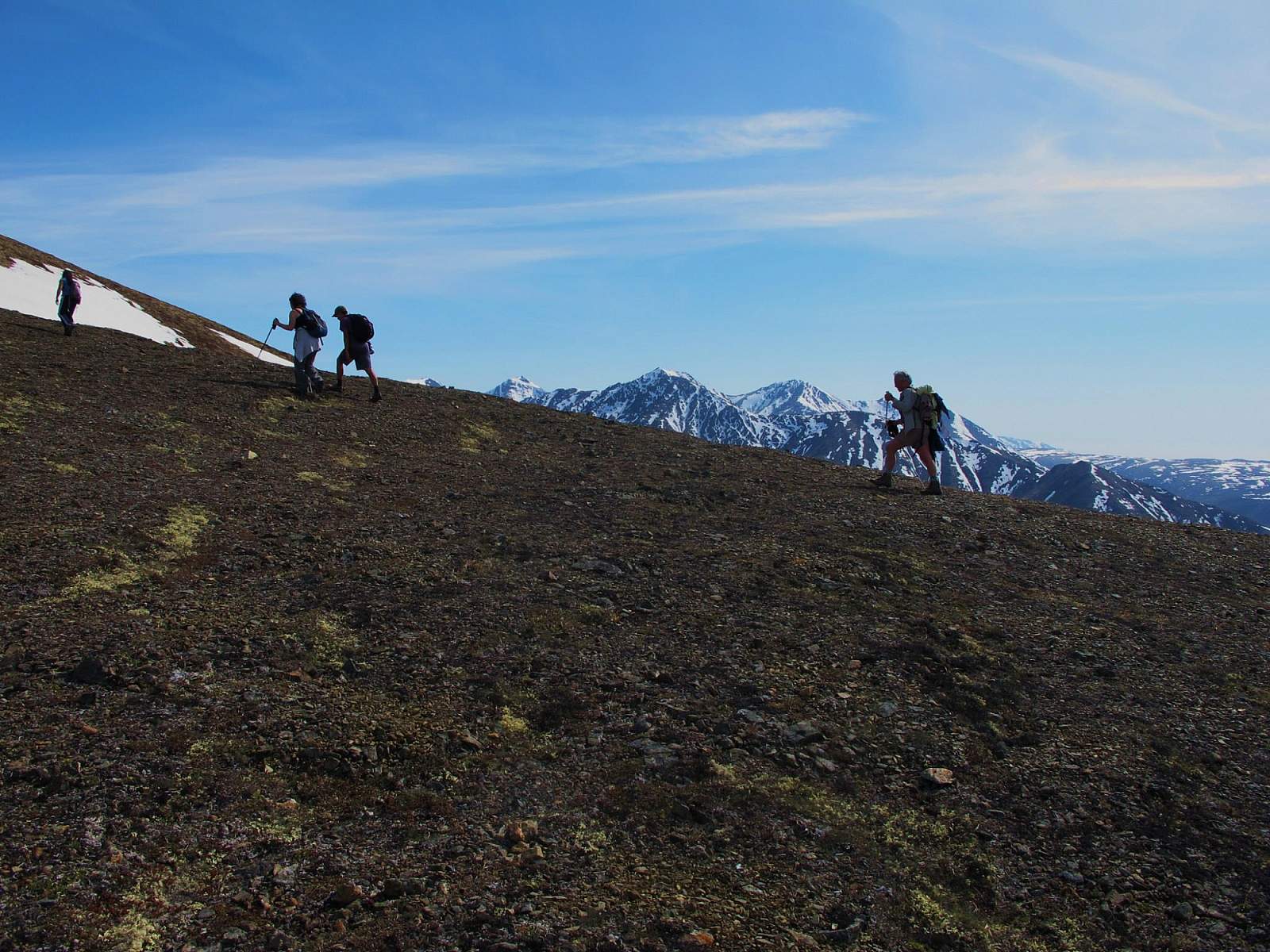
There you’ll see a trail leading out of the pass to the left. This trail winds down through a wide hollow and into the woods—and eventually down to the old road of Peters Creek Trail. Then it only remains to walk the last few miles back out to the car, chattering about the pictures you took, the wildlife you saw, and views that made you shake your head in wonder.
“Wait until I show Aunt Matilda these pictures!” you say. But no matter how marvelous the pictures, you know they can’t fully convey the feeling of the tundra squishing underfoot, the wind pushing against your chest, or the screech of the lone hawk circling high over the ridge as you labored up the last few steps to the meeting place of summit and sky.
Author: Shawn Lyons