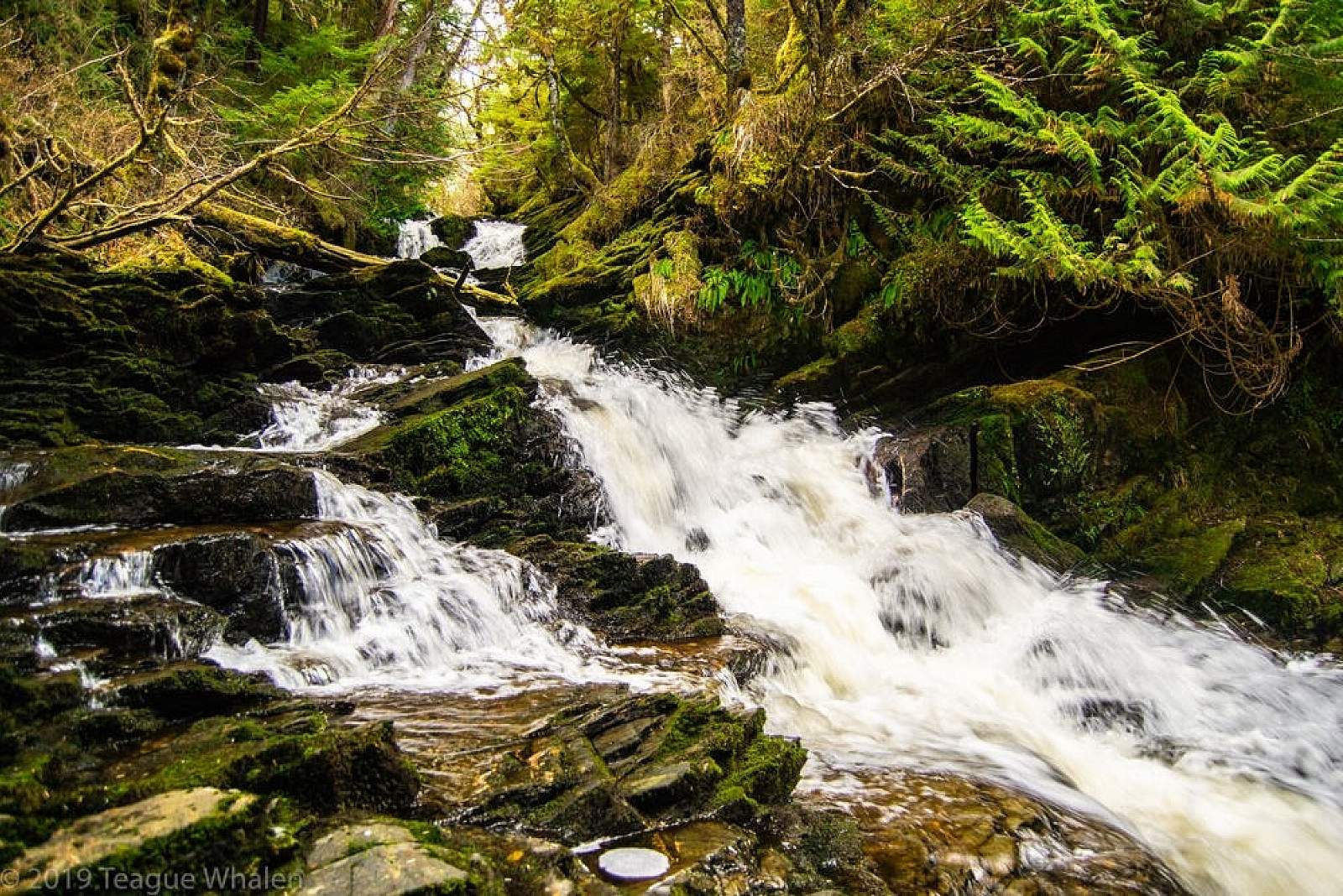
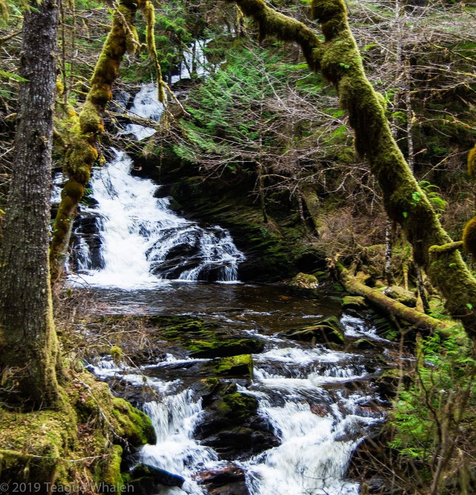
Lunch Falls
A pretty waterfall in the rain forest, surrounded by old growth Sitka spruce, hemlock and red cedar with a lush understory chock full of berries. It’s as far as you can drive north of Ketchikan, completely out of town on the edge of virtual wilderness. Near a very scenic beach and a 3.5-mile trail up the mountainside.
Best Viewing Spot
Beginning of Lunch Falls Trail
Follow the trail out of the campground to the bridge and the intersection with the Lunch Creek hiking trail, then continue on a half-mile loop. Easy walking with boardwalks.
Getting There

Coordinates
Latitude: 55.510183Longitude: -131.724637
Ketchikan the major community at the southern end of Alaska’s southeast panhandle, located on Revillagigedo Island, about 775 miles southeast of Anchorage and 235 miles southeast of Juneau. Follow the North Tongass Highway 18 miles north to Settlers Cove State Recreation Site. Turn left into the site and go to a small parking area at the Lunch Creek trailhead located within the campground loop.
Photos