Why Take This Hike
This trail, located 90 minutes north of Anchorage just across the Matanuska River from downtown Palmer, makes no pretense about its purpose. Almost immediately after leaving the parking area, it begins to climb straight up the steep west face of Lazy Mountain. For some 2,000 feet, there’s nary a switchback or respite as the trail winds up to the summit ridge. It’s a truly breathless workout.
The Details
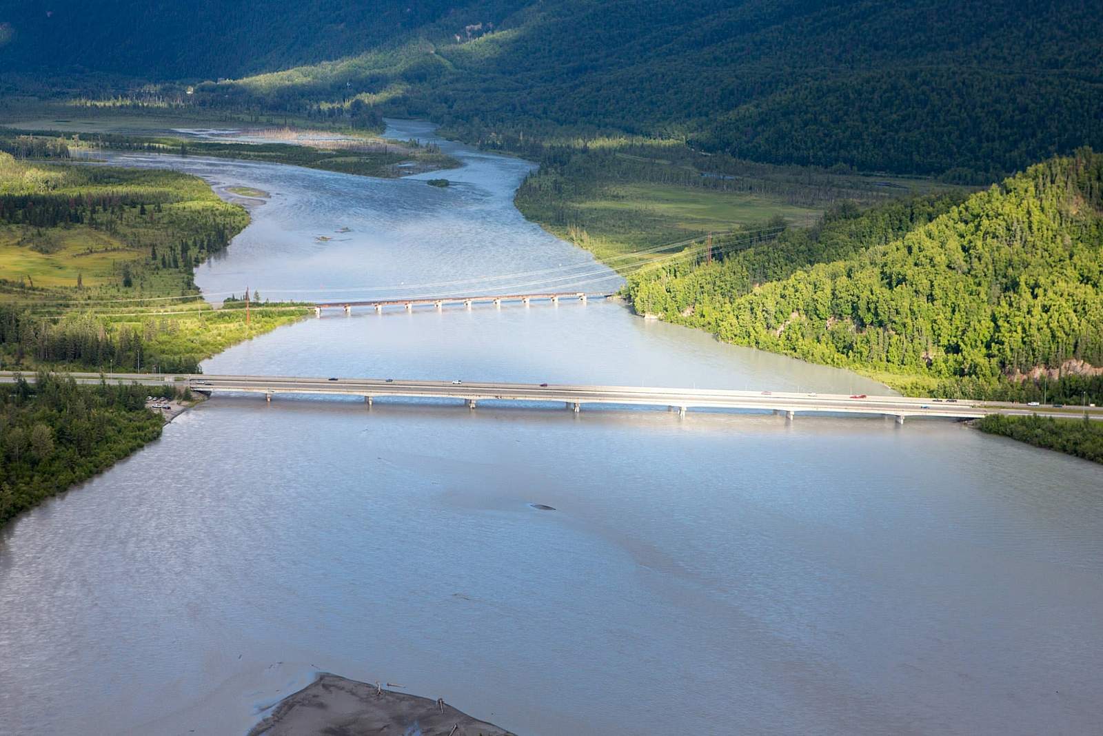
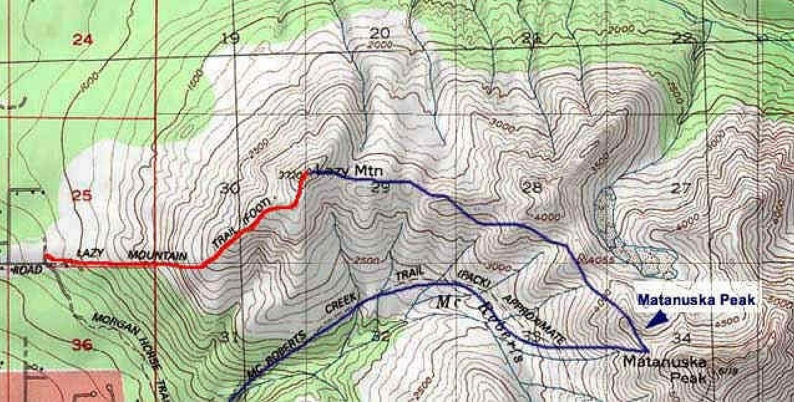
Out of Palmer, follow Clark-Wolverine Road off the Old Glenn Highway, and then drive up Huntley Road to Lazy Mountain Recreation Area. You’ll have gained a considerable amount of elevation just getting here, but you still have plenty to climb to reach the top of Lazy Mountain.
You have the choice of two trails. Lazy Moose Trail climbs the mountain leisurely up a series of switchbacks. Lazy Mountain Trail, on the other hand, wastes no time dilly-dallying up switchbacks or climbing gentler slopes; it’s an ideal trail for a hard and efficient workout.
After crossing a short bridge, Lazy Mountain Trail reaches the first of two junctions with Lazy Moose Trail. You can, at this point, still take the more leisurely route up the mountain. But if you’ve come this far for a labor-intensive workout, turn left onto Lazy Mountain Trail, which then turns up the mountain’s flank.
From here, the trail remains very easy to follow but very difficult to climb. As you grunt your way upward, think about the runners that race this trail every year (though most probably do far more lunging than running).
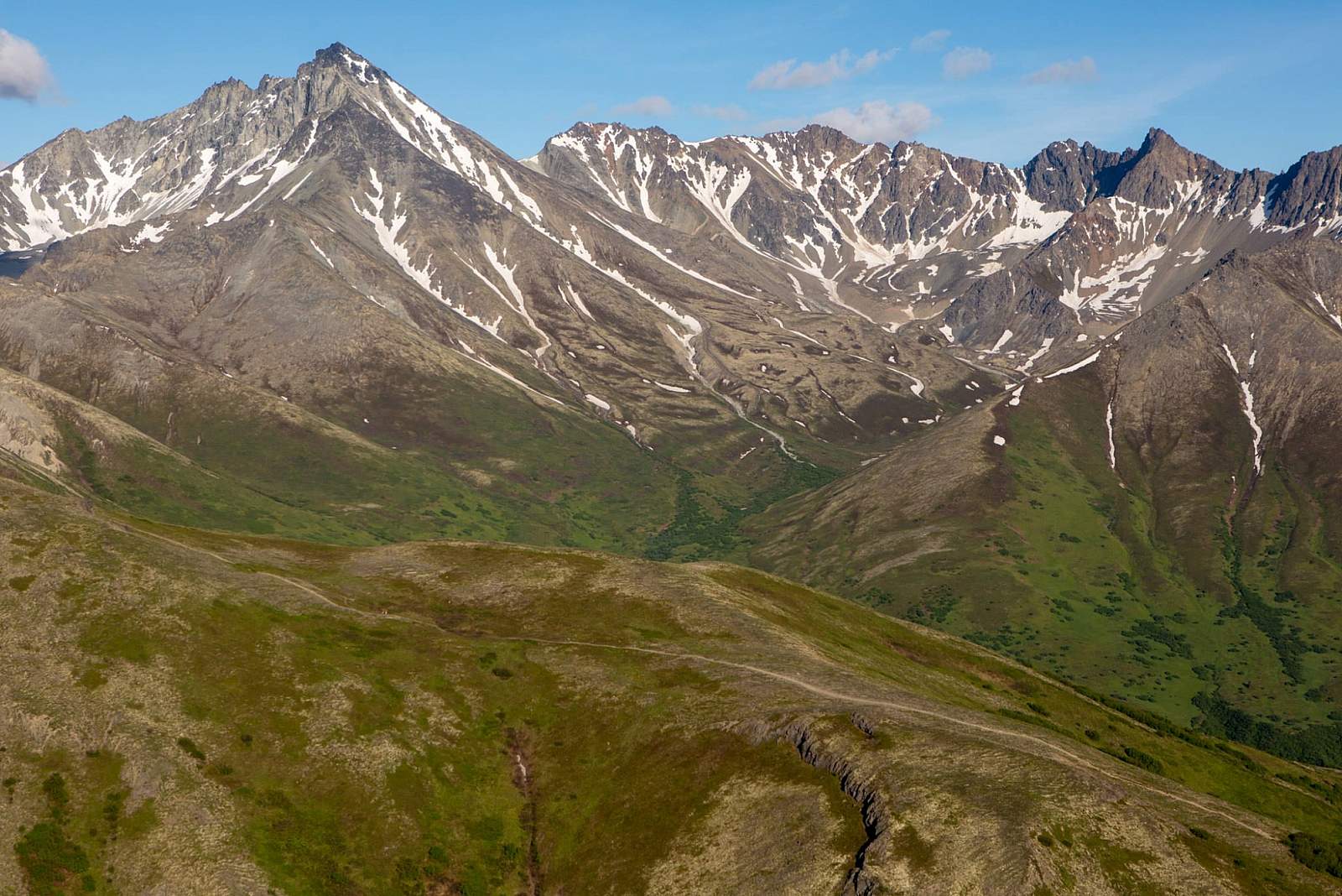
As you climb, you’ll pass through cottonwood, birch, and spruce trees. Once you hit the ring of willow bordering the tree line’s upper edge, you’ll reach the upper junction with Lazy Moose Trail.
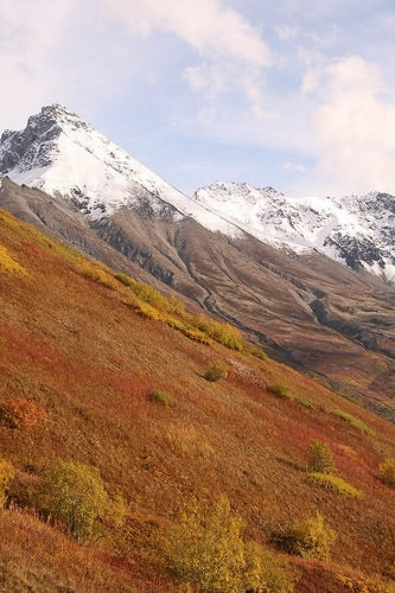
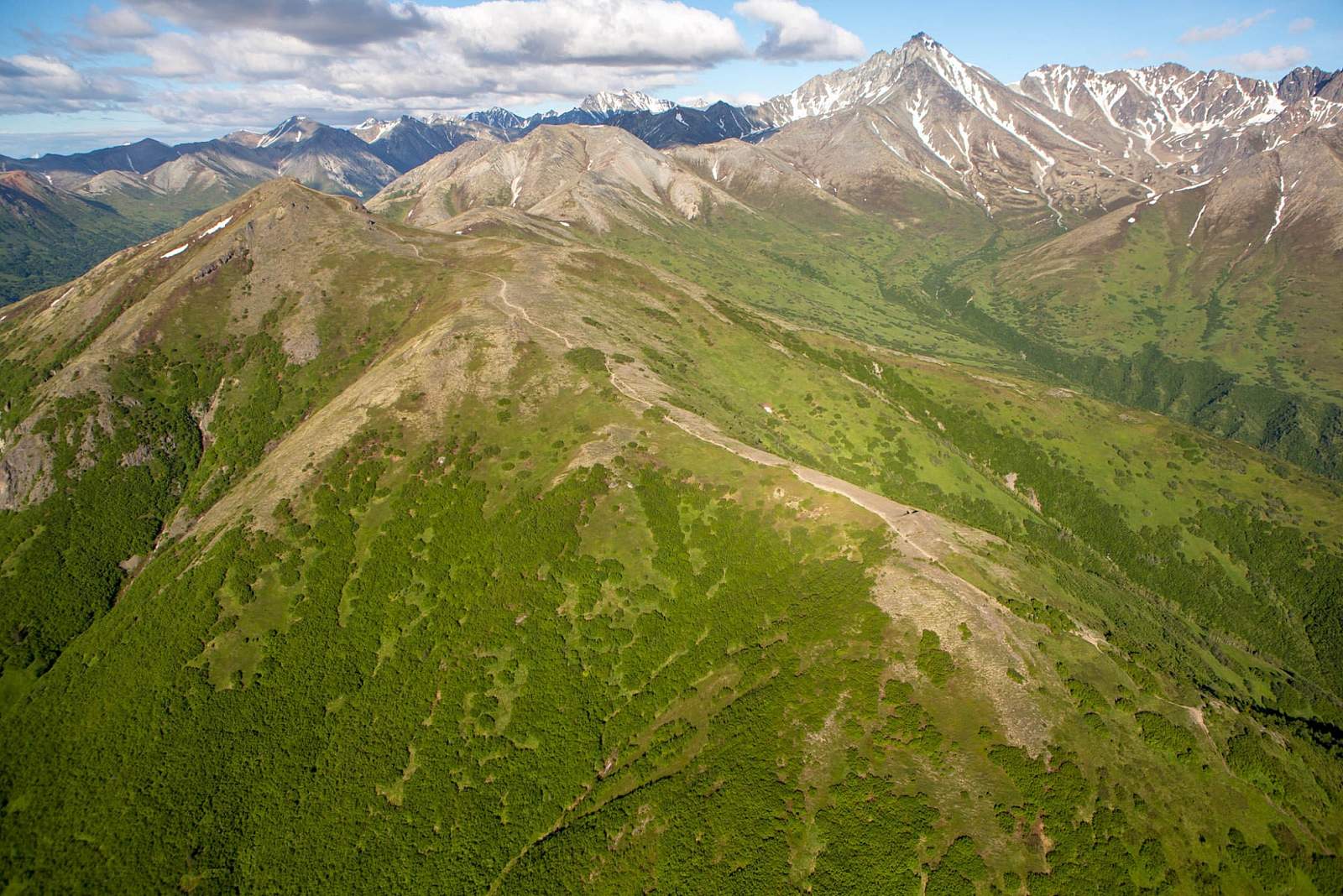
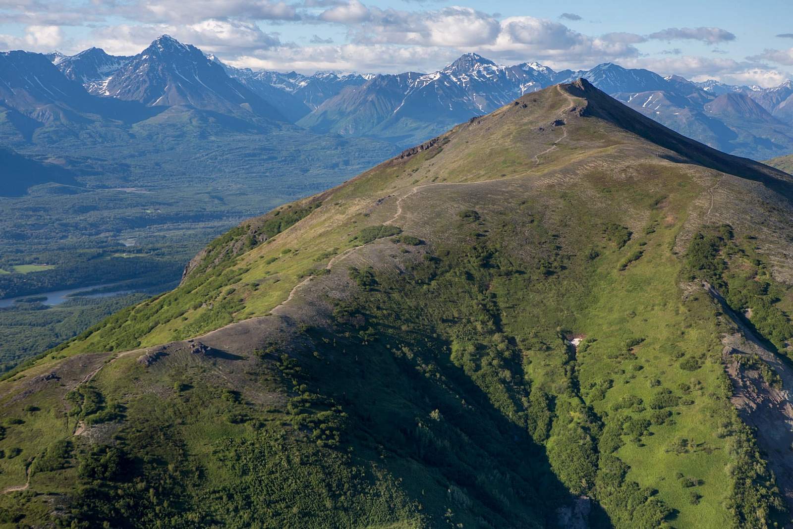
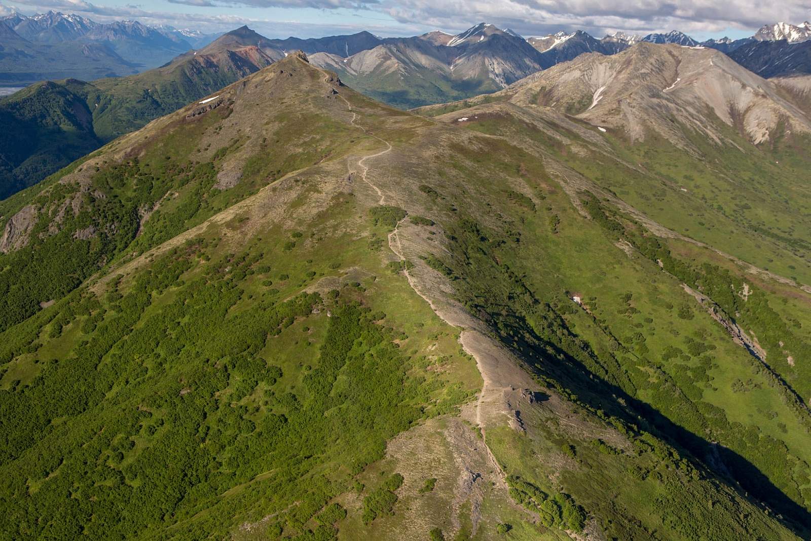
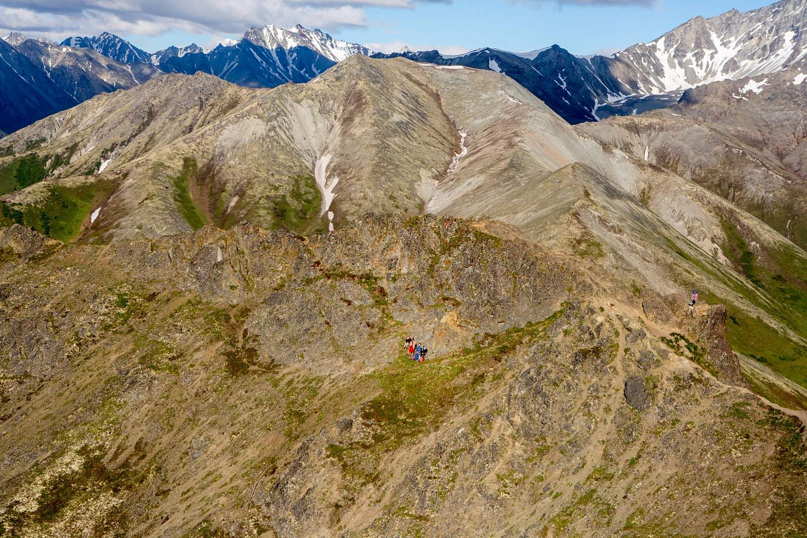
After one more steep section, the trail reaches tree line and begins to climb far less dramatically, winding over the three humps that make up the summit ridge. After one final, short climb up the far side of the last bump, you’ll stand on the narrow outcrop that marks the summit of Lazy Mountain (3,762 feet).
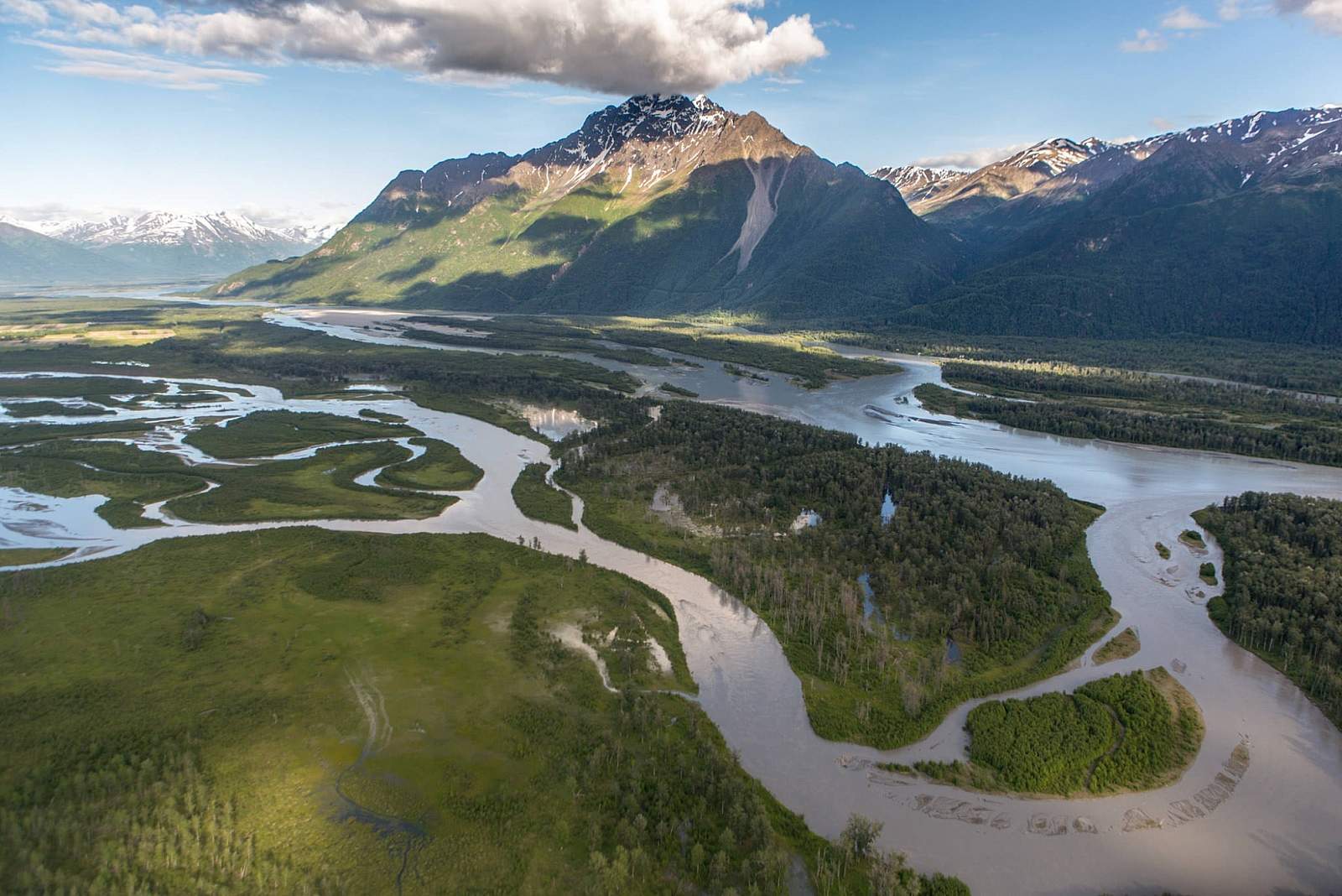
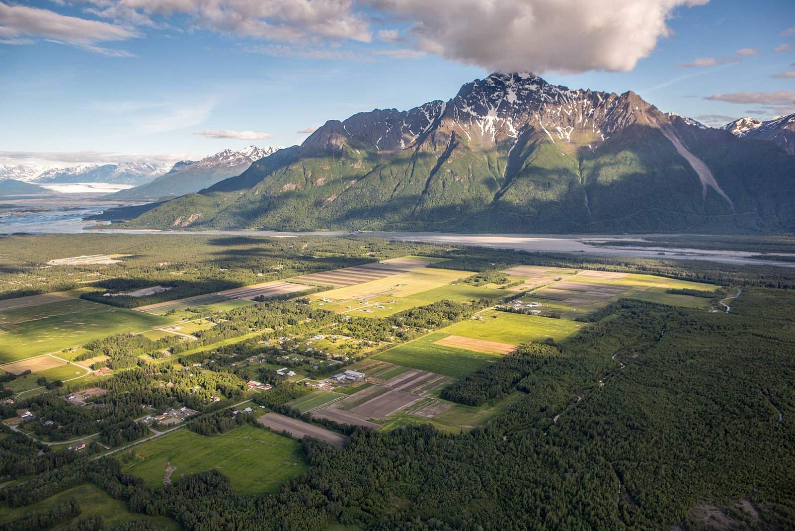
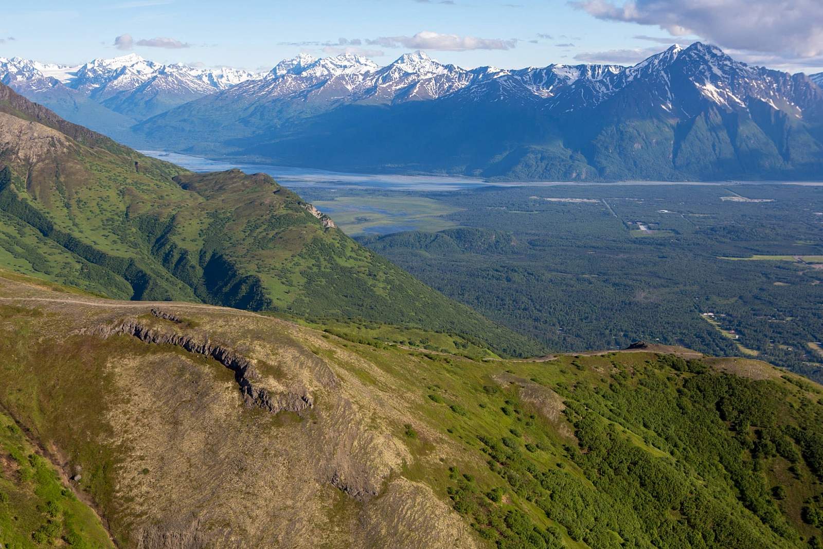
You’ll find few better places to rest. Gaze out at the entire Knik River estuary that’s stretched below you and framed by the Talkeetna Mountains to the north and the Chugach Mountains to the south.
But the weather conditions may not let you relax for long. If you haven’t at least tied a windbreaker around your waist for the climb, you might regret it upon reaching the top: The winds can blow hard and cold above 3,000 feet in Alaska. Even in the middle of summer, sleet and snow can suddenly materialize at those heights. This proves especially true on Lazy Mountain, which rises alone and is exposed above the confluence of the Matanuska and Knik rivers.
(For more, see Walk-About Guide to Alaska, Volume Three by Shawn R. Lyons)
Getting There

Palmer, AK 99645
Take Glenn Hwy north to Palmer, then follow W. Arctic Ave. (the Old Glenn Hwy) through town, across the Matanuska River Bridge to Clark-Wolverine Rd. Go east there for about a mile to Huntley Rd. Turn right on Huntley, then follow the signs to Lazy Mountain Recreation Area. Avoid the wide, obvious trail out of the parking lot (Morgan Horse Trail). Instead, take the narrower footpath on the uphill side of the far end of the lot. Keep right, then keep bearing right at a fork .5 miles further on the trail. At 1.5 miles (2,500 ft), you'll reach views and a picnic table. You can begin looking for berries beyond this point.
Photos