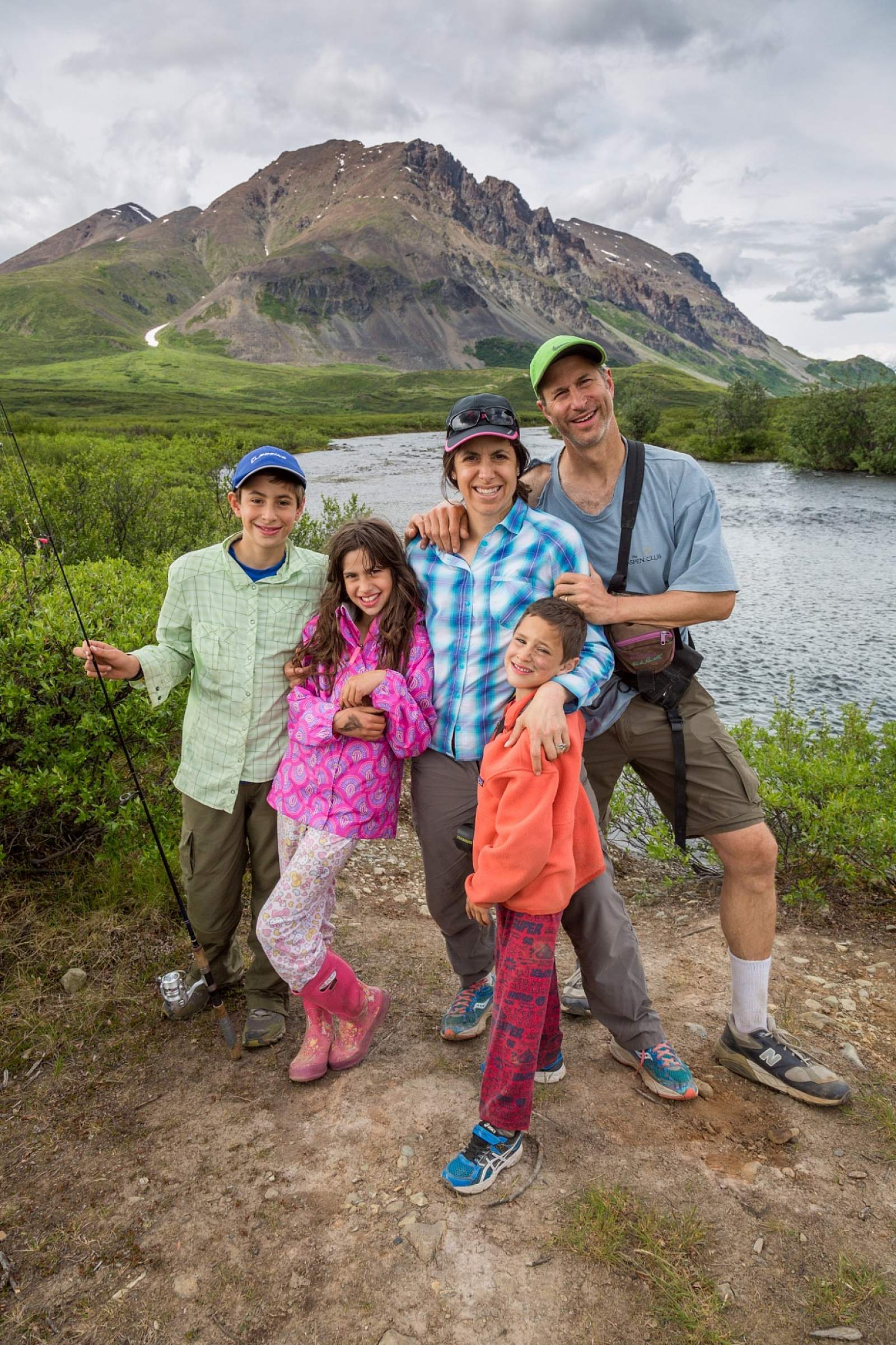
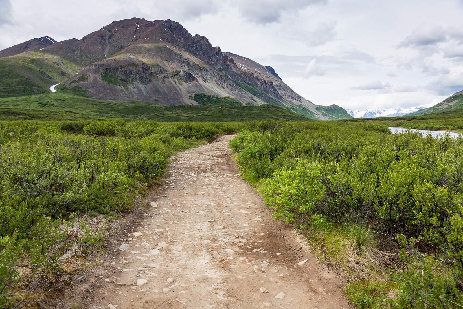
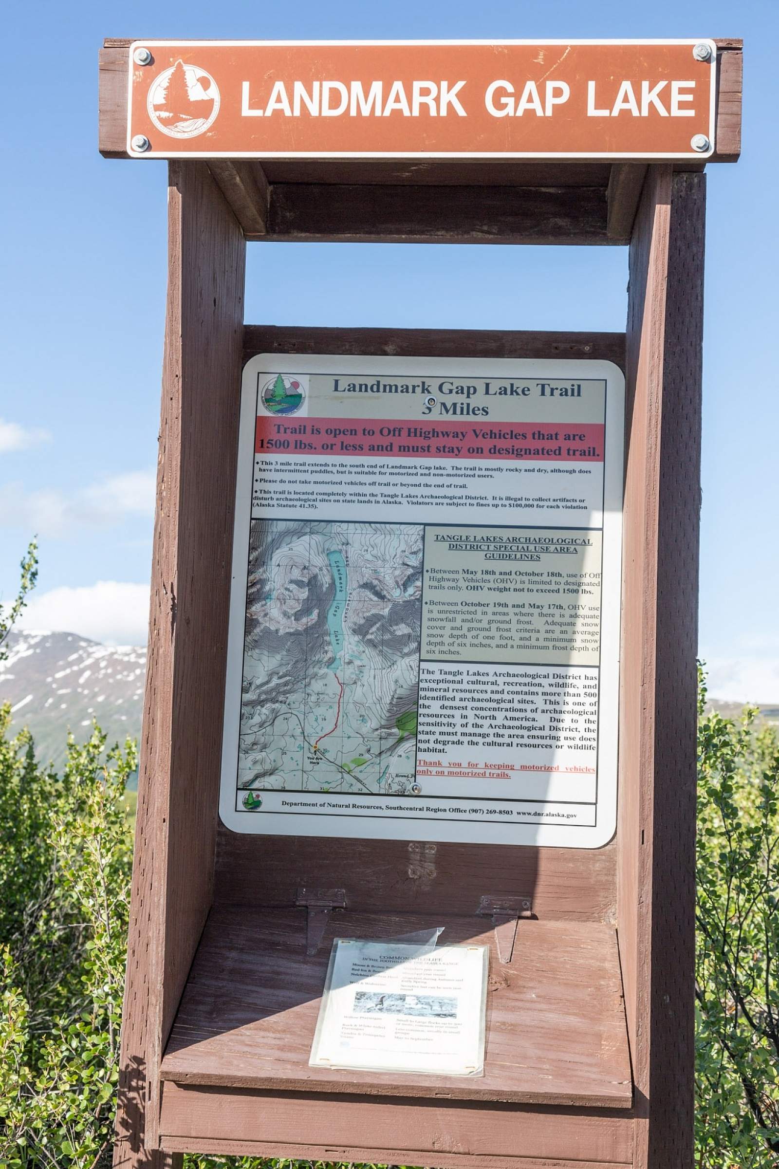
One of the easiest and most popular hikes in the Tangle Lakes vicinity, the four-wheeler track to Landmark Gap is less than three miles, with little elevation gain. The surface is wide and hardened, suitable for mountain bikes or hiking. Even with kids, it only takes about an hour to get back to the lake.
The trail departs the Denali Highway about 150 yards east of the Rock Creek Bridge. However, the river along the trail isn't Rock Creek but rather the river that flows out of Landmark Gap Lake and ultimately flows into the Tangle Lakes system about four miles to the east.
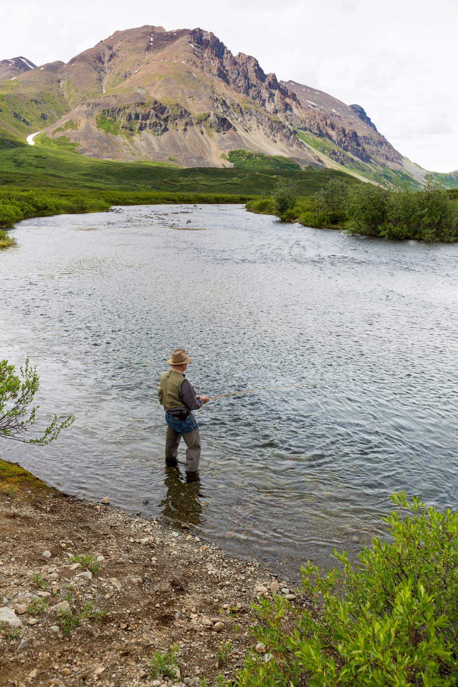
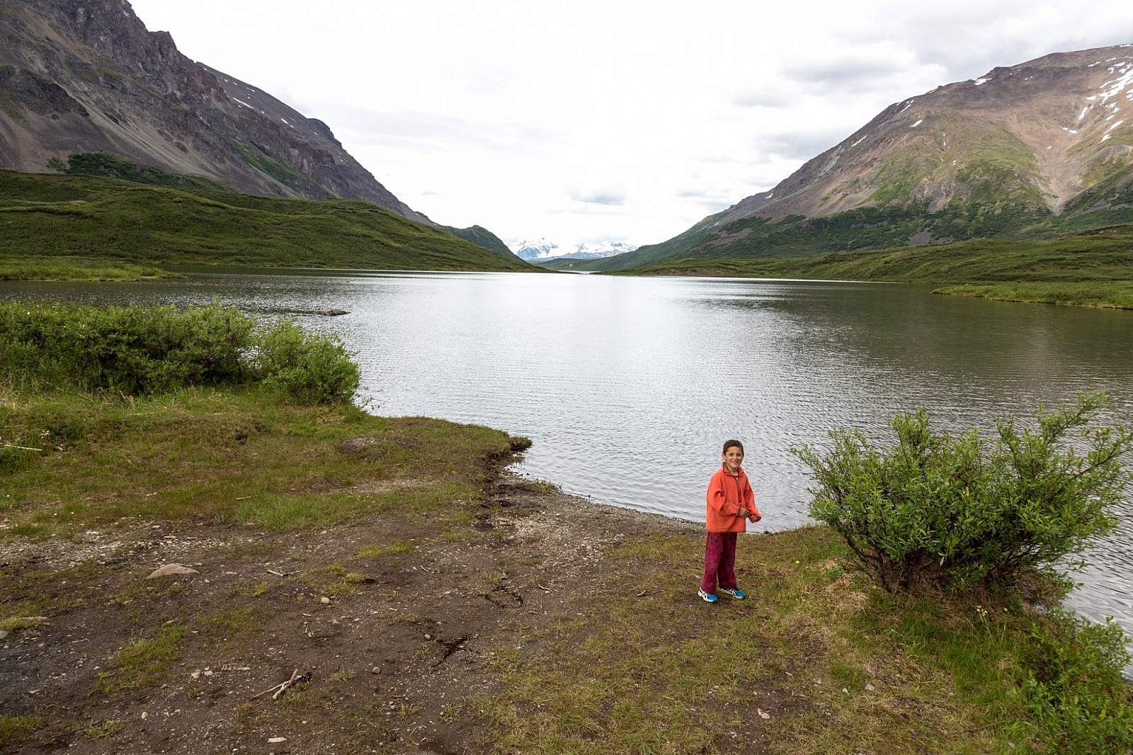
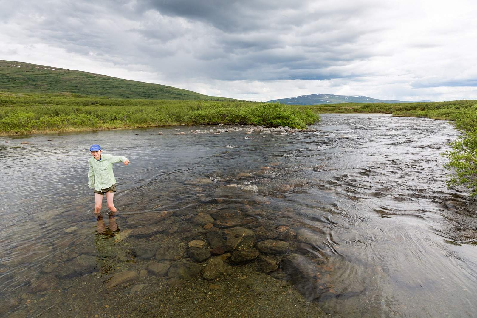
When you get within about a half-mile of the lake, the trail borders the river in several spots, giving access to with deep pools with good fishing for grayling. At the lake itself, you can catch lake trout, though the lake is really shallow along much of the shoreline. Try the creek out flow with dry flies or light tackle.
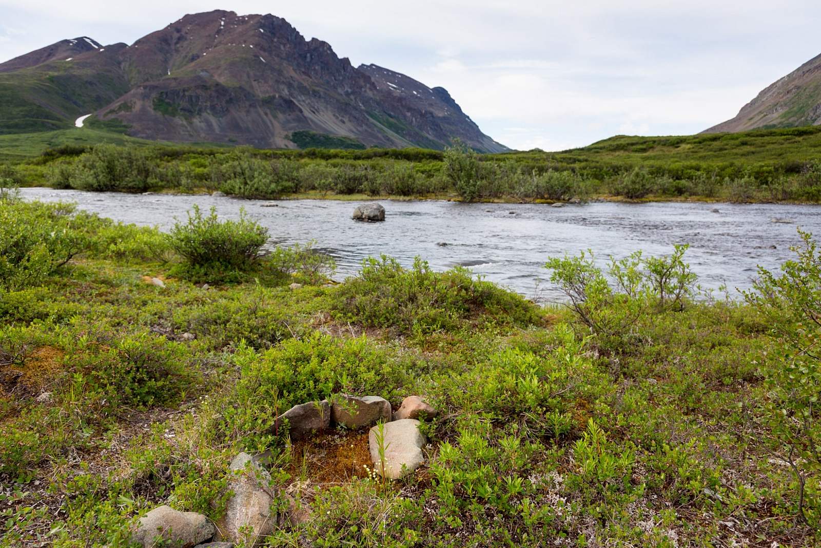
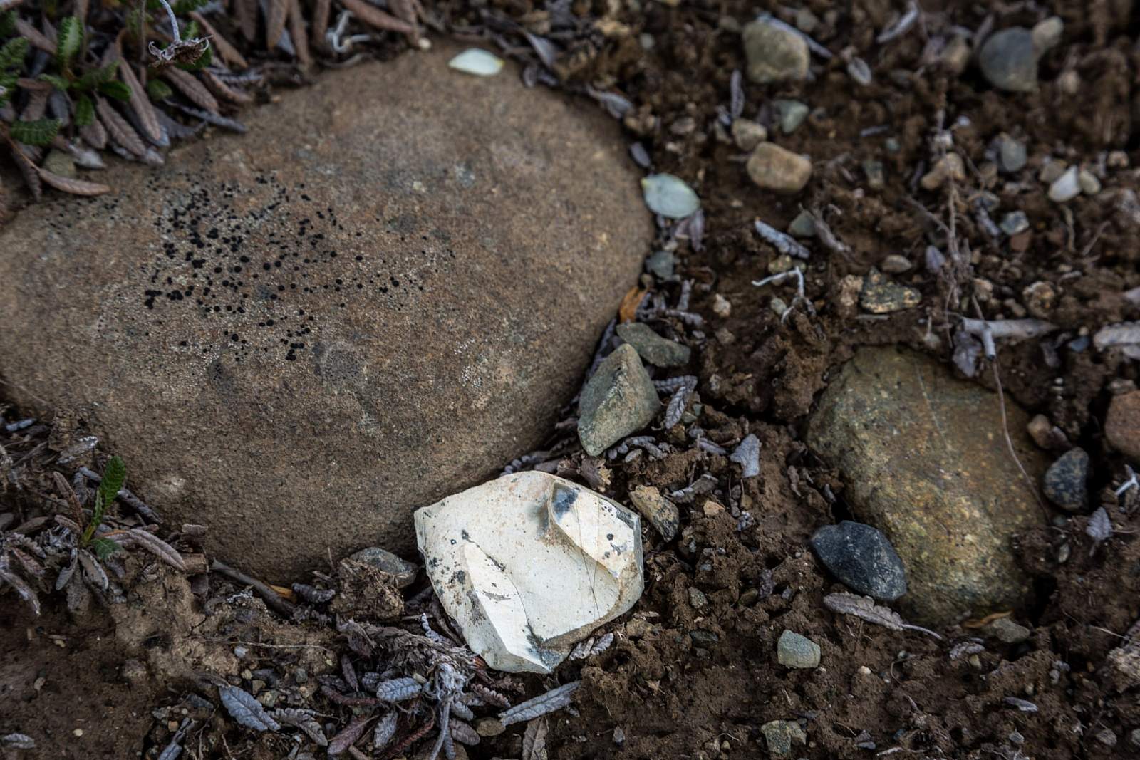
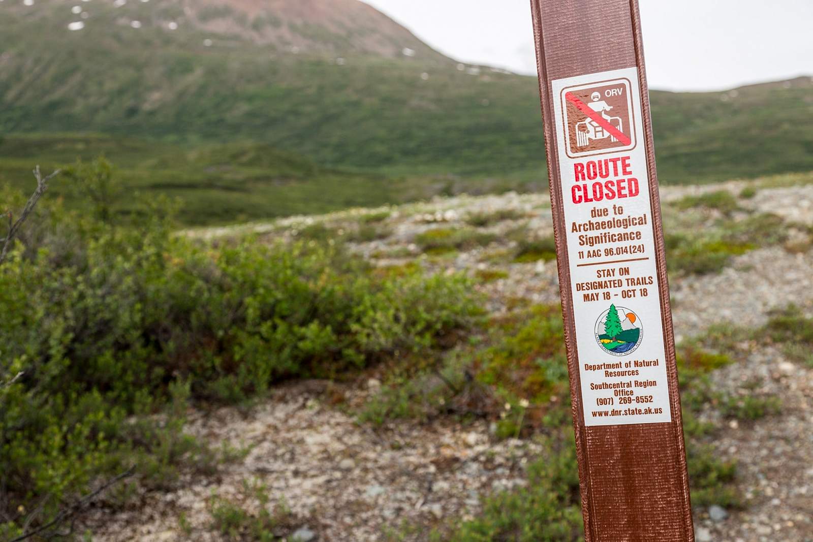
There are several signs along the trail noting sites of archaeological significance. Exploring these areas is discouraged. But if you do, don't disturb any rocks or dirt (tread lightly, and take only photos!) Look for the small rises that offer the widest views of the lake and river. That's where you may find old firepits and loose rock chippings.
Biking note: Expect several rocky stretches that will make it tricky to navigate the best lines. Rocks can be slippery when wet. Still, you should be able to stay on your bike nearly the entire ride.