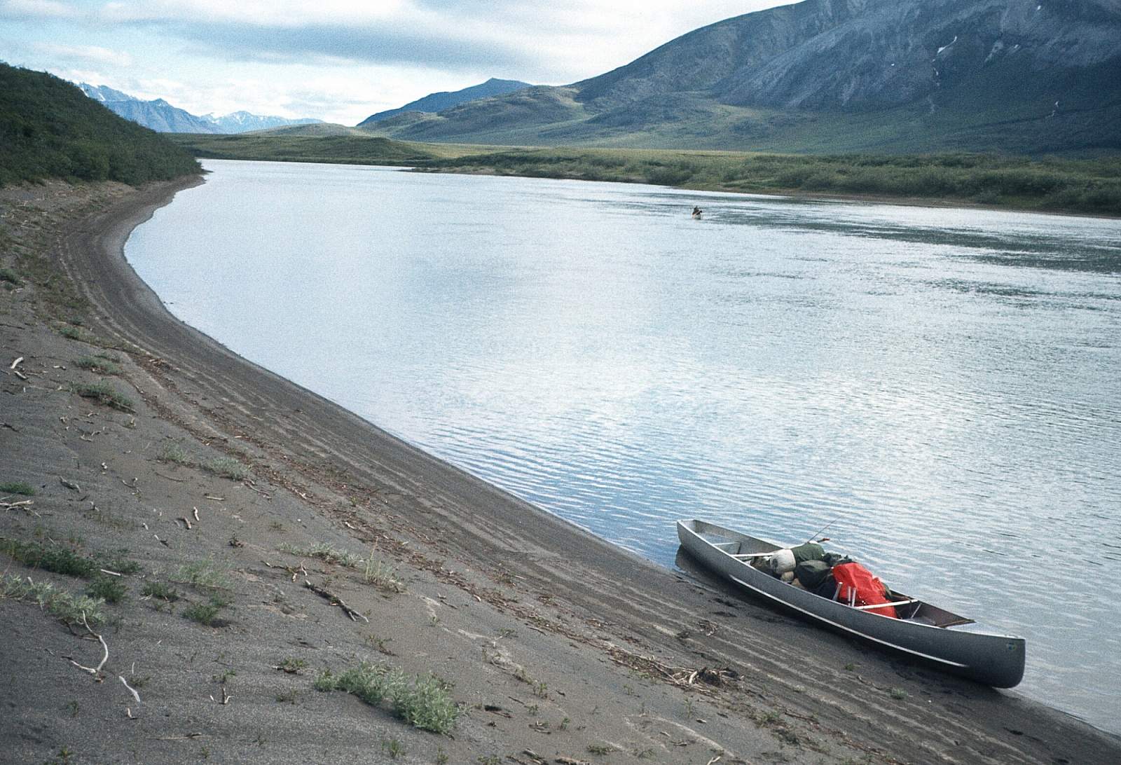
Why Float This River
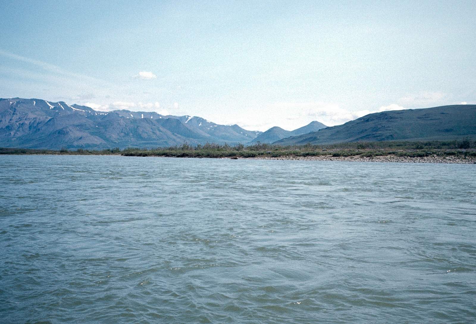
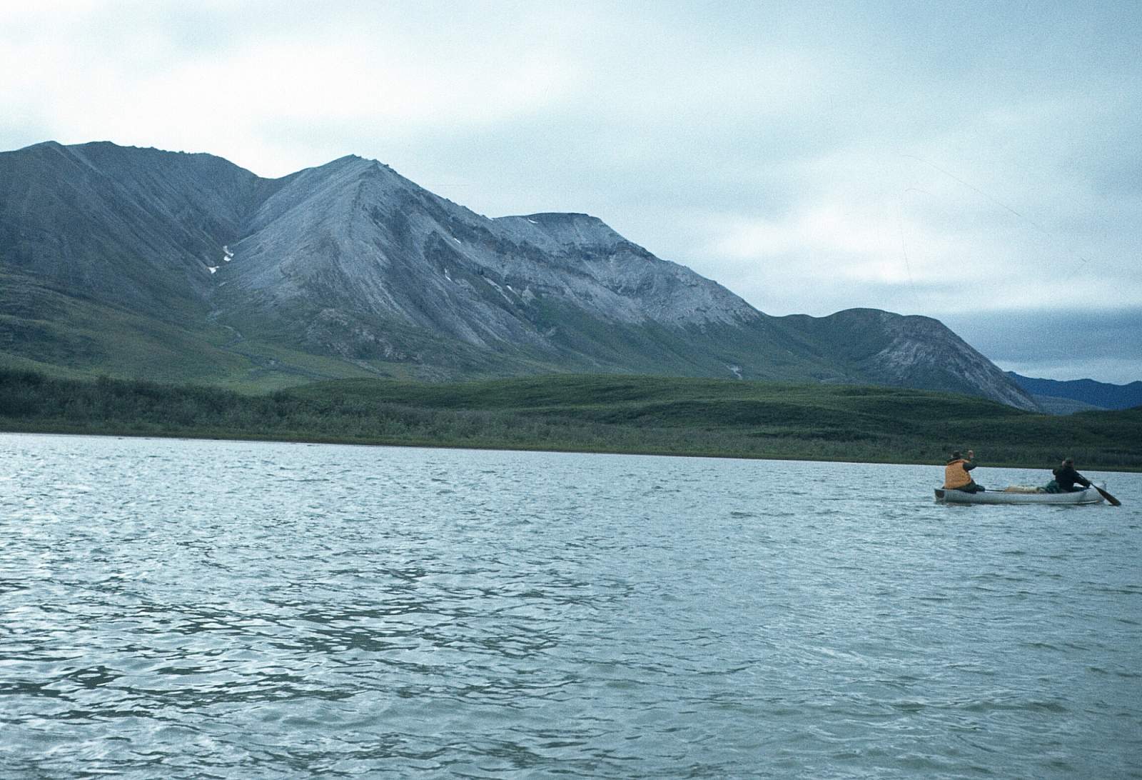
The Killik River begins in the northern portion of Gates of the Arctic National Park and flows north 135 miles to where it joins the Colville River at what is known as the Killik Bend. There is a 105-mile and a 90-mile section of river accessible to rafters and makes for a good 7 to 10 day trip. The river starts in the Endicott Mountains, in the region of Survey Pass at about GPS N 67 degrees and W 46.5 minutes, and flows through a broad, U-shaped valley. The normal river trip begins well below this in the region of lakes just north of the N 68 degrees mark and just at the confluence of Easter Creek and ends at the Colville River, unless you choose to float the Colville down to the town of Umiat for your take out. Some groups have started their trip 15 miles further upriver at a point just below April Creek at a gravel bar strip or from one of the many lakes. The direction of flow initially is to the northwest, then bends approximately 90 degrees to the northeast before heading generally north at Easter Creek. It is Class I and II in most places with one Class III rapid, Sunday Rapids, near the halfway point of the river and a third of the way along the river trip. This is a region of the high arctic with few trees and lots of tundra and muskeg. The lower river is a slow meander through the lake and permafrost country, while the upper river is still deep in the mountains. There are many archeological sites and evidence of early Native American groups living and hunting here.
Put In
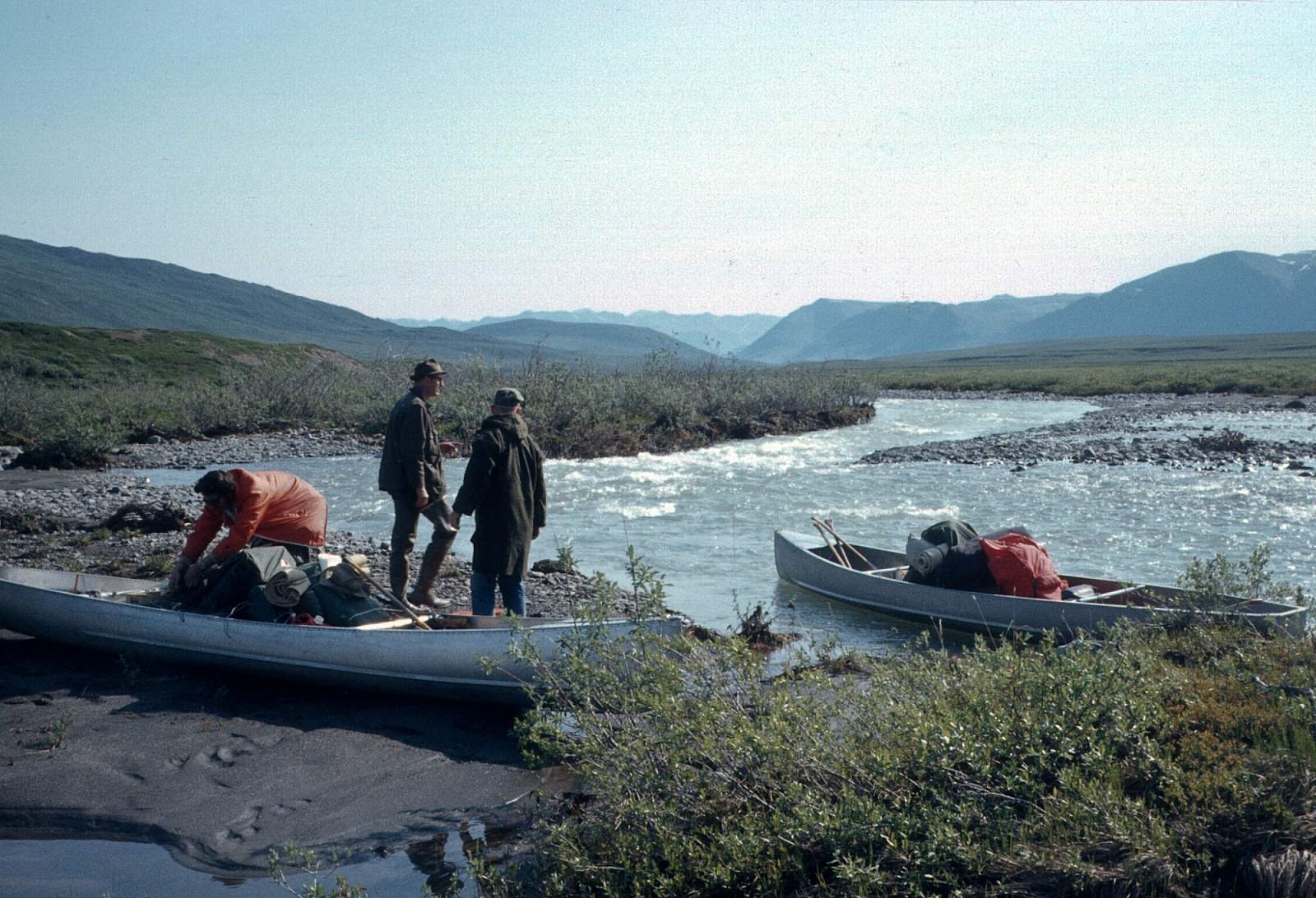
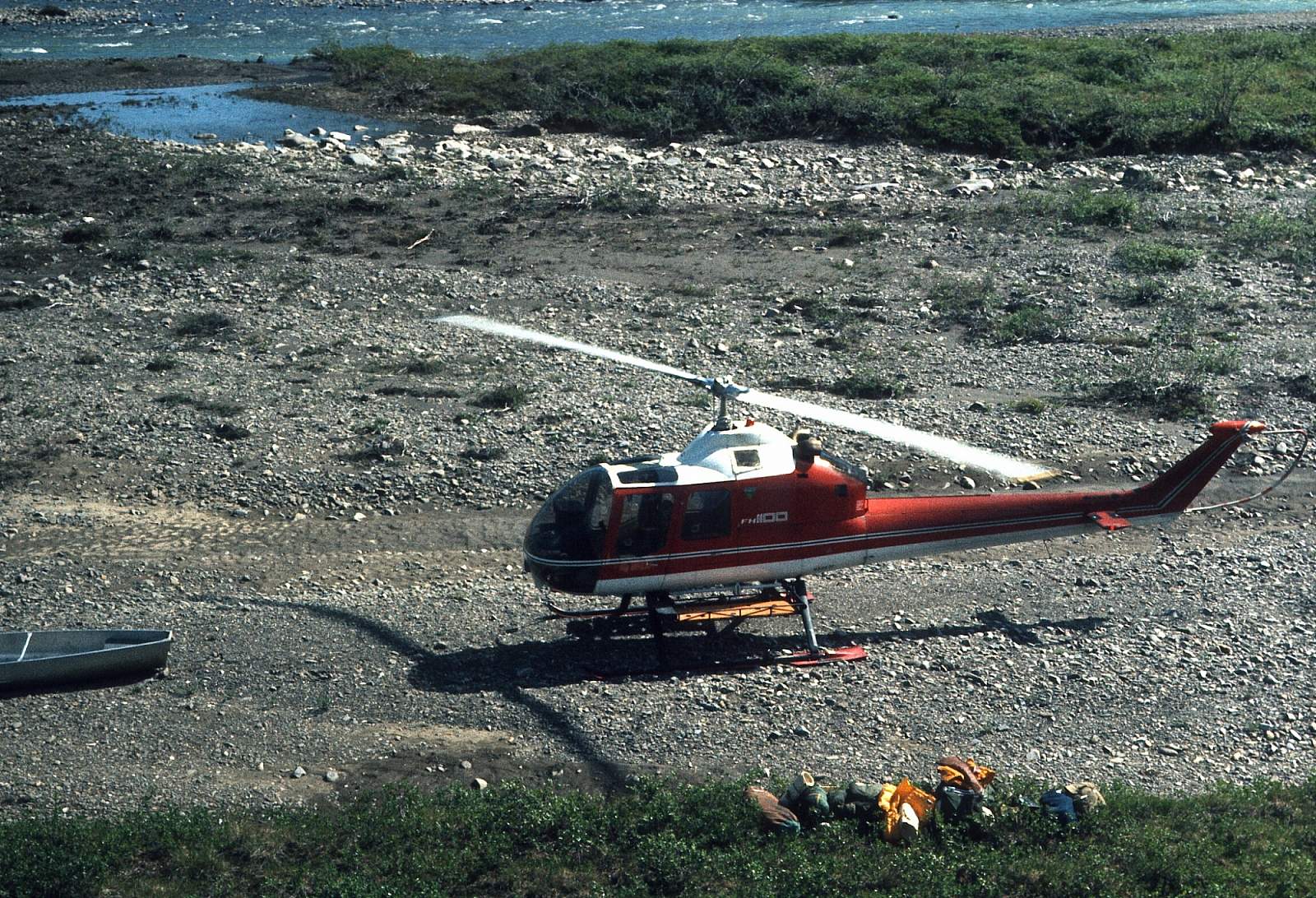
This being a river of the far northern arctic region, flying is necessary to get to and from the river. From Fairbanks you can fly commercially to Bettles or Kaktovik where you can charter a small plane to take you to the starting point at either April Creek if the water is high or at Easter Creek if the water is low. Check with your pilot for a more detailed description of where you will go. Or you could drive to Coldfoot, Alaska, north of Fairbanks, where Coyote Air Service operates, and charter their DeHavilland Beaver for the flight in. There may be pilots based in Nuiqsut or Deadhorse as well.
Take Out
The take out can be one of two locations. Just above and at the confluence with the Colville River are gravel bars that are suitable to land a plane on wheels. At the Colville River is a deep pool where a floatplane could land. Whoever you choose to get you in and out will probably have a preference and can give you a GPS coordinate.
The Trip
April Creek Confluence to Easter Creek Confluence: 15 miles
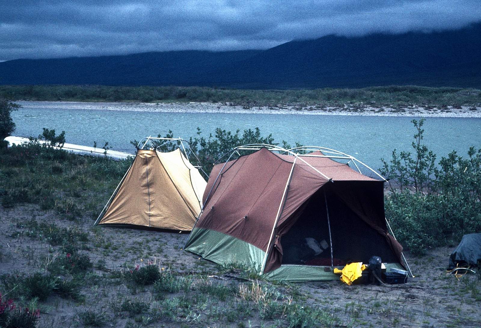
There is a gravel strip near the confluence with April Creek in the region of river, still, well into the mountains and where the hiking is excellent. The river can have low water and dragging of kayaks may occur, even though it is not a difficult process. This section rarely has enough water to float rafts. The river is a Class I or II float along here with good hiking and camping. The river flows northeast as it runs through the braided channels and back and forth from cutback to cutback. Easter Creek is a major tributary that enters from river right at a point where the river begins to flow due north. There is a landing strip here and some groups will start a 90-mile trip from this point, especially if it is low water.
Easter Creek Confluence to Sunday Rapids: 35 miles
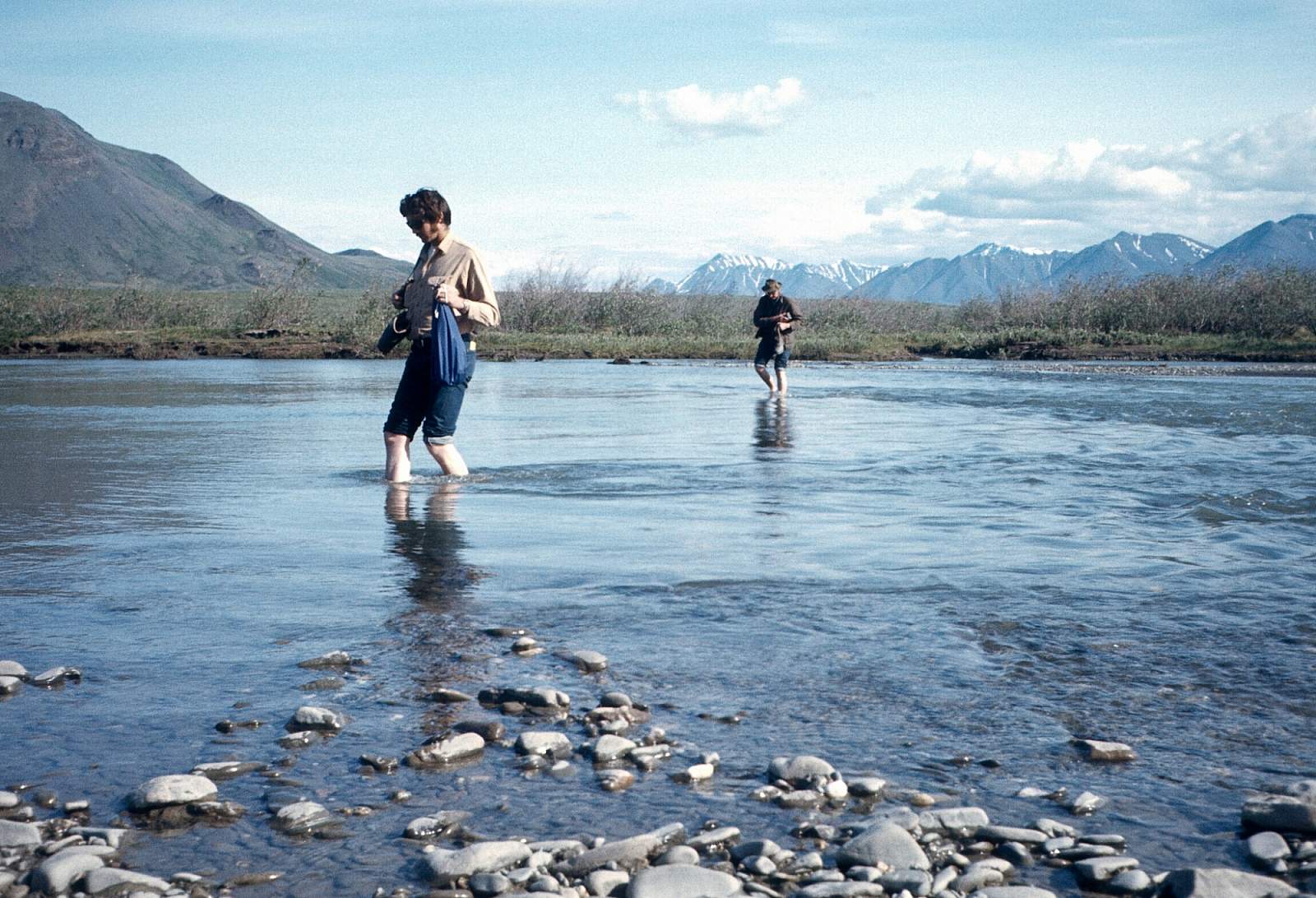
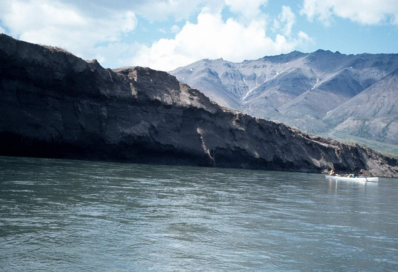
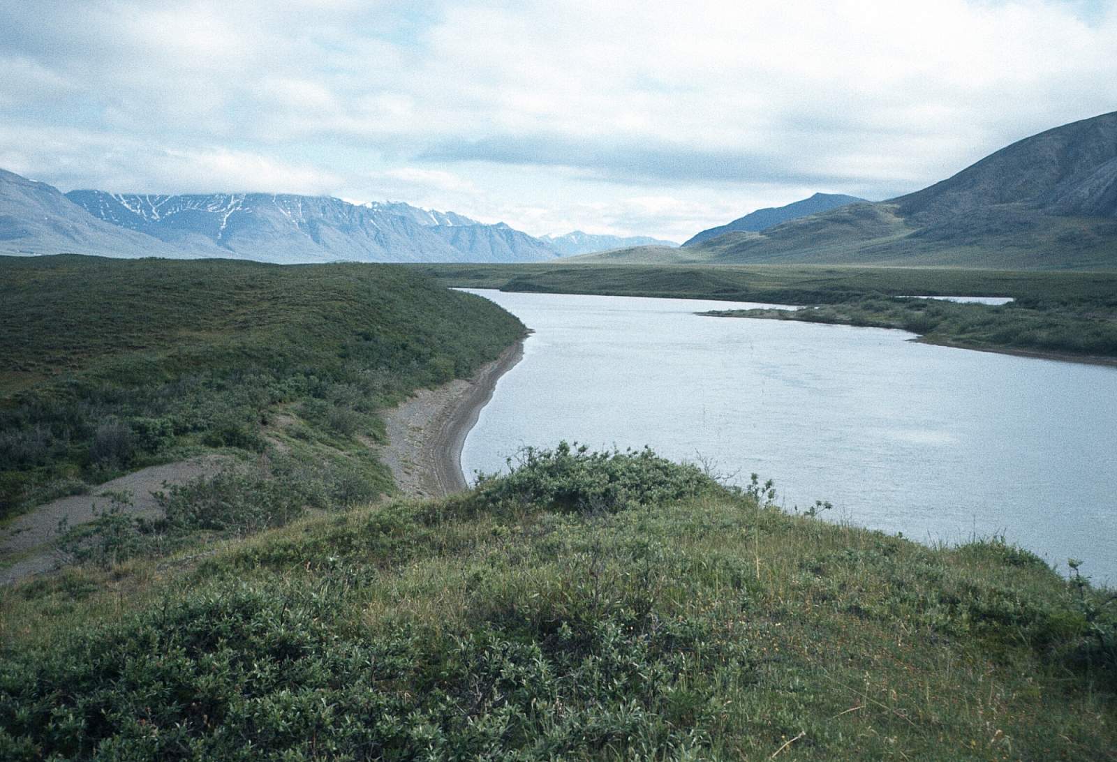
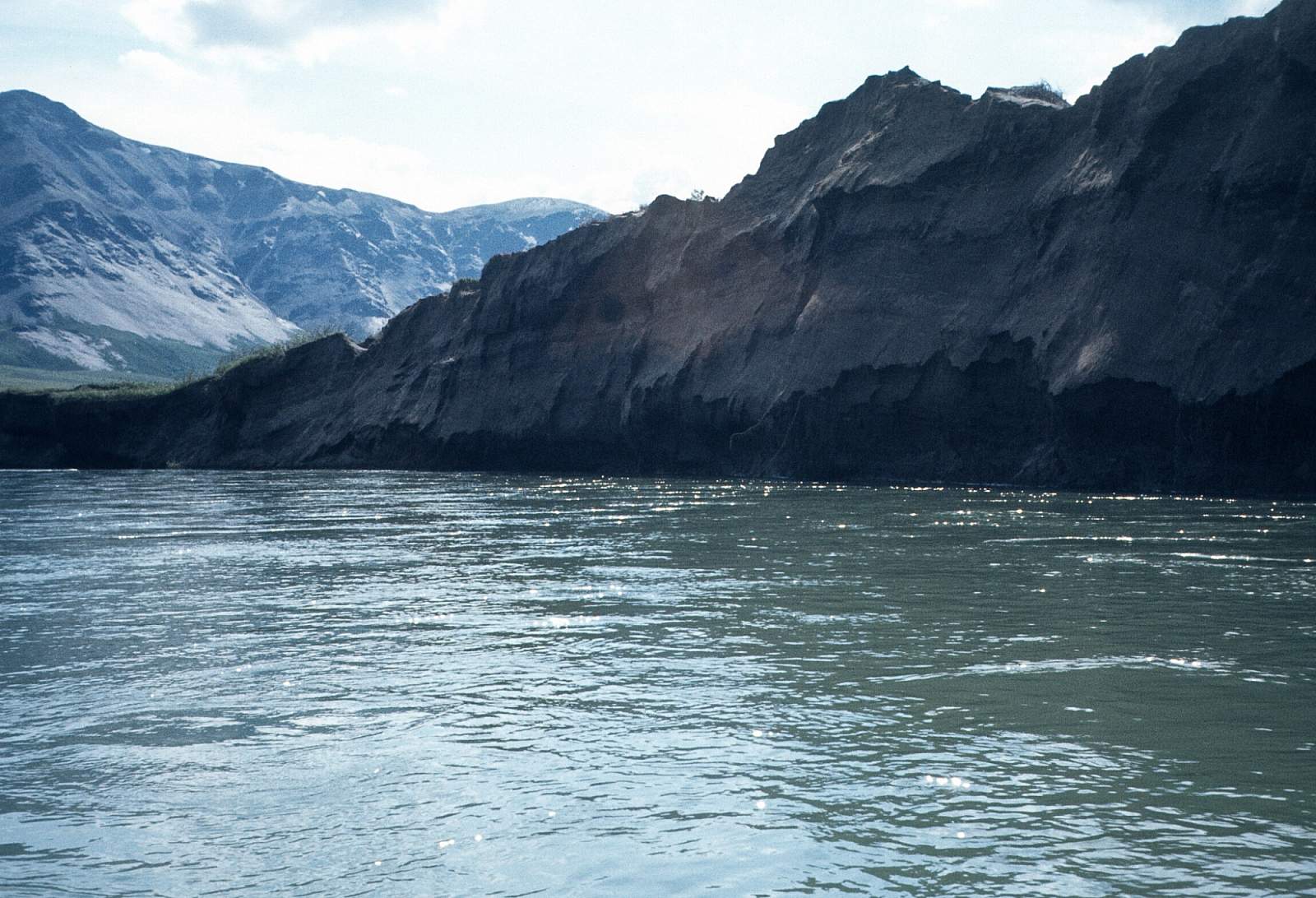
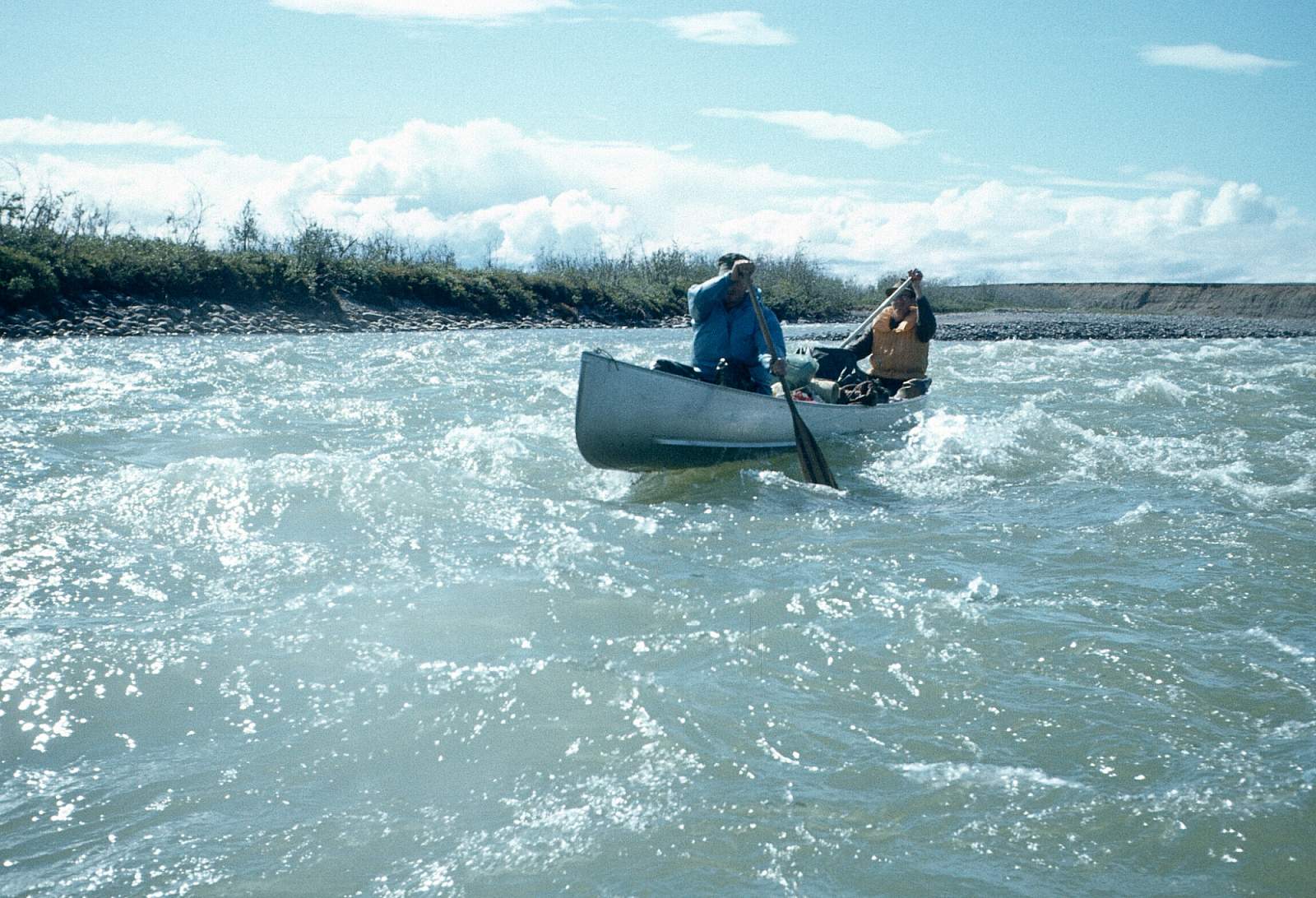
It is here that the final mountain barrier of 7000-foot peaks is found. The river flows through a two-mile wide valley of tundra lakes with a 7400-foot mountain peak to the right and a 7000 footer to the left. The river is a Class II with good current and less chance of having to get out and drag over riffles. Camping along here offers good hiking opportunities on the dry rocky ridges. About 15 miles below Easter Creek you will begin noticing the mountains open up and more riverside lakes appear. At a point where the river makes a big circuitous bend between two large lakes marks the area just before Sunday Rapids. This is a fun section of Class II to III rapids of rocky riffles and standing waves spread along a two-mile stretch. For the next 8 miles occasional Class II riffles occur. A challenge in a kayak and easily lined past, they are no problems for a raft and they mark the area where you enter the upper region of the coastal plains. The rapids start at a point about GPS N 68 degrees and 35 minutes by W 153 degrees and 53 minutes.
Sunday Rapids to Colville River: 55 miles
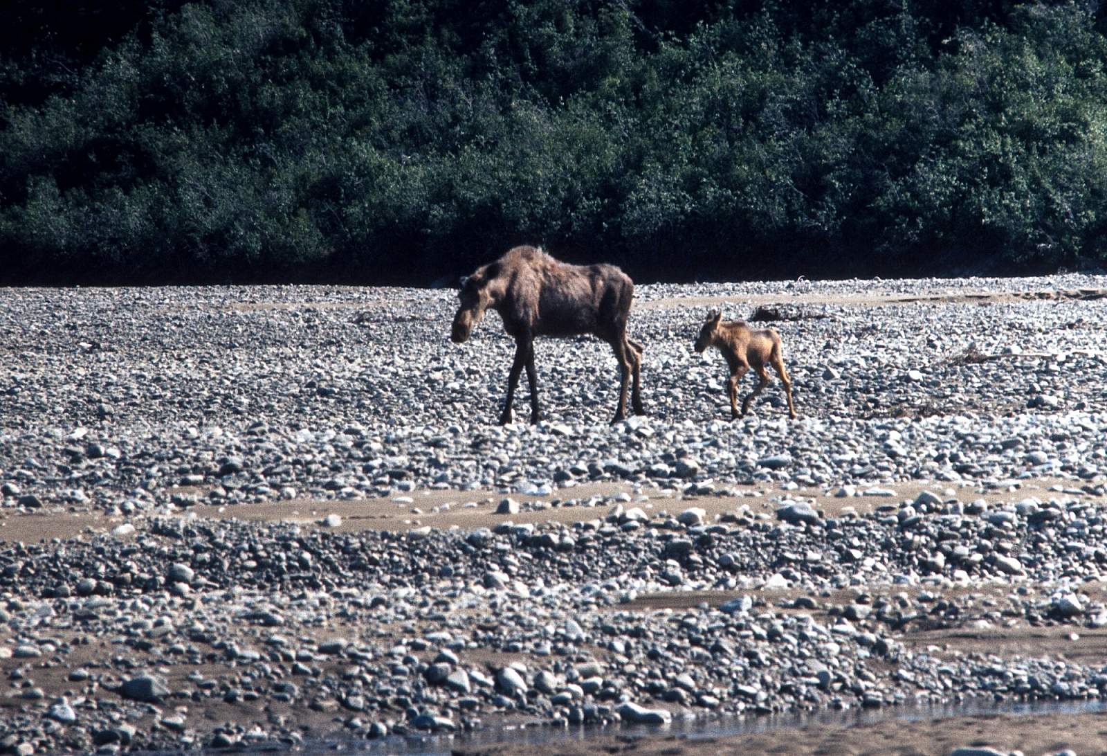
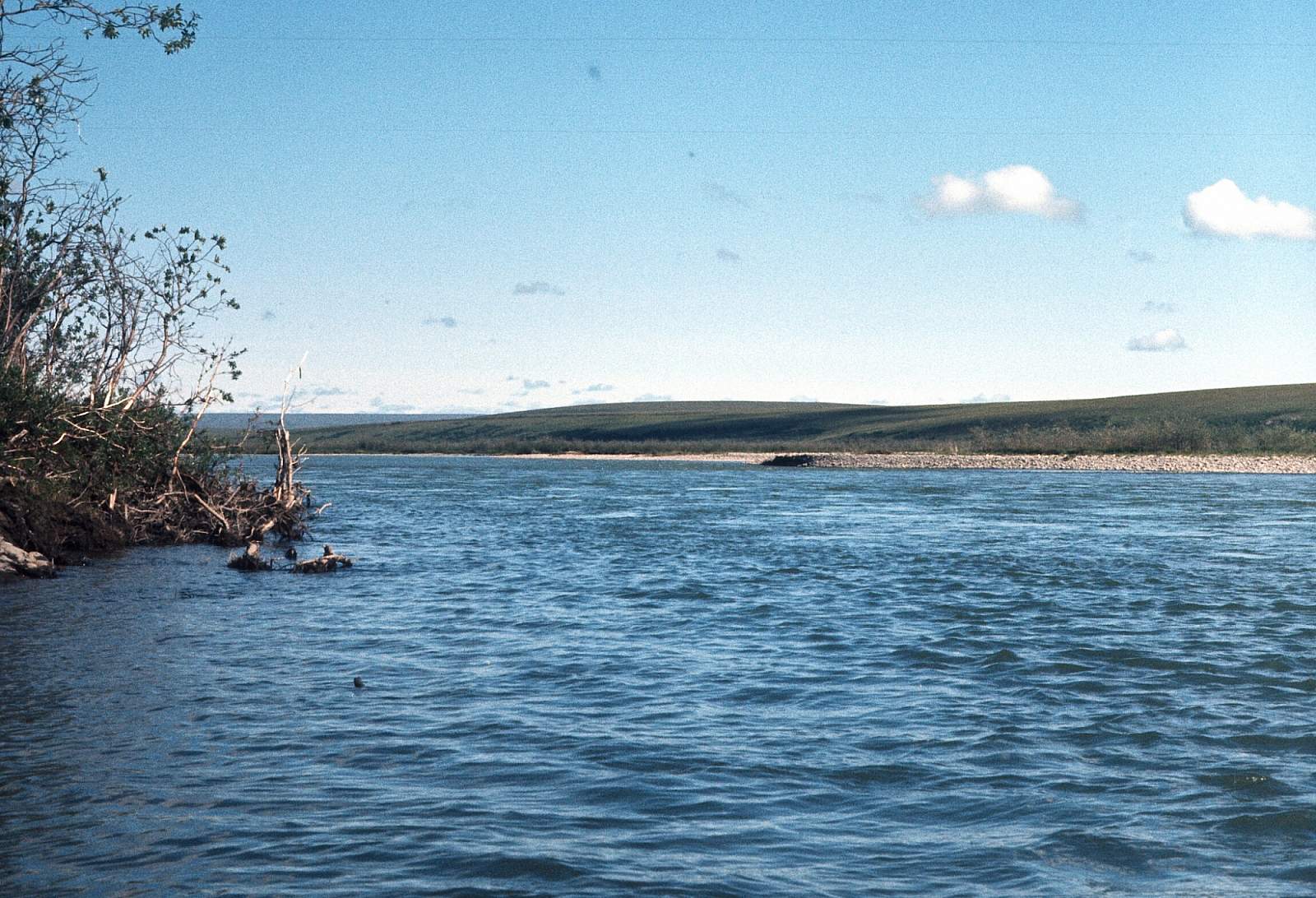
Once through the rapids, the river gradually loses gradient, the current increases in speed, and the river becomes a pleasant float. The river is clear and offers good fishing for Arctic Grayling and Artic Char. For the next 30 miles, the river remains Class II with good current and nice camping sites. At the point 30 miles below Sunday Rapids on river right, another large stream is reached. This is the combined flows of the Okpicruak and Okokmilaga Rivers and can sometimes double the volume, making the final 25 miles Class I and II in difficulty, yet quite swift as it runs through a braided section of willow islands and across gravel plains. There are gravel bars just upstream of the Colville for your take out or you can be picked up by floatplane from the Colville River. Be sure and clarify with your pilot where you should be and have them give you the proper GPS coordinates. The hiking along the Killik Bend upriver along the Colville is very rewarding. There are chances to see much wildlife and birdlife here, as well as fishing for Arctic Char is much better. If you choose to float downriver to the Oil Industry town of Umiat plan an additional 3 days for the 50-mile stretch. There used to be pilots based out of Umiat but these days we are not so sure. The confluence is located at about N 69 degrees and 01 minutes by W 153 degrees and 55.4 minutes.
Other Advice
- This river sees constant headwinds at certain times and can make the downriver miles hard earned.
- Most trips in July have mosquitoes that make head nets mandatory.
- There are several archeological sites to beware off and no disturbance is required.
- There are fossils of various mega fauna of the past and you are required to leave any intact and in situ.
GPS Coordinates
- Sunday Rapids: 68.5833333, -153.88333333333333
- Colville Confluence: 69.0166667, -153.92333333333335
Commercial Air Carriers
Coyote Air Service
PO Box 9053 Coldfoot, AK 99701
(800) 252-0603 or (907) 678-5995
email [email protected]
Bettles Air Service
PO Box 27 Bettles, AK 99726
(907) 692-5655
email [email protected]
Brooks Range Aviation
PO Box 26010 Bettles Field Bettles, AK 99726
(907) 692-5444 (907) 692-2185 (fax)
email [email protected]
Alaska Flyers Air Charter Service
P.O. Box 67 Kaktovik, AK 99747
(907) 640-6324 (907) 640-6218 fax
Commercial Rafting Companies
- Mountain Travel Sobek
- Arctic Treks
- Arctic Wild
- ABEC
Killik River GPS Coordinates
Killik-Colville Confluence
At the Colville River is a deep pool where a floatplane could land. Whoever you choose to get you in and out will probably have a preference and can give you a GPS coordinate. Take out option for Killik River.
66.51107100, -152.78228800
Gravel Strip at Colville River
Just above and at the confluence with the Colville River are gravel bars that are suitable to land a plane on wheels. Take out option for Killik River.
66.57229900, -152.63946500
April Creek
This being a river of the far northern arctic region, flying is necessary to get to and from the river. From Fairbanks you can fly commercially to Bettles or Kaktovik where you can charter a small plane to take you to the starting point. Start here if the water is high. Put in option for Killik River.
68.11019800, -157.16915100
Easter Creek
This being a river of the far northern arctic region, flying is necessary to get to and from the river. From Fairbanks you can fly commercially to Bettles or Kaktovik where you can charter a small plane to take you to the starting point. Start here if the water is low. Put in option for Killik River.
68.14250000, -154.16277780
USGS Maps
Killik River A-1, A-2, A-3, B-2, C-1, C-2
Ikpikpuk River A-2
Survey Pass D-3, D-4
Distance
90-105 miles
Days
7-10
Difficulty
Moderate
Class
I, II, III
Craft
Canoe
Kayak
Raft
Cost
$$$