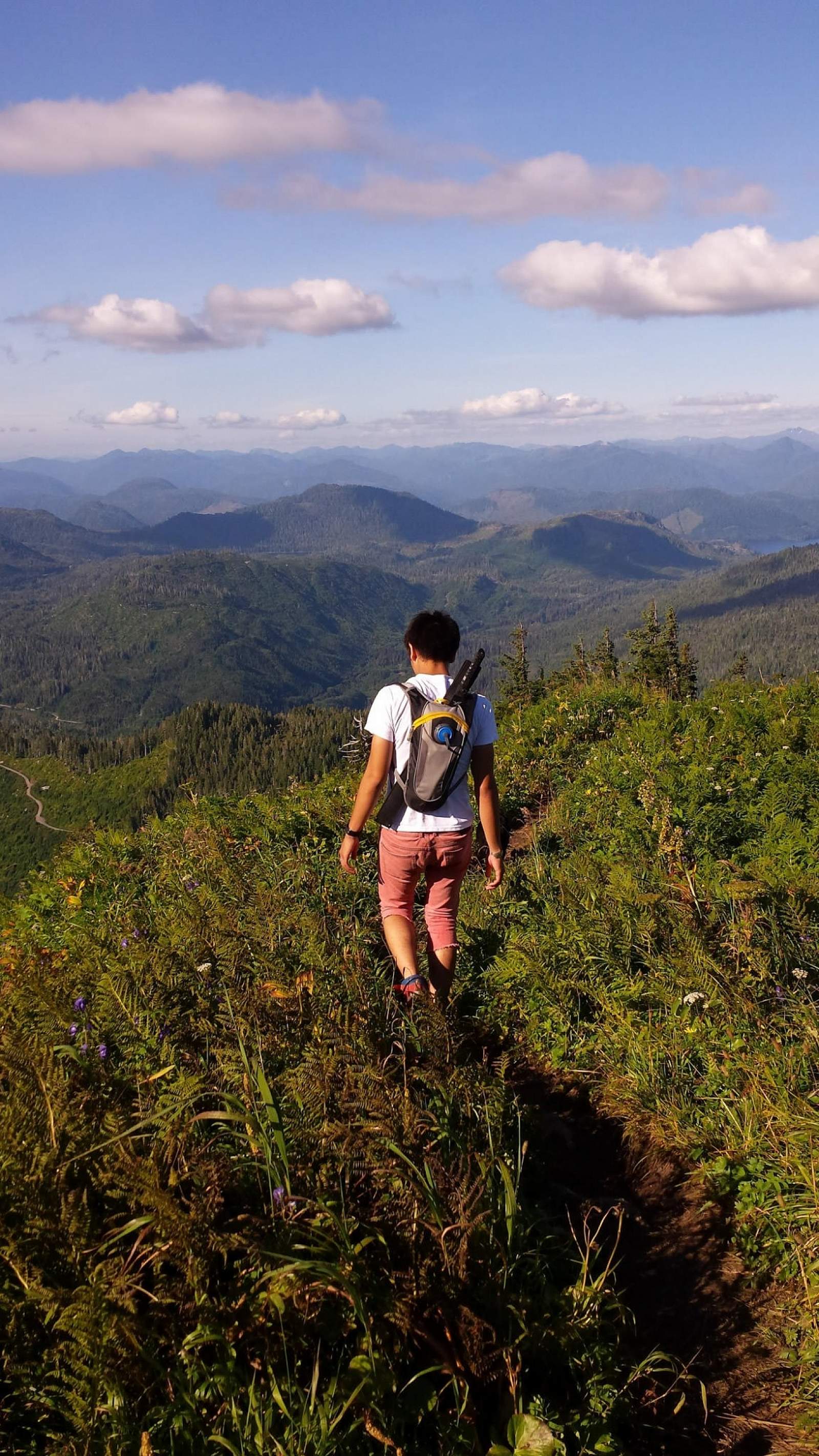
The drive out to the Dude Mountain trailhead is one of the most scenic drives that Ketchikan has to offer. Starting from downtown Ketchikan, the drive can take about forty to fifty minutes. The second part of the drive is a blacktop road that turns into a dirt backroad through a mountain-rimmed valley that leads toward the interior of the island, where one can continue on to George Inlet or spoke off to Harriet Hunt Lake or up Brown Mountain Road, where the trailhead to Dude is. Brown Mountain Road is our only true twisty mountain road that climbs up into the high country vistas that is popular with weekend sightseers, hunters, wood and berry gatherers, and hikers. Brown Mountain Road dead-ends at the Dude Mountain trailhead. Squarely placed within the Tongass National Forest, Dude Mountain is one of the quickest ways, on foot, to reach the alpine tundra. From the trailhead, it is a 1.5 mile climb up 1500 feet. Depending on one’s pace, the climb can take up to two hours or more, one way. Generally, there is no cell-phone service, so it’s good to be prepared for an emergency and to bring warm clothes, rain gear, flashlight, food, and water as the weather can change quickly in Alaska’s mountains.
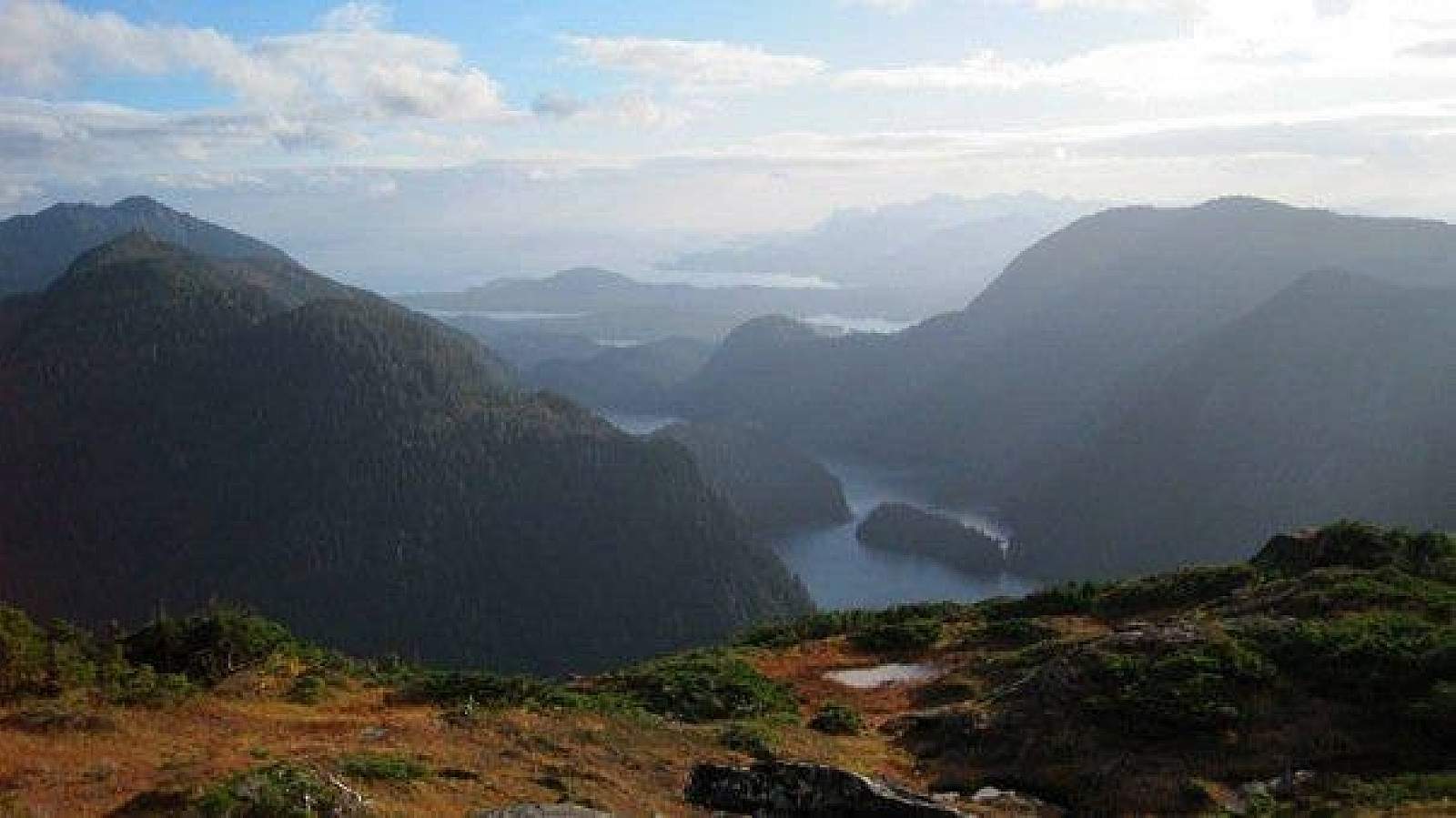
The gravel trail winds its way up to turn into boardwalk through the lush rainforest and the beginning muskeg meadows above and then turns back into gravel in the alpine. The last part of the hike is steep and can be muddy in wetter weather or covered in snow depending on whether one is hiking in spring or late fall, so a trekking pole or two can be useful both on the ascent and descent. Once the big snows fall, Brown Mountain Road is only accessible by snowmobile. Usually June into October offers a snow-free ascent. Just before the last part of the climb, the trail pops out onto a ridge between two valleys with clear views of John Mountain to the left and on the right, Brown Mountain and the Tongass Narrows if it isn’t cloudy. Straight ahead, Dude Mountain’s summit bekons where the ridge leads to the face, which is exposed and steep, but isn’t considered a rock climb. Generally, with careful, slow placement of feet, one can step up the rutted-out dirt path filled with rocky steps. Once atop the face, follow the trail around to the right, behind the summit, and then cut up and into the krumholtz to the summit proper. On this brief last stretch, there can be knee-deep mud holes and one can find a small camp-sized clearing that overlooks Brown and Diane Mountains and the Tongass Narrows to the north and west. To avoid the tangled mud holes, instead find a perch in the alpine anywhere below and to the left of the krumholtz and enjoy the ridgeline of Diana Mountain to the right and the whole ridgeline to the left across the valley that houses Deer Mountain, Northbird Peak, and John Mountain. Below is Ketchikan Lake and far out toward the western horizon is the Dixon Entrance that floats beyond Annett Island and the Percy Islands into the great Pacific Ocean.
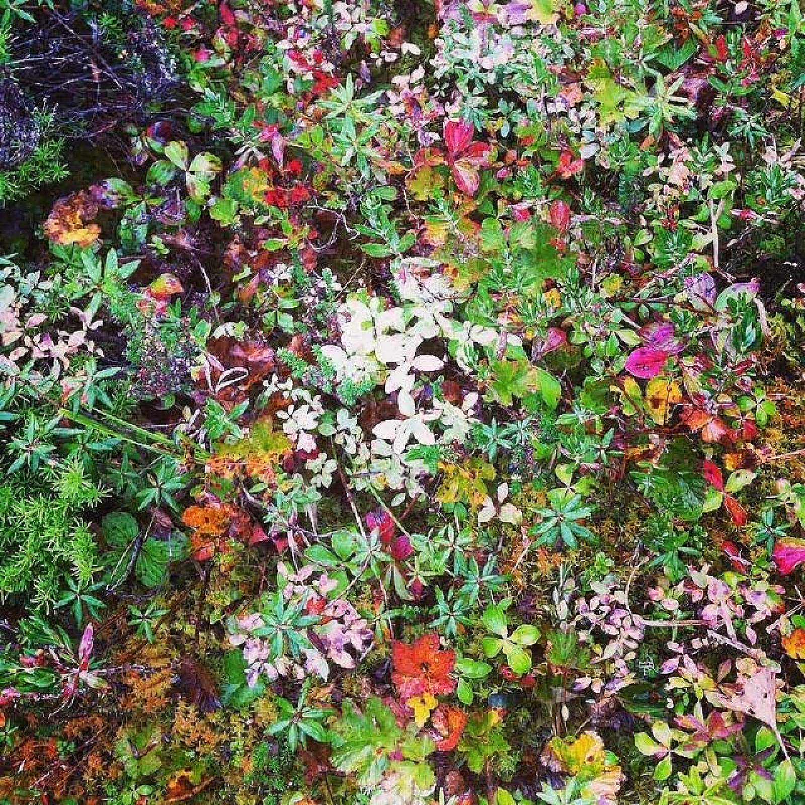
Goats and ptarmigan can be spotted on this hike, and a two-foot tall brass statue called The Lady of the Mountain can be looked for that locals like to continually move around for the next hikers to search for. But if you go on a day without any float planes buzzing around, one thing you can usually find is a beautiful and deep silence emanating from the unending horizon of ocean and the mountains stretching into Canada.
*Trail description written by Teague Whalen, owner and operator of Mindfulness Rainforest Treks. Join him for a guided hike on nearby Coast Guard Beach when you’re in Ketchikan.