Deer Mountain is Ketchikan’s iconic and idyllic backdrop. From the parking lot, the path briefly threads between a couple of residential lots and soon turns to a rocky trail that quickly begins to ascend. Ravens often caw and click to each other from their perches in the high branches of the dense Sitka spruce forest that the trail switchbacks through. The well-built trail is often stepped with logs buried into the rocky soil at points and a few wooden bridges with railings cross over small streams. The air breathes fresh and full of moisture here and white water tumbles over rock in the lower reaches of the mountain.
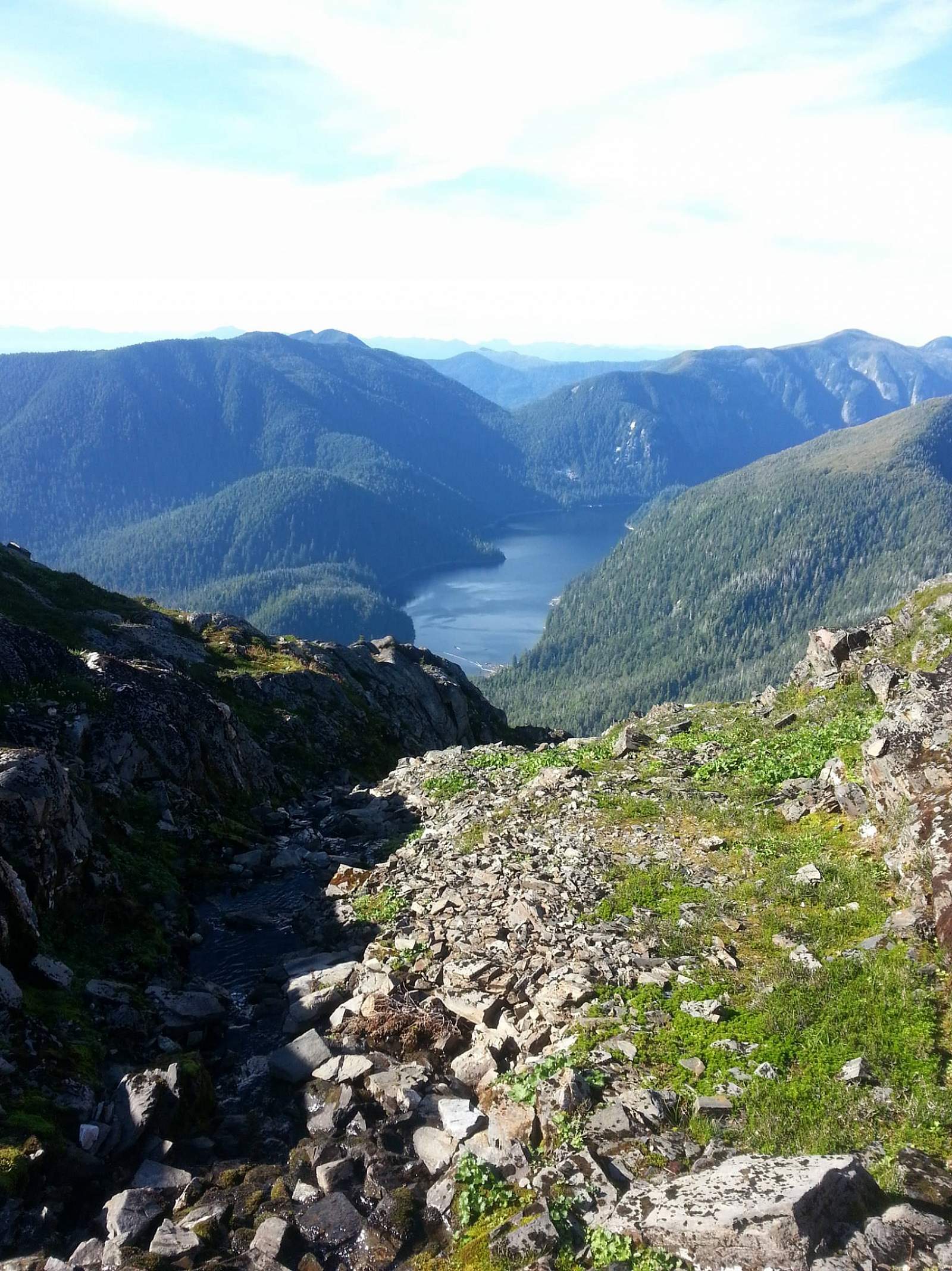
About a mile up the trail, a small rock outcrop and an opening in the trees creates what we refer to as the “first overlook,” which gazes upon the city edge of Revillagigedo Island and across the Tongass Narrows at Pennock Island, Gravina Island, and Annett Island. Out further lies the Dixon Entrance and the open Pacific Ocean, where the southern tip of Prince of Wales Island ends on the right and the Percy Islands dot the passage on the left. Moving on, the trail flattens out a little as it skirts around the edge of the mountain before it begins its winding journey up again. Not far along, one will soon cross a relatively new clearing from a landslide that peeled off the mountain side a few year ago in heavy rains.
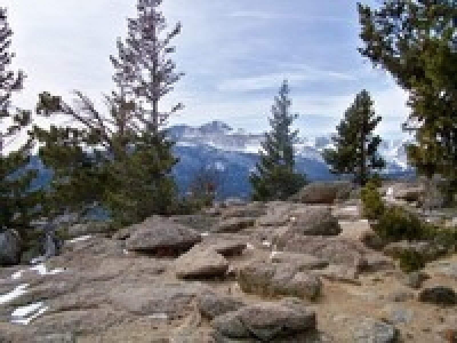
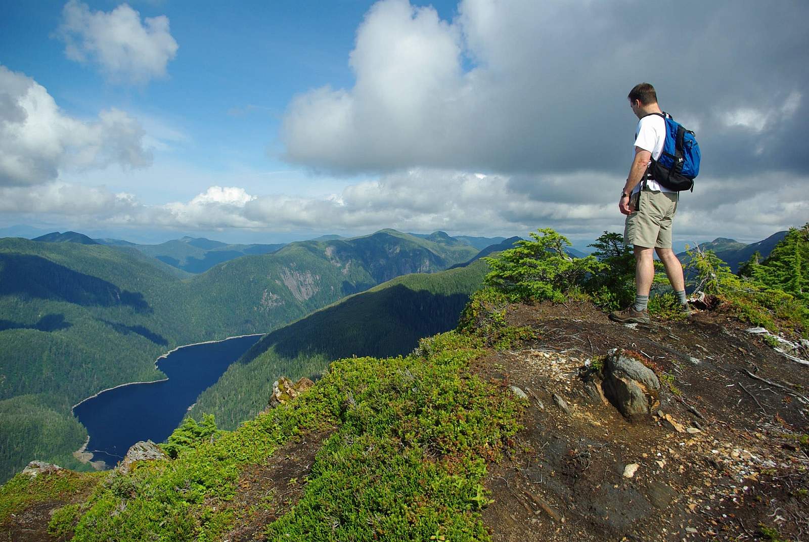
From here, the trail begins to wind up and around for the next mile as you climb onto the shoulder of Deer Mountain. The forest begins to open up, and eventually, the trail leads you to the “second overlook.” Here the face of the peak juts above the forest to the right a little way off yet where the trail continues, and to the left is a short jaunt to a scenic view that looks out over Ketchikan far below and the mountains stretching west and north with the Pacific.
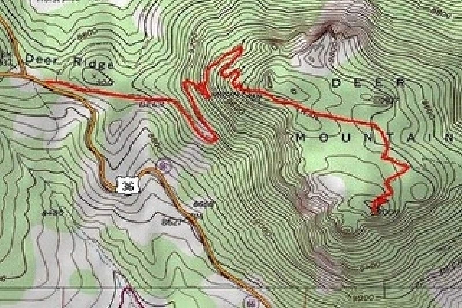
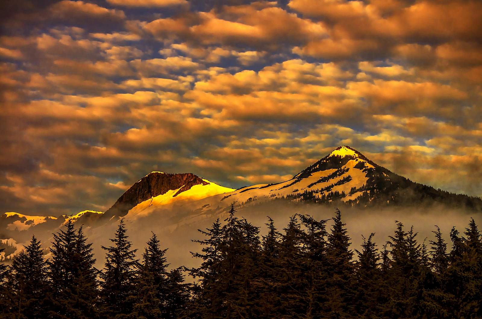
Generally, in the summer months and early fall, the peak is free from snow and the trail easy to follow as it switchbacks up the face with an expansive view of Ketchikan Lake down below and Dude and Diane Mountains on the other side of the valley. Following the path across the bottom of the face, one comes to a fork in the trail. Take the trail right and continue ascending through the switchbacks up the peak’s face until the trail skirts around the right of the top, through some low, scraggly pines, and then curves back around from the rear of the peak and dumps you on top for a splendid view from the northwest peaks and Pacific to the southeast mainland peaks all the way into British Columbia, Canada.
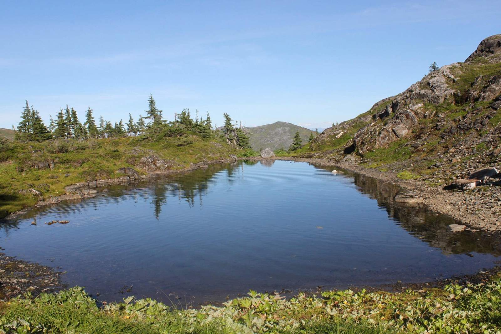
Returning back down the face to the fork in the trail, amble off to the right maybe a quarter of a mile, and you can find the Deer Mountain shelter, built and maintained by the National Forest Service. The shelter is an A frame complete with a wooden table and benches, which can be slept on as well, and offers a loft upstairs for sleeping too. An outhouse is tucked away just beyond the shelter, and back toward the trail lie some small pools for gathering water, which can be treated for hydration and cooking purposes. With some luck, your stay can seem like you are the only one on the planet as the peace of the mountain stillness descends with the chill of night, the sky deepens and darkens, and the stars begin to pop out.
*Trail description written by Teague Whalen, owner and operator of Mindfulness Rainforest Treks. Join him for a guided hike on nearby Coast Guard Beach when you’re in Ketchikan.