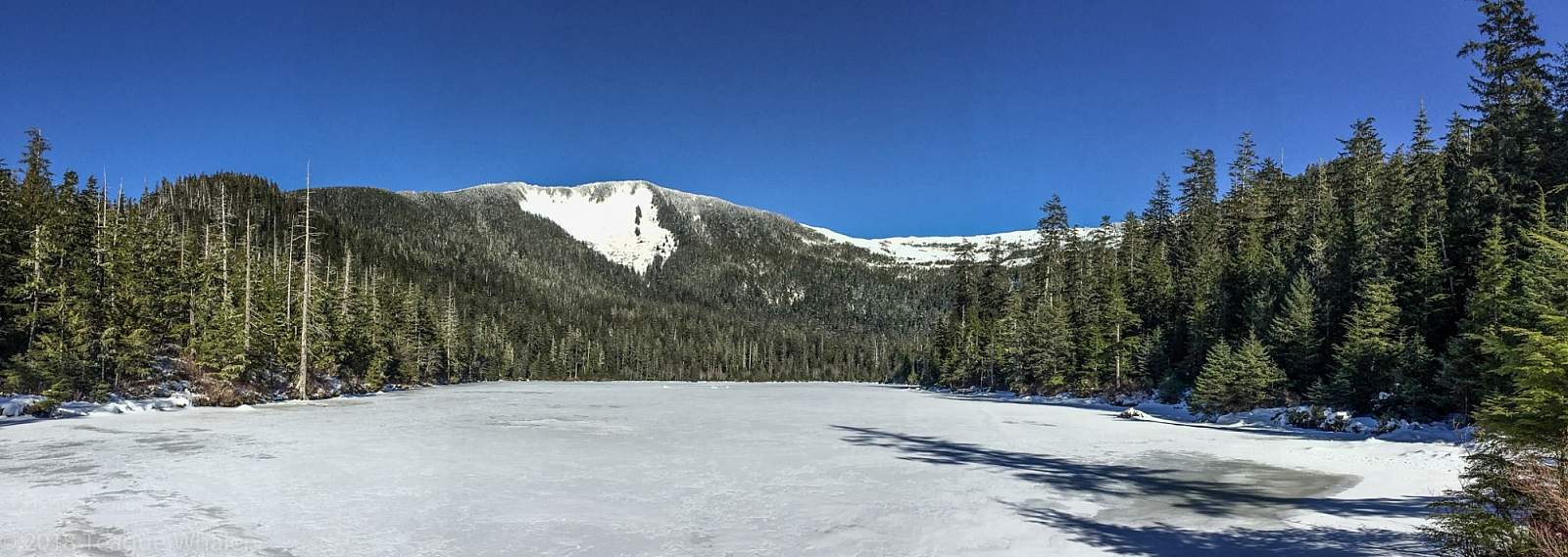
If you are looking for a shortish “in-town” trail, this trail begins at the back of a neighborhood and walks up a service road to a dam that overlooks a mountain-lake scene. To the right of the lake, the trail offers docks and decks to fish or sit and enjoy the scenery and is a well-improved trail up to the creek at the far end of the lake.
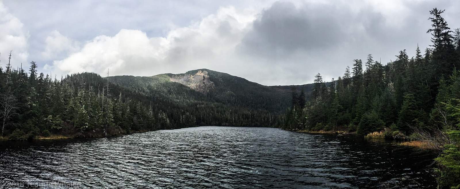
At the parking lot will be a gated gravel service road that runs uphill through the woods to the Carlanna Lake dam. Hike about a half-mile up this road to arrive on the dam where you will have a head-on view of Carlanna Lake stretching toward a big mountain bowl that spans between Juno and Ward Mountains. Veer right to access the trail that walks through the forest along the edge of the lake.
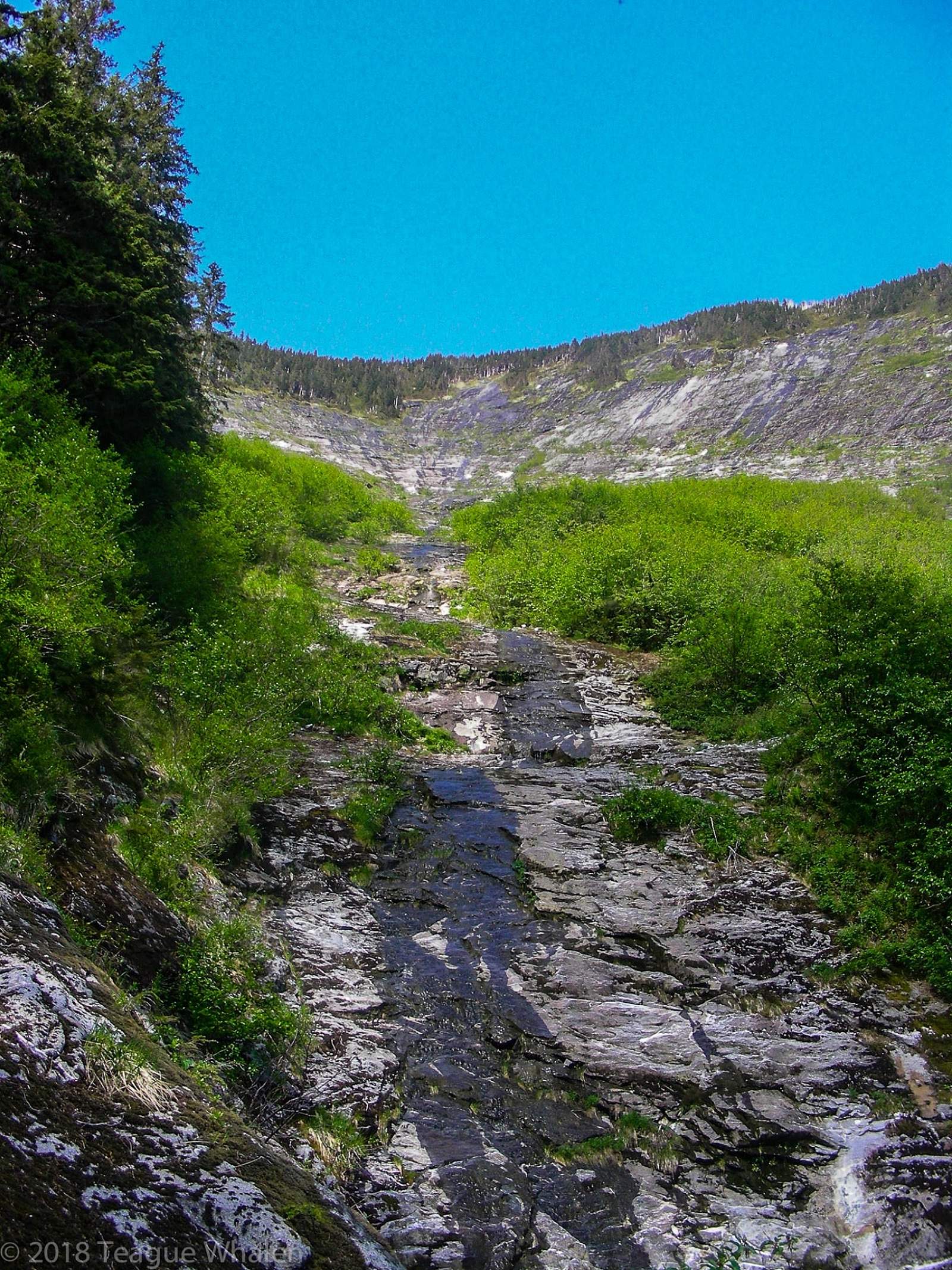
The trail is improved with packed gravel and along the way are a few boardwalk off-shoots to the left that quickly terminate at fishing platforms for those who want to fish for rainbow trout. The trail rolls on until one will come to a bridge that spans a creek that feeds this end of the lake. Here the trail becomes narrower and begins to slowly switchback through an open forest of large cedars and spruce trees as it begins to steadily climb to the left of an avalanche shoot, which is just out of sight. As you begin to gain some elevation and swing up onto one edge of the avalanche chute, a trail will spur off to the right, allowing you to briefly walk into the chute for a view of the bowl above. However, this spur ends here.
Back on the ridge, keep stepping up the trail until it leads you again into a small basin within the avalanche chute where water gathers draining from the bowl above. Here you can see the ridgeline above where sometimes mountain goats can be spotted, and behind you is a pleasant view of lower parts of Minerva Mountain. This is a nice spot to soak up the sun if it is out, drink some water, and enjoy the view here at the terminus of the Carlanna Lake trail. However, this is also where the Minerva Mountain Trail begins if you continue to follow the trail up and out of the basin onto the other side of the avalanche shoot.