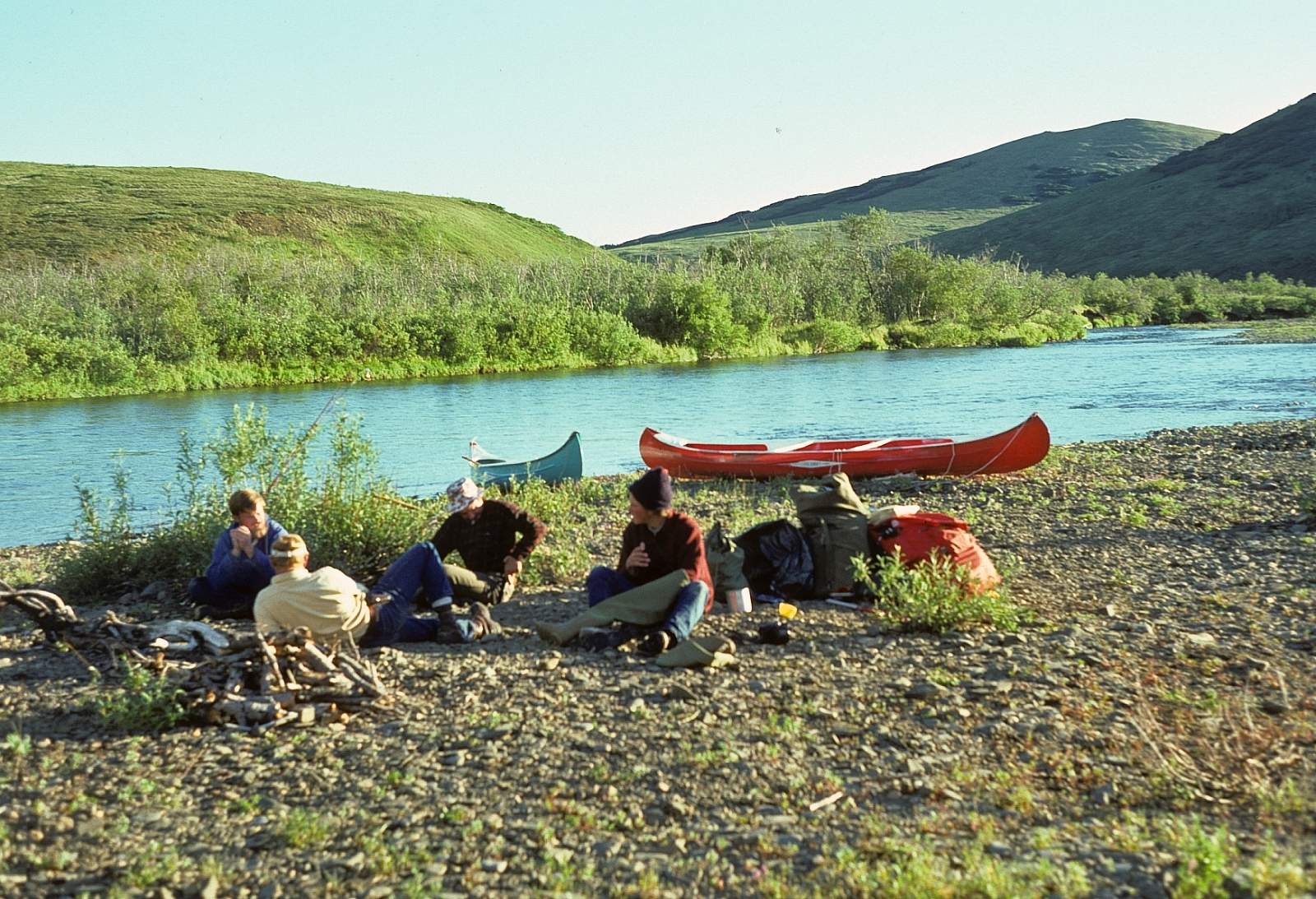
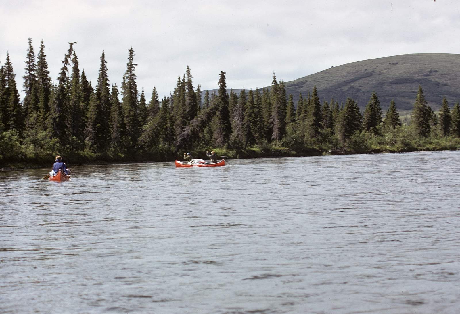
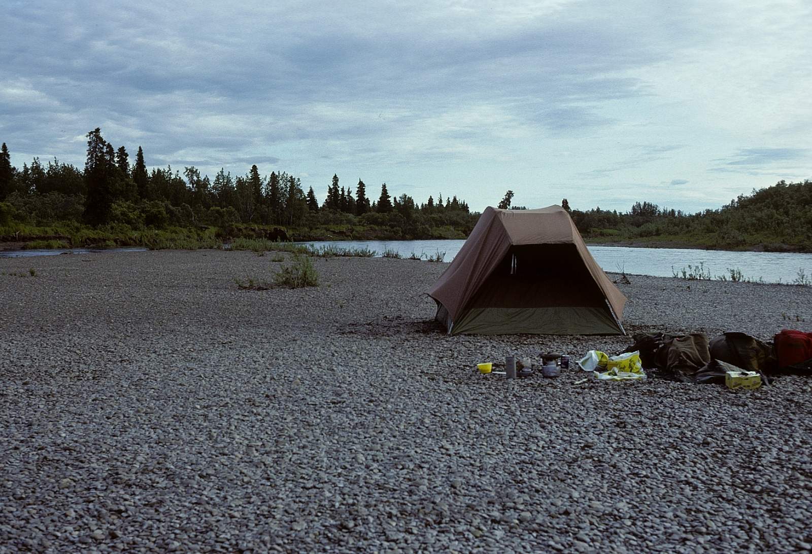
Why Float This River
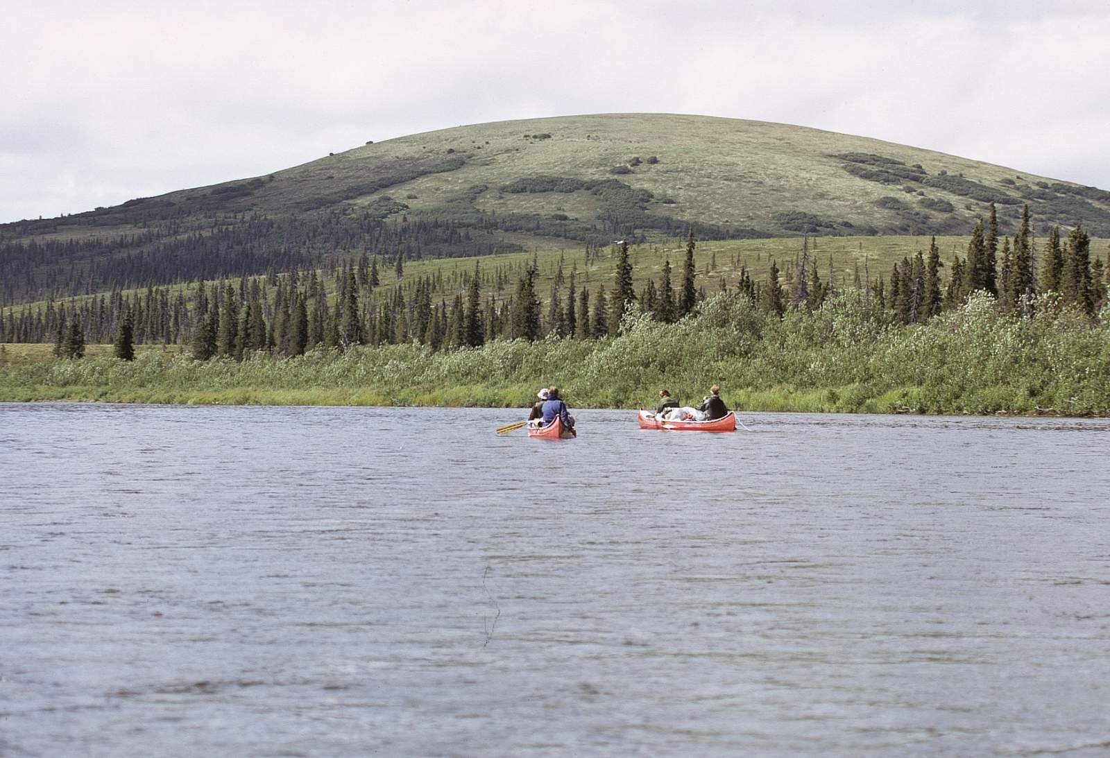
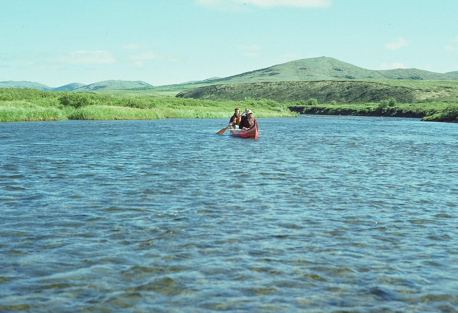
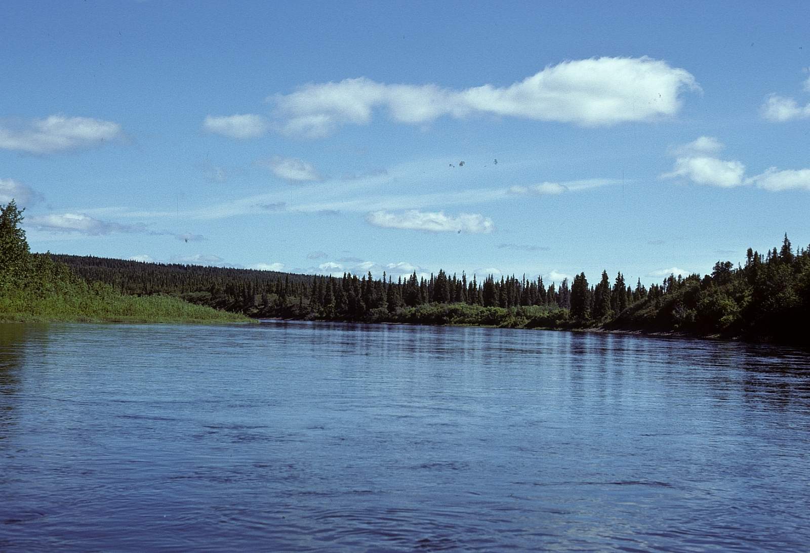
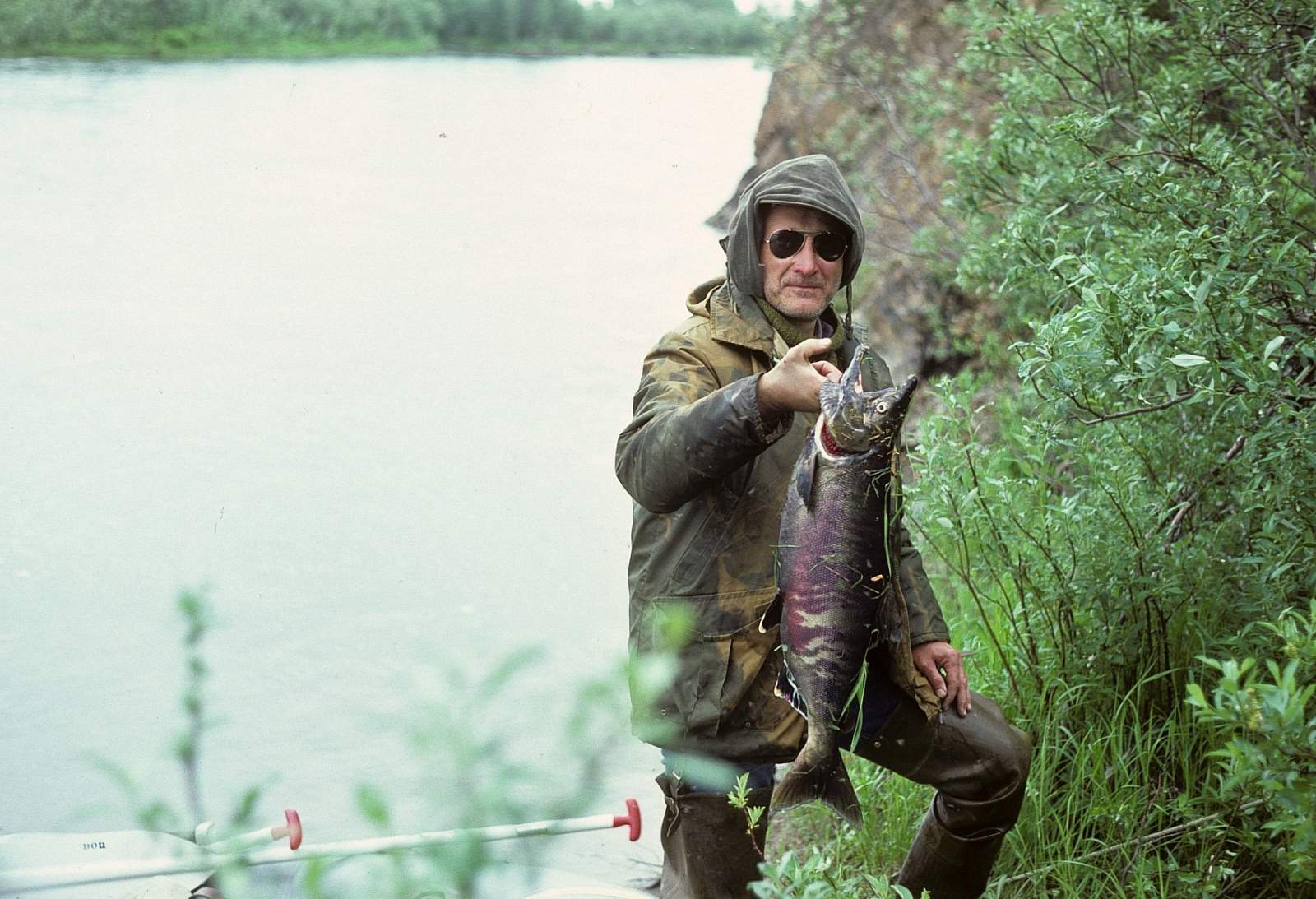
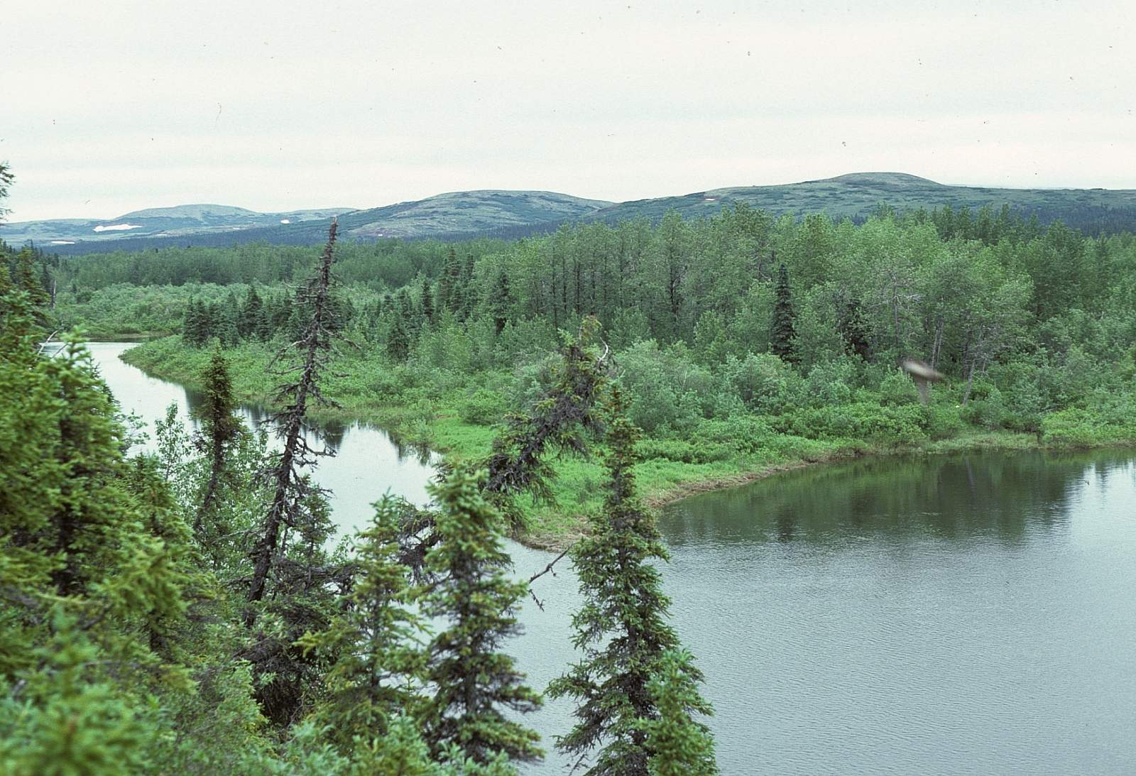
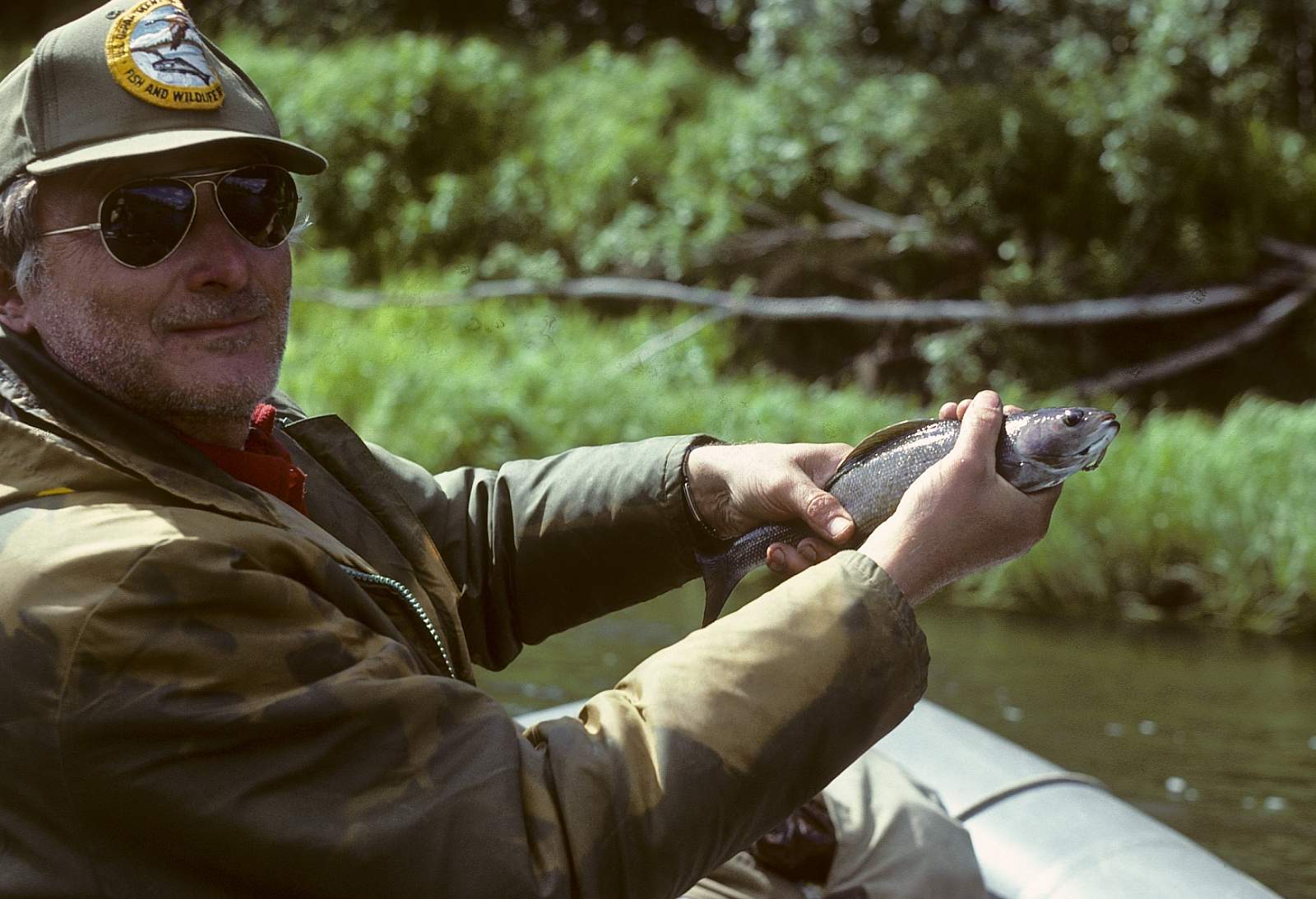
At the very western edge of Alaska's mountainous interior and adjacent to the giant delta region of the Yukon River is the little known, federally designated Wild and Scenic, Andreafsky River and its tributary, the East Fork River. Flowing south west away from the Nulato Hills, the Andreafsky River and its tributary the East Fork, run for 105 miles and 122 miles as clear streams flowing out of alpine tundra and into the spruce and birch forest within the Yukon Delta Wilderness. A nice time is 5 to 7 days for the float. This region is far removed from all but local native travel groups and a few fishing parties and is a pleasant Class I river trip that is most suited to inflatable kayaks, even though a small raft would do well. The East Fork has more trees and is closer to the mountains and the vegetation consists primarily of black and white spruce, balsam poplar, and extensive bogs. It is also one of only two known nesting areas for the rare Bristle-thighed Curlew, an upland wading bird.
Put In
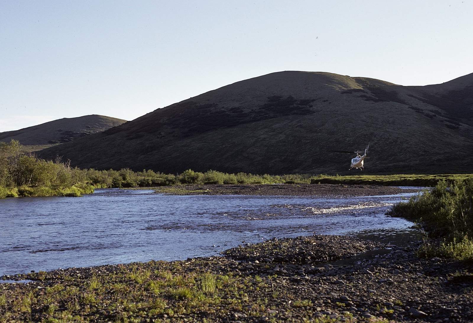
To get started on this river system you will need to get to Anchorage or Bethel, Alaska. From either place you can take a regular scheduled flight to St Mary's, the closest village to charter a Super Cub aircraft from. The upper reaches of both the Andreafsky and the East Fork are accessible to only small Super Cub airplanes and involves landing on a suitable gravel bar in the upper reaches of either river. You will need to have decided that the water level is enough for the boats that you have before you land.
Take Out
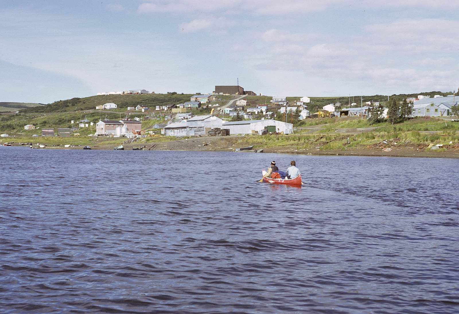
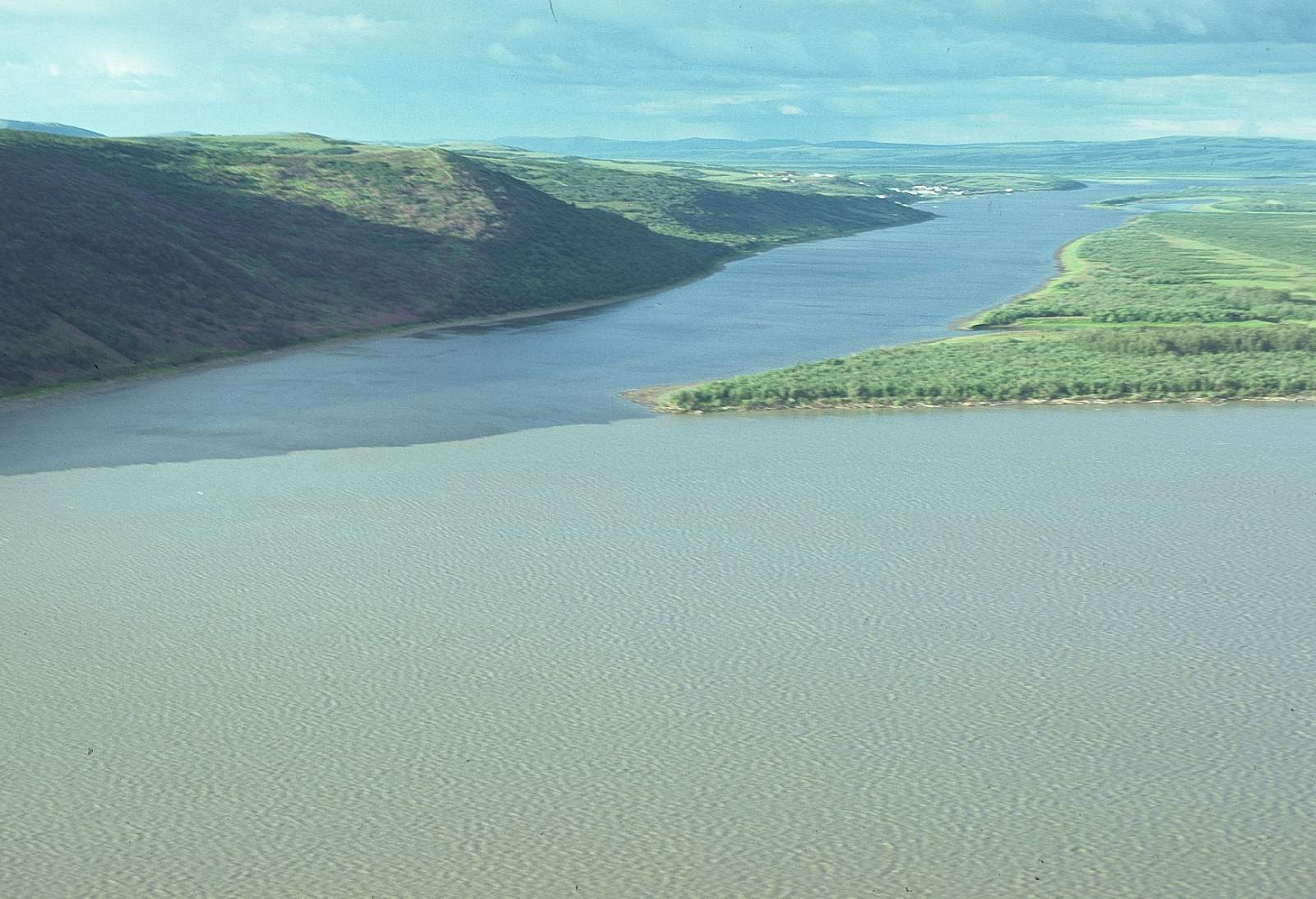
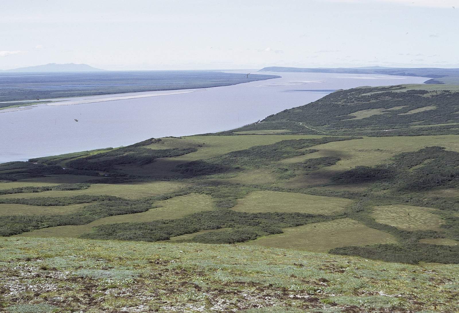
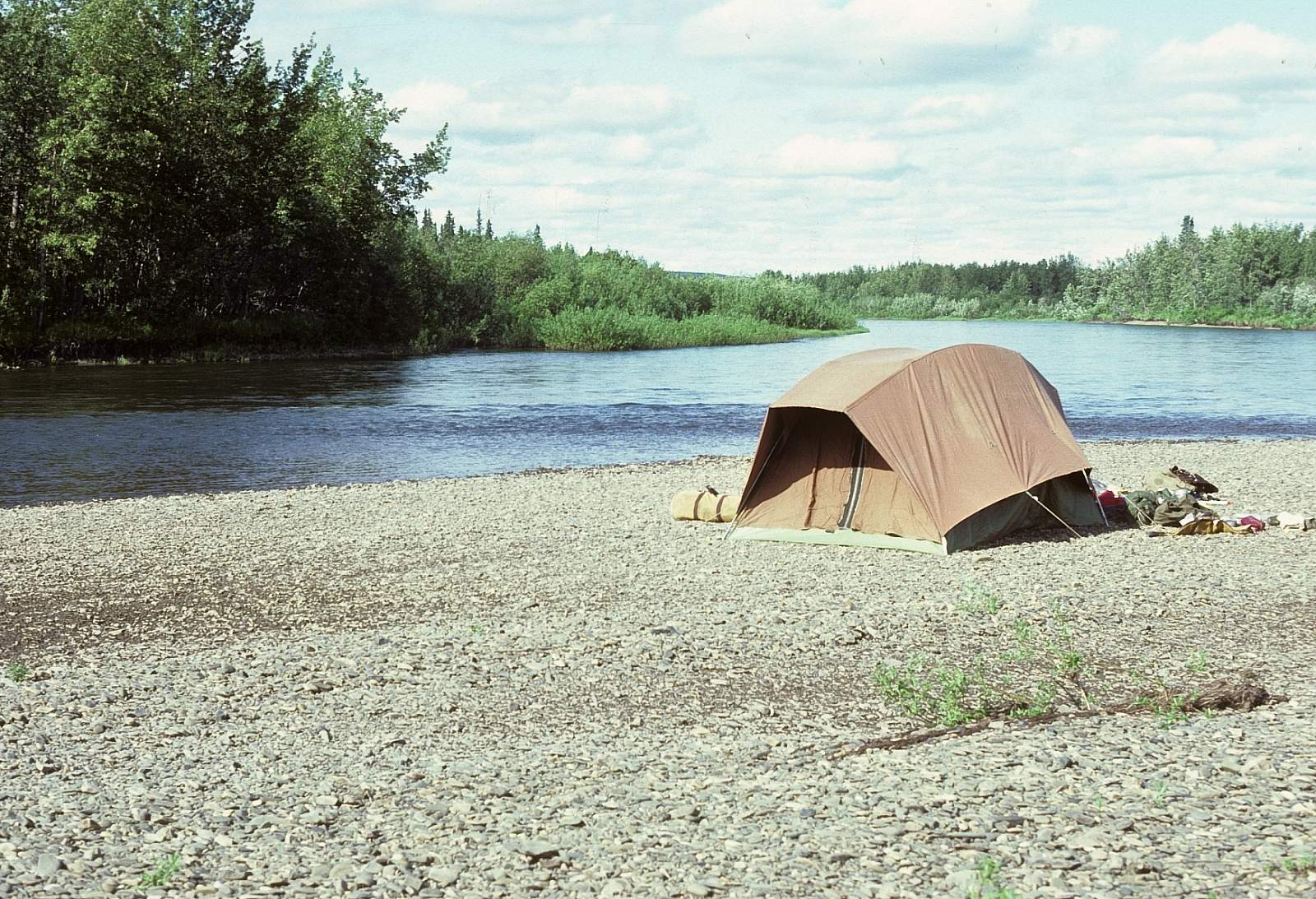
Take out is a simple process of floating all the way to the Village of St. Mary's where flights to Bethel or directly to Anchorage are easily prearranged. The village of St. Mary's lies on the west bank, 1.25 miles below where the main stem and the East Fork join.
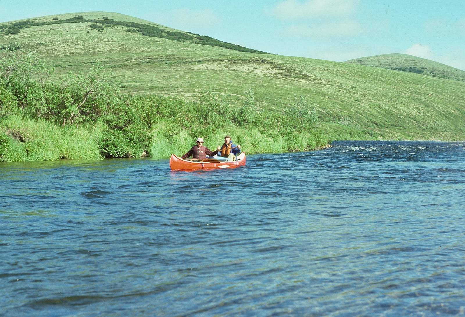
The Trip
Andreafsky Put In to St Mary’s: 105 miles
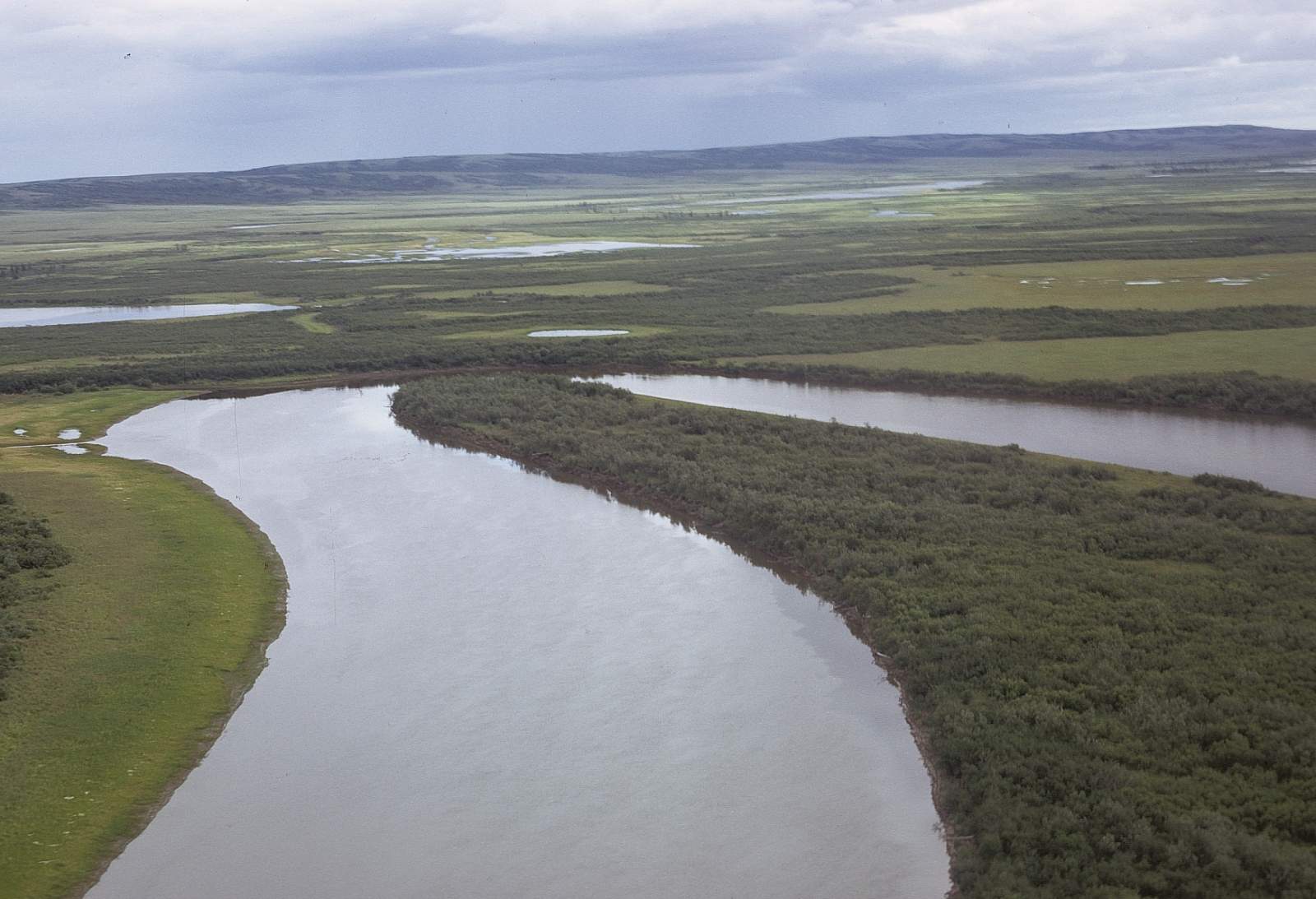
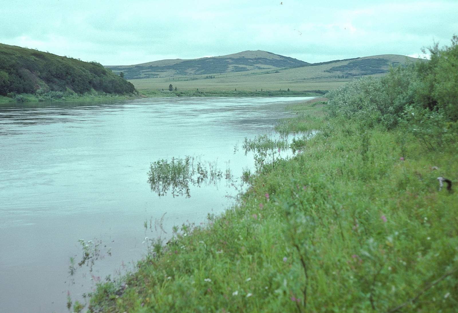
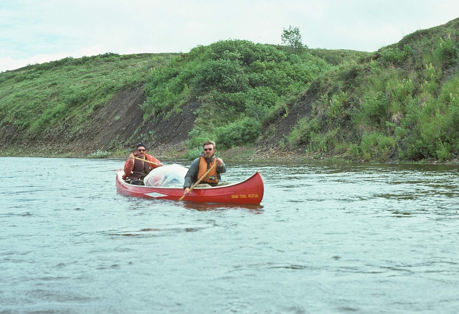
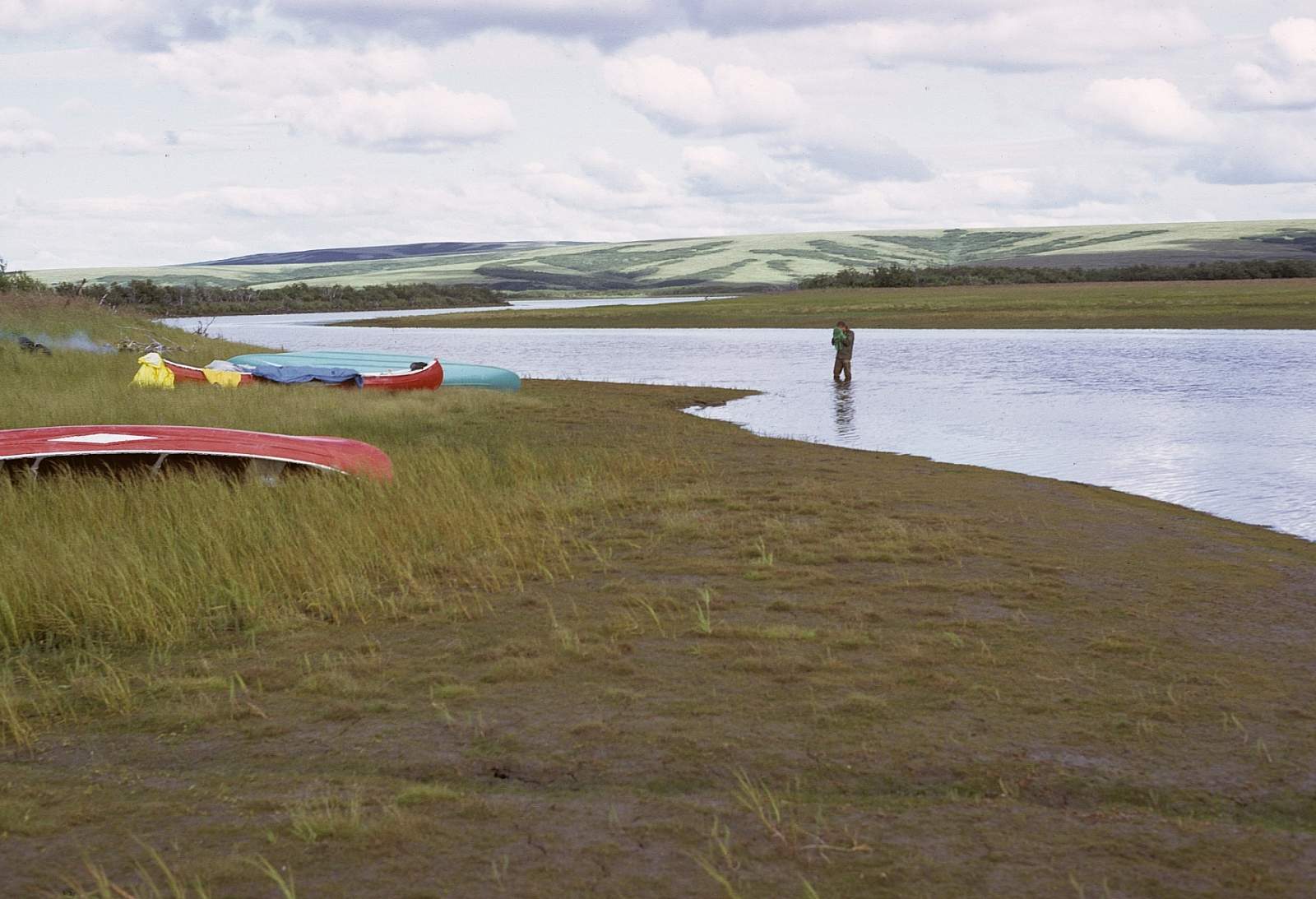
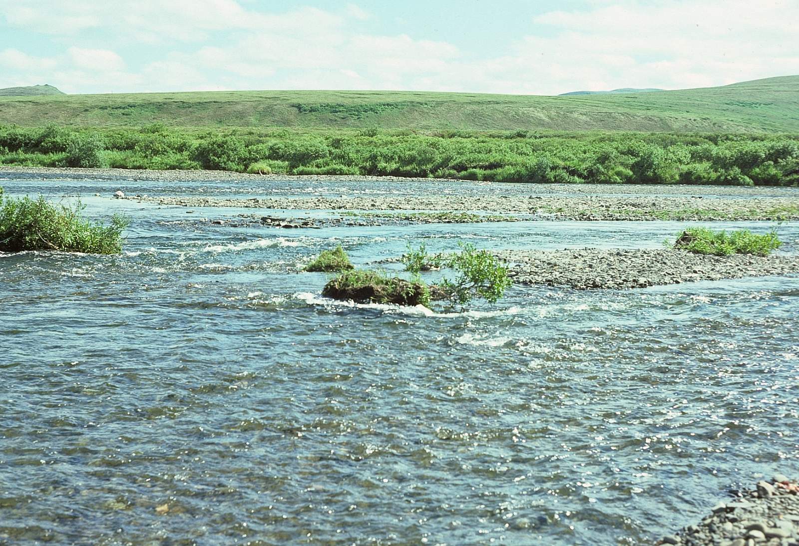
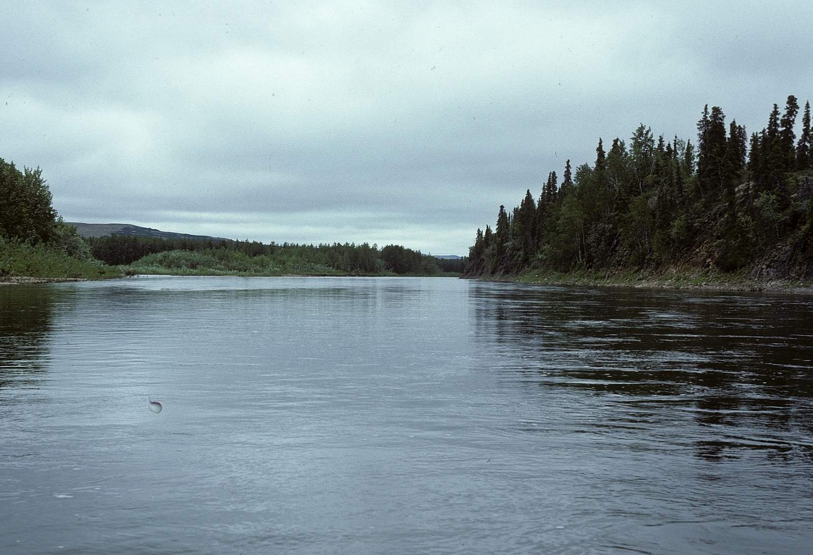
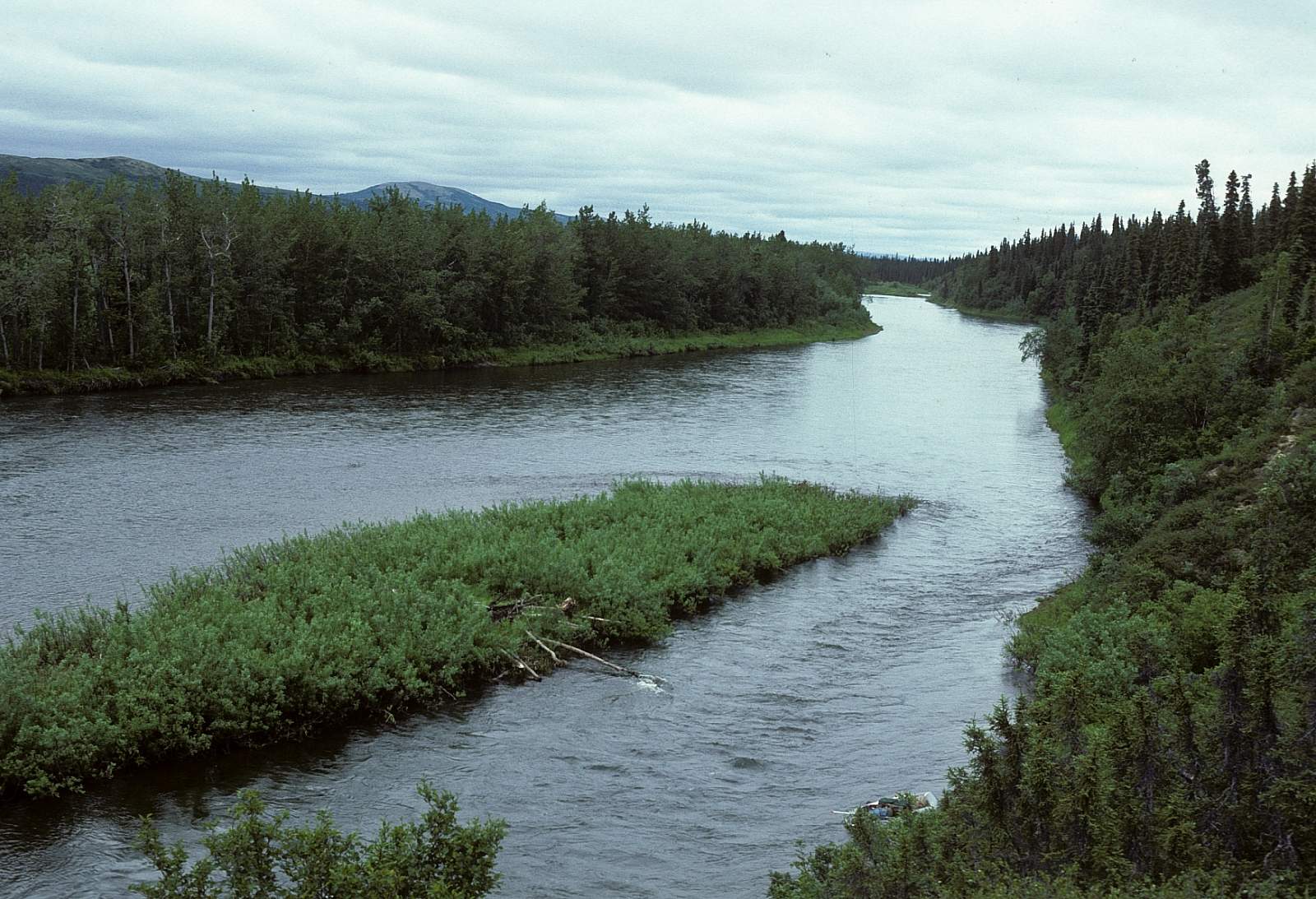
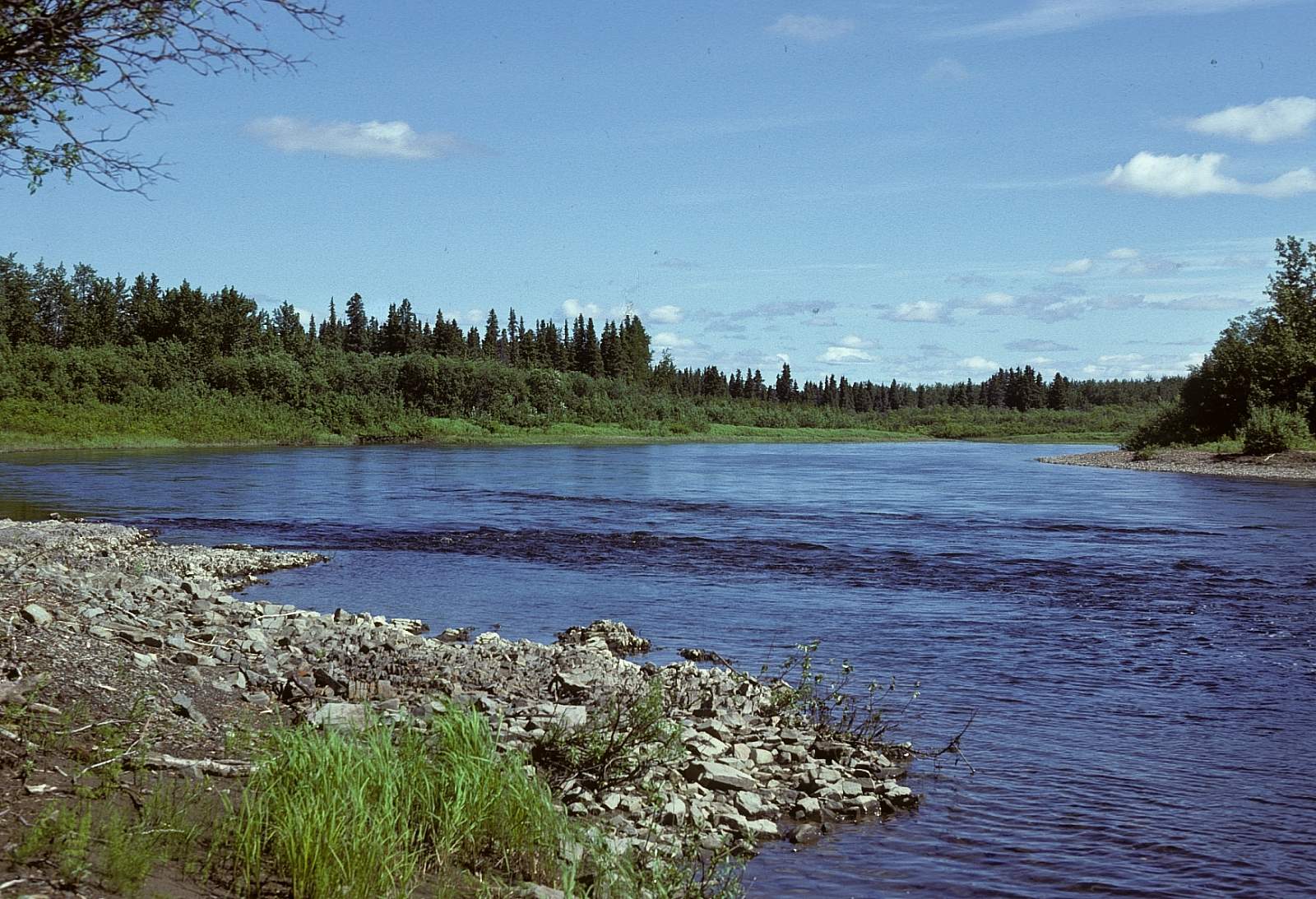
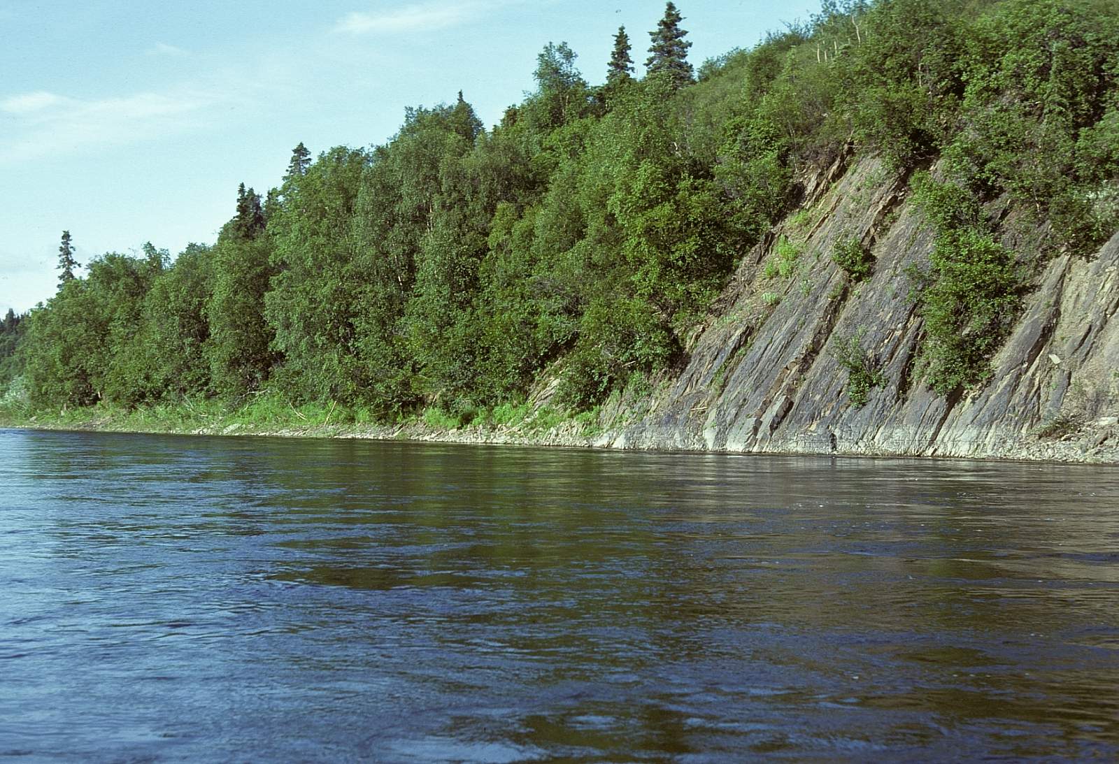
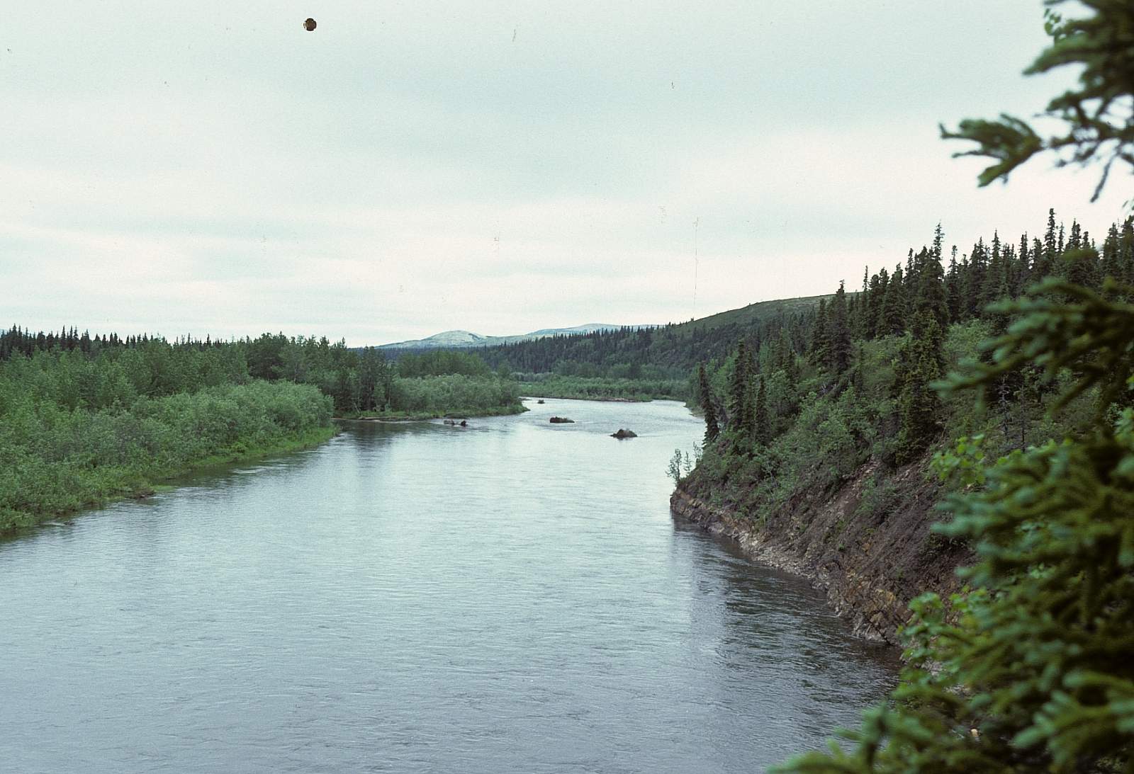
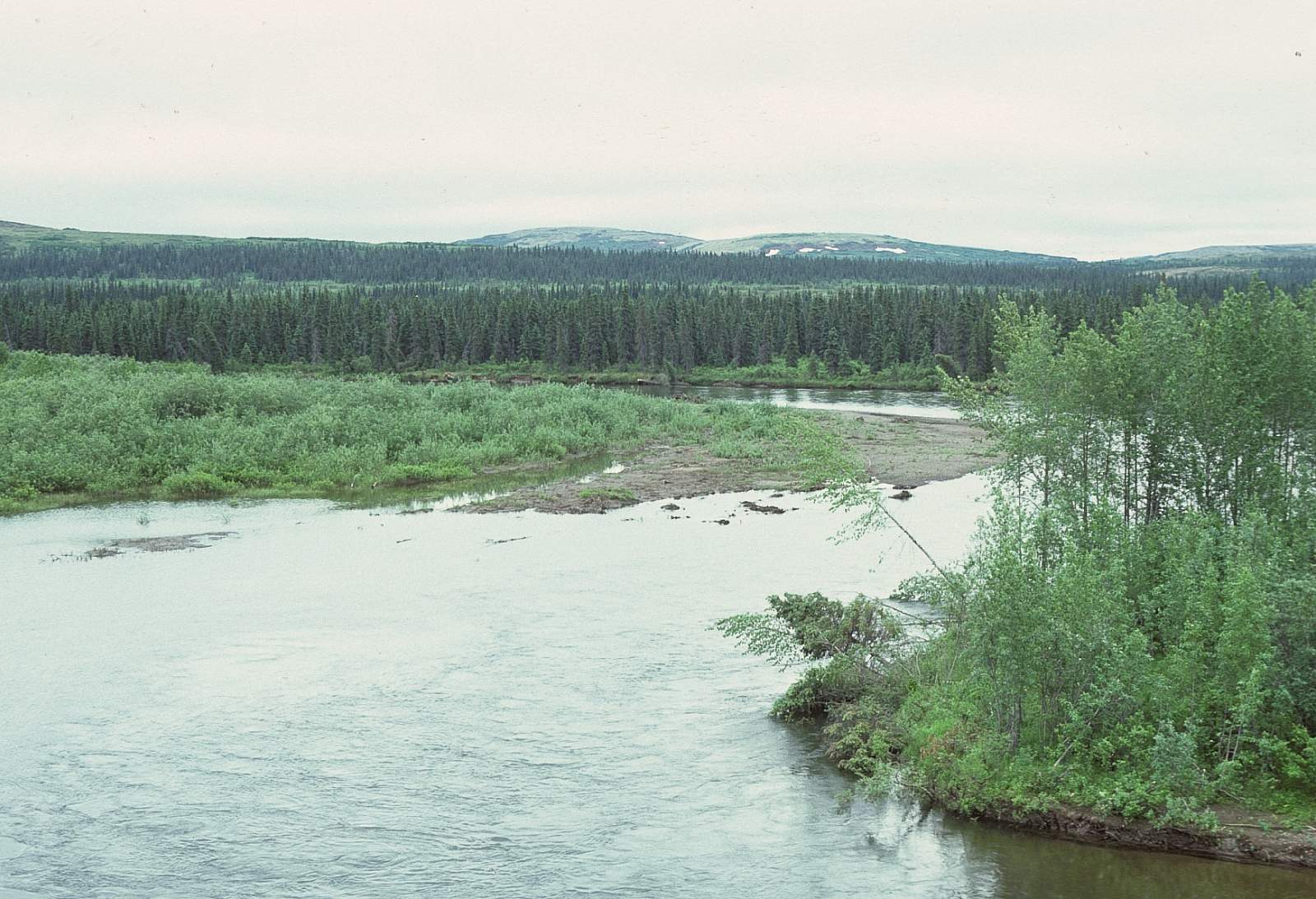
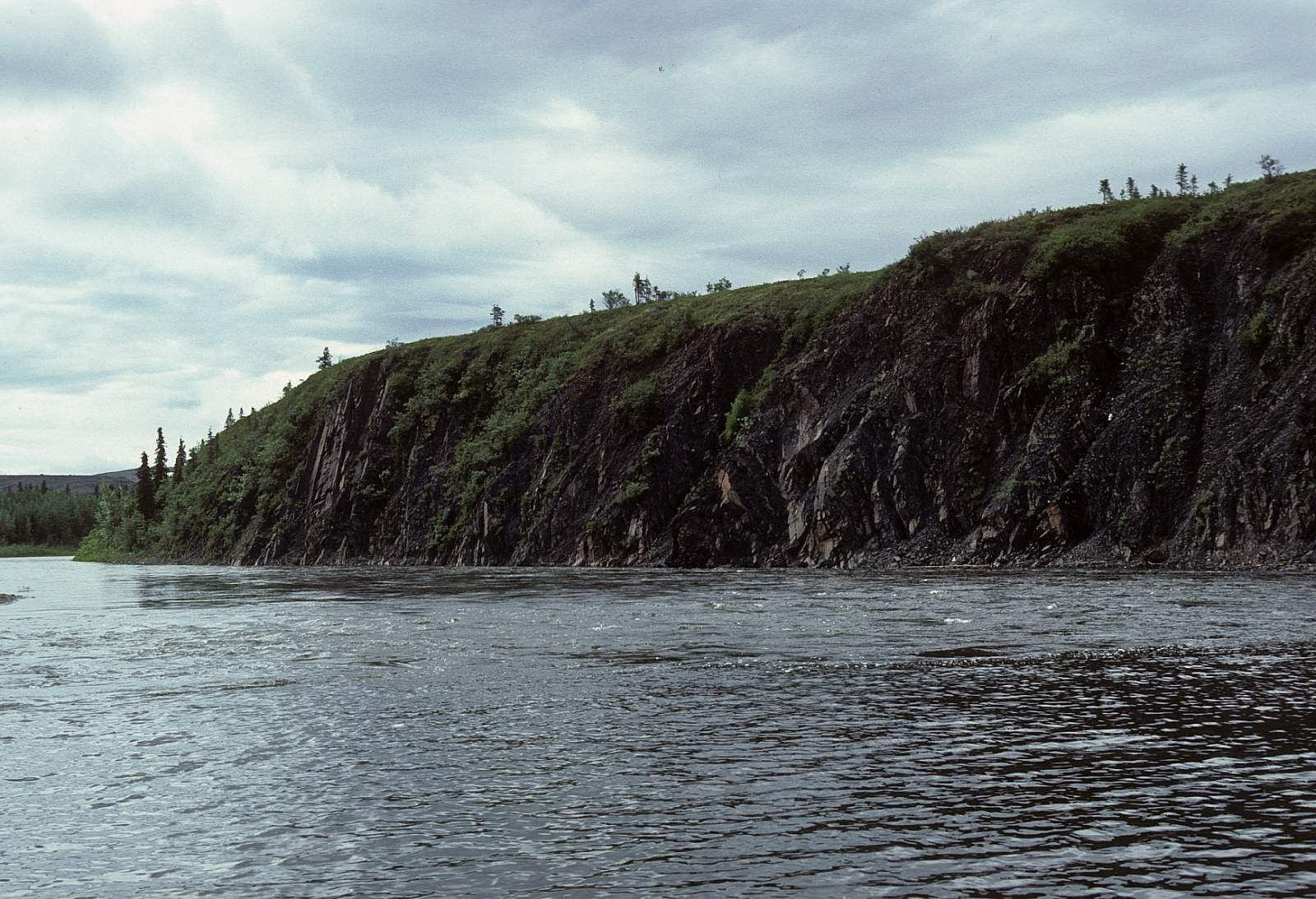
Where you start the trip is mostly dependent on who flies you in and what type of plane you use. There are no decent places in the headwaters region for planes larger than a Helicourrier or a Cessna Super Cub so your options depend on getting the right plane to reach the upper reaches. The upper river sits just south of Iprugalet Mountain in a land of rolling hills, the last bastion before the Bering Sea coastal plains and Yukon delta plains to the west and south. It flows southwesterly along much of its course, starting in the low mountainous alpine tundra with a 2 to 4 mph current and low water levels for the upper 25 miles. To the set of the river are good dry alpine ridges to hike, with almost 900 feet of elevation gain possible. The river has places where the water depth is as little as 6 inches and places where it is 3 feet deep. There are no trees in this upper section. There are few gravel bars but the occasional brushy island with channel splits to negotiate. Below the big confluence of tributaries around Allen Creek the river begins to meander its way along. Both Mosquitos and White Sox are pesky in here. The lower part of the river is dense spruce and poplar forest and represents the most western edge of wooded country. The final section of river is sluggish as you approach the confluence with the East Fork. The take out is along the right side of the river 1.25 miles below the East Fork confluence.
East Fork Put In to St. Mary’s: 122 miles
The East Fork headwaters are similar to the Andreafsky and there is never a sure place where you can land and how far up you can access by plane. A Super Cub out of St Mary's is the most likely option and the pilots will know where they can land. The East Fork does have more mountainous terrain and it is closer to the river. It is slightly longer than the main stem but is no larger in water volume. Five to seven days would be an ideal float through this seldom seen region of land on the edge of the Bering Sea. The lower East Fork does seem to lose more current and at one point where it begins to empty out of the hills, the river does a huge, winding 360-degree bend where it then enters the boggiest of the river. Gravel bars are, again, scarce on the upper section and the river is mostly single channel, albeit a meandering one. Take out is the Village of St Mary's 1.25 miles below the confluence with the main stem. The last 5 to 8 miles of river can see the current reverse as The Yukon, when high, will back up into both of the river mouths and have a 2 mile an hour current upriver!
Other Advice
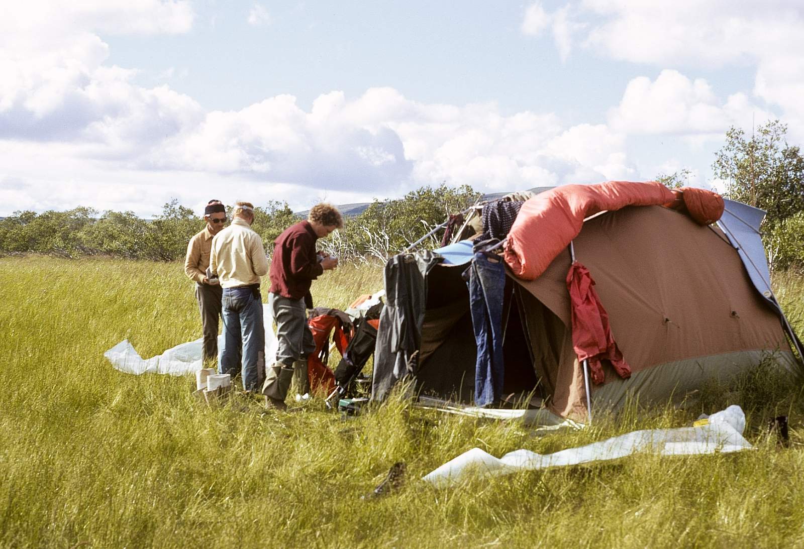
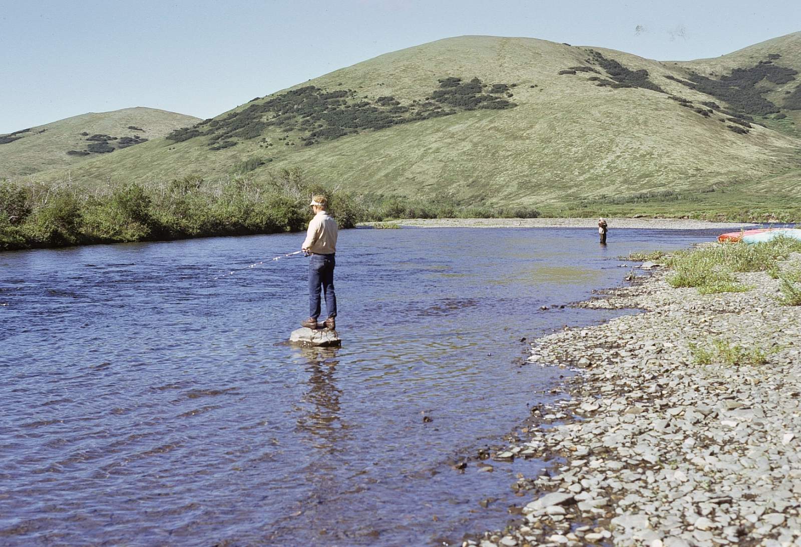
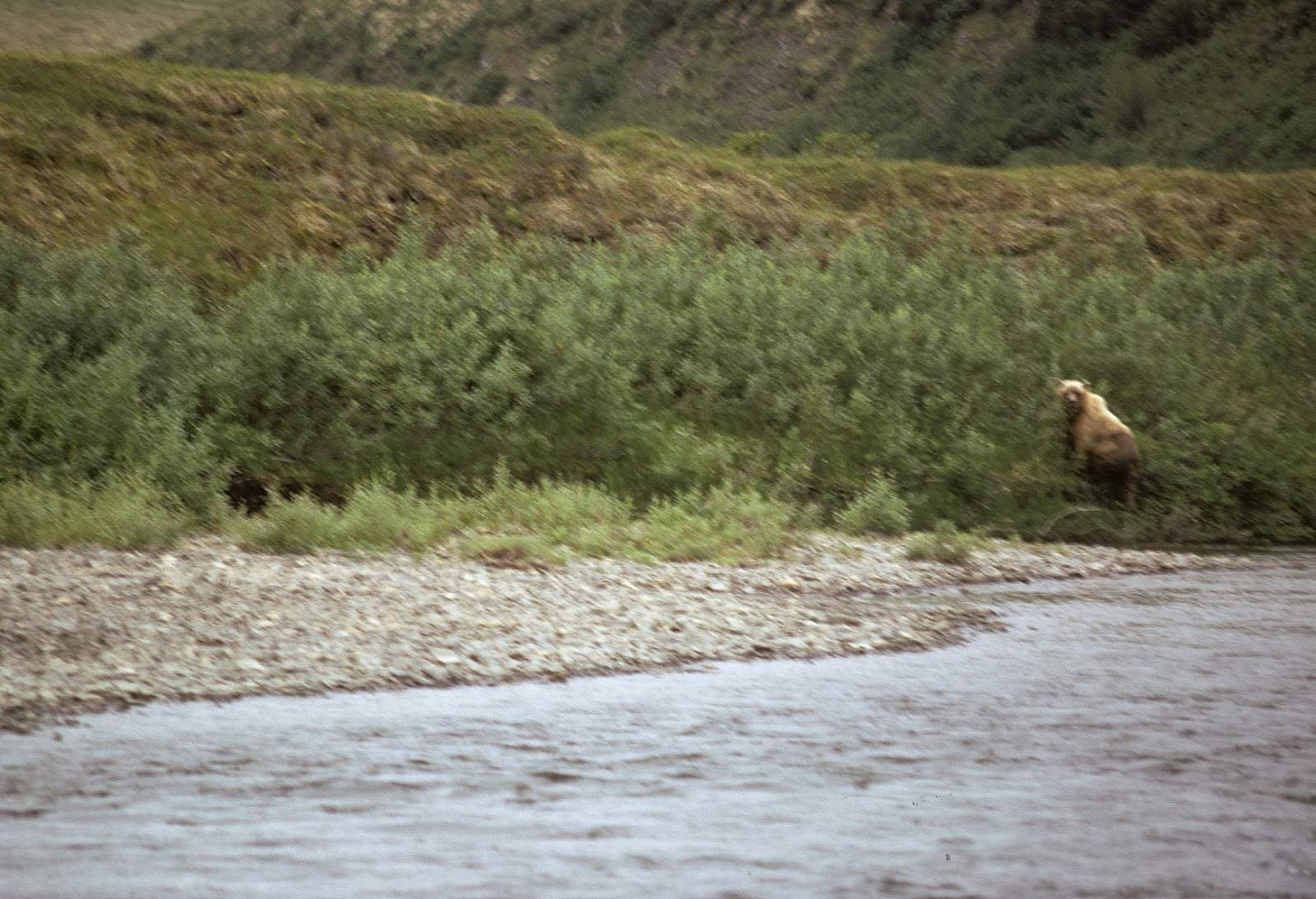
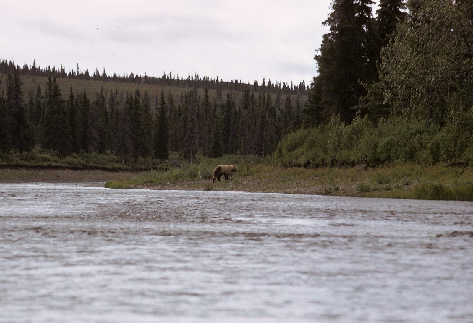
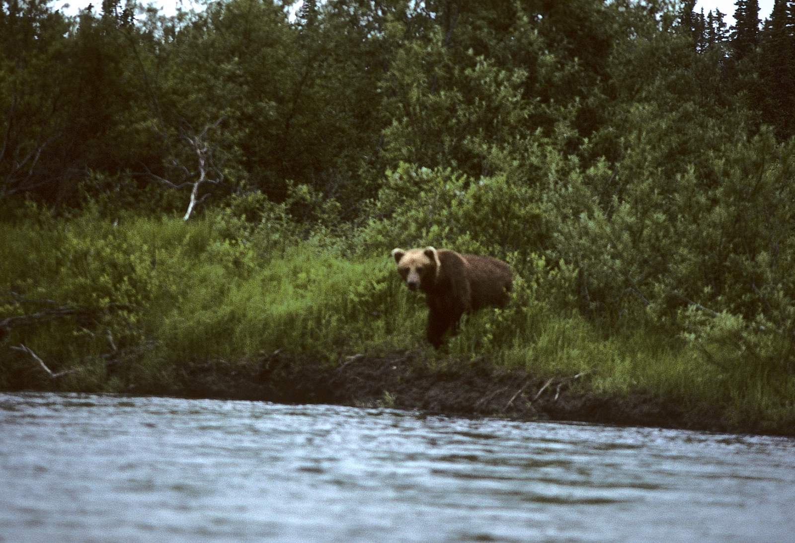
This region is heavy with bears and the river is filled with fish, so bear safety is a concept to remember.
There are numerous fish camps on the lower river and all properties should be left alone.
When the weather gets bad, it can get really bad, with strong winds creating whitecap river conditions. Always be ready for the Wind!
Andreafsky & East Fork River GPS Coordinates
Upper Reaches of the Andreafsky
The upper reaches are accessible to only small Super Cub airplanes and involve landing on a suitable gravel bar in the upper reaches of either river. You will need to have decided that the water level is enough for the boats that you have before you land. Put in option for Andreafsky River.
63.01323600, -162.04839700
Village of St. Mary's
Take out is a simple process of floating all the way to the Village of St. Mary's where flights to Bethel or directly to Anchorage are easily prearranged. The village of St. Mary's lies on the west bank, 1.25 miles below where the main stem and the East Fork join. Take out option for Andreafsky River.
62.05163300, -163.16728600
Upper Reaches of the East Fork River
The upper reaches are accessible to only small Super Cub airplanes and involve landing on a suitable gravel bar in the upper reaches of either river. You will need to have decided that the water level is enough for the boats that you have before you land. Put in option for Andreafsky River.
62.98549200, -161.67245900
USGS Maps
Unalakleet A-6
St. Michael A-1
Kwiglik A-2, A-3, B-1, B-2, C-1, C-2, D-1
Holy Cross C-6, D-6
Distance
105-122 miles
Days
5-7
Difficulty
Easy
Class
I
Craft
Kayak
Raft
Cost
$$$