Why Float This River
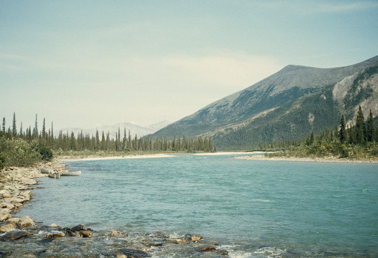
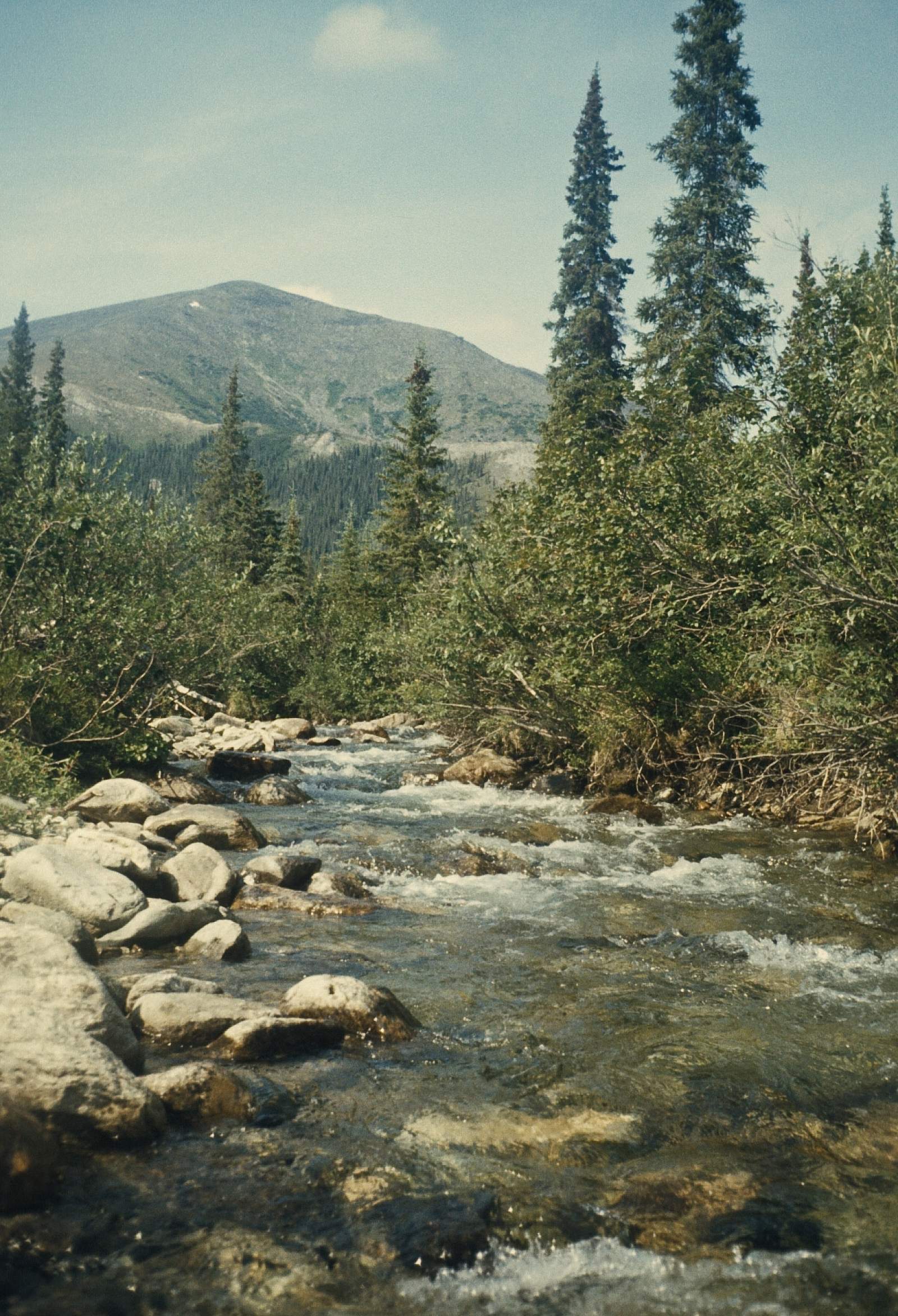
The Ambler River is a small, clear river with numerous small rocky rapids in its upper reaches and flows out of the Schwatka Mountains of the western Brooks Range. It has an 80-mile stretch of river to where it joins the Kobuk River near the town of Ambler with 15 miles of rocky rapids in a single channel at the start, 35 miles of braided channels in its heavily forested middle region and, finally, another 30 miles of single channel all the way to it's confluence with the much larger Kobuk River. The upper section actually has a 3-mile long canyon that is rather difficult at high water levels. It is a river with a good fish habitat and the Sheefish, a popular sport fishing species, is often caught along its length. The trip can be done in 6 to 8 days, which should allow for some leisurely days. The trip is most suited to kayaks and canoes.
Put In
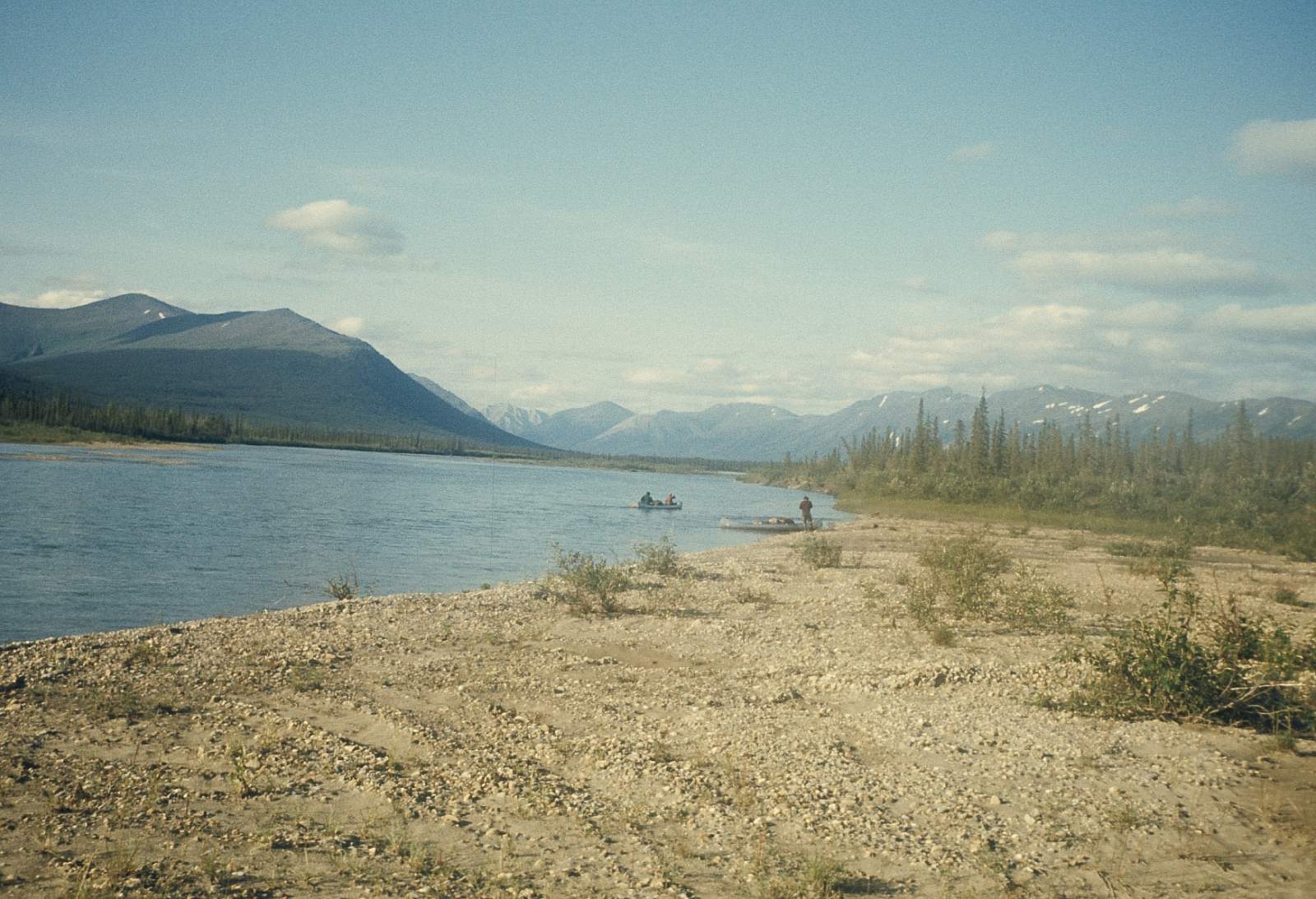
For the put in, there are flight operators out of Ambler that can land on the gravel bars at the headwaters, or at the confluence with the Ambler River and Ulaneak Creek. This second location is below the canyon and most of the rapids.
Take Out
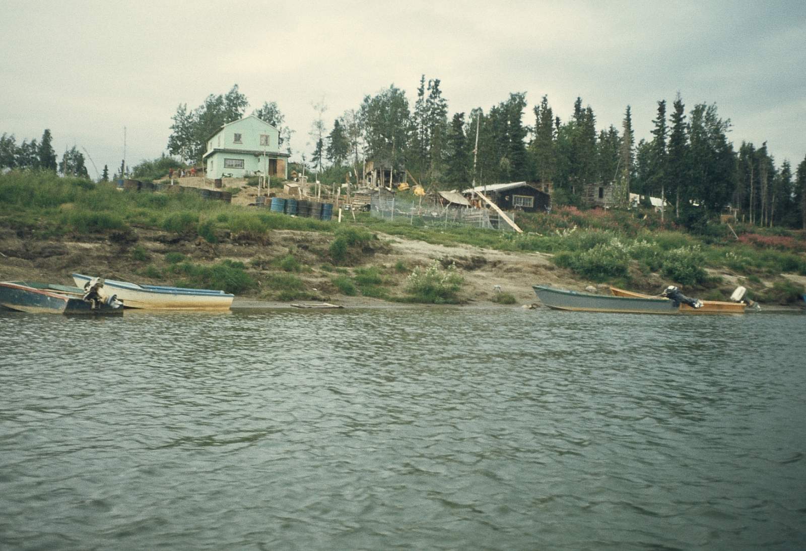
Take out has two options. The primary take out is at the town of Ambler, N67 degrees and 05 minutes by W 157 degrees and 51.5 minutes, where regular commercial flights operate. Ambler is a small town on river right at the confluence with the Kobuk River and can be reached in 6 to 8 days. The second option would be to continue onto the Kobuk River and float an additional 100 miles to the village of Kiana on river right.
The Trip
Headwaters to Ulaneak Creek: 15 miles
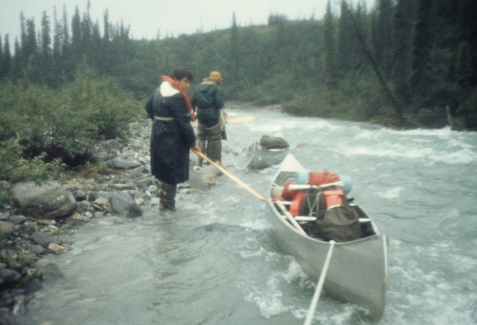
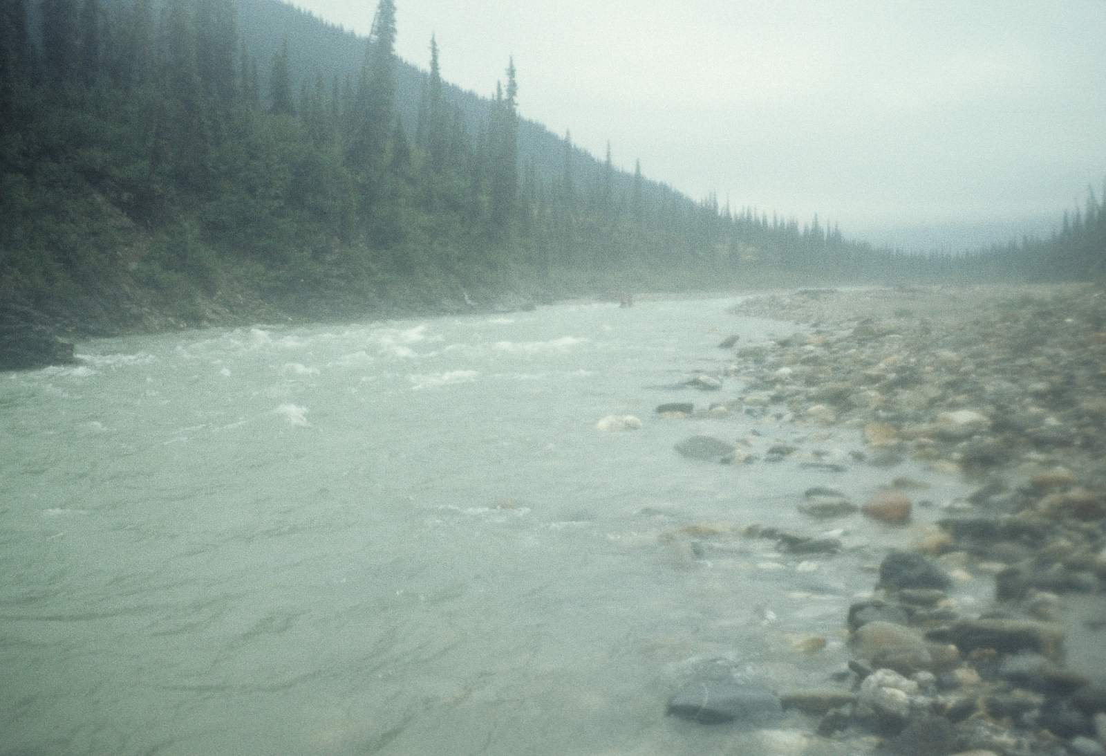
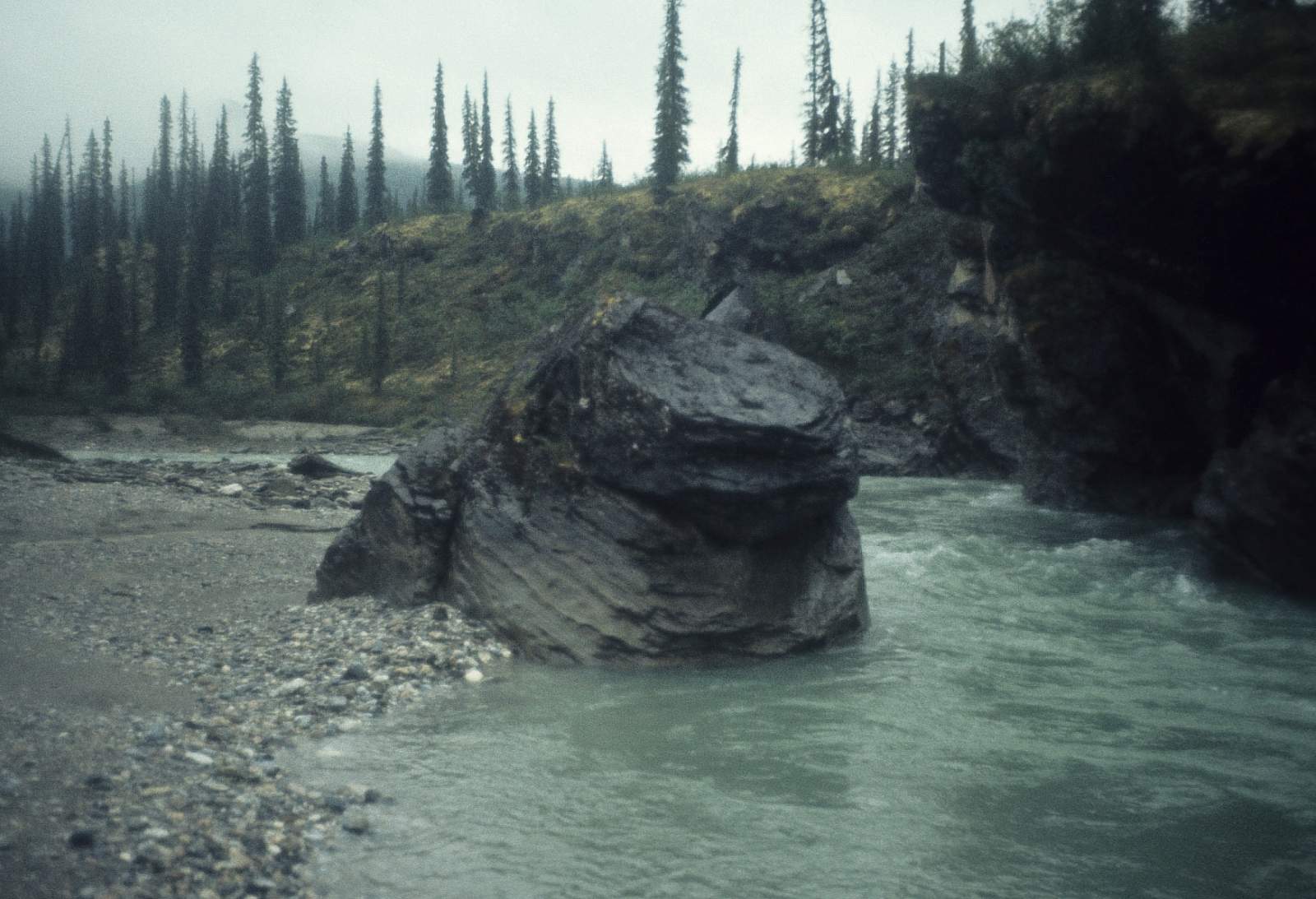
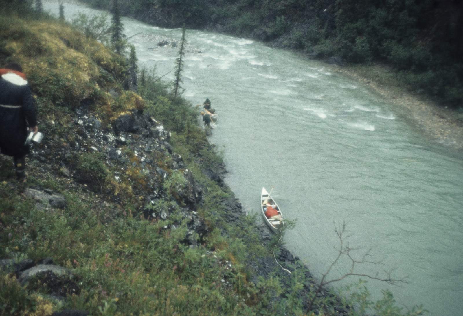
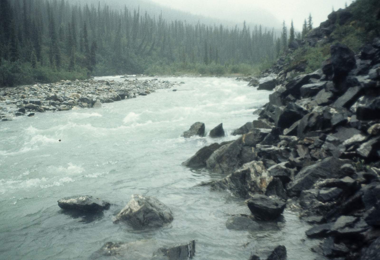
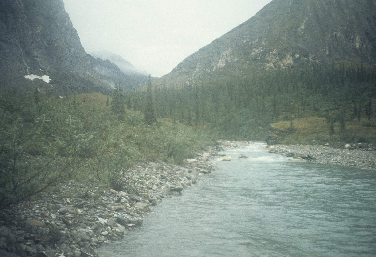
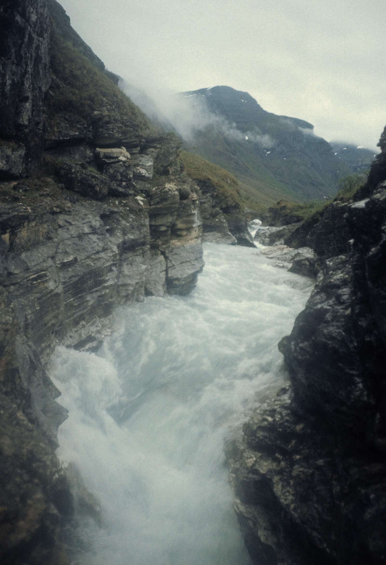
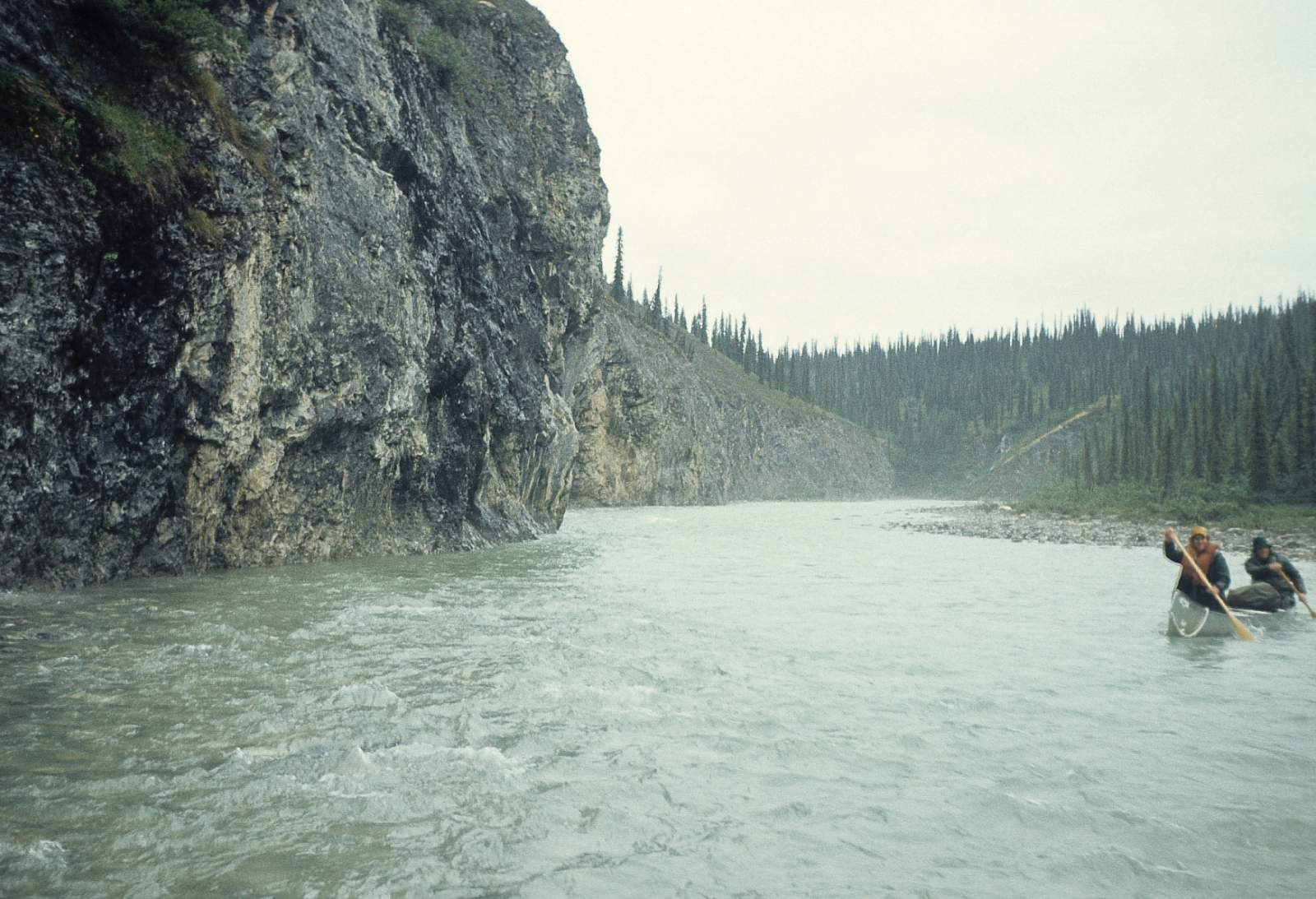
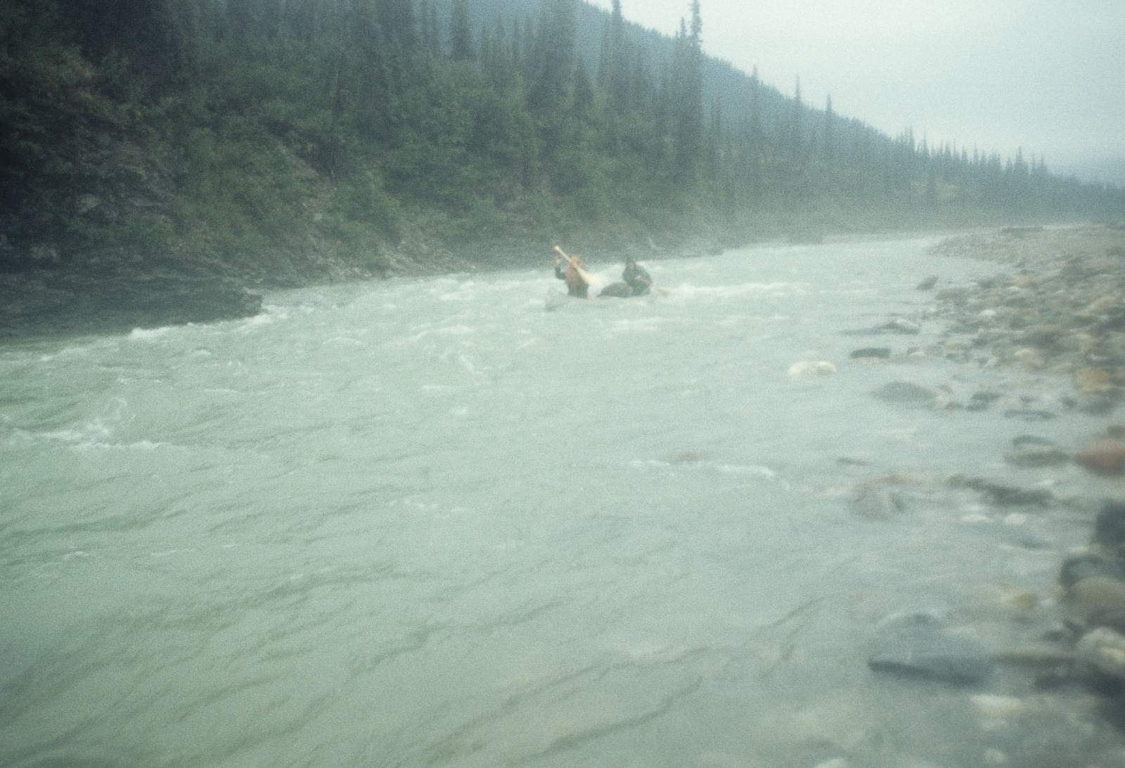
This is the very mountainous alpine tundra region and is a primitive and remote region rarely visited. Some of the best hiking is found here. It takes a Cessna Super Cub to land on the short gravel strip here and is available from the town of Ambler. After just a few miles the narrow canyon is reached and numerous Class II+ rapids are found here. Below the canyon is another 10 miles of swift flowing clear river with several places where rapids are encountered. The river is still confined within a steep valley and is particularly steep along the right side of the river. After 15 miles, Ulaneak Creek comes in from the left side of the river and it is here that a gravel strip is accessible to a Super Cub.
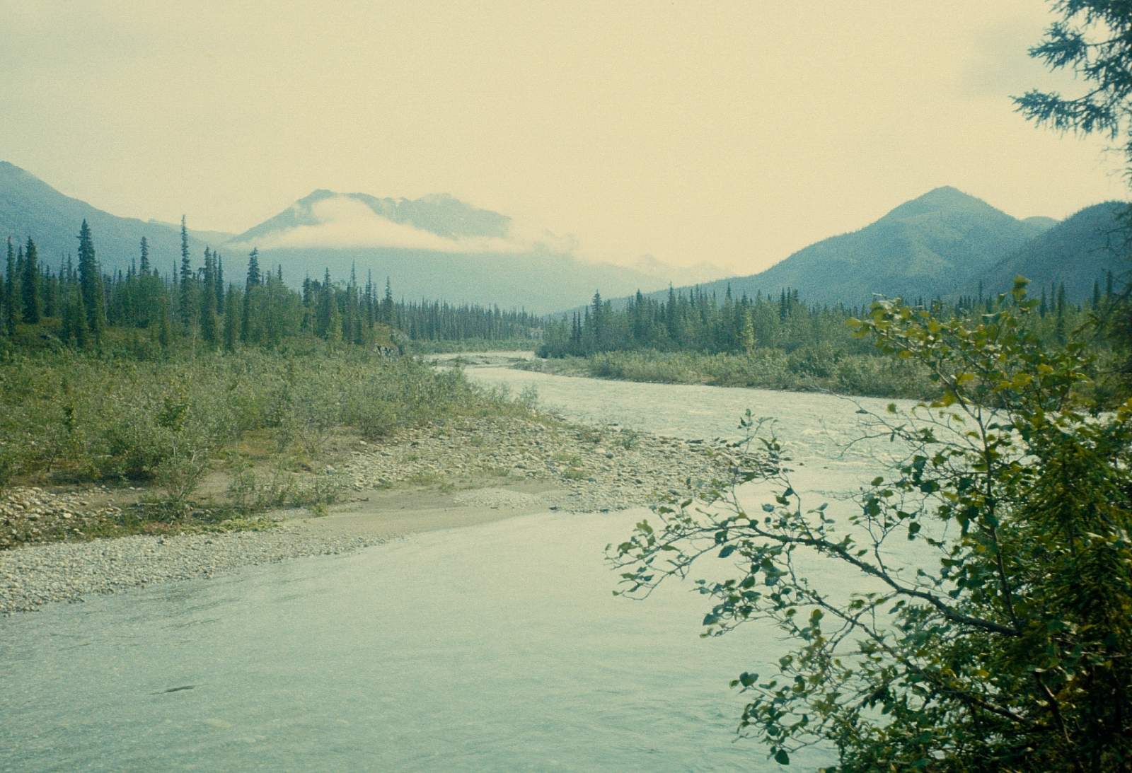
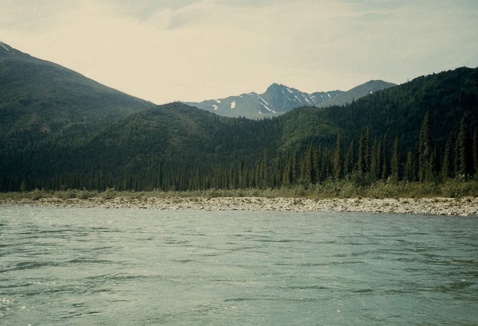
Ulaneak Creek to Ambler: 60 miles
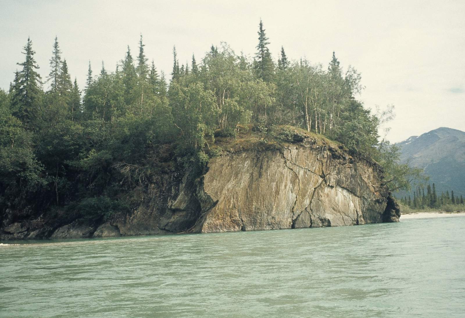
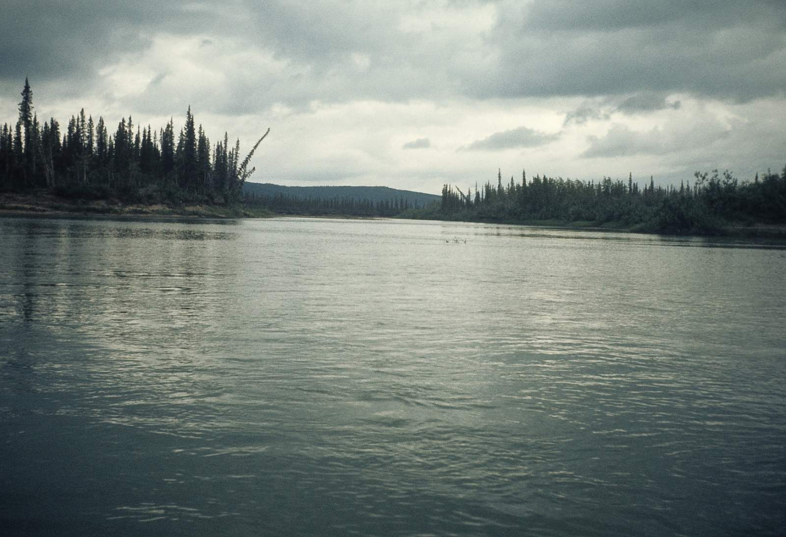
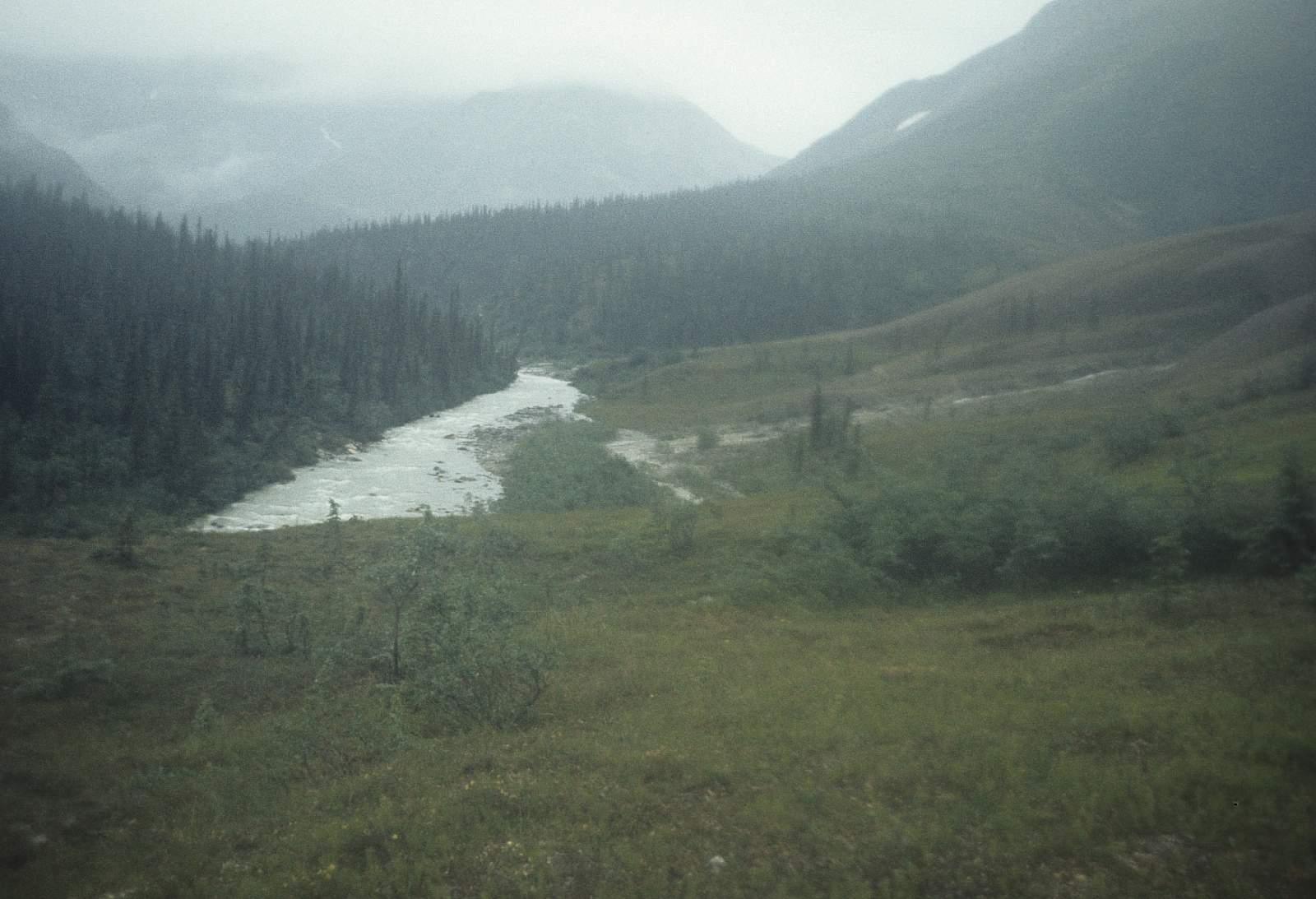
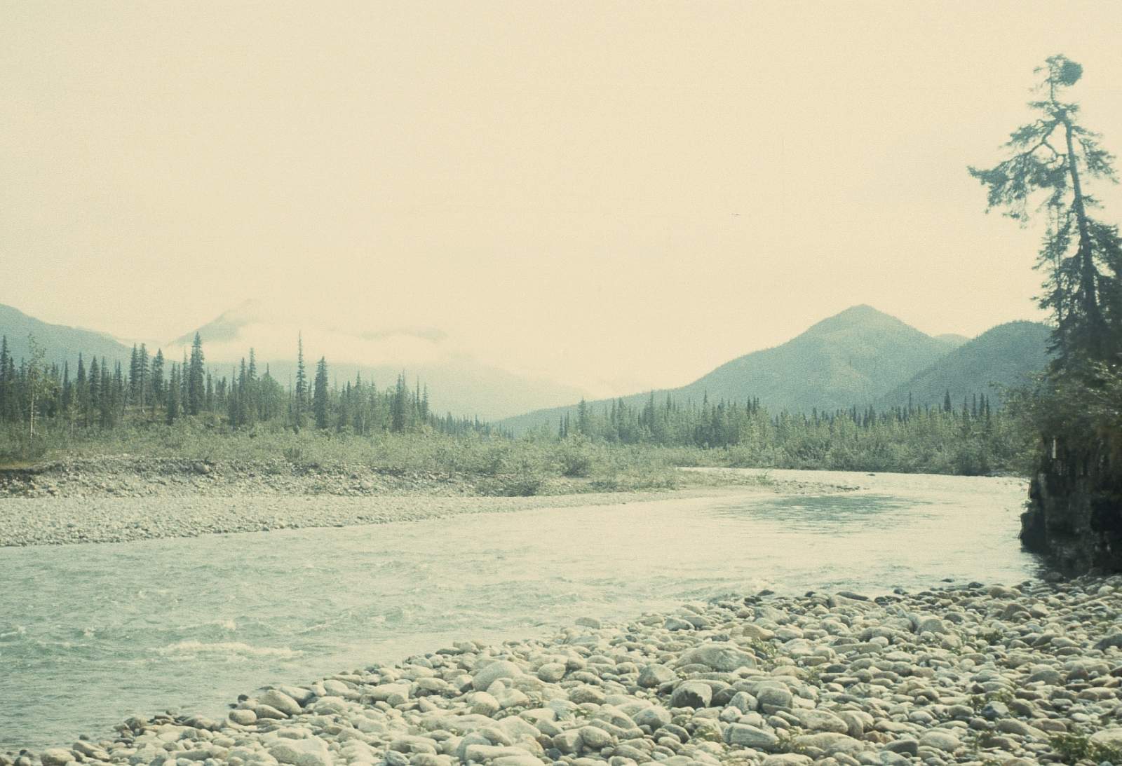
From its confluence with Ulaneak Creek, the Ambler River runs through a deeply forested valley with the river braided and shallow with several channels to choose from at times. After about 30 miles the river braids end and Lake Anirak lies a short distance to the south on the left side of the river. From this point on the river is a single deep channel and for 35 miles it moves along at a slow pace. The vista opens up and numerous lakes fill the wide valley. Soon the Redstone River will enter from river right and you are within 7 or 8 miles of the take out in Ambler. Stay right as you approach the big Kobuk River and look for the boat landing along the right bank of the Kobuk River.
Ambler to Kiana: 100 miles
For those wanting more you can continue the extra 100 miles along the Kobuk River through the Kobuk Valley National Park to the village of Kiana. Along the way you will want to visit the Great Kobuk Sand Dunes along the left side of the river after the Akillik River confluence. They are about 2 miles from the river and constitute the largest active sand dunes in the arctic latitudes, covering 25 square miles. The river has a moderate paced flow and Class I in nature. Watch out for speeding powerboats along here as most village-to-village travel happens on the river in summer. Kiana is on the right side of the river just after the confluence with the Squirrel River at N 66 degrees and 58.3 minutes by W 160 degrees and 25.8 minutes.
Ambler River Points
Kiana
Float an additional 100 miles to the village of Kiana on river right. Take out option for Ambler River.
67.08333300, -157.85138900
Kiana
From here you can catch a commercial flight back to Kotzebue or perhaps on to Fairbanks, depending on the airline's schedules. Take out option for Squirrel River.
66.97109200, -160.42769200
Kiana
After 45 miles the Squirrel River confluence is seen on river right and this marks your spot to get along the right shore, as Kiana is only a couple miles further down. The airstrip is back away from the river but there are locals who will offer to help you move your gear to where it is. Check at the local store for assistance and offer to pay someone 20 bucks to use their 4-wheeler. Take out option for Salmon River.
66.97099100, -160.42803500
Kiana
From here, charter a flight back to Fairbanks. Take out option for Kobuk River.
66.97082300, -160.42833600
Ambler River & Ulaneak Creek Confluence
It takes a Cessna Super Cub to land on the short gravel strip here and is available from the town of Ambler. Put in option for Ambler River.
67.46203000, -156.86771400
Ambler
Ambler is a small town on river right at the confluence with the Kobuk River. Take out option for Ambler River.
67.08628800, -157.85141900
USGS Maps
Ambler River A-2, A-3, A-4, B-2, C-2
Distance
75-175 miles
Days
6-8
Difficulty
Easy
Class
II
Craft
Canoe
Kayak
Cost
$$$