Why Take This Hike
If you only have a limited amount of time in Anchorage but want go out for a great hike, consider Kincaid Bluff Trail. Just a 20-minute drive from downtown Anchorage, this is a 6-mile loop hike to Kincaid Chalet. Along the way, you’ll find 3 miles of rugged trail that skirt the summit of precipitous bluffs at the end of the Anchorage Peninsula.
The Details
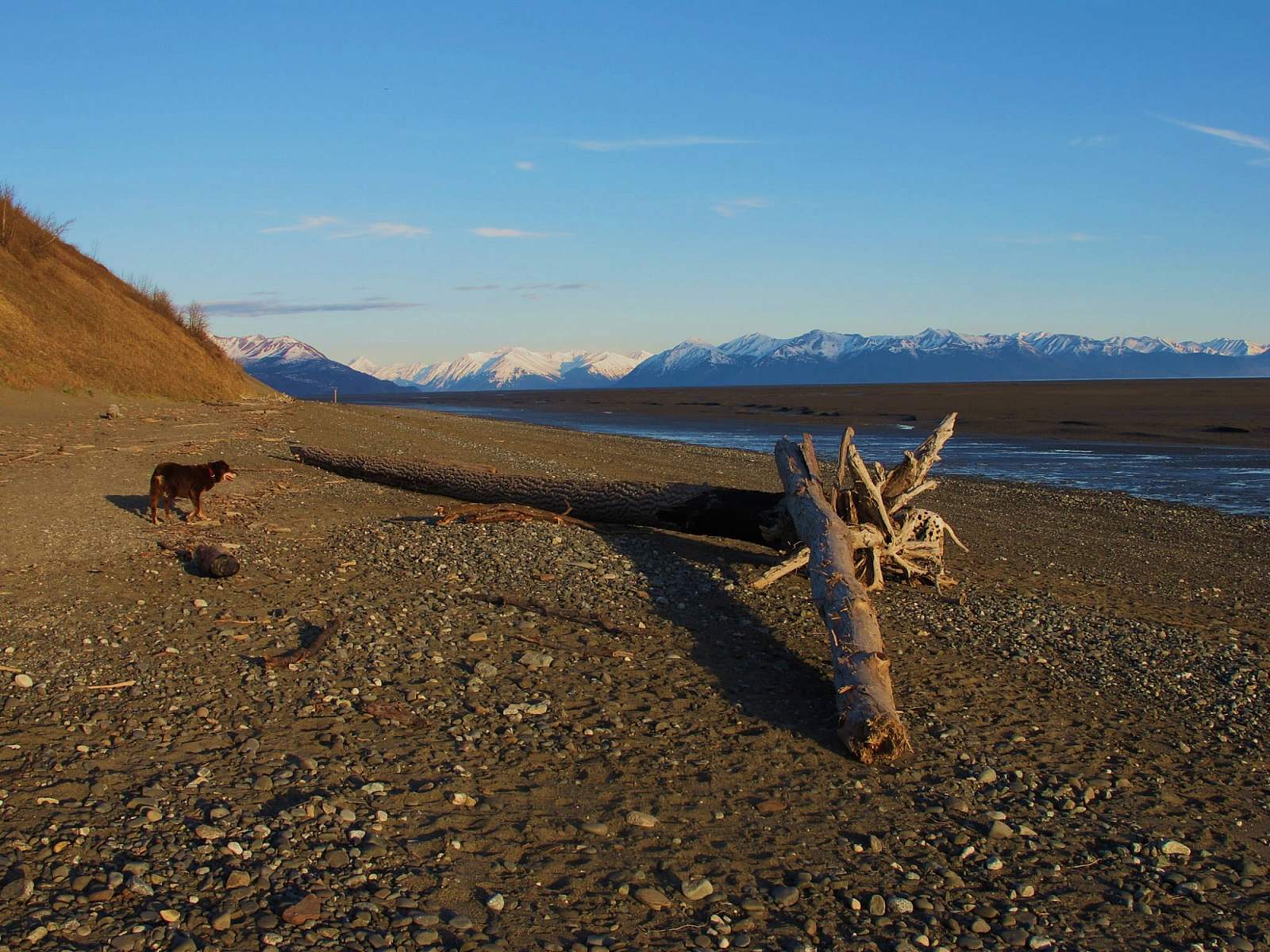
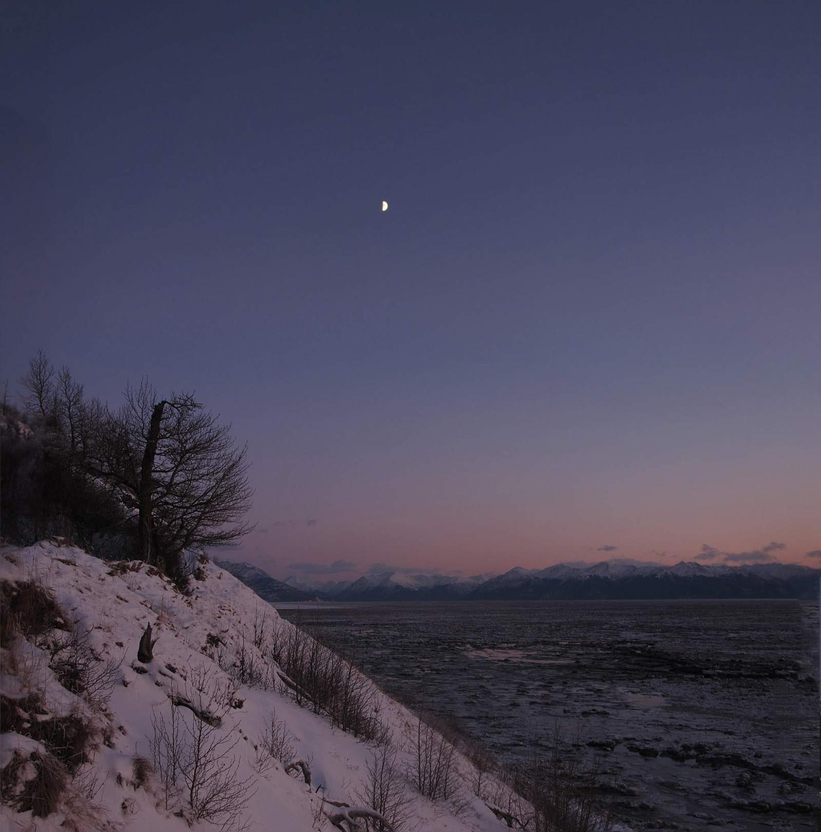
Begin this loop by hiking 1 mile down Tony Knowles Coastal Trail from Kincaid Chalet. Here you may encounter moose and black bear—reminders of how wild Anchorage remains. When the trail bears right along the coast, look for a dirt trail leading into the trees on the left. Along the way, the views out across Knik Arm and the Alaska Range further remind you of how isolated Anchorage remains—a major city “right next door to Alaska,” as John McPhee so aptly wrote.
This dirt trail will seem tame until the point where the roped main trail drops down a rut to the beach. Pass under the guide rope on the left and begin a steep climb up the edge of a grassy bluff.
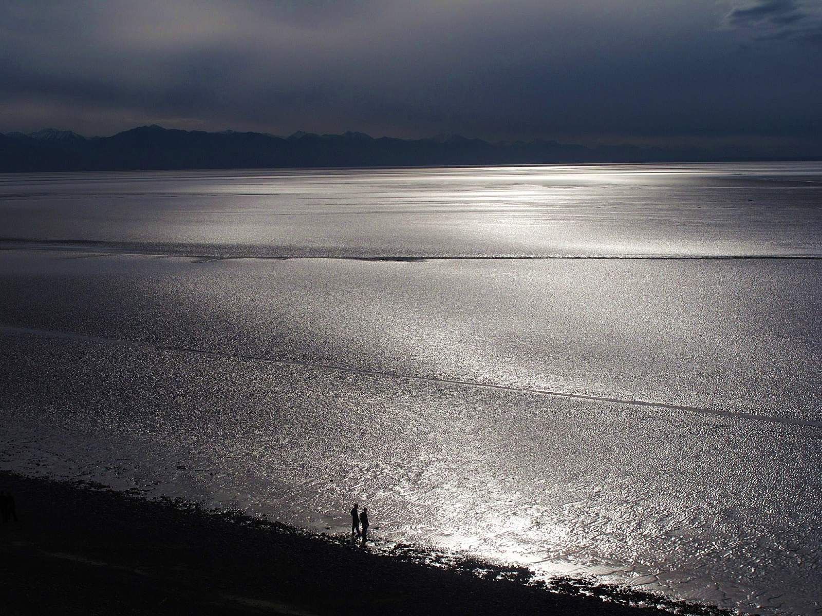
You may find it a bit unnerving because of the precipitous drop off to the right, but this section doesn’t last long. After climbing two steep steps, you’ll reach the crest of the bluff, some 300 feet above the beach. Here you can look out on unobstructed views north as far as Denali, and south along the Kenai Peninsula’s western coast.
Follow the trail as it continues along the crest, sometimes dropping into wooded hollows, sometimes passing over open bluffs, and sometimes pushing through grass and brush. You’ll pass numerous side trails leading down into a maze of ski trails and single-track bike trails that crisscross the park. Don’t let these confuse you. As long as you continue straight ahead along the bluff you’ll find your way.
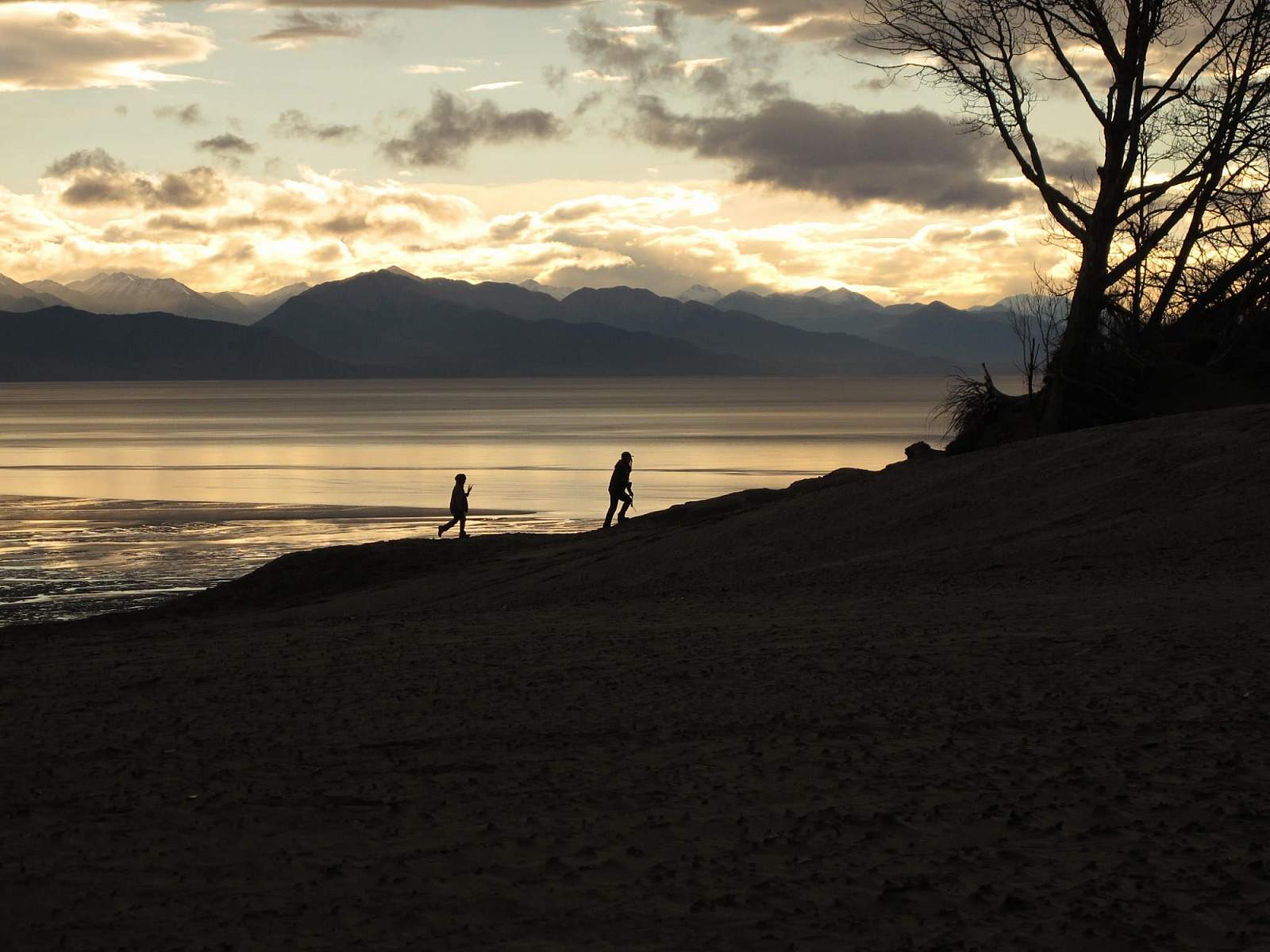
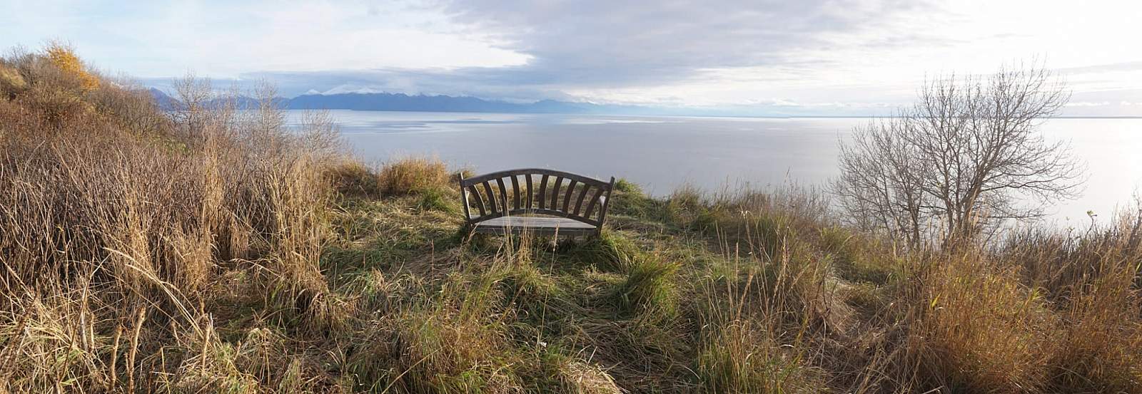
After one particularly short, sharp climb you’ll reach a well-placed bench overlooking Cook Inlet—a fine place to take a break on a sunny day or a purple evening. Past the bench, the trail winds back and forth and up and down for another mile, then leads out onto a perch above (surprise!) sand dunes. At the base of these sand dunes winds a motocross track, so hopefully you won’t be here when engines are roaring up from below.
After dropping off the sand dunes to the left and hiking a short way through the trees, you’ll find yourself back on wide ski trails. These trails twist and turn but eventually lead out to the paved bike trail. Once there, turn left for the final easy hike up that trail back to Kincaid Chalet.
(For more, see Walk-About Guide to Alaska, Volume Two by Shawn R. Lyons)